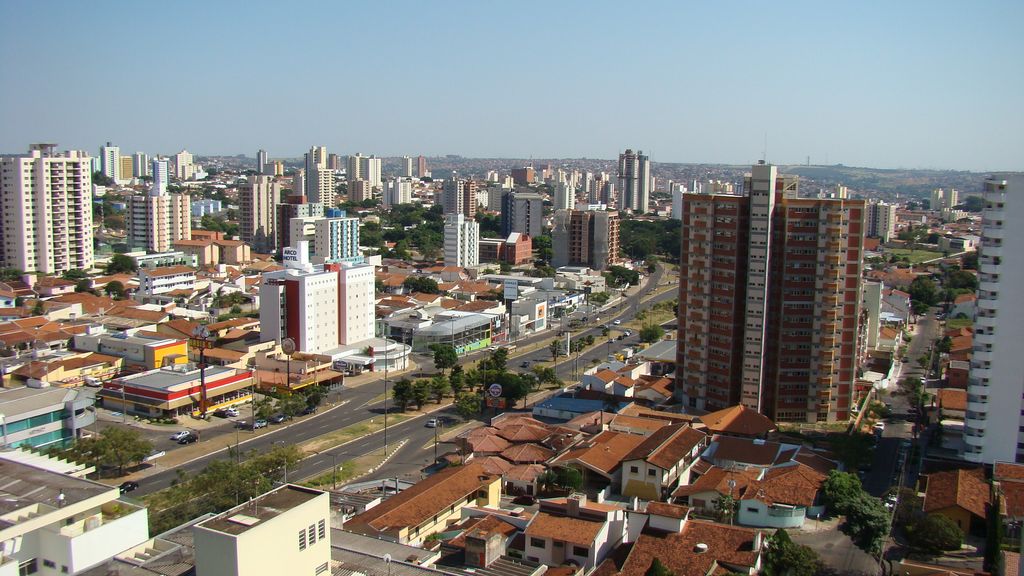
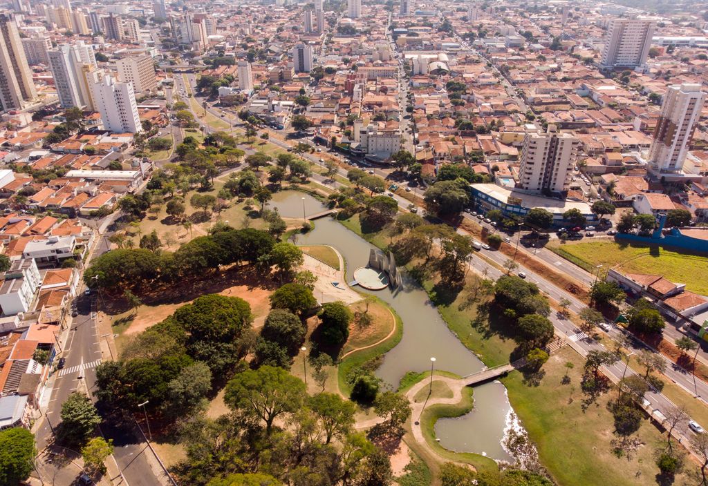
Bauru (Portuguese pronunciation: [bawˈɾu]) is a Brazilian municipality in midwestern region of the state of São Paulo. It is the main city of the mesoregion and microregion of Bauru. The population is 379,297 (2020 est.) in an area of 667.68 km2. Established in 1896, its boundaries are Reginópolis to the north, Arealva to the northeast, Pederneiras to the east, Agudos and Piratininga to the south and Avaí to the west. The presence of a strong service sector, many college campuses - including the University of São Paulo and Universidade Estadual Paulista - and the city's location at the junction of three railroads and three highways make Bauru a major urban center of the State of São Paulo. It is the hometown of Marcos César Pontes, the first Brazilian in space. It is also the town where Pelé grew up and learned his football skills. The city is served by two airports: the older Comte. João Ribeiro de Barros Airport and the newer Bauru-Arealva Airport, officially known as Moussa Nakhl Tobias Airport, located in the adjoining municipality of Arealva.
Show more
Sun and Moon
Mon
Tue
Wed
Thu
Fri
Sat
Sun
May 2022
Date and time
00:00
06:00
12:00
18:00
Today
--
--
Sunrise
--
Sunset
--
Moonrise
--
Moonset
Phase
🌔 Waxing Gibbous
The perfect light time for beautiful photos:
--
Sunrise
--
Sunset
PeakVisor app
Get the app on your smartphone
New Panorama Tools
Trace location on the map
Measure distances
All the instruments are available in the context menu as well.
We use GPS information embedded into the photo when it is available.
3D mountains overlay
Adjust mountain panorama to perfectly match your photos because recorded by camera photo position might be imprecise.
Move tool
Rotate tool
Zoom
More customization
Choose which peak labels should make into the final photo and what photo title should be.
Next
Photo Location
Satellitte
Flat map
Relief map
Latitude
Longitude
Altitude
OR
Latitude
°'''
Longitude
°'''
Apply
Register Peak
Peak Name
Latitude
Longitude
Altitude
Register
Teleport
PeakVisor
This 3D model of Sagarmatha National Park in Nepal was made using the PeakVisor app topographic data. The mobile app features higher precision models worldwide, more topographic details, and works offline. Download PeakVisor maps today.
Download OBJ model
PeakVisor
The download should start shortly. If you find it useful please consider supporting the PeakVisor app.
PeakVisor for iOS and Android
Be a superhero of outdoor navigation with state-of-the-art 3D maps and mountain identification in the palm of your hand!