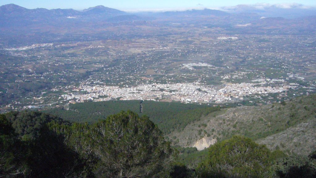
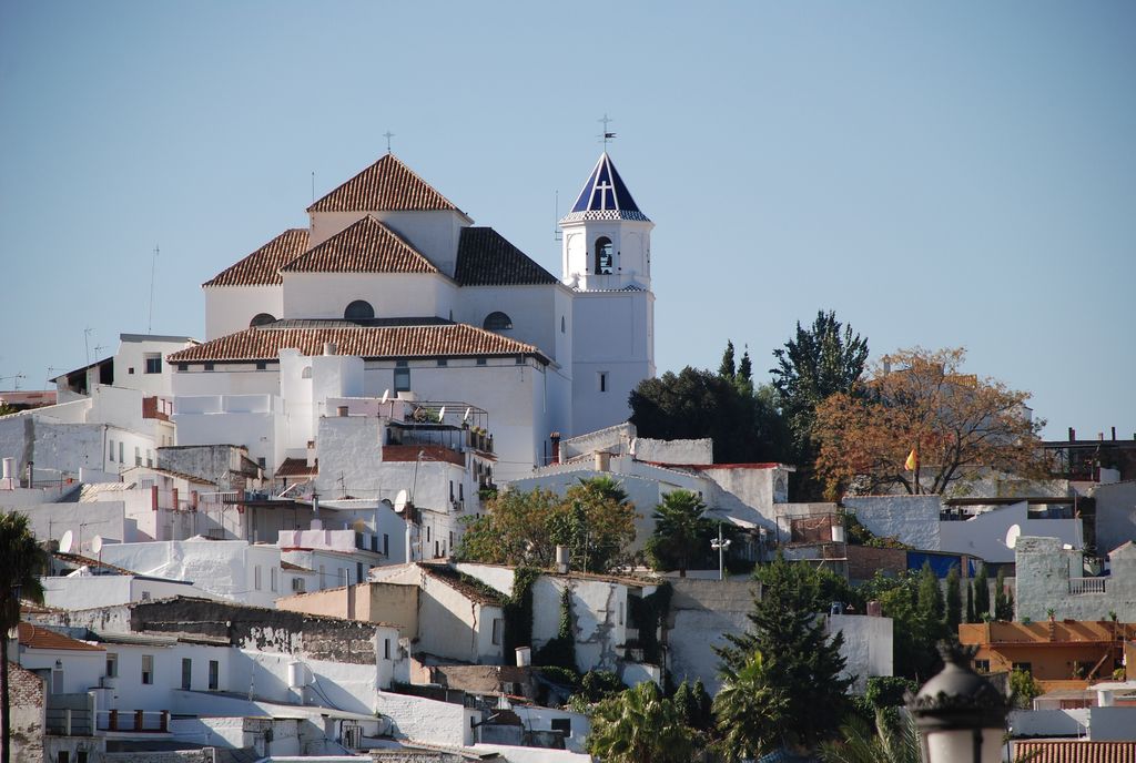
Alhaurín el Grande is a town located in the province of Málaga in the autonomous community of Andalusia in southern Spain. It covers an area of 73.1 km2 extending from the northern slope of the Sierra de Mijas and the plain of the Guadalhorce river, where alternate crops of citrus and other fruit trees orchards are found. The population reaches 23,675 inhabitants, according to 2010 data. The origin of the name was given by the Arabs, who called it "Alhaurin", where the Catholic Monarchs added "el Grande" to distinguish it from the neighboring town of Alhaurín de la Torre after the conquest of both sites in 1485. It is situated between the river Fahala and the stream of Blas González. The coast is close by and there is a network of roads to get there. There is a road to Málaga Airport and Torremolinos, which takes about 30 minutes by car. A new road was built in 2010 connecting the town with Fuengirola and the beach which is only 20 minutes drive. There is also another new road to Marbella, to the southwest with Mijas just along a winding road round the mountain. From Alhaurín there is a view over the "Hoya de Málaga", Málaga's vale, full of lemon trees and other fruit trees. Villafranco del Guadalhorce is a village within Alhaurín el Grande's municipal territory. It was founded by colonist families in the 1950s and subsidized by the Instituto Nacional de Colonización of the Spanish government.
Show more
Sun and Moon
Mon
Tue
Wed
Thu
Fri
Sat
Sun
May 2022
Date and time
00:00
06:00
12:00
18:00
Today
--
--
Sunrise
--
Sunset
--
Moonrise
--
Moonset
Phase
🌔 Waxing Gibbous
The perfect light time for beautiful photos:
--
Sunrise
--
Sunset
PeakVisor app
Get the app on your smartphone
New Panorama Tools
Trace location on the map
Measure distances
All the instruments are available in the context menu as well.
We use GPS information embedded into the photo when it is available.
3D mountains overlay
Adjust mountain panorama to perfectly match your photos because recorded by camera photo position might be imprecise.
Move tool
Rotate tool
Zoom
More customization
Choose which peak labels should make into the final photo and what photo title should be.
Next
Photo Location
Satellitte
Flat map
Relief map
Latitude
Longitude
Altitude
OR
Latitude
°'''
Longitude
°'''
Apply
Register Peak
Peak Name
Latitude
Longitude
Altitude
Register
Teleport
PeakVisor
This 3D model of Sagarmatha National Park in Nepal was made using the PeakVisor app topographic data. The mobile app features higher precision models worldwide, more topographic details, and works offline. Download PeakVisor maps today.
Download OBJ model
PeakVisor
The download should start shortly. If you find it useful please consider supporting the PeakVisor app.
PeakVisor for iOS and Android
Be a superhero of outdoor navigation with state-of-the-art 3D maps and mountain identification in the palm of your hand!