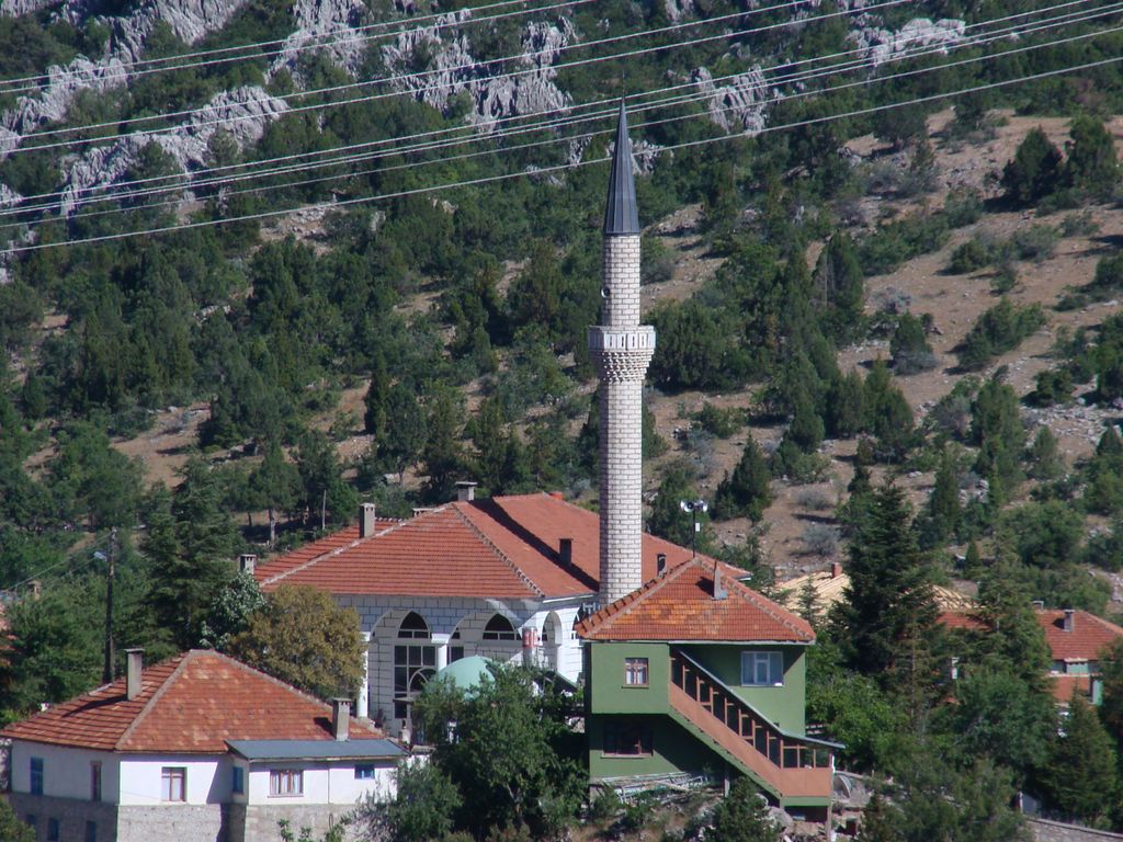
Akseki is a municipality and district of Antalya Province, Turkey. Its area is 1,544 km2, and its population is 10,477 (2022). Known for its snowdrops, Akseki is located in the western Taurus Mountains at an elevation of 1100m. The Manavgat River passes through a large valley in the centre of the district, which is otherwise mainly mountainous. Places of interest include caves, valleys and a number of high meadows. This windswept rocky mountainside is not good farmland and the local economy mostly depends on forestry and raising sheep and cattle. Many people from Akseki have migrated to Antalya but still have homes here as an escape from the summer heat on the coast. The people of Akseki have a reputation as canny traders, and some prominent businessman were brought up here including restaurateur and fruit-juice producer Ömer Duruk. Akseki was formerly Byzantine town of Marla, Marulya, or Marulia. It was conquered by the Seljuk Turks and the Ottoman Empire along with other towns in the area. Antalya's Akdeniz University has a branch here training nurses, and doing some other vocational training. With its rich architectural heritage, Akseki is a member of the Norwich-based European Association of Historic Towns and Regions. The country boasts an economy based on cattle and almond trade.
Show more
Sun and Moon
Mon
Tue
Wed
Thu
Fri
Sat
Sun
May 2022
Date and time
00:00
06:00
12:00
18:00
Today
--
--
Sunrise
--
Sunset
--
Moonrise
--
Moonset
Phase
🌔 Waxing Gibbous
The perfect light time for beautiful photos:
--
Sunrise
--
Sunset
PeakVisor app
Get the app on your smartphone
New Panorama Tools
Trace location on the map
Measure distances
All the instruments are available in the context menu as well.
We use GPS information embedded into the photo when it is available.
3D mountains overlay
Adjust mountain panorama to perfectly match your photos because recorded by camera photo position might be imprecise.
Move tool
Rotate tool
Zoom
More customization
Choose which peak labels should make into the final photo and what photo title should be.
Next
Photo Location
Satellitte
Flat map
Relief map
Latitude
Longitude
Altitude
OR
Latitude
°'''
Longitude
°'''
Apply
Register Peak
Peak Name
Latitude
Longitude
Altitude
Register
Teleport
PeakVisor
This 3D model of Sagarmatha National Park in Nepal was made using the PeakVisor app topographic data. The mobile app features higher precision models worldwide, more topographic details, and works offline. Download PeakVisor maps today.
Download OBJ model
PeakVisor
The download should start shortly. If you find it useful please consider supporting the PeakVisor app.
PeakVisor for iOS and Android
Be a superhero of outdoor navigation with state-of-the-art 3D maps and mountain identification in the palm of your hand!