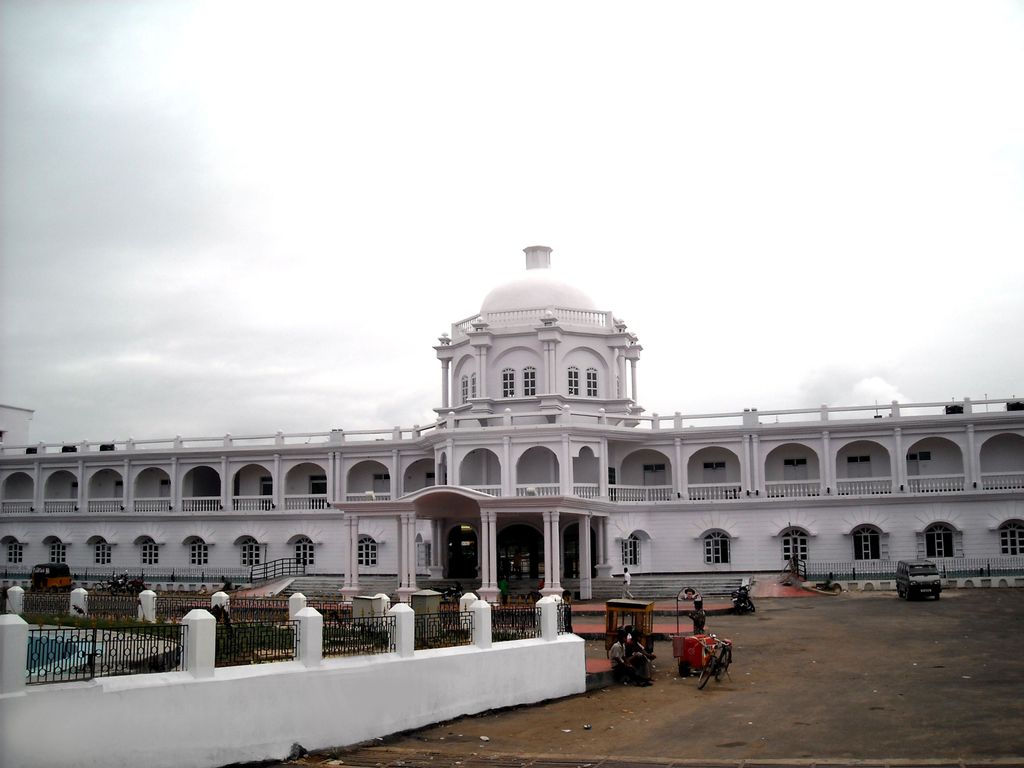
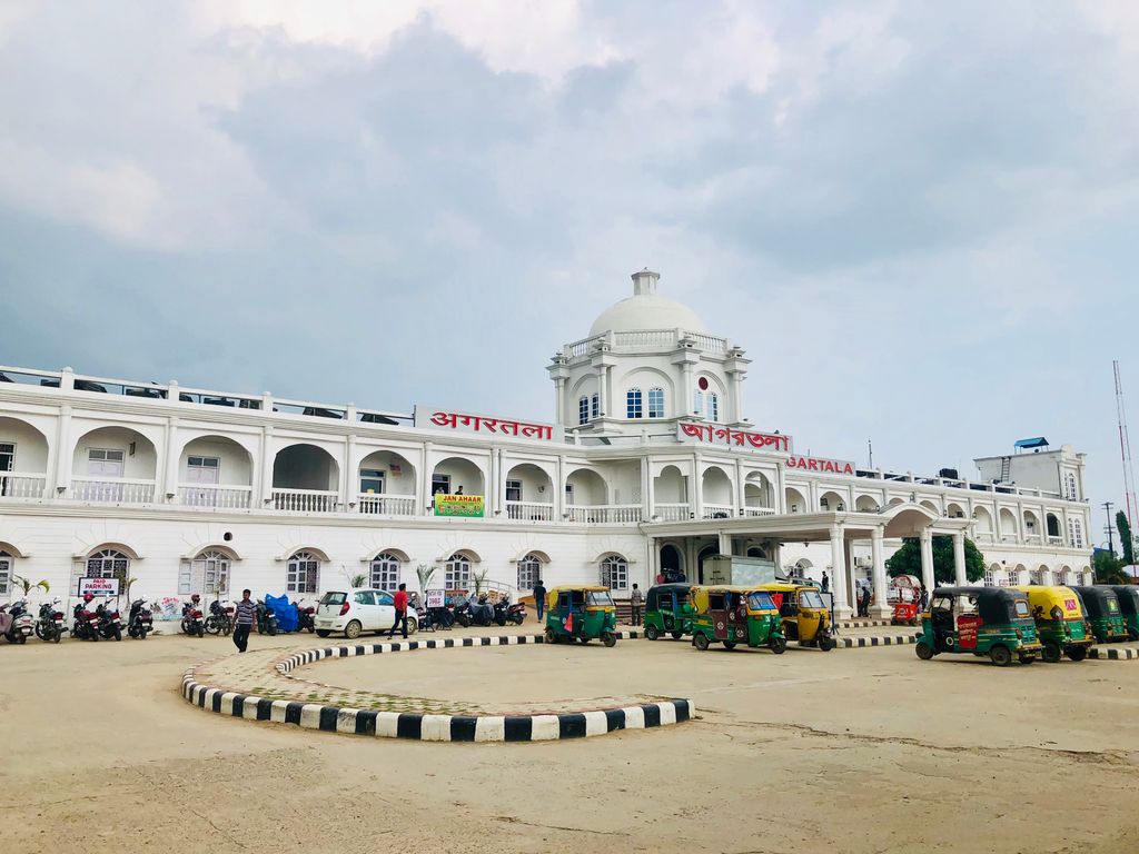
Agartala Railway Station is located 5.5 km (3.4 mi) from Agartala in Tripura, India. It is the second capital city (after Guwahati, Assam) in northeast India to be connected to the country's railway map, moreover Agartala is the first state capital of independent India to be connected with a rail network. Before 2015 the 413-kilometre (257 mi) route was connected to Lumding with a metre-gauge track, but after the gauge conversion to broad gauge in 2016, the track is connected directly to Guwahati and the rest of India. From Agartala an under-construction track has been on the way for a connection towards the extreme Southern end point of the state at Sabroom, which has been completed on 3 October 2019. A total of 21 constructed stations and few under-construction stations in the state, with Churaibari being the last one through the Northern side and Sabroom (functioning & completed) in the Southern side. The total length of track from the capital towards the North region's last station is approx. 153 km (95 mi), after which the territory of Assam starts. There are a lot of transportation modes available to reach the city from the station.
We use GPS information embedded into the photo when it is available.
3D mountains overlay
Adjust mountain panorama to perfectly match your photos because recorded by camera photo position might be imprecise.
Move tool
Rotate tool
Zoom
More customization
Choose which peak labels should make into the final photo and what photo title should be.
Next
Photo Location
Satellitte
Flat map
Relief map
Latitude
Longitude
Altitude
OR
Latitude
°'''
Longitude
°'''
Apply
Register Peak
Peak Name
Latitude
Longitude
Altitude
Register
Teleport
PeakVisor
This 3D model of Sagarmatha National Park in Nepal was made using the PeakVisor app topographic data. The mobile app features higher precision models worldwide, more topographic details, and works offline. Download PeakVisor maps today.
Download OBJ model
PeakVisor
The download should start shortly. If you find it useful please consider supporting the PeakVisor app.
PeakVisor for iOS and Android
Be a superhero of outdoor navigation with state-of-the-art 3D maps and mountain identification in the palm of your hand!