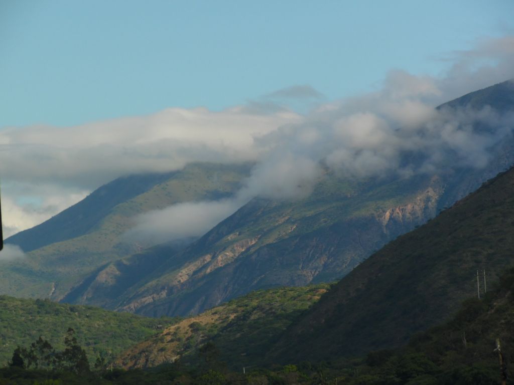
The Abra de Porculla, also known as the Paso de Porculla is an east-west pass through the Western Cordillera of the Andes Mountains in northern Peru. At 2145 m above sea level it is the lowest pass through the Andes throughout the entire length of the mountain chain from Colombia to Chile. It lies at the point where the Huancabamba Depression also interrupts the Central and Eastern Cordilleras. The pass was discovered in 1902 by the Peruvian explorer Manuel Antonio Mesones Muro. It offers one of the shortest routes across South America between the Pacific and Atlantic Oceans and carries the Carretera Interoceánica Norte (Northern Interoceanic Highway), linking Peru and Brazil. The route offers an alternative to the Panama Canal and Cape Horn for east-west transcontinental traffic. The Huancabamba Depression in which the Abra de Porculla pass is located separates the northern and southern Andes and serves as a biogeographic barrier to species movement. The pass, at latitude approximately 6° South, marks the southern limit of the Northern Andes Ecoregional Complex (NAEC). The NAEC is a complex of 14 distinct ecoregions in the highlands of the tropical Andes, each harbouring a unique set of species, climatic conditions, and geographical features but linked by common ecological processes.
We use GPS information embedded into the photo when it is available.
3D mountains overlay
Adjust mountain panorama to perfectly match your photos because recorded by camera photo position might be imprecise.
Move tool
Rotate tool
Zoom
More customization
Choose which peak labels should make into the final photo and what photo title should be.
Next
Photo Location
Satellitte
Flat map
Relief map
Latitude
Longitude
Altitude
OR
Latitude
°'''
Longitude
°'''
Apply
Register Peak
Peak Name
Latitude
Longitude
Altitude
Register
Teleport
PeakVisor
This 3D model of Sagarmatha National Park in Nepal was made using the PeakVisor app topographic data. The mobile app features higher precision models worldwide, more topographic details, and works offline. Download PeakVisor maps today.
Download OBJ model
PeakVisor
The download should start shortly. If you find it useful please consider supporting the PeakVisor app.
PeakVisor for iOS and Android
Be a superhero of outdoor navigation with state-of-the-art 3D maps and mountain identification in the palm of your hand!