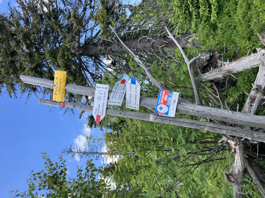
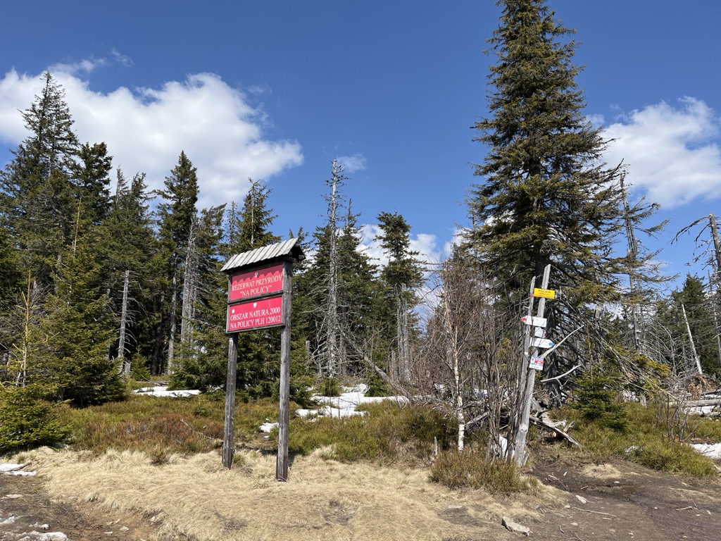
Polica, locally known as Police, is a mountain, 1,369 m (4,491 ft), in southern Poland near Zawoja, in the Żywiec Beskids mountain range.
LOT Polish Airlines Flight 165 crashed on the northern slope of Police on 2 April 1969. The accident spot is marked by a cross, erected in the 1990s.
Until 1918, Polica was on the border between Galicia and Hungary, and between 1918 and 1920 on the Polish-Czechoslovak border.
There's a trail leading to the summit. Polica is one of the 155 peaks along the multi-day Main Trail of Beskidy.
The nearest mountain hut is Schronisko PTTK na Hali Krupowej located 1 866m/6 121ft E of the summit.
By elevation Polica is
# 1 out of 1 in Rezerwat Na Policy # 1 out of 1 in Rezerwat na Policy im. Z. Klemensiewicza # 4 out of 700 in powiat nowotarski # 6 out of 268 in powiat suski
By prominence Polica is
# 1 out of 1 in Rezerwat Na Policy # 1 out of 1 in Rezerwat na Policy im. Z. Klemensiewicza # 15 out of 4100 in Lesser Poland Voivodeship # 6 out of 700 in powiat nowotarski # 2 out of 268 in powiat suski # 30 out of 19162 in Poland
We use GPS information embedded into the photo when it is available.
3D mountains overlay
Adjust mountain panorama to perfectly match your photos because recorded by camera photo position might be imprecise.
Move tool
Rotate tool
Zoom
More customization
Choose which peak labels should make into the final photo and what photo title should be.
Next
Photo Location
Satellitte
Flat map
Relief map
Latitude
Longitude
Altitude
OR
Latitude
°'''
Longitude
°'''
Apply
Register Peak
Peak Name
Latitude
Longitude
Altitude
Register
Teleport
PeakVisor
This 3D model of Sagarmatha National Park in Nepal was made using the PeakVisor app topographic data. The mobile app features higher precision models worldwide, more topographic details, and works offline. Download PeakVisor maps today.
Download OBJ model
PeakVisor
The download should start shortly. If you find it useful please consider supporting the PeakVisor app.
PeakVisor for iOS and Android
Be a superhero of outdoor navigation with state-of-the-art 3D maps and mountain identification in the palm of your hand!