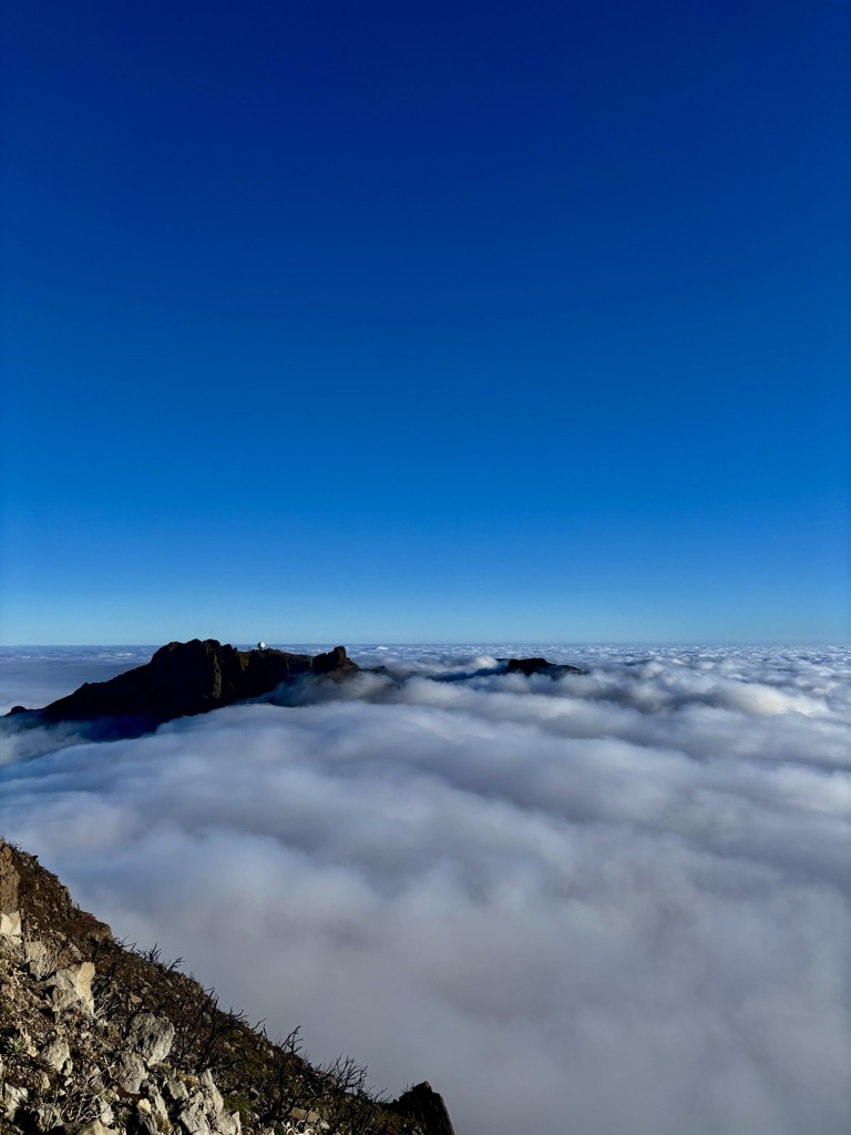
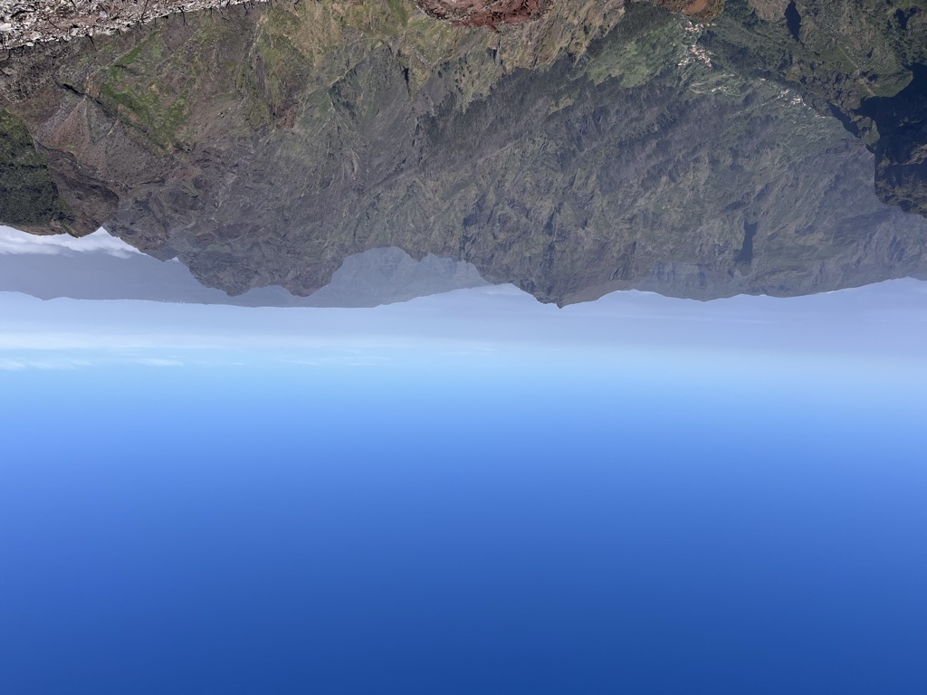
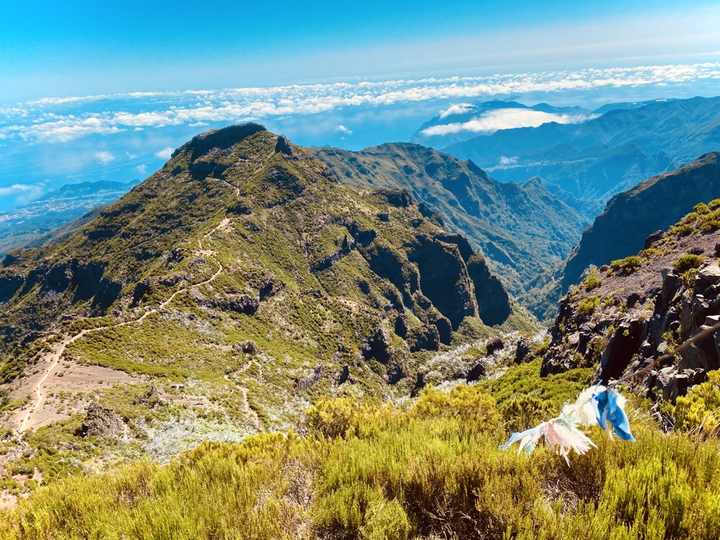
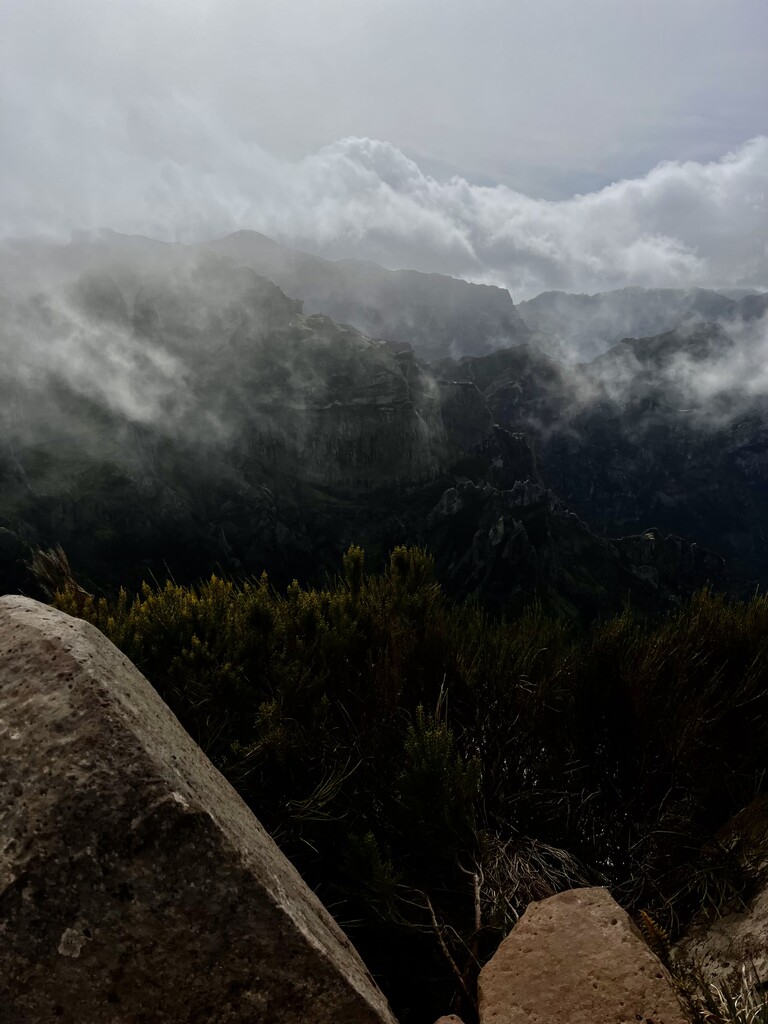
Pico Ruivo is the highest peak on Madeira Island. It can be reached only by foot, usually either from Pico do Areeiro (3rd highest) after a strenuous hike, or from Achada do Teixeira via a shorter, easier trail. There is an additional trail leading west to Encumeada. The hut just below the summit is now open, and there are water tap and toilets available.
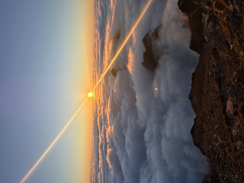
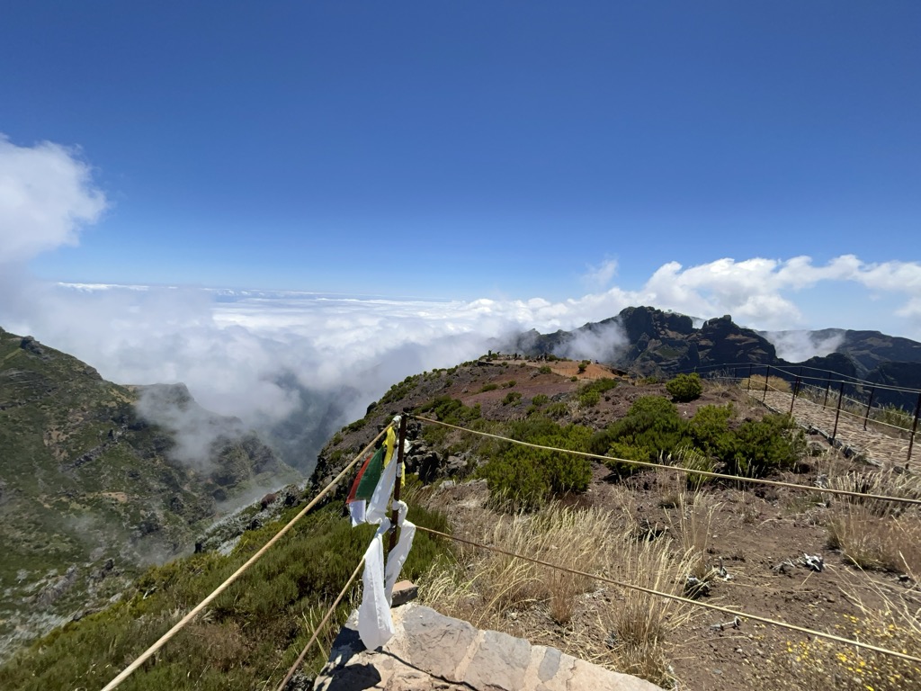
Pico Ruivo is 1,861 metres (6,106 ft) high and provides panoramic views of the island from coast to coast, but unpredictable weather conditions can make it quite dangerous.
There's a hiking trail (T2) leading to the summit. Ruivo is one of the 5 peaks along the Vereda do Arieiro - EAST Route (Pico das Torres).
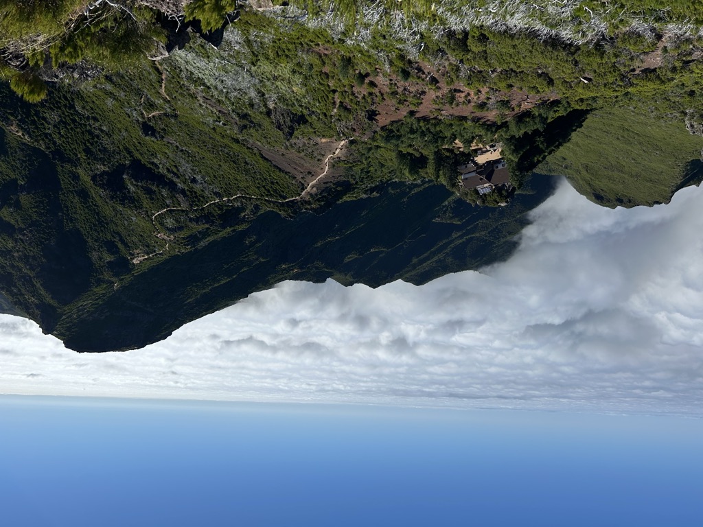
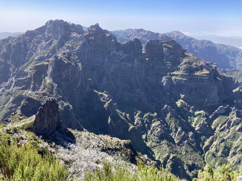
The nearest mountain hut is Casa do Ruivo located 201m/658ft ENE of the summit.
By elevation Ruivo is
# 1 out of 143 in Madeira # 6 out of 3785 in Portugal # 1 out of 86 in Madeira Natural Park # 1 out of 17 in Madeira Island Eastern mountainous massif Special Protection Area # 1 out of 30 in Madeira Island central mountainous massif Special Area of Conservation
By prominence Ruivo is
# 1 out of 143 in Madeira # 2 out of 3785 in Portugal # 1 out of 86 in Madeira Natural Park # 1 out of 17 in Madeira Island Eastern mountainous massif Special Protection Area # 1 out of 30 in Madeira Island central mountainous massif Special Area of Conservation
We use GPS information embedded into the photo when it is available.
3D mountains overlay
Adjust mountain panorama to perfectly match your photos because recorded by camera photo position might be imprecise.
Move tool
Rotate tool
Zoom
More customization
Choose which peak labels should make into the final photo and what photo title should be.
Next
Photo Location
Satellitte
Flat map
Relief map
Latitude
Longitude
Altitude
OR
Latitude
°'''
Longitude
°'''
Apply
Register Peak
Peak Name
Latitude
Longitude
Altitude
Register
Teleport
PeakVisor
This 3D model of Sagarmatha National Park in Nepal was made using the PeakVisor app topographic data. The mobile app features higher precision models worldwide, more topographic details, and works offline. Download PeakVisor maps today.
Download OBJ model
PeakVisor
The download should start shortly. If you find it useful please consider supporting the PeakVisor app.
PeakVisor for iOS and Android
Be a superhero of outdoor navigation with state-of-the-art 3D maps and mountain identification in the palm of your hand!