Available for connected Garmin and Suunto accounts.
Scan the QR code and open PeakVisor on your phone
Oryahovo Heights map
Oryahovo Heights
L
Add photo
About
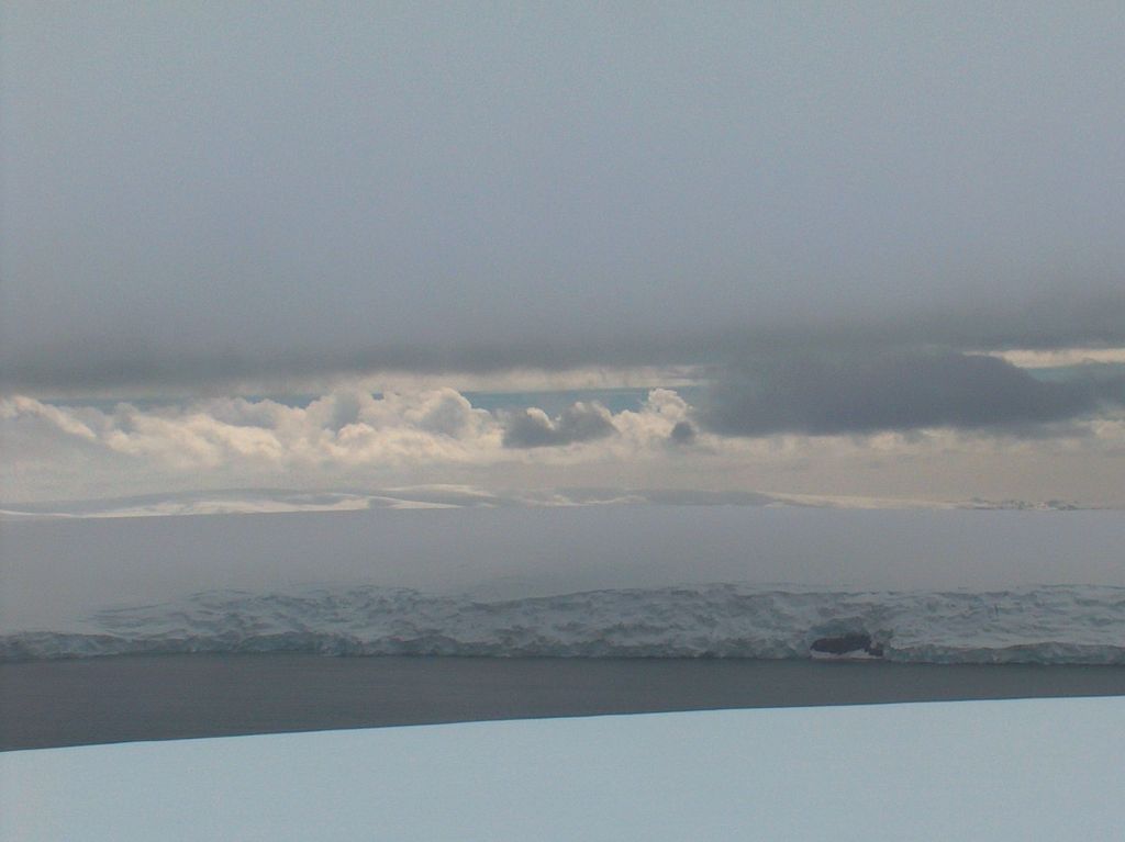
Oryahovo Heights (Oryahovski Vazvisheniya \o-'rya-hov-ski v&-zvi-'she-ni-ya\) are the ice-covered heights of elevation 340 m extending 6 km in north-south direction in central and eastern Ioannes Paulus II Peninsula, Livingston Island in the South Shetland Islands, Antarctica. They are linked to Snow Peak to the southeast by two saddles separated by the small ice dome of Casanovas Peak described by Àlex Simón i Casanovas from the Spanish Antarctic Programme in the 2000/01 austral summer. The heights were visited by a field party from the British base camp Station P during the summer season 1957/58.
They are named after the town of Oryahovo in northwestern Bulgaria.
Show more
Sun and Moon
Mon
Tue
Wed
Thu
Fri
Sat
Sun
May 2022
Date and time
00:00
06:00
12:00
18:00
Today
--
--
Sunrise
--
Sunset
--
Moonrise
--
Moonset
Phase
🌔 Waxing Gibbous
The perfect light time for beautiful photos:
--
Sunrise
--
Sunset
PeakVisor app
Get the app on your smartphone
New Panorama Tools
Trace location on the map
Measure distances
All the instruments are available in the context menu as well.
We use GPS information embedded into the photo when it is available.
3D mountains overlay
Adjust mountain panorama to perfectly match your photos because recorded by camera photo position might be imprecise.
Move tool
Rotate tool
Zoom
More customization
Choose which peak labels should make into the final photo and what photo title should be.
Next
Photo Location
Satellitte
Flat map
Relief map
Latitude
Longitude
Altitude
OR
Latitude
°'''
Longitude
°'''
Apply
Register Peak
Peak Name
Latitude
Longitude
Altitude
Register
Teleport
PeakVisor
This 3D model of Sagarmatha National Park in Nepal was made using the PeakVisor app topographic data. The mobile app features higher precision models worldwide, more topographic details, and works offline. Download PeakVisor maps today.
Download OBJ model
PeakVisor
The download should start shortly. If you find it useful please consider supporting the PeakVisor app.
PeakVisor for iOS and Android
Be a superhero of outdoor navigation with state-of-the-art 3D maps and mountain identification in the palm of your hand!