The Lower Rhine Heights (German: Niederrheinischer Höhenzug) is a hill ridge which, with several interruptions, stretches in a broad arc through the Lower Rhine Plain from Krefeld to Nijmegen, between the valley of the Rhine in the east and that of the Niers in the west. This landform element is also called the Lower Rhine Hill Ridge.
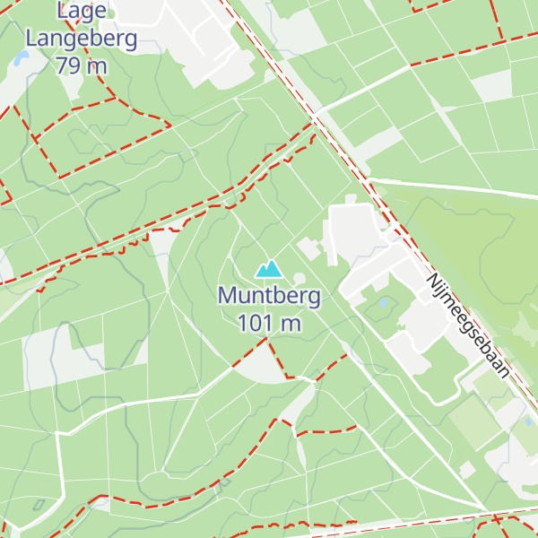
The sandhills, which in some places reach around hundred meters in height (Klever Berg (106 m)) and protrude more than sixty meters above the surrounding river terraces of the Lower Rhine, originated in the penultimate glacial period (the Saale glaciation) as terminal moraine ridges from glaciers advancing from the northeast. Two of the glacial termini formed the glacial basins of Groesbeek and Kranenburg, resulting in the distinctly recognizable typical W-shaped ridge between Nijmegen and Kleve.
We use GPS information embedded into the photo when it is available.
3D mountains overlay
Adjust mountain panorama to perfectly match your photos because recorded by camera photo position might be imprecise.
Move tool
Rotate tool
Zoom
More customization
Choose which peak labels should make into the final photo and what photo title should be.
Next
Photo Location
Satellitte
Flat map
Relief map
Latitude
Longitude
Altitude
OR
Latitude
°'''
Longitude
°'''
Apply
Register Peak
Peak Name
Latitude
Longitude
Altitude
Register
Teleport
PeakVisor
This 3D model of Sagarmatha National Park in Nepal was made using the PeakVisor app topographic data. The mobile app features higher precision models worldwide, more topographic details, and works offline. Download PeakVisor maps today.
Download OBJ model
PeakVisor
The download should start shortly. If you find it useful please consider supporting the PeakVisor app.
PeakVisor for iOS and Android
Be a superhero of outdoor navigation with state-of-the-art 3D maps and mountain identification in the palm of your hand!