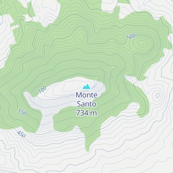
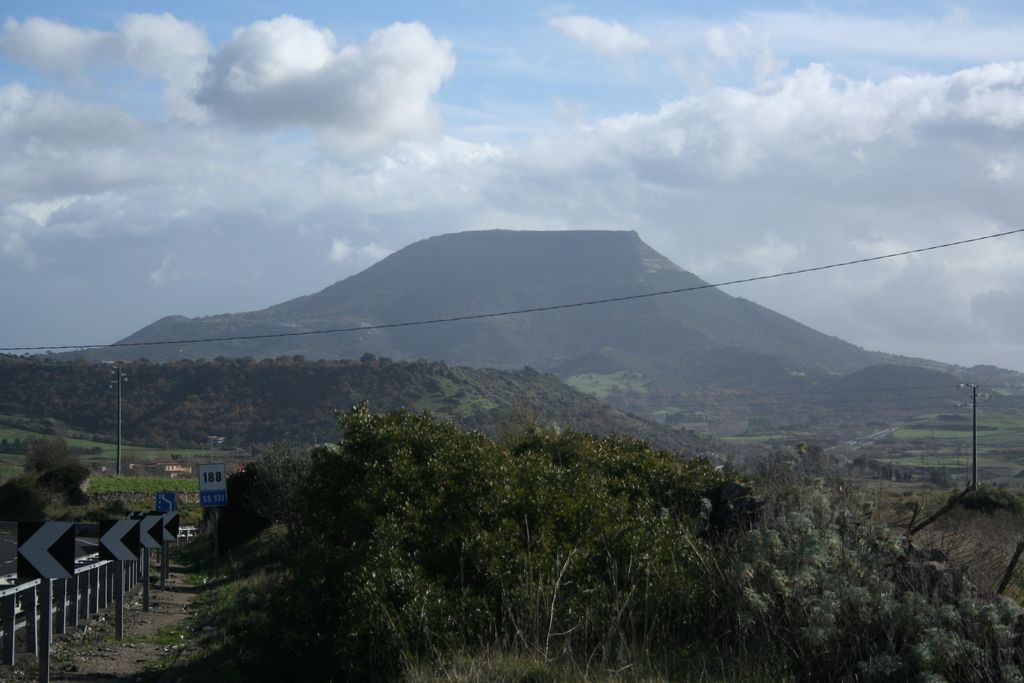
Monte Santo (Monte Santu or Monte Sant'Elies in Sardinian language) is an isolated Sardinian mountain and a mesa in Logudoro's northern province of Sassari (Italy). It has an elevation of 733 metres (2,405 ft).
The most substantial portion of the mountain is located in the territory of Siligo. However, some parts belong to the comunes of Ardara, Bonnanaro and Mores.
On the summit plateau is the church of St. Elias and st. Enoch, who appeared in the list of goods in the gift, made in favor of the abbey of Montecassino in eleventh century from Judge Barisone I of Torres
There's a trail leading to the summit.
By prominence Monte Santo is
# 37 out of 3591 in the Sardinia # 13 out of 1054 in Sassari # 37 out of 3589 in Sardinia
We use GPS information embedded into the photo when it is available.
3D mountains overlay
Adjust mountain panorama to perfectly match your photos because recorded by camera photo position might be imprecise.
Move tool
Rotate tool
Zoom
More customization
Choose which peak labels should make into the final photo and what photo title should be.
Next
Photo Location
Satellitte
Flat map
Relief map
Latitude
Longitude
Altitude
OR
Latitude
°'''
Longitude
°'''
Apply
Register Peak
Peak Name
Latitude
Longitude
Altitude
Register
Teleport
PeakVisor
This 3D model of Sagarmatha National Park in Nepal was made using the PeakVisor app topographic data. The mobile app features higher precision models worldwide, more topographic details, and works offline. Download PeakVisor maps today.
Download OBJ model
PeakVisor
The download should start shortly. If you find it useful please consider supporting the PeakVisor app.
PeakVisor for iOS and Android
Be a superhero of outdoor navigation with state-of-the-art 3D maps and mountain identification in the palm of your hand!


.jpg)