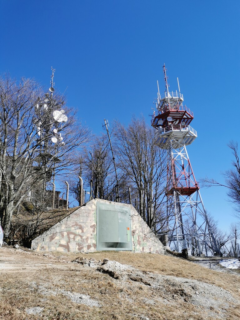
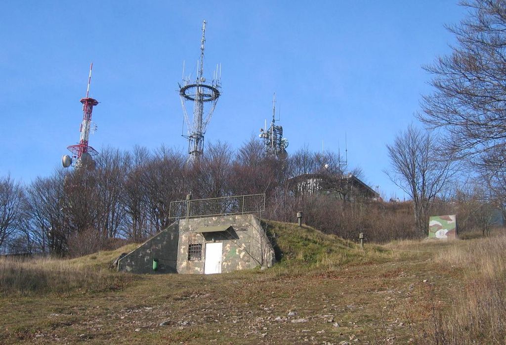
Mount Krim (pronounced [ˈkɾiːm]) is a 1,107-meter-high mountain on the southern edge of the Ljubljana Marsh in Slovenia. Due to its location and shape, it is one of the most recognizable features of the Ljubljana Basin and it is visited each year by thousands of hikers. In the 1970s, the Yugoslav People's Army closed the summit to the public and built a radio center there. Since 1991, the summit has been open again to visitors, and there is also a small mountain lodge.
There's a trail leading to the summit.
The nearest mountain hut is Planinska koča na Krimu located 9m/28ft undefined of the summit.
We use GPS information embedded into the photo when it is available.
3D mountains overlay
Adjust mountain panorama to perfectly match your photos because recorded by camera photo position might be imprecise.
Move tool
Rotate tool
Zoom
More customization
Choose which peak labels should make into the final photo and what photo title should be.
Next
Photo Location
Satellitte
Flat map
Relief map
Latitude
Longitude
Altitude
OR
Latitude
°'''
Longitude
°'''
Apply
Register Peak
Peak Name
Latitude
Longitude
Altitude
Register
Teleport
PeakVisor
This 3D model of Sagarmatha National Park in Nepal was made using the PeakVisor app topographic data. The mobile app features higher precision models worldwide, more topographic details, and works offline. Download PeakVisor maps today.
Download OBJ model
PeakVisor
The download should start shortly. If you find it useful please consider supporting the PeakVisor app.
PeakVisor for iOS and Android
Be a superhero of outdoor navigation with state-of-the-art 3D maps and mountain identification in the palm of your hand!