Ještěd (Czech pronunciation: [ˈjɛʃcɛt]; German: Jeschken) is the highest mountain of the Ještěd–Kozákov Ridge in the north of the Czech Republic, at 1,012 m (3,320 ft). It is the symbol of the city of Liberec.
On the summit is the Ještěd Tower restaurant, hotel and television tower, designed by Karel Hubáček, accessible by road or cable car (Ještěd cable car). The mountain also has a ski resort. From the summit there are views to Germany and Poland.
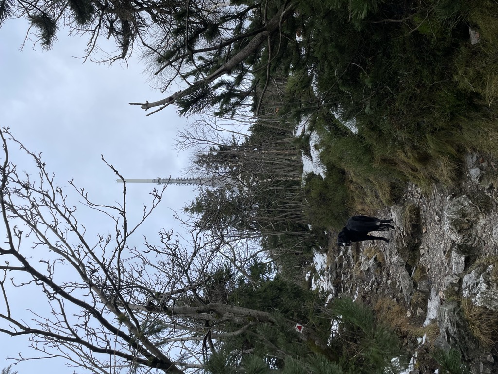
There's a trail leading to the summit.
The nearest mountain hut is Horská chata Ještědka located 302m/991ft SE of the summit.
By elevation Ještěd is
# 1 out of 1 in PP Terasy Ještědu # 37 out of 1309 in Liberecký kraj
By prominence Ještěd is
# 1 out of 1 in PP Terasy Ještědu # 4 out of 2721 in Northeast # 1 out of 1309 in Liberecký kraj # 11 out of 13640 in Czechia # 9 out of 23540 in the Bohemian Ranges
We use GPS information embedded into the photo when it is available.
3D mountains overlay
Adjust mountain panorama to perfectly match your photos because recorded by camera photo position might be imprecise.
Move tool
Rotate tool
Zoom
More customization
Choose which peak labels should make into the final photo and what photo title should be.
Next
Photo Location
Satellitte
Flat map
Relief map
Latitude
Longitude
Altitude
OR
Latitude
°'''
Longitude
°'''
Apply
Register Peak
Peak Name
Latitude
Longitude
Altitude
Register
Teleport
PeakVisor
This 3D model of Sagarmatha National Park in Nepal was made using the PeakVisor app topographic data. The mobile app features higher precision models worldwide, more topographic details, and works offline. Download PeakVisor maps today.
Download OBJ model
PeakVisor
The download should start shortly. If you find it useful please consider supporting the PeakVisor app.
PeakVisor for iOS and Android
Be a superhero of outdoor navigation with state-of-the-art 3D maps and mountain identification in the palm of your hand!