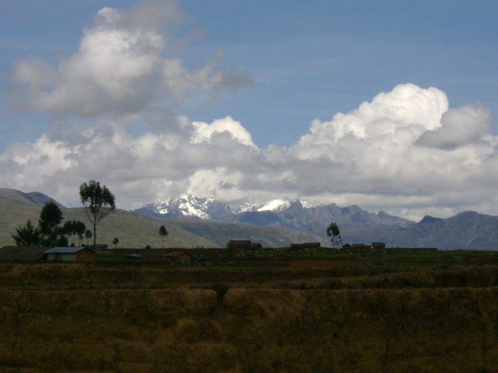
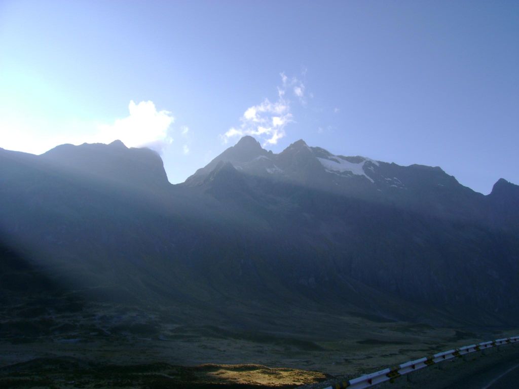
Huallanca (possibly from Quechua for "mountain range" and a cactus plant (Opuntia subulata)), also known as Burro (Spanish for "donkey"), is a 5,470 m (17,950 ft)) high mountain in the Andes of Peru. It is the highest peak in the Huallanca mountain range. Huallanca is located in the Ancash Region, Bolognesi Province, in the districts of Aquia and Huallanca. It is situated in the northern half of the range, southeast of the Yanashallash pass and the peaks of Tankan, Ch'uspi and Tankanqucha. Kuntur Wayi lies southwest of it. Winchus 4,795 m (15,732 ft)) is the peak west of Wallanka at the Tuna Kancha valley.
We use GPS information embedded into the photo when it is available.
3D mountains overlay
Adjust mountain panorama to perfectly match your photos because recorded by camera photo position might be imprecise.
Move tool
Rotate tool
Zoom
More customization
Choose which peak labels should make into the final photo and what photo title should be.
Next
Photo Location
Satellitte
Flat map
Relief map
Latitude
Longitude
Altitude
OR
Latitude
°'''
Longitude
°'''
Apply
Register Peak
Peak Name
Latitude
Longitude
Altitude
Register
Teleport
PeakVisor
This 3D model of Sagarmatha National Park in Nepal was made using the PeakVisor app topographic data. The mobile app features higher precision models worldwide, more topographic details, and works offline. Download PeakVisor maps today.
Download OBJ model
PeakVisor
The download should start shortly. If you find it useful please consider supporting the PeakVisor app.
PeakVisor for iOS and Android
Be a superhero of outdoor navigation with state-of-the-art 3D maps and mountain identification in the palm of your hand!