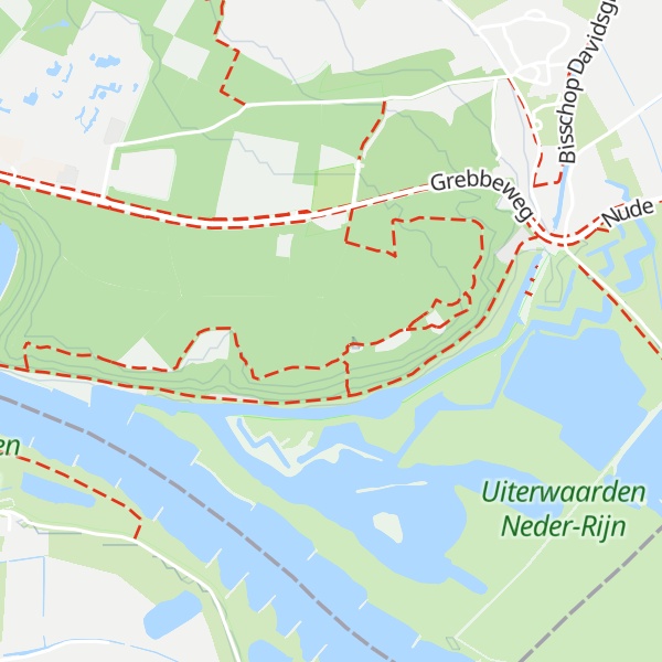
The Grebbeberg is a 52-meter high hill located east of Rhenen, Netherlands in the province of Utrecht. It forms the southeastern tip of the Utrecht Hill Ridge, a moraine. Due to its strategic location with a view of the Lower Rhine and the Betuwe, this hill was historically of great importance. The Grebbe Line was constructed from here in the 18th century. The hill is best known for the Battle of the Grebbeberg in May 1940. On the Grebbeberg is the Grebbeberg War Cemetery where Dutch soldiers are buried.
There's a trail leading to the summit.
By elevation Grebbeberg is
# 1 out of 1 in Grebbeberg # 1 out of 2 in Uiterwaarden Neder-Rijn # 7 out of 13 in Utrecht
By prominence Grebbeberg is
# 1 out of 1 in Grebbeberg # 1 out of 2 in Uiterwaarden Neder-Rijn # 87 out of 544 in Netherlands # 4 out of 13 in Utrecht
We use GPS information embedded into the photo when it is available.
3D mountains overlay
Adjust mountain panorama to perfectly match your photos because recorded by camera photo position might be imprecise.
Move tool
Rotate tool
Zoom
More customization
Choose which peak labels should make into the final photo and what photo title should be.
Next
Photo Location
Satellitte
Flat map
Relief map
Latitude
Longitude
Altitude
OR
Latitude
°'''
Longitude
°'''
Apply
Register Peak
Peak Name
Latitude
Longitude
Altitude
Register
Teleport
PeakVisor
This 3D model of Sagarmatha National Park in Nepal was made using the PeakVisor app topographic data. The mobile app features higher precision models worldwide, more topographic details, and works offline. Download PeakVisor maps today.
Download OBJ model
PeakVisor
The download should start shortly. If you find it useful please consider supporting the PeakVisor app.
PeakVisor for iOS and Android
Be a superhero of outdoor navigation with state-of-the-art 3D maps and mountain identification in the palm of your hand!