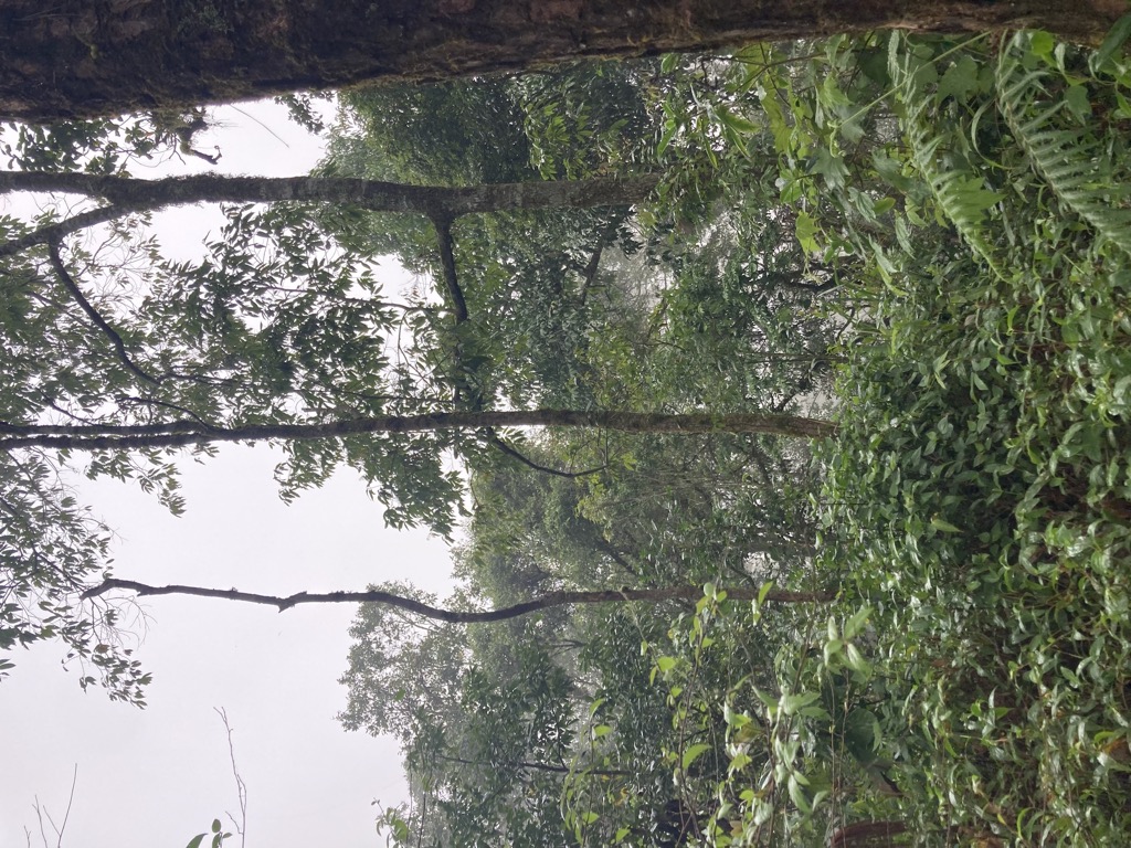
Doi Pui (Thai: ดอยปุย), is a mountain ("doi") west of Chiang Mai, Thailand. It is 1,685 metres (5,528 ft) in elevation and is one of the twin peaks of a granite mountain. The other peak is known as Doi Suthep and is slightly lower at 1,676 metres (5,499 ft), where the archaeological site of San Ku (สันกู่) temple, a Buddhist temple dating to approximately 800 years old, is located. The peak is situated in a protected area of Doi Suthep–Pui National Park just to the west of Ban Khun Chang Khian, a White Hmong village located 1,350 metres (4,430 ft) above sea level that was founded in 1955.
There's a trail leading to the summit.
By elevation Doi Pui is
# 45 out of 680 in Chiang Mai Province # 92 out of 11640 in Thailand # 1 out of 7 in Doi Suthep-Pui National Park
By prominence Doi Pui is
# 8 out of 680 in Chiang Mai Province # 45 out of 11640 in Thailand # 1 out of 7 in Doi Suthep-Pui National Park
We use GPS information embedded into the photo when it is available.
3D mountains overlay
Adjust mountain panorama to perfectly match your photos because recorded by camera photo position might be imprecise.
Move tool
Rotate tool
Zoom
More customization
Choose which peak labels should make into the final photo and what photo title should be.
Next
Photo Location
Satellitte
Flat map
Relief map
Latitude
Longitude
Altitude
OR
Latitude
°'''
Longitude
°'''
Apply
Register Peak
Peak Name
Latitude
Longitude
Altitude
Register
Teleport
PeakVisor
This 3D model of Sagarmatha National Park in Nepal was made using the PeakVisor app topographic data. The mobile app features higher precision models worldwide, more topographic details, and works offline. Download PeakVisor maps today.
Download OBJ model
PeakVisor
The download should start shortly. If you find it useful please consider supporting the PeakVisor app.
PeakVisor for iOS and Android
Be a superhero of outdoor navigation with state-of-the-art 3D maps and mountain identification in the palm of your hand!