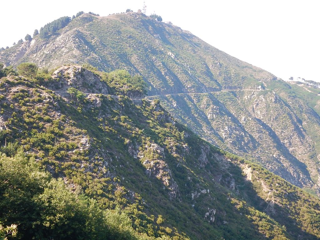
The Monte Dinnammare (1130 m) is the mountain that dominates the city of Messina on the eastern edge of Sicily, belonging to the Peloritani range. From its top it is possible to enjoy the panorama of the two seas, Ionian and Tyrrhenian, the Aeolian Islands, the Strait of Messina and Mount Etna. The Madonna of Dinnammare Sanctuary is located on its top and every third day of August, in the evening, a traditional procession starts from the village of Larderia in Messina to arrive at sunrise on the following day at the Sanctuary to celebrate the Madonna of Dinnammare with a mass.
A few metres below the top of the mount an ancient path named Dorsale dei Peloritani starts, going through all the ridge line of the Peloritani mountains. The mount is a natural theatre for birdwatching of the birds that cross the Strait of Messina every year. Twenty kilometres is the distance between the port of Messina and its top.
There's a trail leading to the summit.
By prominence Dinnammare is
# 92 out of 3534 in Sicily # 18 out of 1006 in Messina # 83 out of 3465 in the Sicily
We use GPS information embedded into the photo when it is available.
3D mountains overlay
Adjust mountain panorama to perfectly match your photos because recorded by camera photo position might be imprecise.
Move tool
Rotate tool
Zoom
More customization
Choose which peak labels should make into the final photo and what photo title should be.
Next
Photo Location
Satellitte
Flat map
Relief map
Latitude
Longitude
Altitude
OR
Latitude
°'''
Longitude
°'''
Apply
Register Peak
Peak Name
Latitude
Longitude
Altitude
Register
Teleport
PeakVisor
This 3D model of Sagarmatha National Park in Nepal was made using the PeakVisor app topographic data. The mobile app features higher precision models worldwide, more topographic details, and works offline. Download PeakVisor maps today.
Download OBJ model
PeakVisor
The download should start shortly. If you find it useful please consider supporting the PeakVisor app.
PeakVisor for iOS and Android
Be a superhero of outdoor navigation with state-of-the-art 3D maps and mountain identification in the palm of your hand!