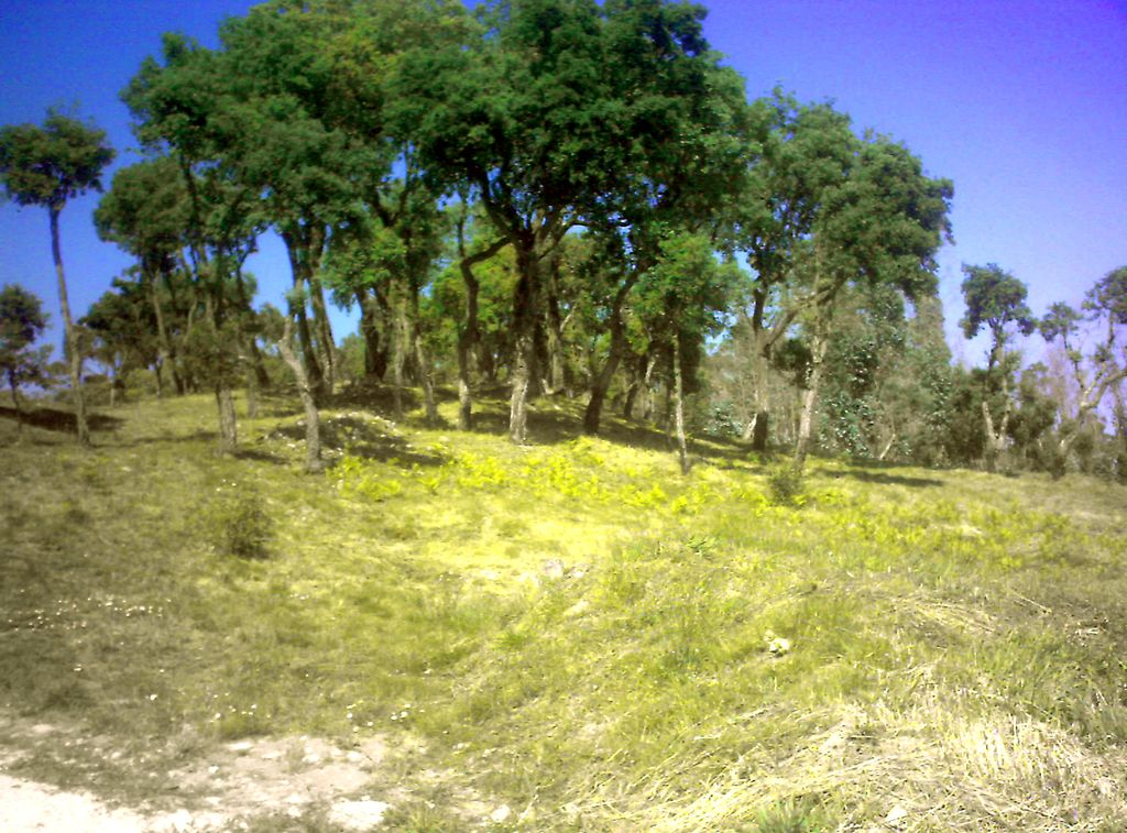
Cividade Hill (Portuguese: Monte da Cividade) or Cividade de Terroso Hill with an elevation of 153 metres (502 ft) is one of the two hills next to the city of Póvoa de Varzim in Portugal.
Cividade Hill's most notable feature is Cividade de Terroso in the hilltop. It is an ancient Castro culture town, hence the name of the hill that derives from Latin civitas (city). The walled city thrived since 900 or 800 BC, before being conquered and destroyed by the Roman Republic around 138 BC. Due to its urban protohistoric characteristics, the hilltop is considered to be an acropolis by archaeologists. The acropolis is, currently, owned by Póvoa de Varzim City Hall. In the slope there are villages and walled labyrinth-like farm-fields.
We use GPS information embedded into the photo when it is available.
3D mountains overlay
Adjust mountain panorama to perfectly match your photos because recorded by camera photo position might be imprecise.
Move tool
Rotate tool
Zoom
More customization
Choose which peak labels should make into the final photo and what photo title should be.
Next
Photo Location
Satellitte
Flat map
Relief map
Latitude
Longitude
Altitude
OR
Latitude
°'''
Longitude
°'''
Apply
Register Peak
Peak Name
Latitude
Longitude
Altitude
Register
Teleport
PeakVisor
This 3D model of Sagarmatha National Park in Nepal was made using the PeakVisor app topographic data. The mobile app features higher precision models worldwide, more topographic details, and works offline. Download PeakVisor maps today.
Download OBJ model
PeakVisor
The download should start shortly. If you find it useful please consider supporting the PeakVisor app.
PeakVisor for iOS and Android
Be a superhero of outdoor navigation with state-of-the-art 3D maps and mountain identification in the palm of your hand!