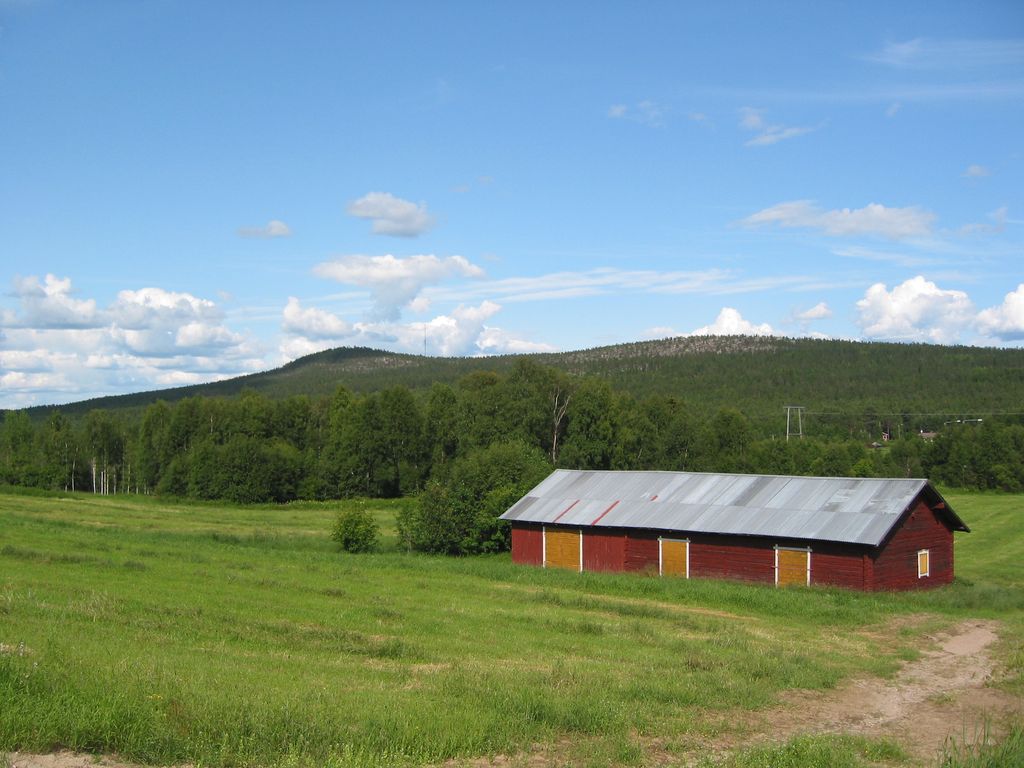
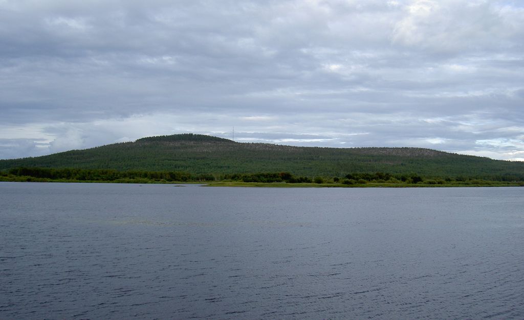
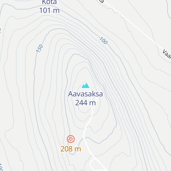
Aavasaksa is a sharp-edged hill in Ylitornio municipality in Finnish Lapland. It has an elevation of 242 metres (794 ft). Aavasaksa is famous for its sights both towards Finland and Sweden, and it is included in the list of the National landscapes of Finland. Decorative hunting cabin "Imperial Lodge" (Keisarinmaja) is one of the buildings on top of the hill. Its construction began with a visit by Alexander II of Russia in mind, but due to political instability it never happened. It's only open in the summer.
Due to Aavasaksa's distinctive elevation above other nearby hills, it was first used by Pierre Louis Maupertuis in the French Geodesic Mission (1736–1737), and later became part of the Struve Geodetic Arc. As a result of this, UNESCO named Aavasaksa a World Heritage Site, along with the 33 other sites used in the Struve Geodetic Arc.
Aavasaksa is often considered the southernmost point in Finland where the midnight sun is literally visible. The hill is surrounded by rivers running next to it: Torne River to the west and the smaller Tengeliö river to the east and north.
Asteroid 2678 Aavasaksa is named after the hill.
There's a trail called Aavasaksanvaarantie leading to the summit.
The nearest mountain hut is Kota located 675m/2 214ft NW of the summit.
By prominence Aavasaksa is
# 93 out of 1462 in Lapland # 99 out of 3767 in Finland
We use GPS information embedded into the photo when it is available.
3D mountains overlay
Adjust mountain panorama to perfectly match your photos because recorded by camera photo position might be imprecise.
Move tool
Rotate tool
Zoom
More customization
Choose which peak labels should make into the final photo and what photo title should be.
Next
Photo Location
Coordinates work here too — paste them as 69.72728, 20.61890 and press Enter
Satellitte
Flat map
Relief map
Latitude
Longitude
Altitude
OR
Latitude
°'''
Longitude
°'''
Apply
Register Peak
Peak Name
Latitude
Longitude
Altitude
Register
Teleport
PeakVisor
This 3D model of Sagarmatha National Park in Nepal was made using the PeakVisor app topographic data. The mobile app features higher precision models worldwide, more topographic details, and works offline. Download PeakVisor maps today.
Download OBJ model
PeakVisor
The download should start shortly. If you find it useful please consider supporting the PeakVisor app.
PeakVisor for iOS and Android
Be a superhero of outdoor navigation with state-of-the-art 3D maps and mountain identification in the palm of your hand!