Get PeakVisor App
Sign In
Search by GPS coordinates
- Latitude
- ° ' ''
- Longitude
- ° ' ''
- Units of Length

Yes
Cancel
❤ Wishlist ×
Choose
Delete
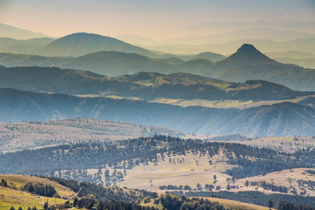
Zlatibor Nature Park, situated in Serbia, encompasses approximately 1,000 sq. km and stretches for 55 km (34.2 mi) in length and up to 20 km (12.4 mi) in width. It extends in a northwest-southeast direction and features 14 named peaks. The highest and most prominent is Tornik, reaching 1,496 m (4,908 ft).
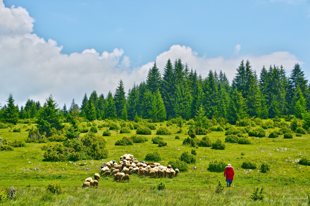
The Zlatibor Nature Park mountainous region is part of the Dinaric Alps and is renowned as a popular summer and winter resort destination, as well as a therapeutic climate retreat.
Located in the northern region of the Stari Vlah area, Zlatibor borders the provinces of Raska, Herzegovina, and Polimlje. It spans three municipalities of the Republic of Serbia: Čajetina, a portion of Uzice municipality in northern Zlatibor, and a smaller section of the Novi Varoš municipality in southern Zlatibor.
The Uvac and Veliki Rzav Rivers mark the southern and eastern boundaries of Zlatibor mountain, while its western border abuts Bosnia and Herzegovina. Neighboring villages to Zlatibor include Mokra Gora, Semegnjevo, and Jablanica.
The flatter terrains within Zlatibor are called "fields." The most prominent fields include the Branisko field near the village of Branezac and Sljivovica, Markovo in Mokra Gora, Rasnicko in Draglica, and Sjenicko in Sjeniste.
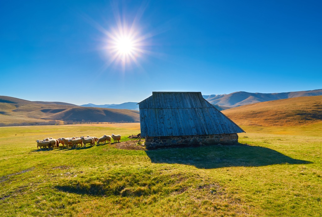
The prevailing climate is characterized as alpine and sub-alpine. Summers offer pleasant warmth during the day and cool nights, while winters are notably prolonged and relatively robust, with substantial rain and snow.
In Stublo and Semegnjevo, there are deposits of younger limestone, while the southeastern parts of Zlatibor are rich in significant quantities of Triassic limestone.
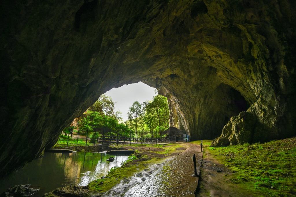
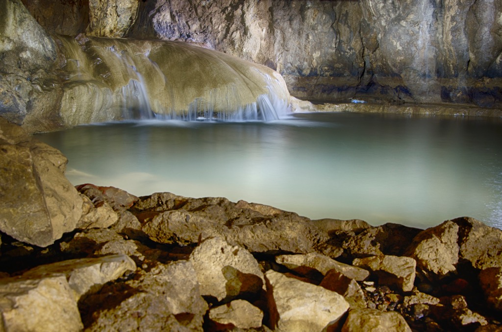
The Zlatibor region harbors numerous river sinkholes and caves, among which the largest are Stopica Cave, Rakovicka, and Mumlava. Zlatibor boasts 142 speleological features: 98 caves and 44 pits. Alluvial deposits in the streams are primarily composed of materials eroded from the banks and occasionally from limestone.
Zlatibor is abundant in magnesite, which is mined in several locations. Besides magnesite, chromite exists in Čajetina, Semegnjevo, and Sljivovica.
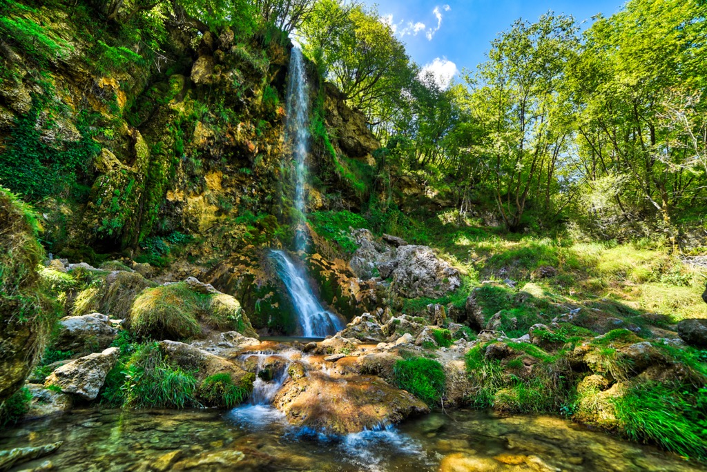
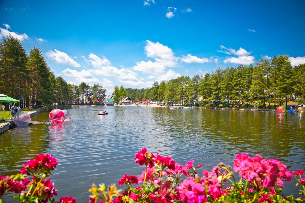
Zlatibor slopes predominantly towards the north and northwest, and all water eventually flows into the Black Sea—via the Drina, Đetinja, and Moravica Rivers. Zlatibor is renowned for its drinking water sources, some of which are considered the best in Serbia. Among the healthiest (and coldest) are the Hajducka Česma and Hajducica. There are no natural lakes in Zlatibor, but an artificial lake has been constructed for tourism purposes.
Due to its high altitude, substantial precipitation, and abundant sunshine hours annually, Zlatibor boasts a lush vegetation cover. The ecosystem comprises extensive grasslands, including meadows, slopes, and clearings, harboring up to 120 grass species, many of which possess medicinal properties.
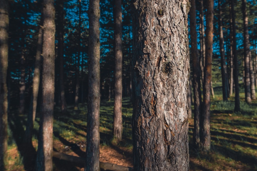
Below 600 m (1,969 ft), deciduous species such as beech, oak, birch, lime, and ash dominate, while conifers such as white and black pine, fir, and spruce prevail above this altitude. Historically, Zlatibor was heavily forested. During World War I, deforestation intensified due to intense logging by occupying forces. Additionally, some deforestation is attributed to a significant wildfire around 1800. Agriculture has also been a substantial factor in the suppression of reforestation, and much of the land remains grassy meadow.
Zlatibor's fauna is diverse, with wolves being particularly abundant, leading to the tradition of the famous Zlatibor wolf hunts. While bears are less common, they still exist in some areas. Wild boar, foxes, rabbits, martens, and various bird species, including eagles and vultures, also inhabit the region.
The rivers of Zlatibor, such as Rzav, Uvac, and Katusnica, teem with fish like trout, chub, gudgeon, and nase. Additionally, the forests of Zlatibor are rich in wild berries and edible mushrooms.
Zlatibor's settlement traces back to prehistoric times when Illyrians, specifically the Partini tribe, inhabited the area. With the arrival of the Romans, the Partini became Romanized and began worshipping the deity Jupiter Partinus. Slavs arrived in the seventh century after the collapse of the Roman Empire.
Throughout the Middle Ages, Zlatibor was part of various realms, including Raska, the Kingdom of Srem, Duklja, and Bosnia. In 1463, the Ottoman Empire conquered Zlatibor and incorporated it into its domain. During Ottoman rule, Zlatibor resisted Turkish authority thanks to the hajduks, a group of rebels who fought against the Ottomans.
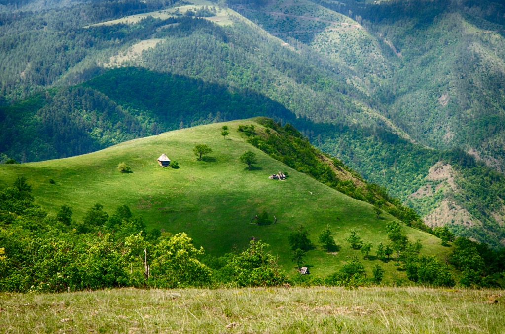
Following Serbia's liberation, only the northern parts of Zlatibor remained within its borders. Jovan Mićić, holding the title of Rujan Serdar (governor), controlled these regions and significantly shaped the area's history. Today, Zlatibor is part of Serbia, and the region in the southwest of the country is called the Zlatibor District.
The origin of the Zlatibor name remains unknown. Since the late Middle Ages, the mountain has been referred to as Rujno, named after the herb Rue, which is abundant in the region. The name Zlatibor emerged in the eighteenth century.
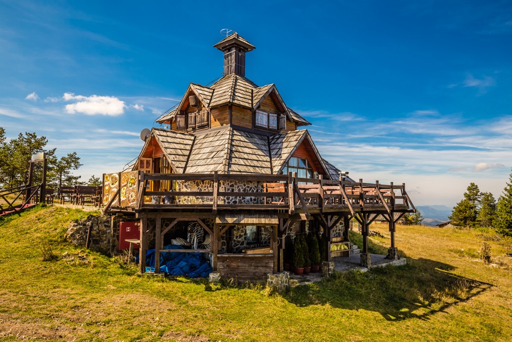
One theory suggests it originates from the golden hue of the white pine and yellow conifer that once covered the slopes. Another legend attributes the name to the rich pine forests, which were highly valued by settlers from Montenegro and Herzegovina, likening the worth of pine to gold. A third legend relates the name to the autumnal golden-yellow color of the mountain pastures.
In 1893, King Aleksandar Obrenović's visit marked the beginning of tourism in the region. The event was commemorated by renaming the Kulaševac water spring to "King's water."
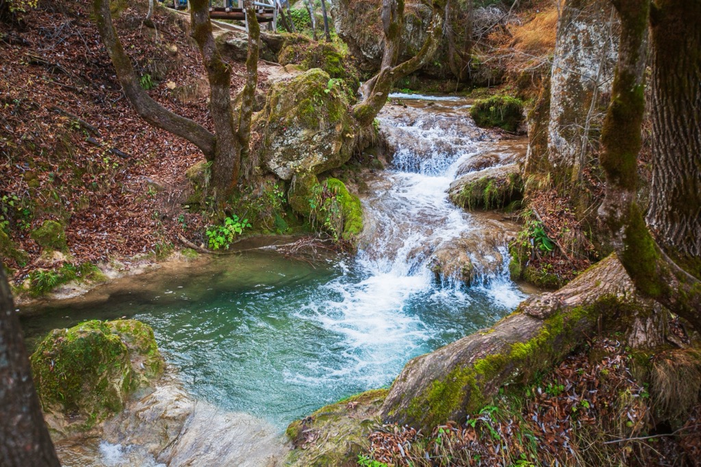
This path offers an easy walking experience designed for recreational hikers and beginners, and the route features minimal elevation changes, making it suitable for beginners. Starting near the Čigota Institute, the trail spans approximately 1.6 km (1 mi), taking about 25 minutes to complete.
Also known as Path Jedini Bor (the only pine tree), the Health Path is a fun hike spanning 7.3 km (4.5 mi). The route begins near the Čigota Institute and features zigzag climbs with forested paths for the return trip; the trip generally takes less than two hours.
The Čigota Path poses a challenge for experienced hikers and those in good physical condition, offering panoramic views of surrounding mountains from the top of Čigota. Covering 11.2 km (7 mi) and taking about three hours, the trail starts near the Čigota Institute and follows along well-trodden paths in the forest.
Čačak is a vibrant city located in central Serbia. With a population of around 70,000, it is a significant cultural and economic hub. In addition to the nearby mountainous regions, including Mokra Gora, the Morava River flows through the city and provides recreational value.
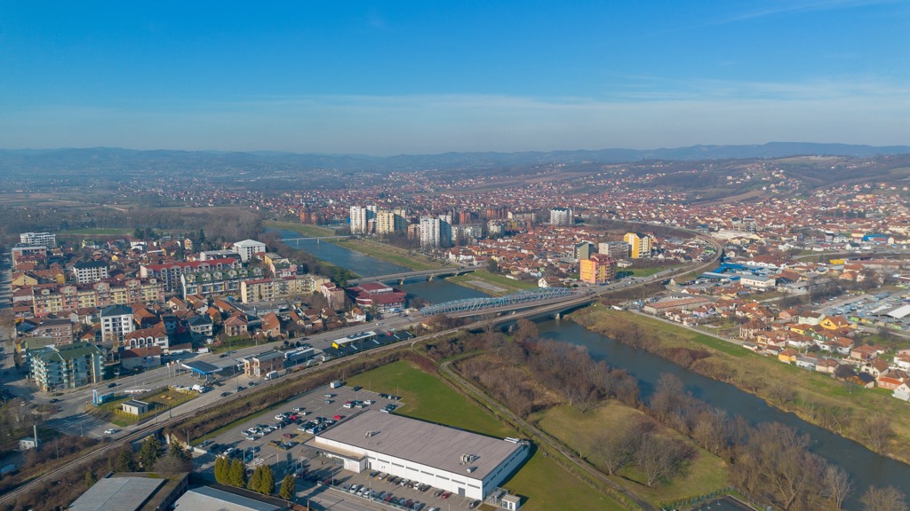
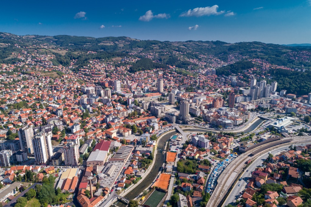
Užice, situated in western Serbia, is a charming city known for its historical significance. With a population of around 50,000, it is surrounded by picturesque mountains and the Đetinja River. Užice is an industrial hub as well as a gateway to the scenic Zlatibor mountain region.
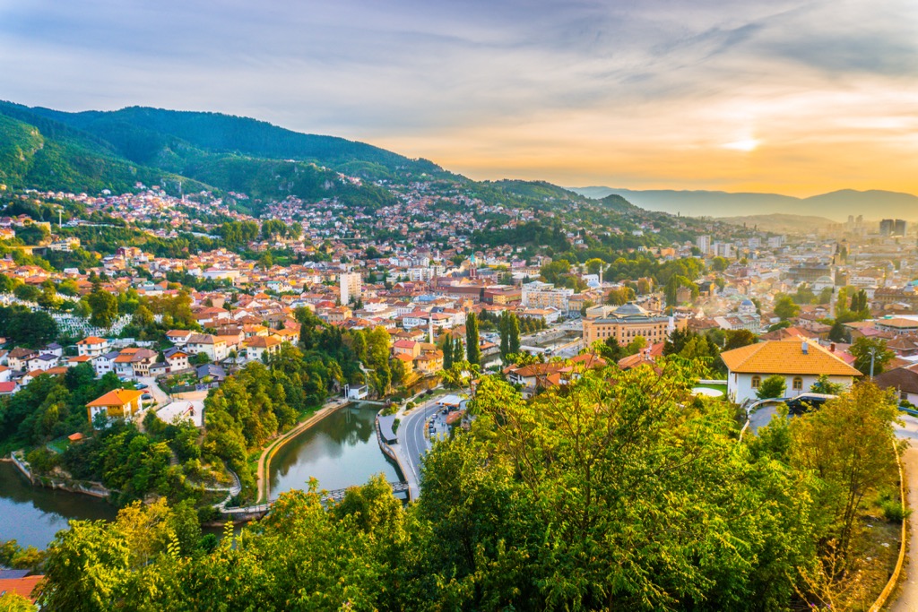
Sarajevo, the capital of Bosnia and Herzegovina, is a unique blend of Eastern and Western influences. Home to around 400,000 people, it is known for hosting the 1984 Winter Olympics and enduring the Bosnian War from 1992 to 1995.
Explore Zlatibor with the PeakVisor 3D Map and identify its summits.


