
Scan the QR code and open PeakVisor on your phone
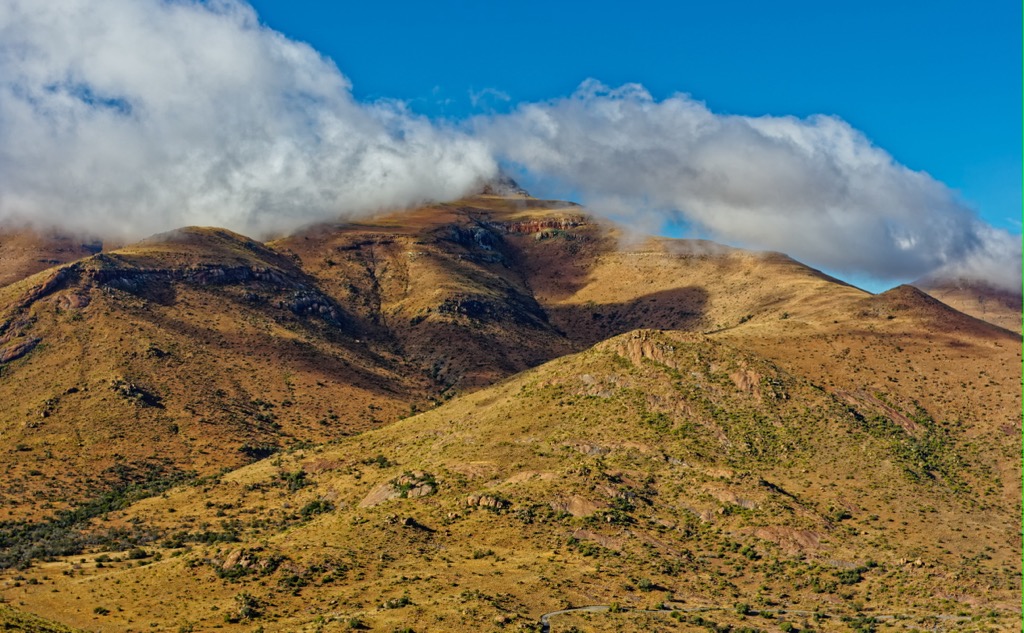
Tsolwana Nature Reserve is situated in the Eastern Cape province of South Africa and is known for its diverse ecosystems and rich biodiversity. The one named mountain in Tsolwana Nature Reserve is Spitskop, measuring 1,741 meters (5,712ft).
The Tsolwana Nature Reserve spans an impressive 8,500 ha (21,004 ac) and is situated on the edge of the Winterberg Mountain range. It lies approximately 60 km (37 mi) west of Queenstown and about 30 km (19 mi) southeast of Tarkastad.
The name Tsolwana comes from the Xhosa word for spike, inspired by the distinctive cone-shaped hill called Spitskop within the reserve.
The elevation ranges from 1,350 meters (4,429 ft) in the lowland regions to 1,741 meters (5,712 ft) on the mountain. Vegetation primarily consists of grassy plains and acacia thornveld.
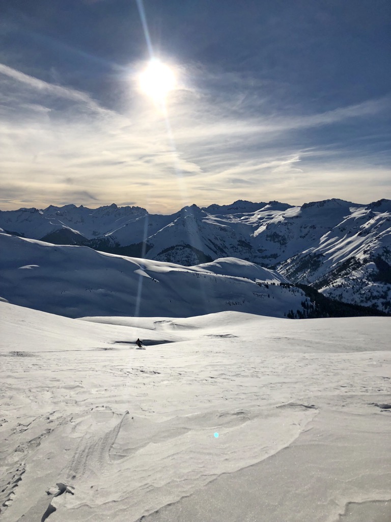
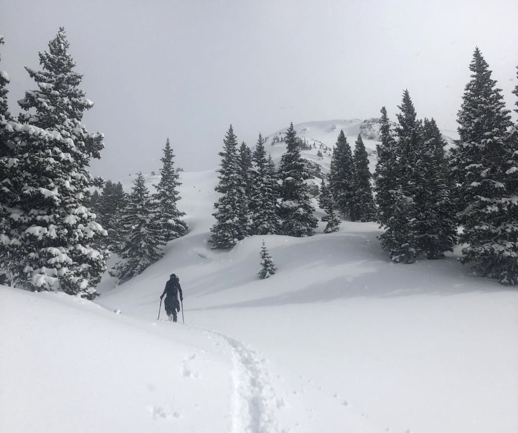
Tsolwana marks the transition into the Karoo region. The climate can be extreme, with varying temperatures and unpredictable heavy summer rainstorms, sometimes accompanied by hail. Rainfall generally peaks between January and March, though storms can occur anytime. Winters bring frequent snowfall, while cold, wet southerly winds can impact wildlife, especially the plains antelope species.
The reserve experiences summer rainfall, often in heavy storms throughout the year. Seasonal temperatures vary significantly, with daytime highs reaching 38°C (100°F) in summer and frost occurring in winter. Expect strong northwesterly winds from July to September, while frequent southwesterly winds bring rain during summer.
The Winterberg Mountain Range exhibits a geological composition predominantly composed of shales and sandstones, situated within the Beaufort Series of the broader Karoo System. Dolerite intrusions in the Winterberg region enhance the geological complexity of the area.
The predominant vegetation of the Tsolwana Nature Reserve comprises expansive grassy plains. These open grasslands are critical as essential grazing areas for a diverse range of herbivores within the reserve. Acacia thornveld, marked by thorny shrubs and trees, complements the grassy plains.
The reserve hosts diverse wildlife, including the endangered white rhinoceros, giraffes, common eland, and Cape mountain zebra. Noteworthy bird species include the ostrich, blue crane, and Cape vulture.

Tsolwana Nature Reserve was officially established in 1979 as part of government-initiated stock reduction measures in response to drought conditions in the late 1960s. While these measures aimed to prevent soil erosion, the reduced livestock population led to an increase in indigenous animal species, gradually transforming the area into a conservation zone. In 2005, the Eastern Cape Parks Board assumed management of Tsolwana Nature Reserve.
The Tsolwana Trail spans 22 km (13.6 mi) and typically requires around two days to complete. It is classified as moderately difficult. Hikers will likely see white rhinos, eland, gemsbok, and black wildebeest, as well as mountain views of Spitskop, Thibet Park New, and Vrischgewaagd. Along the trail, hikers encounter cultural sites, including San caves adorned with ancient paintings. The trail offers both guided and self-guided options, with routes following game tracks and gravel roads.
The Bushman Trail within the Commando Drift Nature Reserve is a well-known hiking route 100 km (60 mi) west of the Tsolwana Nature Reserve. Starting at the Reserve’s rest camp, this 6 km (3.7 mi) trail winds along the shores of the Kommandodrif Dam before ascending Palingkloof via a jeep track.
During the hike, you may spot a variety of wildlife, including waterfowl and waders. The views overlook Rooiberg, Spitskop, and the Kommandodrif Dam, and the area is also popular for mountain biking.
The Impofu Hiking Trail in Mountain Zebra National Park is 140 km (87 mi) west of Tsolwana Nature Reserve. The trail spans approximately 25 km (15.5 mi) and typically takes three days. It winds through diverse landscapes, including grasslands, mountain shrublands, and riverine thickets. Hikers can spot wildlife such as giraffes, zebras, and various antelope species along the way. The trail's highlight is Bakenkop, the park’s highest peak, which provides panoramic views of the park.
The Katberg Hiking Trail is a circular 40 km (25 mi) loop in the Winterberg Range in the Eastern Cape. This trail winds through a scenic landscape, showcasing rivers, waterfalls, grassland peaks, kloofs, indigenous forests, and plantations. The Katberg Pass, a high-elevation pass with switchbacks, is the focal point for several trails.
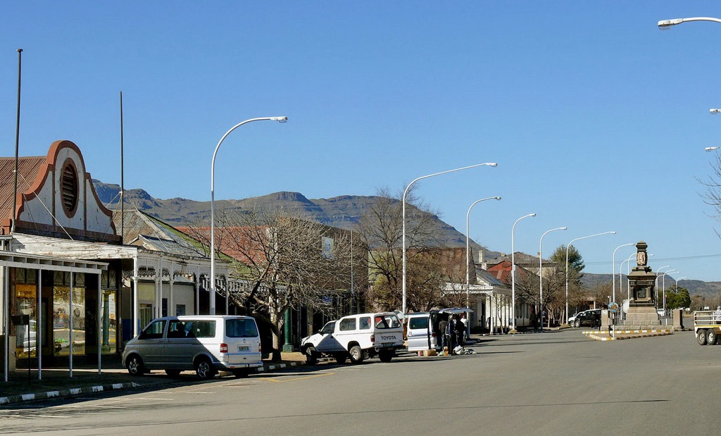
Tarkastad is a small town in the Eastern Cape province of South Africa. Located in the Winterberg Mountains, it’s known for its picturesque surroundings and outdoor recreational opportunities.
The town appeals to nature enthusiasts for its access to the adjacent mountains, valleys, and hiking trails. The presence of dams and rivers around Tarkastad makes it a favored destination for angling and fishing enthusiasts, particularly for trout fishing. Visitors can venture to the Silverbrook Farm MTB Trail or the Bamboeshoek 4x4 Trail for more outdoor adventures, located 55 km (34 mi) and 57 km (35 mi) away, respectively.
Queenstown, officially known as Komani, is a town in the Eastern Cape Province of South Africa. It is enveloped by the Amathole Mountain Range and offers an array of hiking trails, including the Madeira Mountain Trail and the Mlambonja Pass.The Lawrence de Lange Game Reserve, located just outside Queenstown, offers opportunities to encounter wildlife, including antelope, zebra, and various bird species. Finally, for water-based activities, the Bongolo Dam is host to recreational boating and fishing.


