Scan the QR code and open PeakVisor on your phone
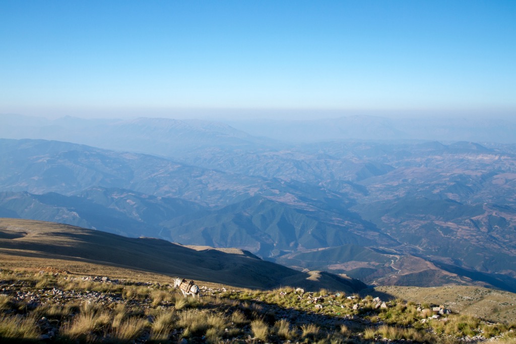
Albania’s most scenic mountain lies in the country’s south, with views reaching Northern Macedonia. Locals say that you can see it from any mountain in the country. There are 11 named peaks in Tomorri Mountain National Park; the highest and most prominent is Maja e Partizanit (2,416 m/ 7,926 ft).
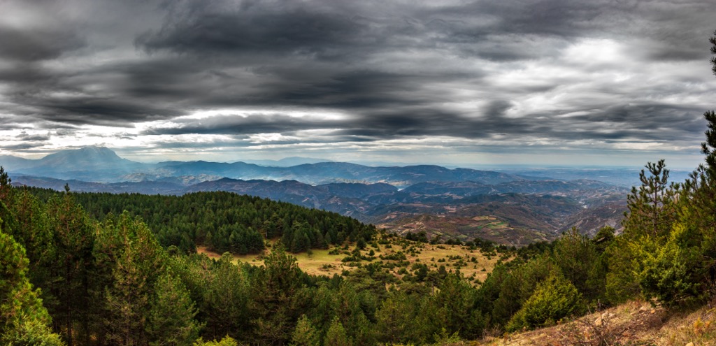
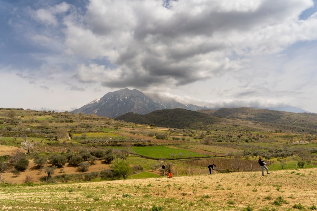
To the east of Berat, 20-30 km (12-18 mi) away, stands Tomorr Mountain and Tomorri National Park, also known as Parku Kombëtar i Malit të Tomorrit. The park covers an area of 26,000 ha (64,247 ar), so there's plenty of room for endangered species to roam freely.
The Tomorri National Park was established in 1956 and expanded in 2019. It has been recognized as an environmentally significant, intact, and relatively undisturbed ecosystem; it’s a piece of the nation's natural heritage and a critical area for biodiversity and ecosystem integrity.
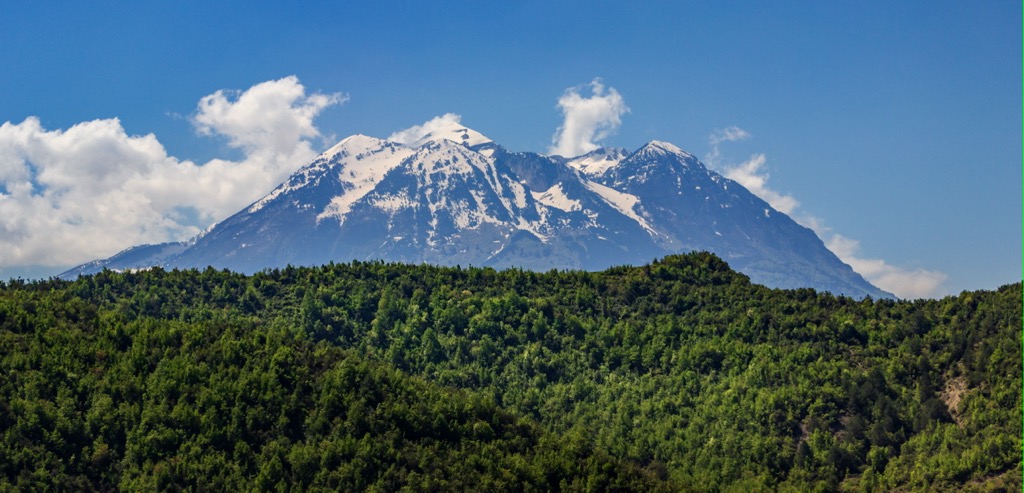
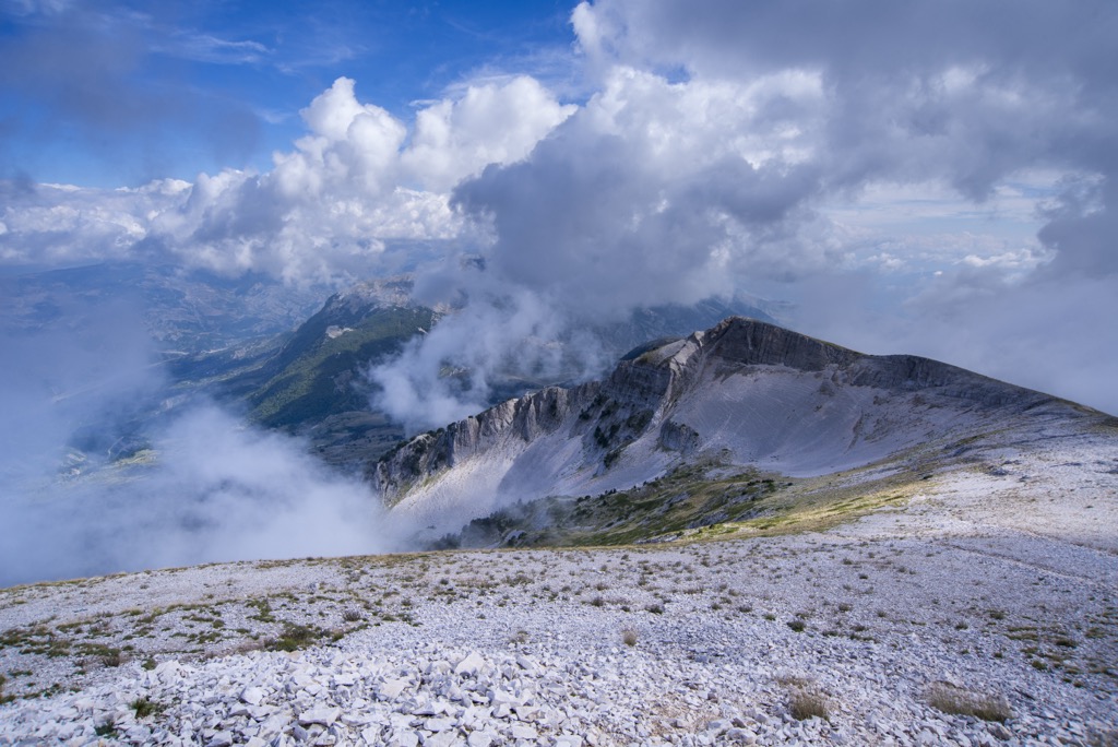
Maja e Partizanit (2,416 m/ 7,926 ft) is the park's centerpiece and the third-highest mountain in Albania. It’s visible in many cities nationwide, and visitors can reach its peak by foot or car. The mountain is also called the Mount Olympus of Albania. For much of the year, snow encapsulates this towering summit.
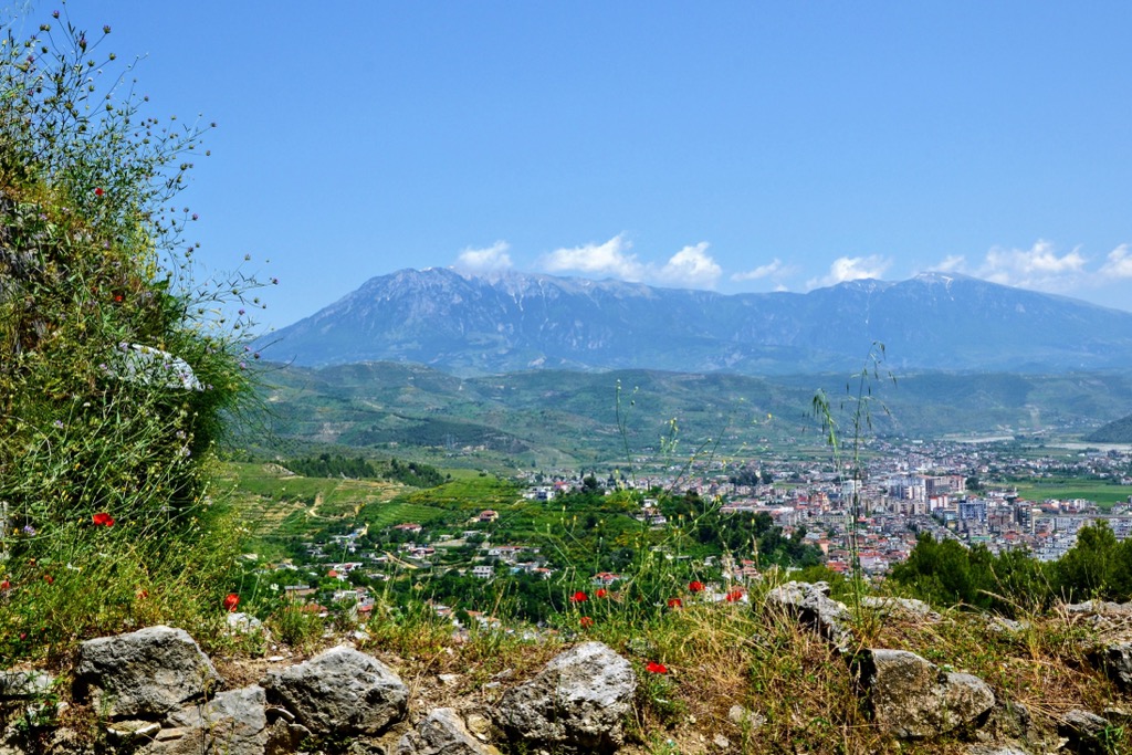
The route heading up is marvelous, passing traditional Albanian olive groves and pine forests until reaching an exposed area with rock formations. Seeing this landscape from a distance gives the impression of a natural fortress; indeed, the park is full of karst formations, caves, and creeks.
The natural monuments include Kapinova Cave, Katafiq Greenhouse, Tomorri Glacial Cirques, and the Ujanik Glacial Moraines.

Like many mountainous places in this part of Europe, Tomorri Mountain National Park is known for its limestone rocks which formed the karst phenomenon through the years.
Karst refers to the topography, including various caverns and sinkholes, created by the dissolution of carbonate rocks. Karst is common and exists in many different areas around the world.
The range is an excellent example of the relationship between limestone and karst. Limestone is a sedimentary rock often formed from accumulated skeletons of marine organisms, such as corals and shellfish. Karst areas form in the presence of soluble carbonate rocks such as limestone or dolomite, usually in regions with high rainfall. Water causes the calcium carbonate to dissolve, leaving behind an easily erodable porous rock.
From a distance, the range’s karst formations look like a giant natural fortress, with many fascinating caves and creeks to explore.
These are the park’s highest peaks:
The varied geology and elevation levels have produced a unique diversity of flora and fauna. The Tomorri National Park is home to forests with a rich biodiversity of deciduous and coniferous trees and wildflowers.
The Pindus Mountains mixed forests terrestrial ecoregion includes the mountain ranges of the Pindus Mountains that cross Albania, Greece, and Northern Macedonia. The region is one of the most diverse in Europe, with over 3,000 plant species.
The park’s tree species include beech, oak, hazel, juniper, and ash. Six endemic plant species are found only in Mount Tomorr, including Astragalus Autroni. Beech forests mostly grow at 1,000-1,200 m (3,286 ft - 3,937 ft), while mixed forests with oaks and pine begin around 1,600 m (5,249 ft).
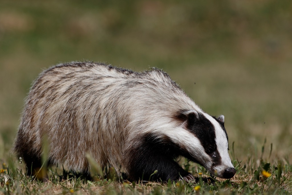
The park’s fauna includes brown bear, wolf, wild goat, wild boar, wild cat, rabbit, fox, weasel, badger, squirrel, eagle, and several hawk species. Bears and wolves are reclusive, residing only in the most remote regions of the park to avoid human contact. Wild boars and rabbits tend to congregate near agricultural centers.
Bird species include several eagles, raptors, and woodpeckers. Wild pigeons and wild turkeys also make their homes here, but their populations have diminished recently. You'll also find thrushes, partridges, and others among the bird life.
Albanian folklore brings us the story of Tomorr. According to legend, Tomorr was a giant who wanted to fight another giant, Shpirag, for the daughter of spirits and animals. The two giants killed each other, and the young woman cried so much she drowned in her own tears, creating the Osum River.
In fact, the mountain is the subject of many folk stories and is sacred in several religions. Catholics, Muslims, and Orthodox Christians alike visit the mountain while establishing rituals at its peak. The Osum Canyon, Osum River, and Tomorr Massif are the three prominent features of the park; the latter is important to Christians and Bekatshis.
The tomb of Abaz Aliu, half-brother of Mohammed (Tyrba e Kulmakut), is in the Tomorr Mountains at approximately 1,200 m (3,937 ft). Each year, thousands of pilgrims from all over the Bektashi Order come to the Tyrba for a week around their most important holiday. The Bektashi Order is an ancient Islamic Sufi mystic order based primarily in Albania.
The local Bektashi also organize a large religious festival each August involving both Bektashi and Christian worshippers. It represents one of the few syncretistic events in which other religious beliefs can merge with the traditional Bektashi tribe.

The Sotira Waterfalls are a must-visit location near Gramsh. Follow the signs to Sotira village after the Devoll River Bridge. The roads will be unpaved from here on out. With a 4X4 vehicle, you can easily reach Sotira village.
If you don’t have one, leave the car some distance from Kushova village (4 km or 2.4 mi away) and walk until you reach Sotira. Continue on foot for another 5 km (3 mi) until reaching the waterfalls.
Another strenuous hike from Sotira is towards Maja e Partizanit, the park’s highest peak. Go through Sotira, hike to Dardhe, and head towards the summit, seeking out the obvious trail. The hike will be challenging, with an elevation gain of more than 1,500 m or 5,000 ft.
Mount Tomorr (2,384 m/ 7,821 ft) features a trail up to the southern summit. Like the region’s other trails, it is demanding but rewarding in the end. The path weaves back and forth across steep gravelly slopes and over rock faces. There's a Bektashi tekke at the summit and numerous religious sites nearby. There’s also road access to the summit for those looking for an easier way up.
These are the most significant cities near Tomorr National Park:
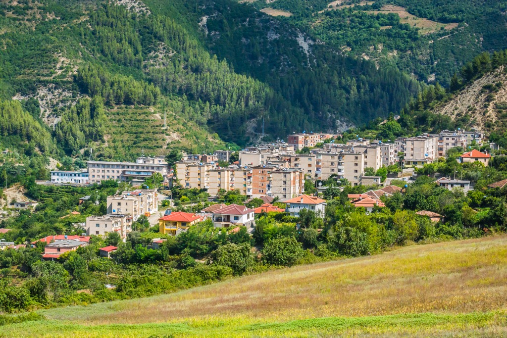
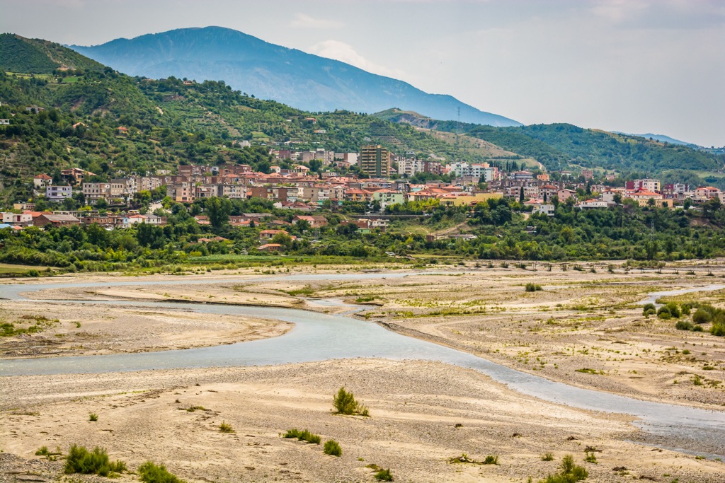
Gramsh is a small town in the southeastern part of Albania. The town has a population of about 24,000 and is one of the region's most important centers for trade and commerce.
Ottoman Turks founded the town in 1878 and named it after a Turkish general who had fought against Russia during the Russo-Turkish War (1877–1878). Gramsh became an important center for trade because it was on one of the main roads that connected Tirana with Greece.
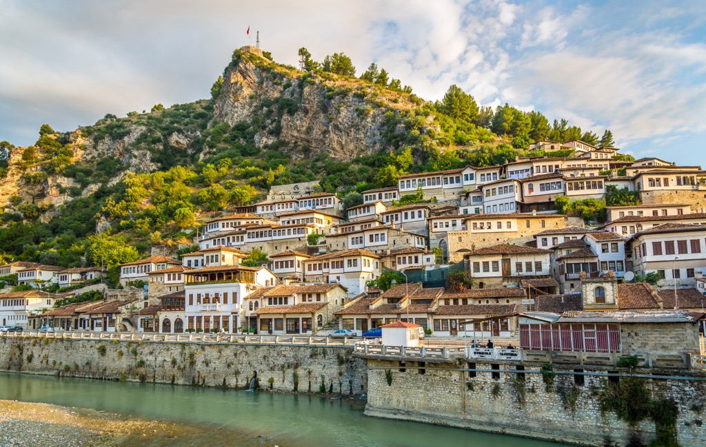
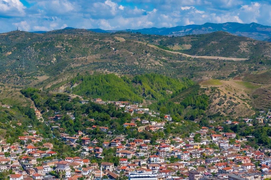
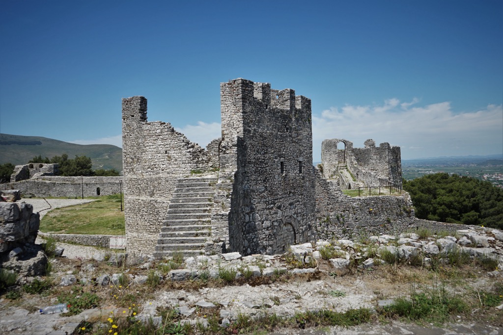
Berat is a town in the south of Albania and one of Europe's most well-preserved medieval towns. The old town is on a hilltop and has been declared a UNESCO World Heritage Site.
The old town of Berat was built on top of an ancient Illyrian settlement, which the Romans later occupied. The city was first mentioned in documents from 1332 when Serbian ruler Stefan Dušan captured it. In 1444, Berat became part of the Ottoman Empire and remained under Turkish rule for almost 400 years until 1912, when it became part of Albania.