Get PeakVisor App
Sign In
Search by GPS coordinates
- Latitude
- ° ' ''
- Longitude
- ° ' ''
- Units of Length

Yes
Cancel
❤ Wishlist ×
Choose
Delete
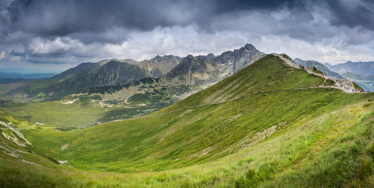
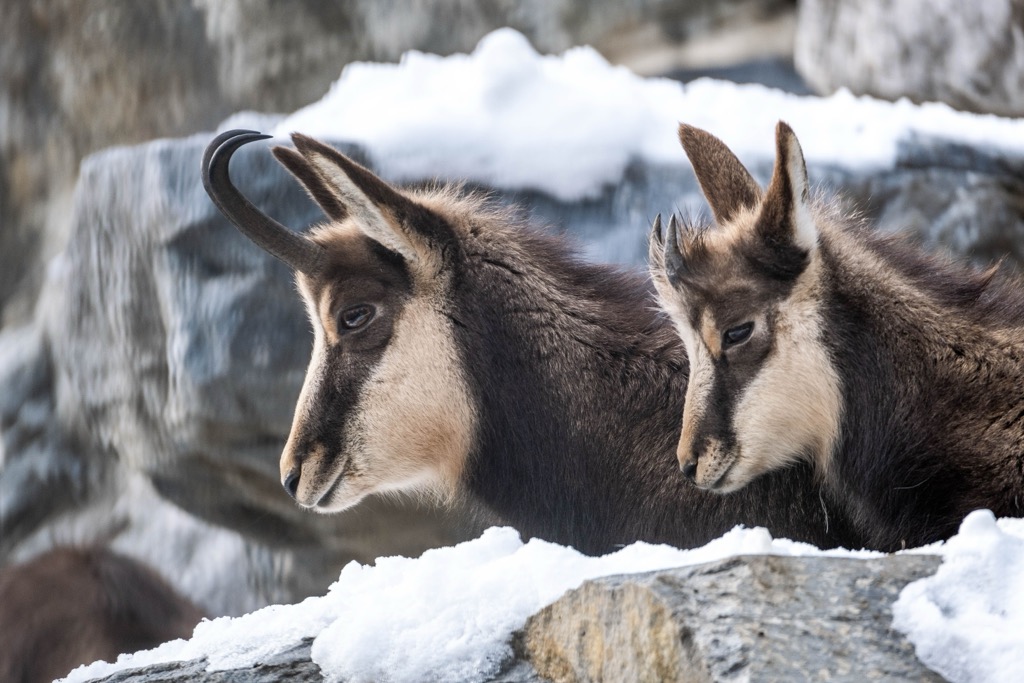
Tichá Dolina, Dolina Cicha, or "Silent Valley," is a serene and picturesque glacial valley in the Tatra Mountains of northern Slovakia, within the boundaries of the High Tatras National Park. Stretching approximately 17 kilometers (11 mi), Tichá Dolina is one of the region’s longest valleys. It’s characterized by dense forests, alpine meadows, and mountain streams, creating a habitat for some of Slovakia's rarest species, like the Tatra chamois and brown bear. The valley's tranquility and natural splendor make it a hidden gem in the High Tatras. There are 47 named mountains in Tichá Dolina; the highest and the most prominent is Svinica / Świnica (2,301 m / 7,549 ft).

The Silent Valley stretches over 17 km (10.6 mi) in the West Tatras, bordered by the Liptovské Tatras to the west and the Liptovské Kopy to the east. On its northern and northwestern sides lies the Polish border, marked by the picturesque limestone ridge of the Red Hills.
Tichá Dolina was declared a national nature reserve in 1991. Spanning 221 ha (546.3 acres), it's one of the most important conservation sites in the Tatras. Glacial activity during the last ice age shaped the landscape, leaving behind terraces and glacial lakes like Vyšné Pleso and Valentko Pliesko.
While often referred to as part of the High Tatras, Tichá Dolina is primarily located within the Western Tatras, with its central section between Liptovský Kopa and Liptovský Tatras.

A diverse mix of rock types characterizes the geology of the Western Tatras. Unlike the predominantly granitic High Tatras, the Western Tatras are composed of a combination of crystalline rocks, such as granite and schist, alongside sedimentary rocks like limestone and dolomite. The sedimentary layers contribute to the rounded peaks and softer contours, as the sedimentary rocks are more prone to erosion than the harder granites.
A fascinating geological feature of Ticha Valley is the discovery of footprints belonging to a sizeable three-toed creature from the Pratatier period. The tracks were found by Slovak geologists in 1995 on a layer of Mesozoic rock. Upon examination, experts confirmed that these dinosaur footprints were preserved on soft mud's surface around 195 million years ago.
The dinosaur tracks, Coelurosauriichnus tatricus, were found in the Upper Triassic sediments of Červený Vrchy. Geologists believe that 195 million years ago, the area that is now Ticha Valley was a flat landscape with tropical vegetation.
Over time, the sandy mud dried and hardened, eventually turning into sandstone. The Tatra Mountains, as we know them today, began to form around 15 to 20 million years ago during the Tertiary period.
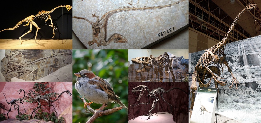
Tichá Dolina is one of the most important conservation areas in the Tatras. The valley features the first findings of Mesozoic fossils in Slovakia, high-altitude karst formations, and the headwaters of the Bela River, a UNESCO-recognized watershed. The flora comprises several endemic species (unique species found only in this area).
The habitat is mainly spruce forest. These forests are primarily healthy, tertiary (old-growth) ecosystems with plenty of decomposing dead wood and trees of varying ages. Spruce is the dominant tree species, though limba and larch are also present in some areas.
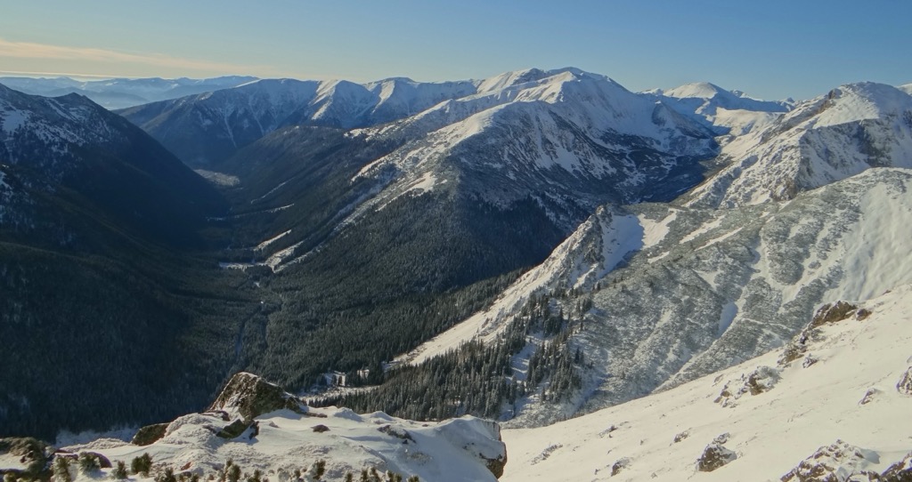
The Tatras' diverse geology, relief, soil, and climate have given rise to unique mountain and alpine flora and fauna. There are five vegetation zones - submontane, mountain, subalpine, alpine, and nival. The animal kingdom also shows similar diversity. Many species are rare relics from ancient times, with some dating back to the Tertiary or Quaternary glaciations.
These ancient species include plants like Eightpetal mountain avens (Dryas octopetala L.) and animals like the Northern birch mouse (Sicista betulina). Tatra endemics include subspecies of chamois and marmot.
In the past, Tíchá Dolina was used for shepherding, logging, and mining, although mining activity was mainly in Špana and Tomanovská Dolina. Tree removal eventually resulted in historic avalanches in the valley, with slide paths reaching the bottom.
The valley covers a large area and has long been a link between Liptov and Podhalí in Poland. During World War II, Polish couriers from the Armia Krajoje used the valley, and it provided shelter for refugees and partisan groups. Several people died here during the war, including the crew of a German Junkers Ju 52 plane that crashed on Kňazová slopes on June 30, 1944.
The area of Ticha Dolina is one of the most preserved areas in Slovakia. Since 1954, it's been part of the strict Podbanské Reserve, with the national nature reserve declared in 1991.
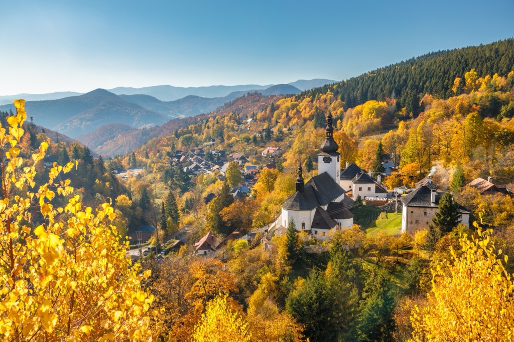
Svinica, located on the border between Slovakia and Poland, marks the westernmost point of the Tatras. Rising 2,301 m (7,549 ft), it's a popular destination for tourists, especially those from Poland, due to its proximity. Accessible from Tichá Valley, Svinica offers impressive views and challenging trails.
Follow alongside the yellow hiking trail until reaching the "Liptovsky Kosar" signpost. From there, it's a two-hour hike up to the main ridge of the Western Tatras, where the ascent to Svinica begins.
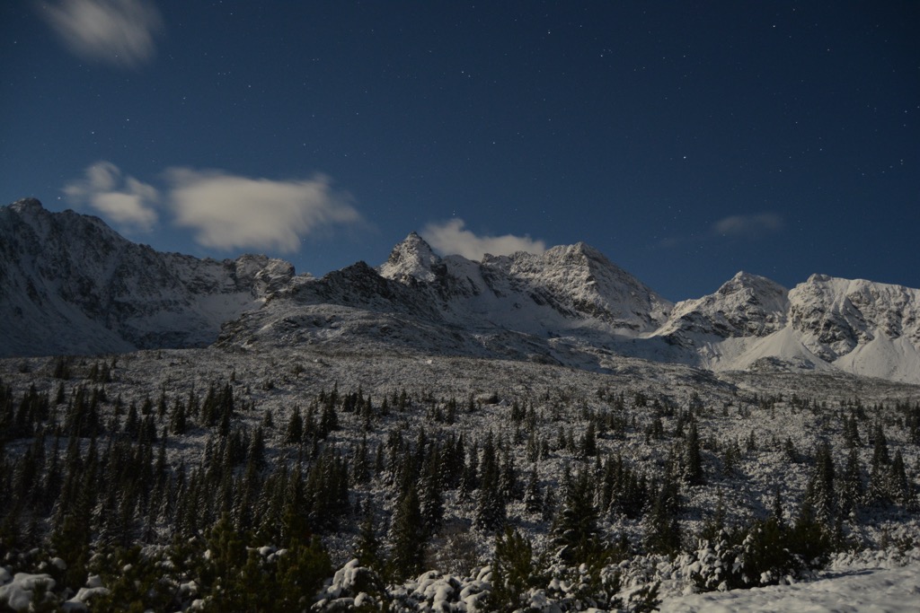
Tichá Dolina offers fantastic hiking and cycling opportunities. Smooth asphalt roads with gentle inclines make it perfect for cycling excursions.
Begin your journey from Podbanské, where a tourist path leads you through the heart of Tichá Dolina to the Závory Saddle, marking the end of this picturesque valley. Enjoy a splendid view of Temnosmrečianske Mountain Lakes and the majestic Vajanský Waterfall from the saddle.
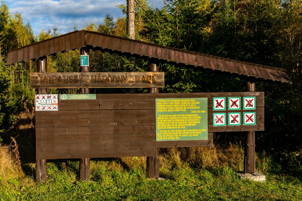
You can reach the Lower Temnosmrečianske Lake by passing the starting point Podbanské and the tourist crossroads Tri Studničky. The hike starts easy but becomes slightly more challenging as you go.
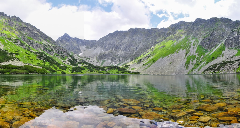
Tall cliffs like Kôprovský Peak, Čubrina, and Hrubý Peak surround the lake. It's fed by the Temnosmrečiansky Creek, which flows through the entire valley.
Žilina is one of Slovakia's vibrant cities in the country's northwest, with a population of around 80,000. Visitors can explore its medieval core, with charming cobblestone streets and historic buildings.
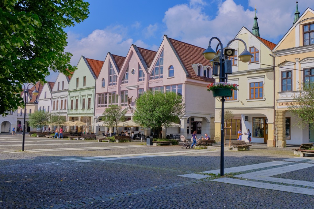
Prešov, situated in eastern Slovakia, has a population of around 90,000 and serves as a regional hub for commerce, education, and culture. The city's well-preserved historic center features stunning churches, elegant palaces, and colorful townhouses.
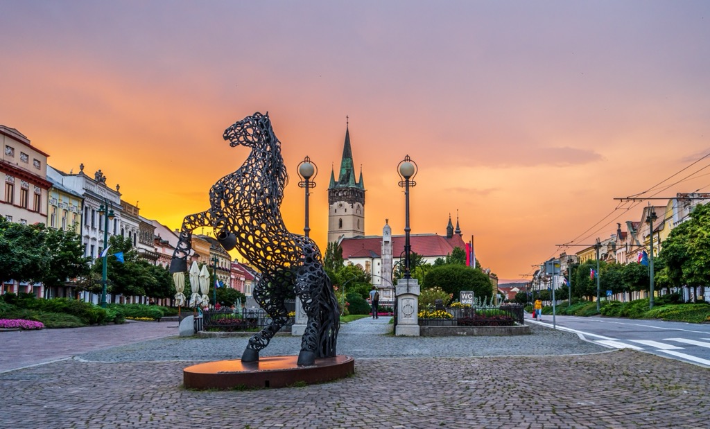
Poprad is a picturesque town in the foothills of the High Tatras, in northern Slovakia. With a population of around 50,000, it serves as a gateway to the area's stunning natural beauty. Outdoor enthusiasts can hike and ski, among a variety of other sports.
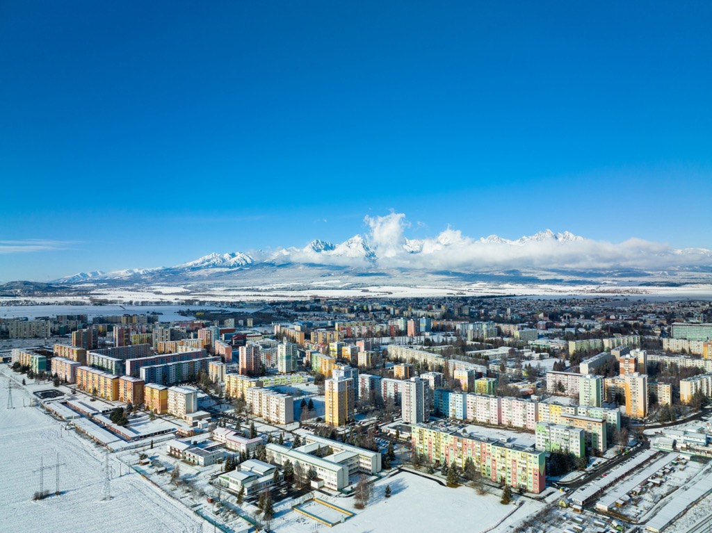
Explore Tichá dolina with the PeakVisor 3D Map and identify its summits.

