Scan the QR code and open PeakVisor on your phone
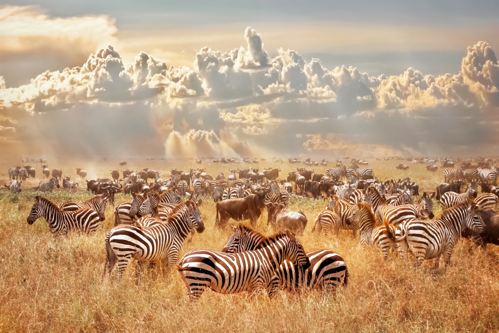
Serengeti National Park is one of the main among the 22 national parks of Tanzania, a country in eastern Africa, which is located in the north of its territory. The main feature of the park is the huge plains ecoregion with the same name, formed mostly by the long and wide Mara River. The vast plains are home and at the same time a place of the largest migration of animals in this part of Africa. These are the same herds of antelope, zebras and buffalo from the hundreds of thousands of animals shown on TV nature shows. There are 24 named mountains in Serengeti National Park. The highest and the most prominent mountain is Lobo (2,152 m / 7,060 ft).