Scan the QR code and open PeakVisor on your phone
The Managed Nature Reserve Karaburun boasts beautiful coves, beaches, and rugged, rocky landscapes with numerous mountain peaks, all within three seaport parks. There are 43 named mountains in Rezervati Natyror i Menaxhuar "Karaburun." Maja Shendëlliut (1,500 m / 4,921 ft) is the highest mountain, and Maja Korës (835 m / 2,739 ft) is the most prominent.
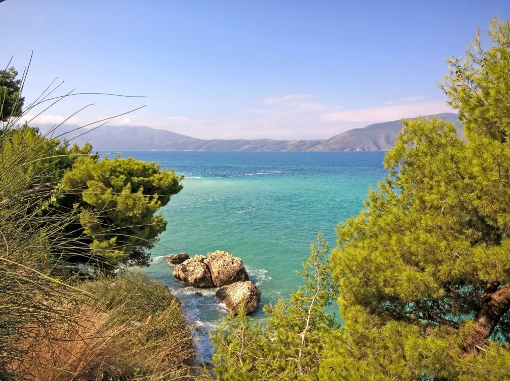
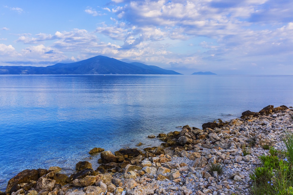
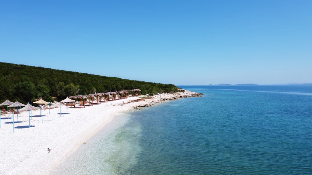
The Karaburun Peninsula, known as Gadishulli i Karaburunit in Albanian, is a Mediterranean Sea peninsula in Southeastern Europe. The Adriatic Sea almost completely surrounds it to the north, and the Ionian Sea lies to its south. The peninsula is the largest in Albania, spanning nearly 16 km (10 mi) and showcasing rugged, untamed beauty. With no permanent population, it is a wild and natural place compared to the busier beaches along the Albanian coast.
The Rezervati Natyror i Menaxhuar "Karaburun" or Managed Nature Reserve Karaburun protects the mainland peninsula. Directly adjacent lies the Karaburun Sazan Marine Park, protecting the sea and beaches around the nature reserve, while Llogara National Park is to the southeast.
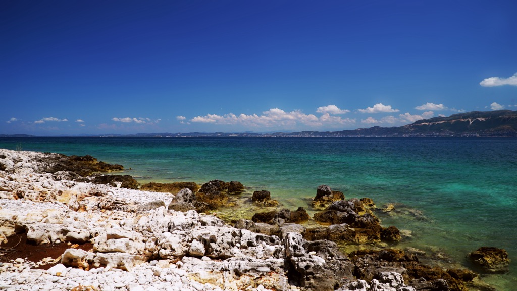
Karaburun Nature Reserve’s territory is sometimes called the Ceraunian Peninsula due to the mountain range's name. The Karaburun Peninsula is named after the Turkish term for "black cape." The coastal area consists mainly of rocky terrain, with notable calcareous limestone cliffs covered by typical Mediterranean vegetation. Pocket beaches of pebbles and sand mark the coastline.
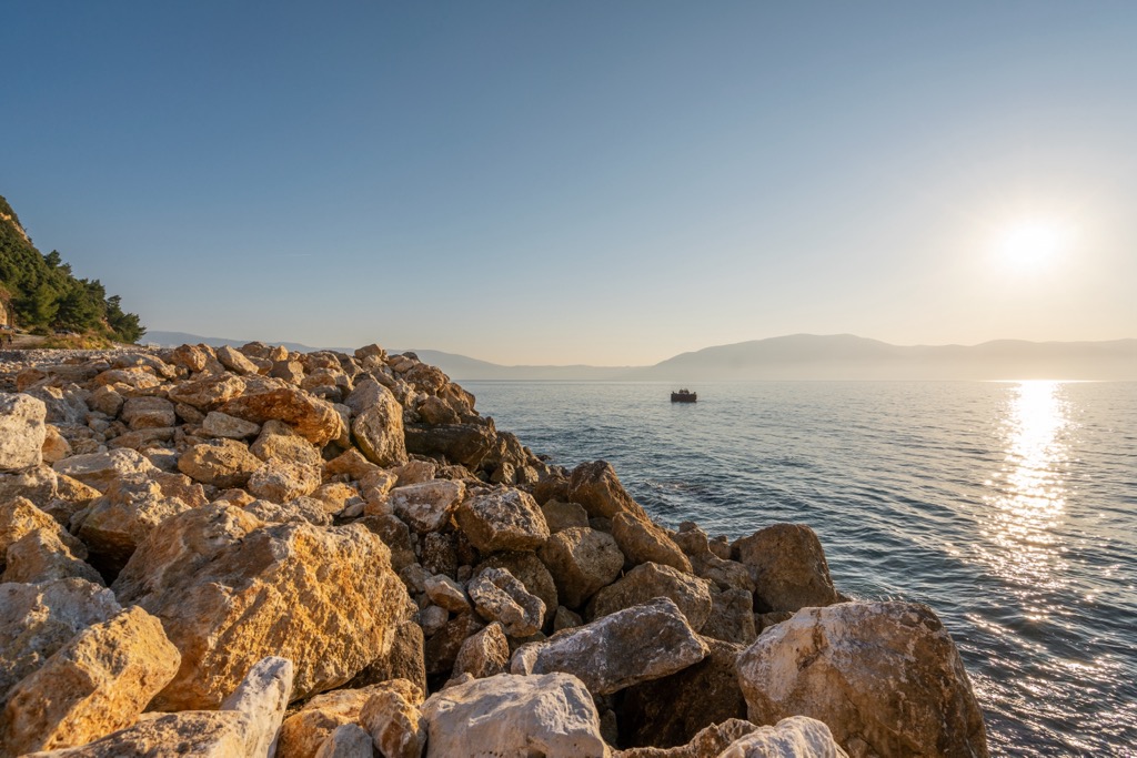
There are two ways to reach the peninsula; by sea, the shortest and preferred method, or by land, hiking from Orikum and passing through the Pashaliman Base.
The karst plateau of Ravenna, with heights ranging from 200 to 300 m (656 to 984 ft), shares the peninsula with the park.
Adjacent to Karaburun is Sazan Island, the largest island in Albania, covering an area of 5.5 sq. km (3.4 sq. mi). It is separated from Karaburun by the 4.8-km-wide (2.9 mi) Strait of Mezokanali.
Formed during the Cretaceous and Paleogene periods of the Mesozoic era, the mountain range of the Karaburun Peninsula features a northwest-southeast ridge with distinct peaks along its irregular structure.
Geologically, the peninsula belongs to the Ceraunian Mountains, which rise steeply along the Albanian Ionian Sea Coast. These mountains divide into two chains running towards the Llogara Pass. The mountains span approximately 24 km (15 mi) in length and are 4-7 km (2.5 - 4) wide.
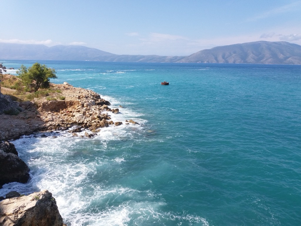
This varied geological composition contributes to the widespread presence of karst, rendering the peninsula uninhabitable due to the scarcity of drinking water - freshwater simply dissipates through the porous limestone. The western section displays a rugged relief adorned with sandy and rocky beaches, sea caves, cliffs, and several bays such as the Bay of Skaloma, Bay of Arushë, Bay of Dafinë, and the Bay of Grama.
The peninsula’s 20 caves include the Duke Gjon's, Pigeon, and Inglis Caves. However, the Haxhi Ali cave is the most spellbinding, considered "one of the largest and most beautiful in Albania." Upon closer inspection, the cave resembles a roof with a height of 60 m (196 ft) and a depth of 40 m (131 ft). Inside is a small lake and walls exhibiting signs of fire, indicating past human habitation.
The favorable climate and diverse landscapes along the coast have provided ideal conditions for a wide range of habitats supporting a wide variety of wildlife. The park is home to over 70 mammal species, 144 bird species, 36 reptile species, and 11 amphibian species. Additionally, there is a rich diversity of invertebrates, with 167 species recorded.
Among the fauna, there are several endangered and threatened species, including the loggerhead and green sea turtle, as well as the rarest seal species in the world, the Mediterranean monk seal. The park's pristine beaches are nesting grounds for three primary species of sea turtles: loggerhead, green, and leatherback. The monk seal seeks refuge in the reserve's inaccessible caves and canyons.
Land mammals like the golden jackal, wildcat, roe deer, wild boar, badger, otter, red squirrel, hazel dormouse, and pine vole inhabit the peninsula’s scrub forest and escarpment.
The forest of Quercus ithaburensis subsp. macrolepis in the Karaburun Managed Nature Reserve stands out as one of the best-preserved oak forests in Albania. Other vital habitats in the area include Gryka e Xhenemit and Sazani Island, home to extensive Euphorbia dendroides or Tree spurge beds.
Mediterranean maquis (shrubland) dominated by lentisk, kermes oak, and Phoenician juniper adorn the park’s coasts. The western shores feature caves, canyons, and tall vertical cliffs that extend underwater to great depths. Sea fennel, statice, and caper bush are common along the cliffs. Mediterranean tape weed supports a variety of macrofauna, including sponges, cnidarians, bryozoans, mollusks, and other underwater species.
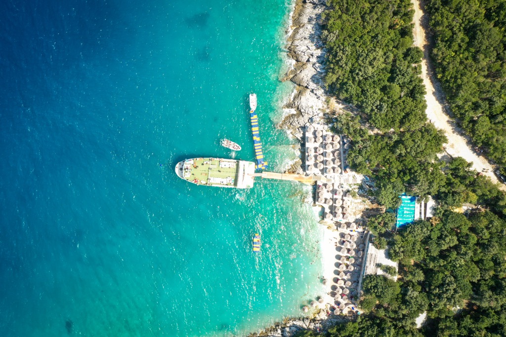
Due to its high-security perimeter, Karaburun Peninsula had been off-limits for a significant period, contributing to its preserved state. However, in recent years, the park’s popularity has surged, and there are now daily tours of these remote, rugged beaches.
Nevertheless, people have used these barren fields and coves since prehistory. Among the numerous bays in Karaburun, the Bay of Gramata stands out. The name "Gramata" means "writings" in Greek. Ships would anchor here, and travelers from different Mediterranean countries would leave their carved notes on the rock faces, which also served as quarries.
These inscriptions, dating back to the third century BC and continuing until the nineteenth century, include prayers to gods for protection from storms at sea and references to historical figures such as Pompey, Dolabella, Mark Antony, and Consul Titus Statit Tauri.
Notably, an inscription from 1396 reveals that the Byzantine Emperor John V Palaeologus sought refuge from a storm in Gramata during his journey to France. The inscriptions were mainly written in ancient Greek, Latin, and Byzantine Greek, often accompanied by various drawings and symbols.
A decisive battle occurred in the second century BC, with the Apollonians defeating the city of Thron and taking control of Orik, right next to the Karaburun Peninsula. Due to its strategic importance, the town witnessed numerous military operations conducted by the Epirotes, Illyrians, Macedonians, and Romans. Noteworthy among these battles were the conflicts between the forces of Caesar and Pompey during the civil war in 48 BC. Caesar successfully conquered Orikum without a fight before heading to Apollonia.
According to legend, Haxhi Ali Cave was once utilized by the renowned pirate Haxhi Aliu during the seventeenth century. The strategic location of Karaburun allowed Aliu to plunder ships from Mediterranean locales, including Naples, Turkey, Venice, and Dalmatia. Folklore even includes a song about this famous pirate. After the Venetian military successfully killed Aliu and his son, they were supposedly buried on Sazan Island, although the graves remain undiscovered.
Another famous cave in Karaburun is the Inglizi, named during World War II when English Special Operations established a naval base called Seaview (Riviera) to support anti-fascist resistance missions in Albania.
The hikes we recommend in Managed Nature Reserve Karaburun include:
The Brisani Bay to Duk Gjoni Cave trail is a new route on Karaburun Peninsula, perfect for hiking enthusiasts and outdoor adventurers. It is an extension of the Pashaliman Military Base to Brisani Bay route.
Duk Gjoni Cave, located at an elevation of 122 m (400 ft) above sea level, covers an area of 600 sq. m (1968 sq. ft) and serves as critical habitat for cave-dwelling creatures. The trail has a distance of 13 km (8 mi) and takes approximately 4 to 4.5 hours to complete, with a maximum elevation of 368 m (1,207 ft).
Activities along the trail include beach visits, cave exploration, diving, snorkeling, and camping.
Here, you'll follow the rocky coastline of the Ionian Sea on the peninsula's western side, offering breathtaking views of the Karaburun Sazan Marine National Park.
Dafina Bay, or the Bay of Dolphins, is undeniably one of the park’s most breathtaking beaches. The final stretch of the hike, descending from the hill to the bay, needs a proper trail, leaving hikers with a tough choice: navigating through a dense thorn forest or traversing a potentially hazardous rocky ridge due to its exposure. The starting point is near the Marmiroi church in Orikum, 5 km (3 mi) from the Bay.
Here you can see the captivating Bay of Grama, where stunning landscapes and the mesmerizing turquoise waters of the Ionian Sea greet you. This hike takes around three and a half hours and goes from Qafa e Thellë viewpoint. This bay is renowned not only for its pristine waters but also for its historical significance. During the Roman period, Grama was a significant quarry and has been a refuge for sailors since ancient Greek civilization.
The biggest cities near Nature Reserve Karaburun include:
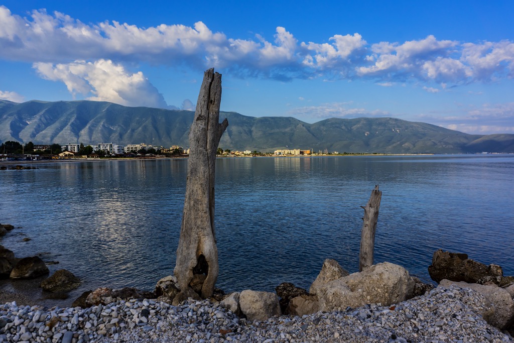
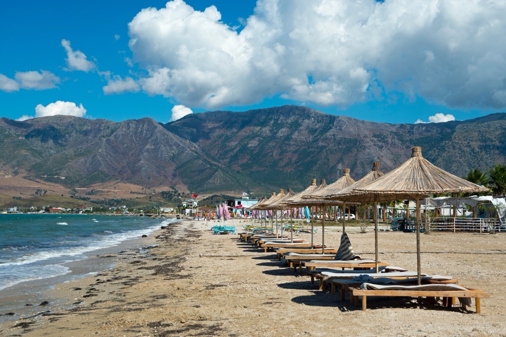
Orikum is a town in southwestern Albania, situated on the coast of the Adriatic Sea. It has a population of approximately 5,500 residents. It’s known for its beautiful beaches, making it a popular tourist destination during summer. Visitors can swim, sunbathe, or try their hand at watersports like kayaking and paddleboarding.
One of the notable landmarks in Orikum is the ancient city of Oricum, which dates back to the sixth century BC. Additionally, Orikum is a convenient base for exploring the nearby Karaburun Peninsula and the Karaburun-Sazan National Marine Park.
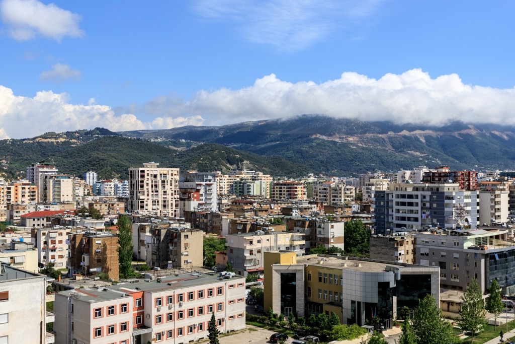
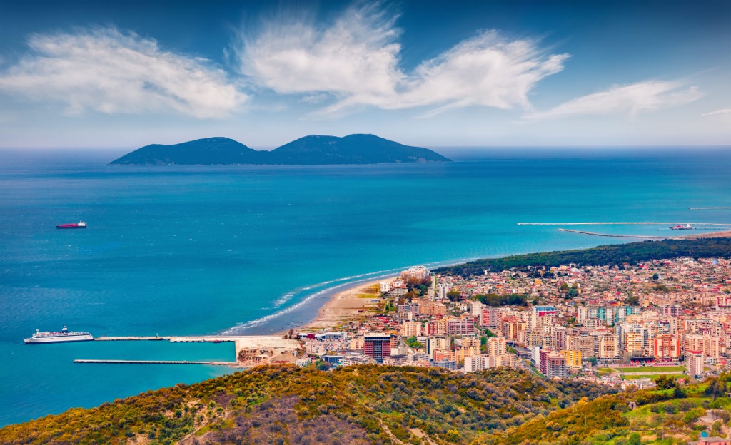
Vlorë is a city located on the southwestern coast of Albania. It is the country's second-largest port on the beautiful Adriatic Sea. The city has a population of approximately 125,000. Vlorë is known for its historical significance; it’s where Albania declared independence from the Ottoman Empire in 1912.
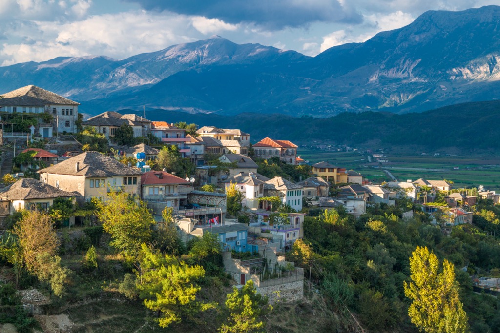
Gjirokaster is a city in southern Albania in Gjirokaster County. The city’s population is approximately 61,000, and it’s known for its well-preserved Ottoman architecture and inclusion as a UNESCO World Heritage Site.
Visitors to Gjirokaster can explore its charming cobblestone streets and traditional stone houses, which showcase the city's unique architectural style. The city is often called the "City of Stone" due to its distinctive stone architecture.