Scan the QR code and open PeakVisor on your phone
Pine Le Moray Provincial Park is located in central British Columbia near the Alberta British Columbia border. The park was established in 2000 and covers 106,970 acres of land. There are 5 named mountains in Pine Le Moray Provincial Park. The highest and the most prominent mountain is Mount Hunter at 6,667 feet with 2,211 feet of prominence.
During the 1940s the construction of Highway 97 was planned out and building began. By 1950 a lodge known as Mount Le Moray Lodge was constructed along Pine Pass. The lodge acted as a stopping place for those working on the road as well as tourists who were coming to explore the newly accessible area. Over the following decades, the region grew in popularity amongst outdoor sports. Summer months provided space for camping, fishing, and hiking while winter months provided snow for skiing and snowmobiling. Prior to colonizers settling in the region, the land was home to the First Nations of the Treaty 8. Because the region was growing in popularity, it became protected in 2000 to help preserve the wildlife and its ecosystems. Today the main parking area is located along Heart Lake.
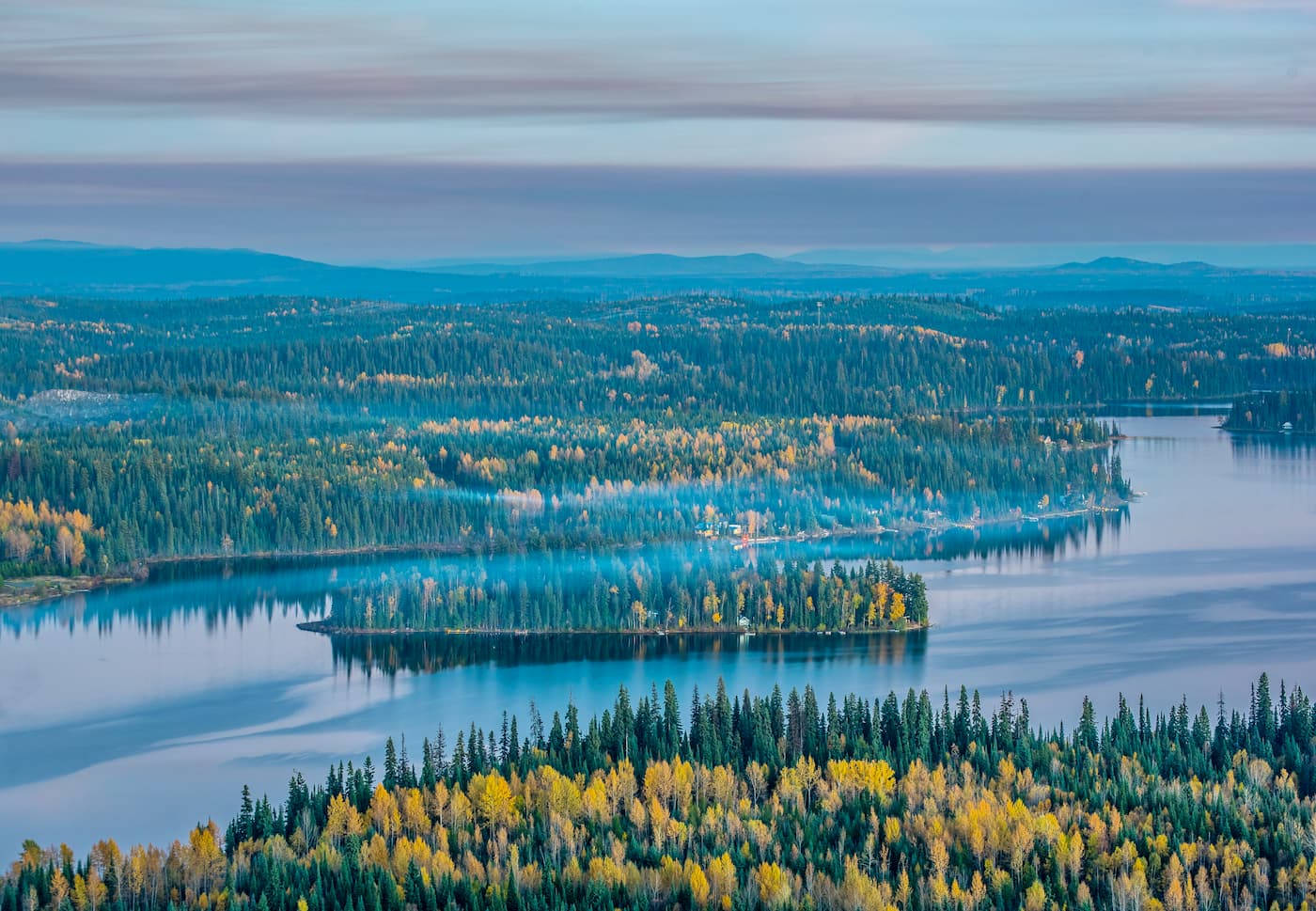
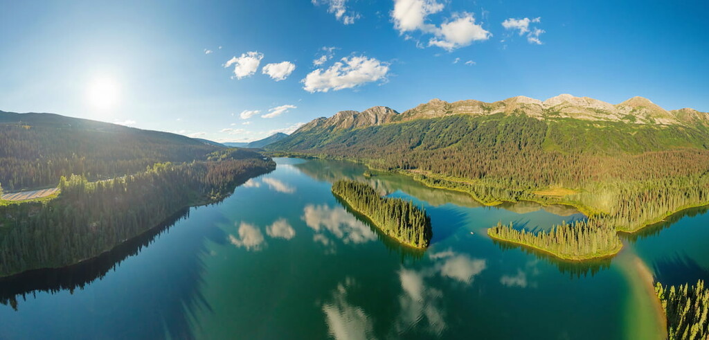
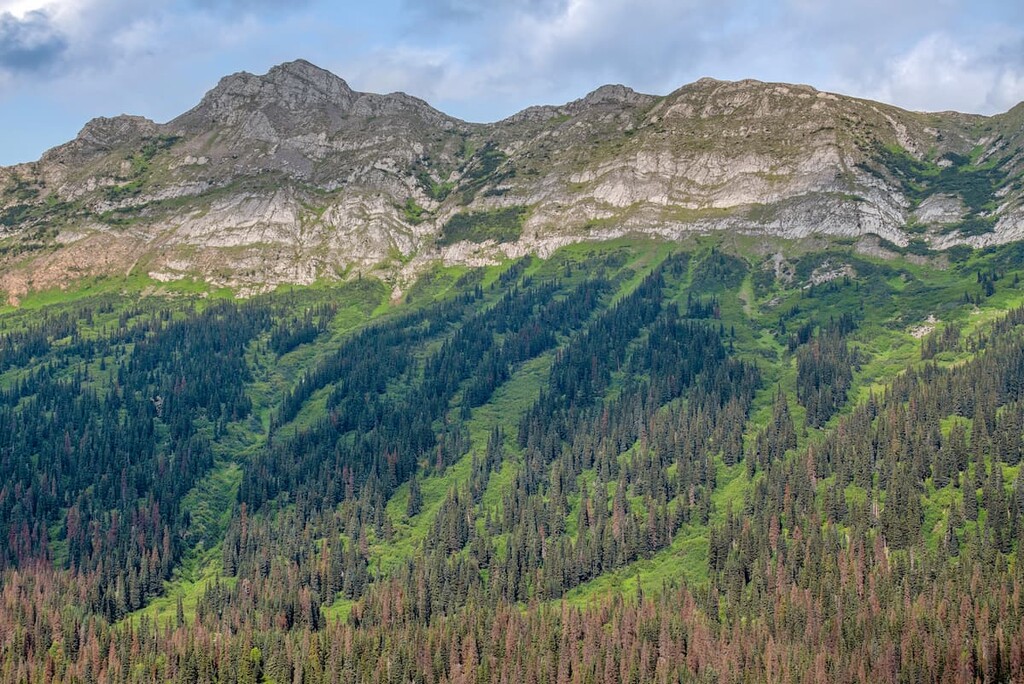
The mountains that run through the park are known as the Hart Range and sit next to the Rocky Mountains. Throughout the mountains of the park, run the Pine River, Link Creek, Mountain Creek, and Heart Lake. The Pine Le Moray Provincial Park helps protect the upper watersheds of these bodies of water as the surrounding Engelmann Spruce-Subalpine Fir Biogeoclimatic Zone. While trout, grayling, and whitefish live within the waters of the park, the surrounding land is home to grizzly bear, black bear, caribou, moose, and the elusive wolverine.
Hikers should note that there are not maintained trails within the park. Though some have been established overtime, they are not regularly monitored by the park service.
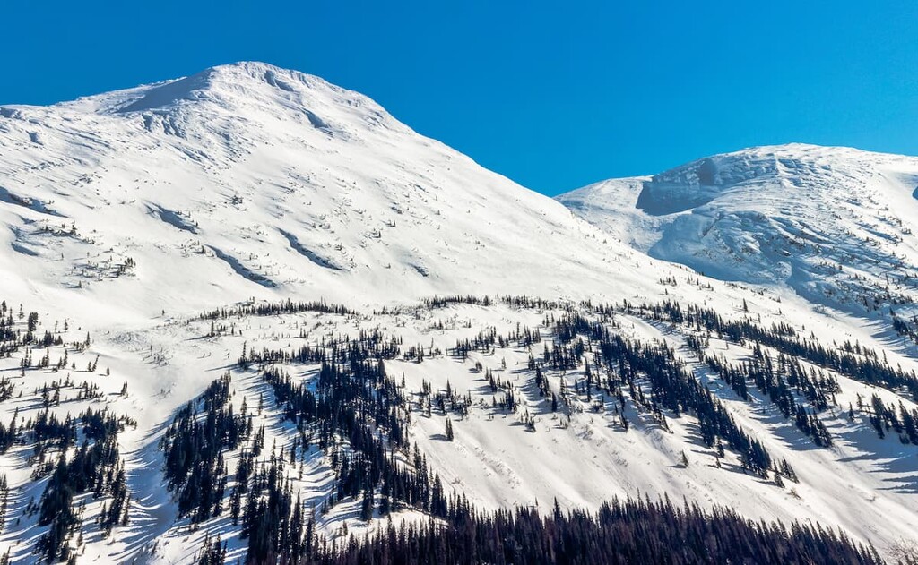
Mount Murray (Pine Pass): The most popular hike in the park leads up to Mount Murray, the second tallest peak in the park at 5,955 feet. Also known as Pine Pass, this trail is just over 5 miles long with 3,579 feet of elevation gain. The steep trail climbs high above the highway below with alpine lakes throughout. The dense forest gives way to the rugged peaks within the park allowing for panoramic views.
Murray Range Trail: The Murray Range Trail is 2.8 miles long with 2,982 feet of elevation gain. The route climbs steeply above the highway, allowing for views of the Murray Range that runs through the park and the surrounding land.
To the northeast of Pine Le Moray Provincial Park lies the city of Fort St. John. The city has a population of roughly 21,000 individuals. The city has moved over six times throughout its history and now resides north of the Peace River. With its population, Fort St. John is one of the largest cities in the entire region. The city is home to restaurants, shops, a hockey rink, and hosted the BC Winter Games in 1984. During January the city also hosts an annual festival full of ice sculptures. The oil, gas, and forestry industries are crucial to the city’s economy.
The city of Prince George is located 2.5 hours south of the Pine Le Moray Provincial Park. With a population of nearly 90,000, Prince George is the largest city located in northern British Columbia. The city is situated at the confluence of the Fraser and Nechako rivers near the transition of the northern and southern Rocky Mountain Trench. Within the city there are riverfront trails although the city is known for being close to four provincial parks. The parks offer an abundance of trails as well as skiing.