Get PeakVisor App
Sign In
Search by GPS coordinates
- Latitude
- ° ' ''
- Longitude
- ° ' ''
- Units of Length

Yes
Cancel
❤ Wishlist ×
Choose
Delete
Nestled in southern Spain, lies Parque Natural Sierra de las Nieves (Sierra de las Nieves Natural Park); a stunning outdoor recreation destination just outside the city of Ronda. The park contains 59 named mountains with Torrecilla being both the highest, 1,919 m (6,296 ft), and the most prominent, 1,469 m (4,820 ft). In 2019 the Parque Natural Sierra de las Nieves became the 16th national park in Spain.
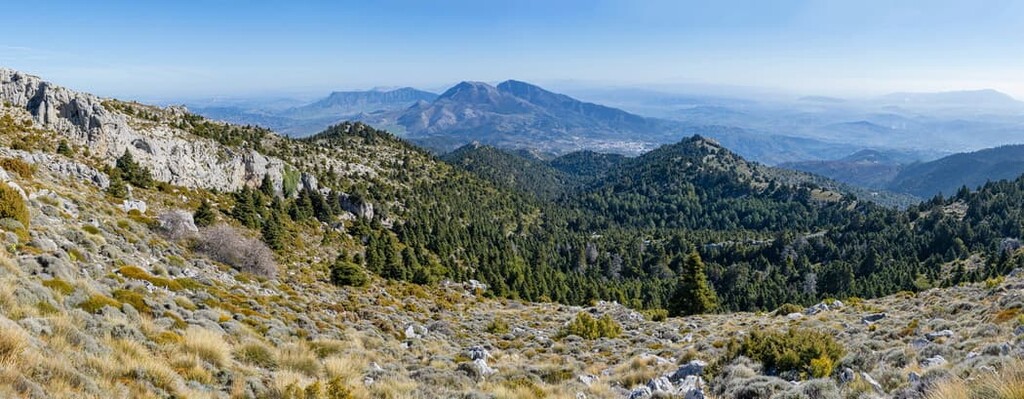
Parque Natural Sierra de las Nieves is situated in the southern region of Spain in the autonomous community of Andalusia. The park spans 93,930 ha (363 square miles) across southern Spain.
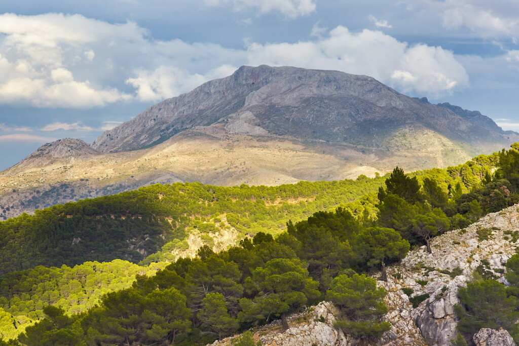
The park is centered around the tallest peak, Torrecilla, which is part of the Sierra de las Nieves mountain range. This subrange is part of the larger Penibaetic System of mountains. The rugged mountain peaks are interspersed with dense sections of fir forests. Amidst these peaks of Spain also lie the deep networks of caves and caverns. There are relatively few flat landscapes within the park which has contributed to there being very little agricultural activity.
Additionally, Parque Natural Sierra de las Nieves is located near a large number of other popular outdoor recreation areas. This includes the Parque Natural Montes de Málaga (Montes de Málaga Natural Park) to the east, Parque Natural Sierra de Tejeda, Almijara, y Alhama (Sierras of Tejeda, Almijara and Alhama Natural Park) to the northeast, and Parque Nacional de Doñana ( Doñana National Park) to west.
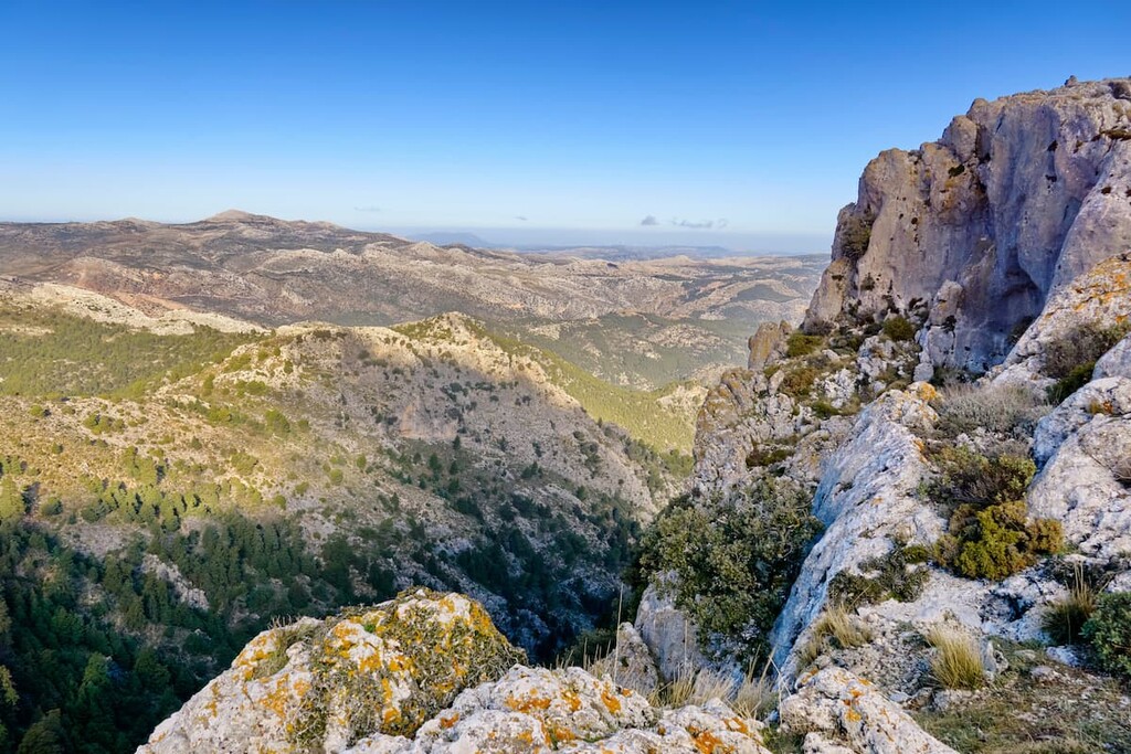
The Sierra de la Nieves mountain range that lies within the park boundaries is characterized as a karstic range. These limestone peaks have become eroded and shaped over millions of years to create the peaks visitors see today. Subranges within the park include the Sierra de la Nieve, Sierra de Tolox, and the Sierra del Pinar.
The mountain range, and the park, are full of distinct shafts along with a deep network of caves. Though there are numerous caves throughout the park, some of the most well are Hoyos del Pilar, Hoyos de Lifa, and Cuevas del Moro. The GESM shaft in the park is the deepest known one in all of Europe descending down 1098 m (3,602 ft).
There are numerous shafts and are hundreds of meters deep, some being too narrow to explore. The Guadalevin River cuts through the park and is thought to have carved the Tajo de Ronda canyon.
Major peaks within the park include Torrecilla, Cerrete de los Valientes, Cerro Alto, and Peñon de los Enamorados.
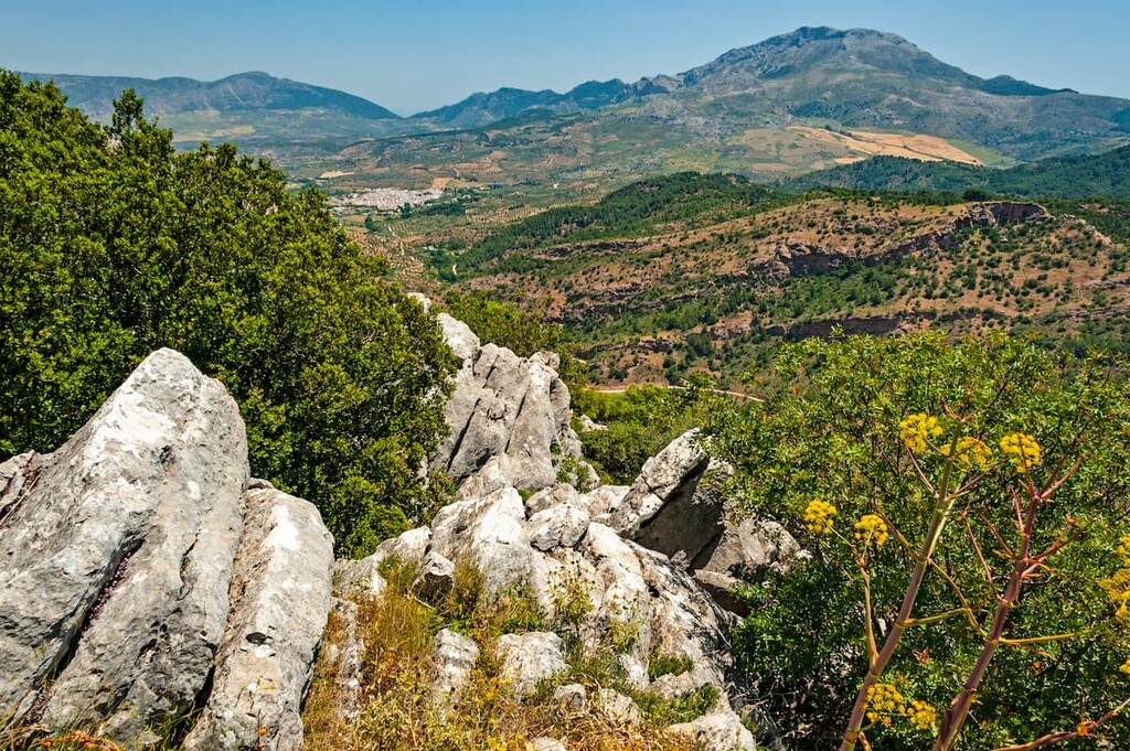
The vast biodiversity of the park led to it becoming a protected UNESCO biosphere. The lack of large villages and cities in the park has resulted in the preservation of many species of flora and fauna.
Dense forests cover much of the lower elevation in the park, including the endemic Spanish Fir, Gall Oak, ash, chestnut, pine, and wild olive trees. Chestnut trees are often found near water sources in the park while cork oak lie in the western region of the park.
The animals in the park are typical of other parks located in southern Spain. Large populations of doe deer, mountain goat, and corzo. The park is also home to meloncillo. These species of mongoose are endangered in other parts of southern Spain. Royal owls along with other birds of prey soar the skies of the park.
Despite the park’s location to numerous communities, the land and mountain range have been relatively unaffected. The rugged terrain has resulted in minimal agricultural activity within the mountain ranges. Within the deep network of caves in the park, explorers have found historical artifacts, though most have been recovered and are preserved at the Málaga Museum.
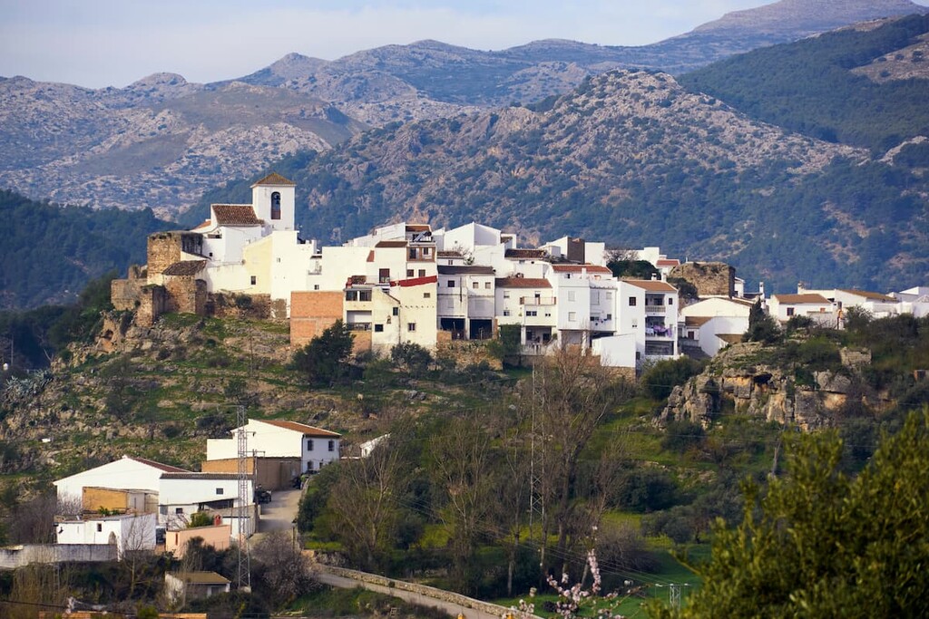
Despite the moderately high elevations of the mountain range, the peaks do receive snowfall during the winter months, hence the meaning of their name; snow mountain range.
Prior to becoming a park the land became an established hunting reserve in 1970. In 1989 the land was then named a natural park. Just six years later in 1995, the park was declared a Biosphere Reserve by UNESCO.
Parque Natural Sierra de las Nieves is home to numerous trails. Here are some of the top hiking areas to visit in the park:
The Guadalmina Canal Trail is one of the most popular routes in the park. The 5 km (3 mile) loop trail has just 116 m (383 ft) elevation gain. This gentle trail follows along the Guadalmina River with view of the Mirador de las tres Pérgolas traveling across numerous bridges along the way
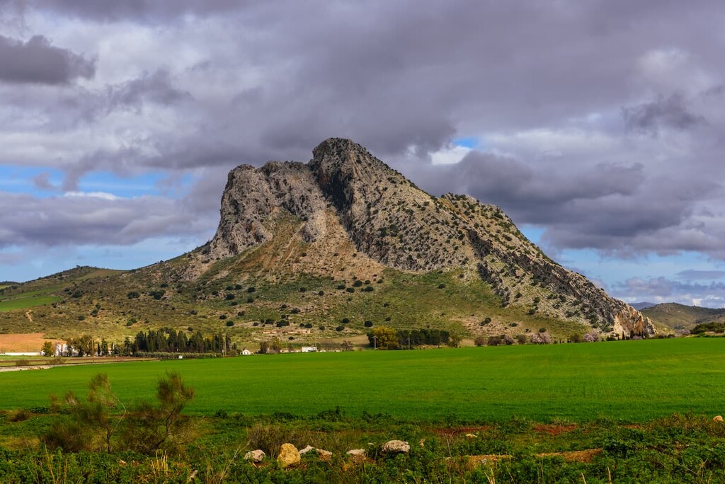
Located on the eastern edge of the park lies the Peña de los Enamorados. This challenge 15.4 km (9.6 miles) hike has 823 m (2,700 ft) elevation gain. The loop trail showcases the distinct peaks that make up the Sierra de las Nieves mountain range. Visitors travel through the forests of the park along with a section going through the Tajo de la Caina. Higher elevations provide viewpoints of the park and surrounding peaks.
Located along the northern end of the Sierra Nevada National Park lies the Sierra Parda de Tolox loop trail. The route is 13 km (8 miles) with 661 m (2,168 ft) elevation gain. Visitors travel through both forested sections as well as a trip near the Rejia ravine towards the Salto de la Virgen. Waterfalls can be seen throughout the trail.
Looking for a place to stay near Parque Natural Sierra de las Nieves? Here are some of the best cities and villages to check out in the region:
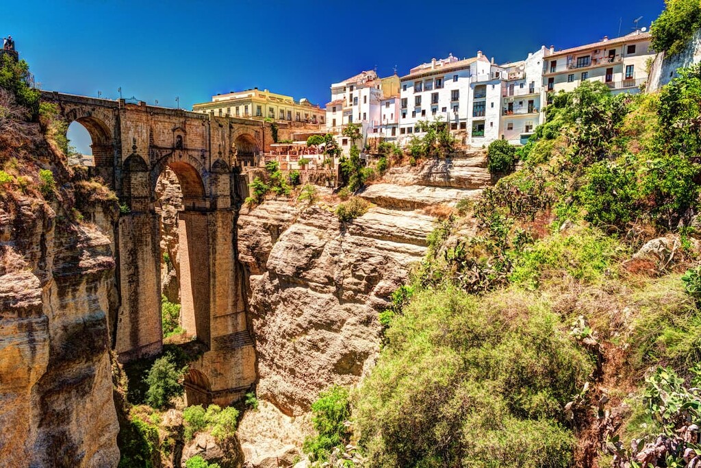
Located just northwest of the park lies the city of Ronda. The city has a population of around 35,000. Remains have been found throughout the mountainous city dating back to the Neolithic Age. The Guadalevin River runs throughout the city, dividing it into two distinct regions.
The relatively small city is known for its close proximity to the park, laid back lifestyle and cultural history. Ronda is also known for the Corrida Goyesca bullfight that takes place once a year in the Plaza de toros de Ronda, known for being the oldest bullfighting ring in all of Spain.
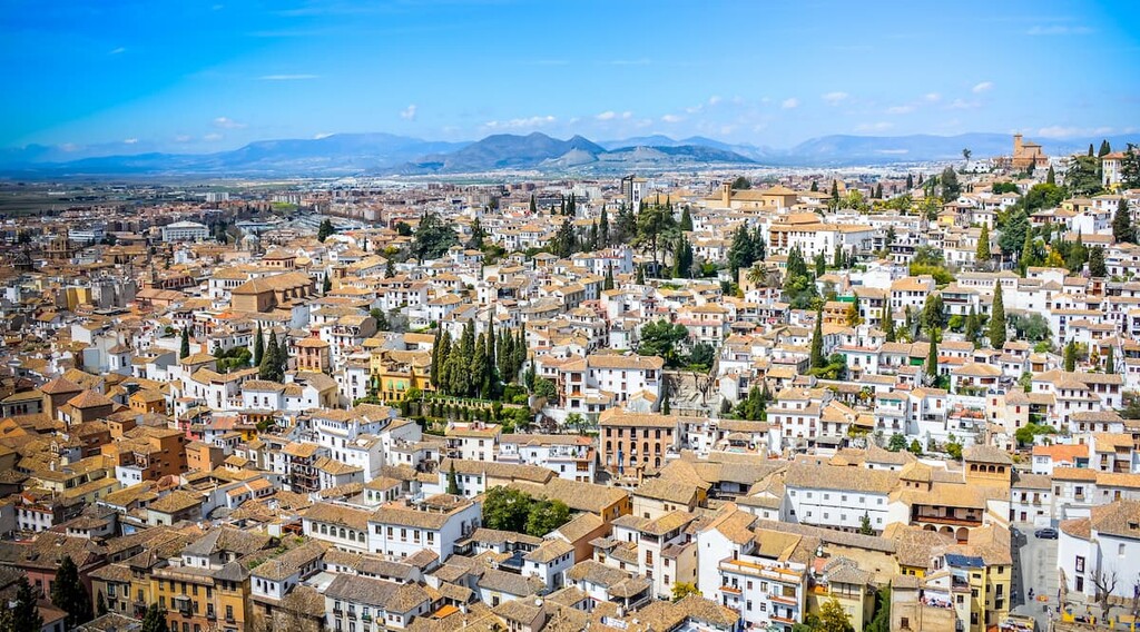
Located south of the park, along the coast lies the city of Marbella. The city has a population of over 140,000 making it the second most populous city in the province of Málaga. Located along the Costa del Sol, Marbella is a popular tourist destination for its temperate climate and proximity to the ocean.
Besides well-known beaches and late night bars, the tourist destination is also home to numerous museums, statues, art galleries, and festivals. The city is home to multiple Salvador Dali sculptures along the Avenida del Mar.
Explore Parque Natural Sierra de las Nieves with the PeakVisor 3D Map and identify its summits.


