Scan the QR code and open PeakVisor on your phone
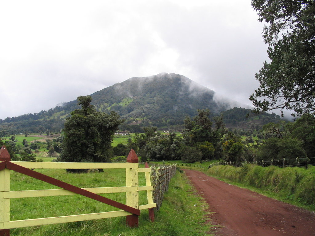
Parque nacional Volcán Turrialba, also known as Turrialba Volcano National Park, is located in central Costa Rica, east of San Jose. The small park spans just 6.17 square miles, surrounding Turrialba Volcano. The park was established in 1955 with the last major eruptions occurring between 1864 and 1868. There is one named mountain in Parque nacional Volcán Turrialba. Volcan Turrialba stands at 10,827 feet with 2,126 feet of prominence. Eruptions in the park have increased since 2014 resulting in major ash clouds affecting parts of the country.
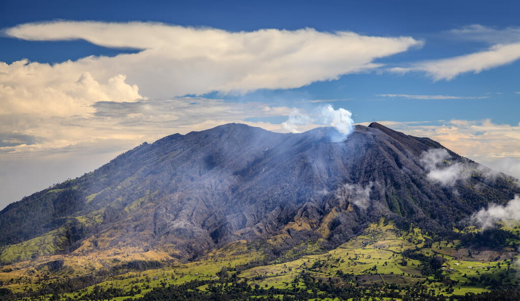
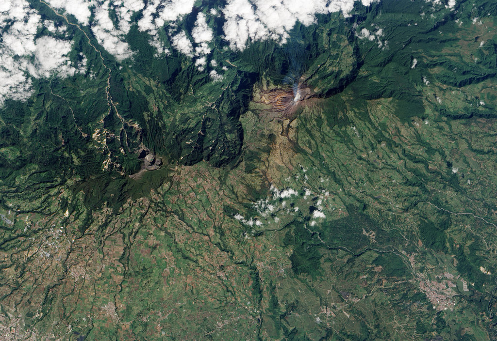
The volcano is home to three distinct craters with the largest spanning over 160 feet across. From the summit, visitors can see the crater below as well as views of both the Pacifc Ocean and the Caribbean Sea. The Caribbean plains can be seen in the distance along with the Turrialba valley and the Talamanca mountain range that spans the length of the country. The Turrialba Volcano is located in close proximity to the Irazu Volcano. Because of their similar characteristics and location to one another, they are often characterized as twin peaks.
While the land around the crater is more barren, lower elevations in the park consists of dense forests home to over 80 species of birds and 11 species of mammals. Much of the national park consists of primary and secondary forests, which is where a majority of the animals live. Howler monkeys can often be seen in the montane forests along with agouti, armadillo, and coati.
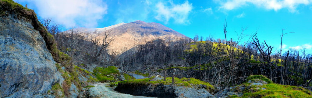
There are no major trails found throughout the park but the summit does have a few easy walking trails. In total the 2.2 miles of trails take visitors around the easternmost crater lake, along ridges, and up to the central crater. No designated trails lead to the western crater as it is the most active and dangerous. The park can be closed from time to time due to eruptions so visitors should plan accordingly.
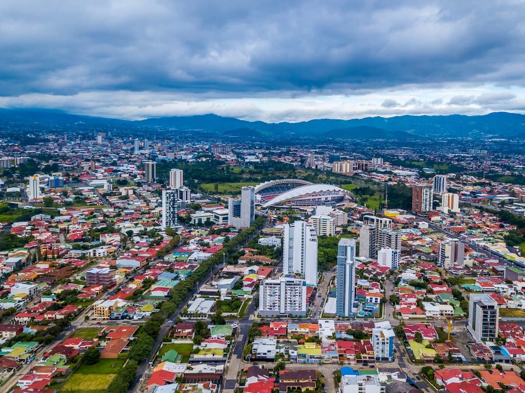
The largest city in the country is San Jose, which also happens to be the capitol. The metro population of the area is estimated to be 2.1 million people. The central location of the city allows for travelers to have easy access to all regions of the country. San Jose is known for being one of the safest major cities in Latin America and its focus on sustainability. Typical food throughout Costa Rica, and within San Jose, consists of gallo pinto, a mixture of beans and rice. From the capitol city, tourists have access to all of the major regions and National Parks that Costa Rica has to offer.


.jpg)