Scan the QR code and open PeakVisor on your phone
Parque Nacional Santa Rosa, also known as Santa Rosa National Park lies in the northwestern region of Costa Rica along the Pacific coastline. The park protects 150 square miles of land along with 164 miles of water and was established back in 1966. Santa Rosa National Park is part of the larger Area de Conservacion Guanacaste World Heritage site and shares a border with the Guanacaste National Park. Together these two parks are protected in hopes of providing enough diverse landscape for plant and animal life to thrive. While the park is important for a multitude of reasons, it also marks one of the last remaining sections of tropical dry forest. There are 8 named mountains in Parque Nacional Santa Rosa. Cerros Santa Elena is the highest point at 1,421 feet. The most prominent mountain is Loma Higueronal with 659 feet of prominence.
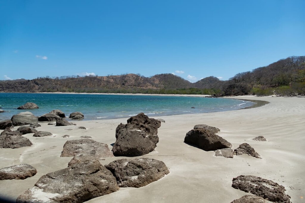
Despite not being the largest of national parks, Santa Rosa is home to ten diverse habitats. The beaches provide protection for marine life including nestling locations of sea turtles. The Naranjo and Nancite beaches are among the most notable. Other sections of the park include tropical dry forest, marshlands, savannas, and woodlands covered in mangroves. Many species were once burned away by farmers so today the landscape is dominated by the fire resistant Bignoniaceae trees throughout the inland sections.
The beaches alone draw visitors to this remote national park each year. The forest along the beaches tends to be drier in the summer months, making it the perfect time for exploring the hiking trails throughout. Besides the hiking trails, Santa Rosa National Park is known for being home to some of the best surfing in the entire country. Playa Naranjo is the best known surfing spot in the park with waves for both beginners and experts.
The diversity of landscapes allows a wide range of animals to thrive in the park. While sea turtles roam the beaches and waters, the forests are home to coatis, coyotes, Baird’s tapirs, cougar, jaguar, various species of monkeys, and over 250 species of birds. The drier landscape is connected to the cloud forests of the Guanacaste National Park, allowing for the animals to move between the two parks.
Mirador Valle Naranjo Trail: This short trail may take an off roading vehicle to access but provides amazing views of the entire park. The trail is 1-mile round trip and ends at a lookout above the park with Witch’s Rock and the Pacific Ocean being seen in the distance.
Sendero Carbonal: At the end of the 7-mile dirt road through the park, lies the Sendero Carbonal trail. Starting near the beach, this trail is five miles round trip and explores the tropical dry forest near the beach for a great chance of wildlife viewing.
Sendero Los Patos: The Sendero Los Patos trail is 1.3 miles round trip winds through the dry forest before reaching a viewpoint over the valley below.
While there are many trails throughout the park, many visitors also spend time exploring the beautiful beaches and hiking along them to discover hidden coves while viewing wildlife.
Located just south of the Nicaragua border lies the city of La Cruz. With a population of around 10,000, La Cruz is popular amongst surfers and outdoor enthusiasts ready to explore the more remote regions of the country. The close proximity to Santa Rosa National Park, along with the Pacific Ocean have contributed to the city’s growth in recent decades. Increased tourism has led to numerous hotels, hostels, restaurants, and shops being established.
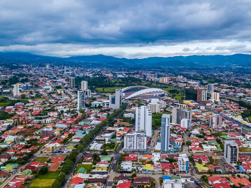
The largest city in the country is San Jose, which also happens to be the capitol. The metro population of the area is estimated to be 2.1 million people. The central location of the city allows for travelers to have easy access to all regions of the country. San Jose is known for being one of the safest major cities in Latin America and its focus on sustainability. Typical food throughout Costa Rica, and within San Jose, consists of gallo pinto, a mixture of beans and rice. From the capitol city, tourists have access to all of the major regions and National Parks that Costa Rica has to offer.