Scan the QR code and open PeakVisor on your phone
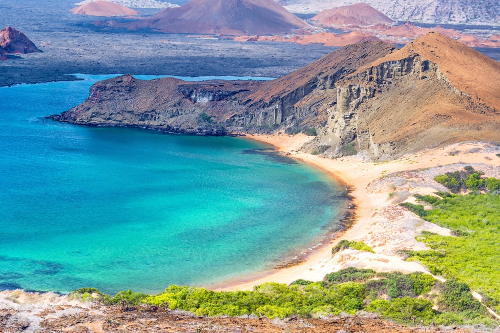
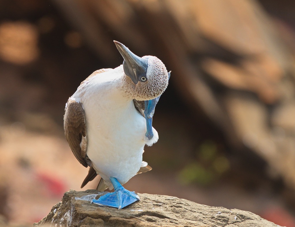
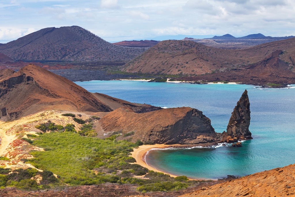
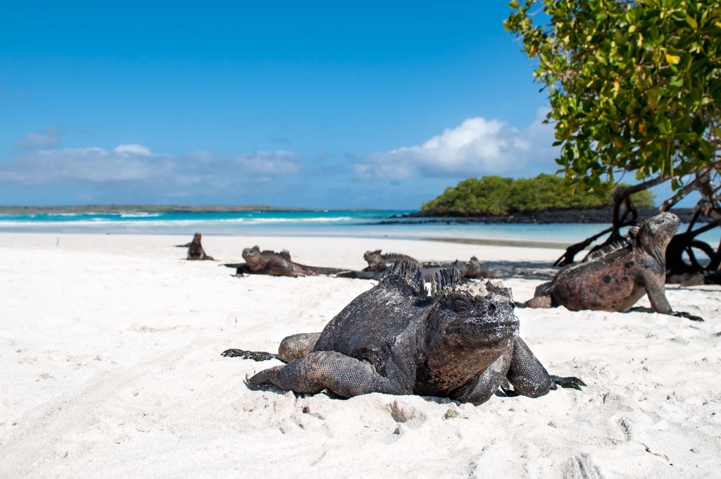
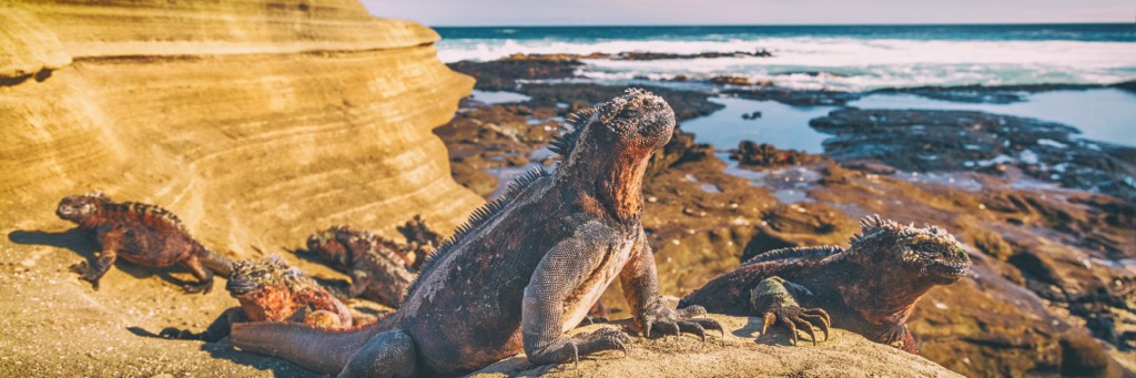
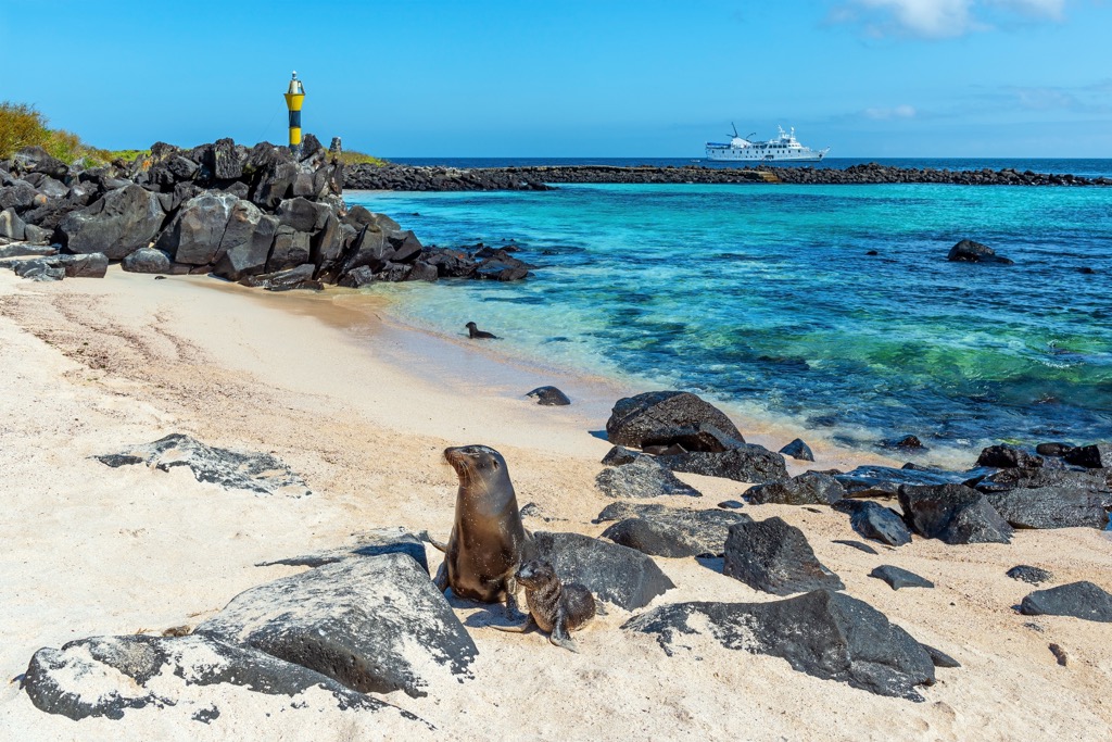
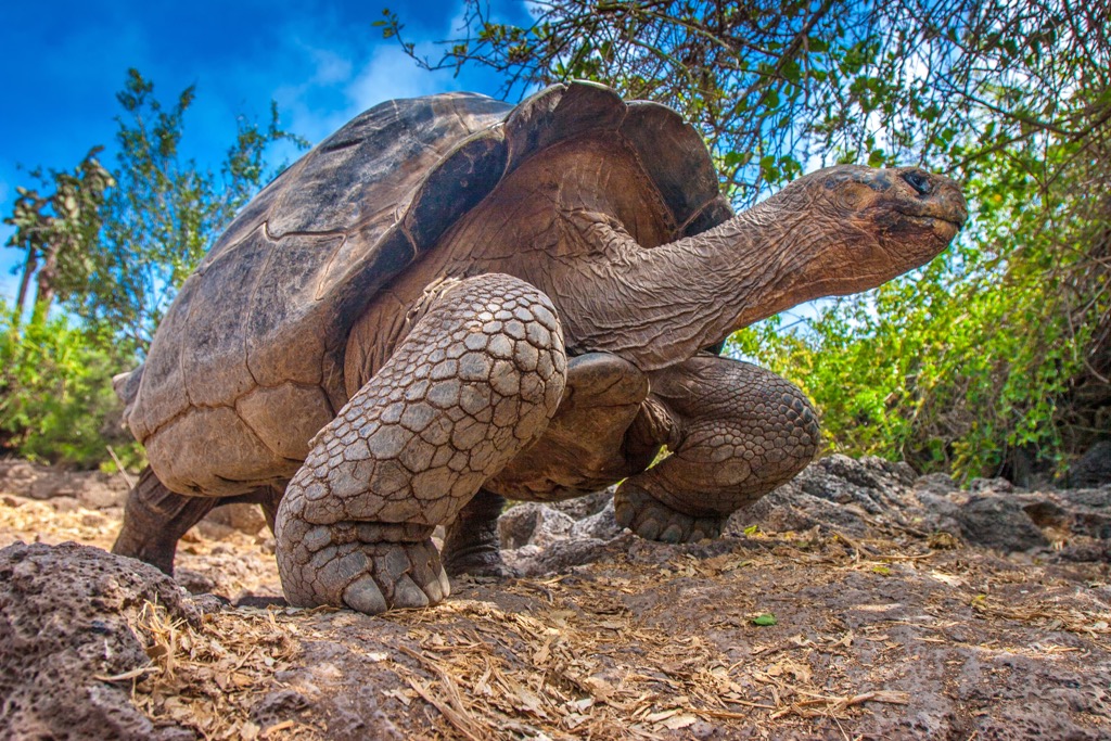
Galápagos National Park (Parque Nacional Galápagos) is one of Ecuador's 11 national parks in western South America, located on 13 volcanic islands of the same name, nearly 1,000 km (miles) off the country's Pacific coast. The main feature of the park is its unique fauna, including sea iguanas, turtles, and many other animals. It was here that Charles Darwin made a trip, after which he developed his theory about the origin of species on earth. The park is also known for the volcanic islands themselves, starting with its highest and the most prominent mountain, the active Volcán La Cumbre (1,481 m / 4,859 ft). In total there are 25 named mountains in Parque Nacional Galápagos.