Get PeakVisor App
Sign In
Search by GPS coordinates
- Latitude
- ° ' ''
- Longitude
- ° ' ''
- Units of Length

Yes
Cancel
❤ Wishlist ×
Choose
Delete
Cheile Nerei-Beușnița National Park, or Nera Gorge-Beușnița in English, is a protected area in southwestern Romania. The park is located in the Anina Mountains, a subgroup of the Western Carpathians. Its borders encompass forests, lakes, and caves, with plenty of vegetation and wildlife. There are 21 named mountains in Parcul Național Cheile Nerei-Beușnița. The highest and the most prominent mountain is Leordișului (1,160 m / 3,806 ft).
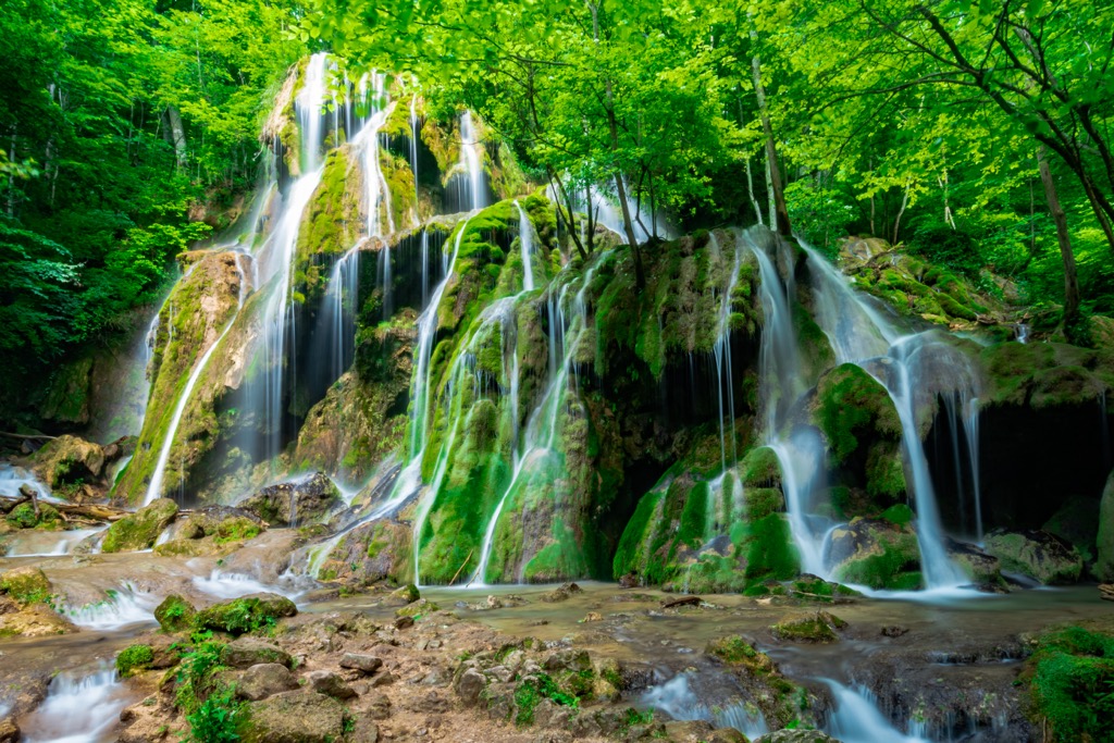
The Cheile Nerei - Beusniţa National Park lies in the southwest of Romania, part of the Caraş-Severin county, Romania’s only county with three national parks. It spans from 152 m (499 ft) to 1,162 m (3,812 ft) in altitude and is part of the local Anina mountains. The region was declared a National Park area in 2000 and covers 36,758 ha (143.1 sq mi), featuring mountainous landscapes and rivers.
The park is situated at the country's southwest edge and encompasses the Nera River's middle course and the Beu River's upper course. Noteworthy features include the Nera Gorges, its waterfalls, and lakes like Devil’s Lake (the result of a collapsed cave).
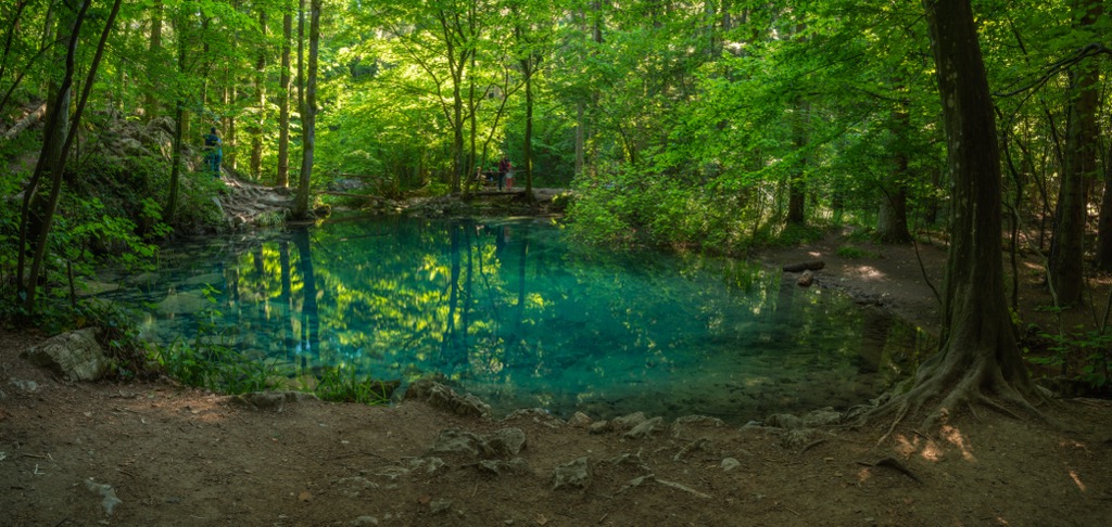
The park's karst region, primarily along the Nera River, includes iconic sites such as Dracului Lake, Beușnița Waterfalls, Ochiul Beului, Bigăr Waterfall, Şuşara Waterfall, and Moceriș Waterfall. The park is in proximity to several villages and towns, including Anina, Șopot, Sasca Română, Sasca Montană, Potoc, and Socolari.
In a decision made on July 12, 2017, the UNESCO World Heritage Committee included more than 4,200 ha (16.2 sq mi) of ancient beech forest within the Cheile Nerei—Beușnița National Park in its natural heritage list.
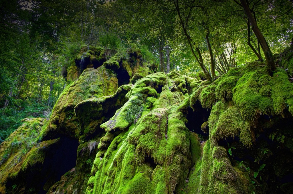
The landscape in Cheile Nerei-Beușnița National Park is characterized by alternating calcareous plateaus, expansive depressions, deeply carved valleys, and steep rocky walls. This diverse terrain features a range of karst phenomena, including slabs, sinkholes, gorges, caves, vents, and waterfalls. The park has over 470 caves in total.
Noteworthy geological phenomena include the Devil's Lake, formed by breaking the ceiling of a cave. The lake has a depth of 12 m (39.4 ft). Another lake is the famous blue-green Ochiul Bei, fed by a submerged spring with a depth of 3.6 m (11.8 ft).
The stunning Nera River Canyon emerges at the convergence of the Nera River into the Anina Mountains. The region's geological foundation, rich in karst formations, gives it a signature look. Anina, a vital town near the park, boasts an impressive Jurassic fossil record, including plants and animals.
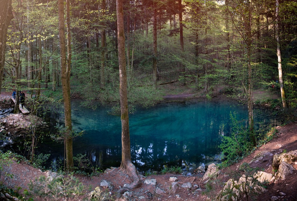
In addition to the geological significance, the park was established to protect biodiversity, flora, fauna, and natural habitats in the south of the Anina Mountains. The sub-Mediterranean climate of Beușnița fosters the presence of distinctive species like the Euscorpius and the horned viper.
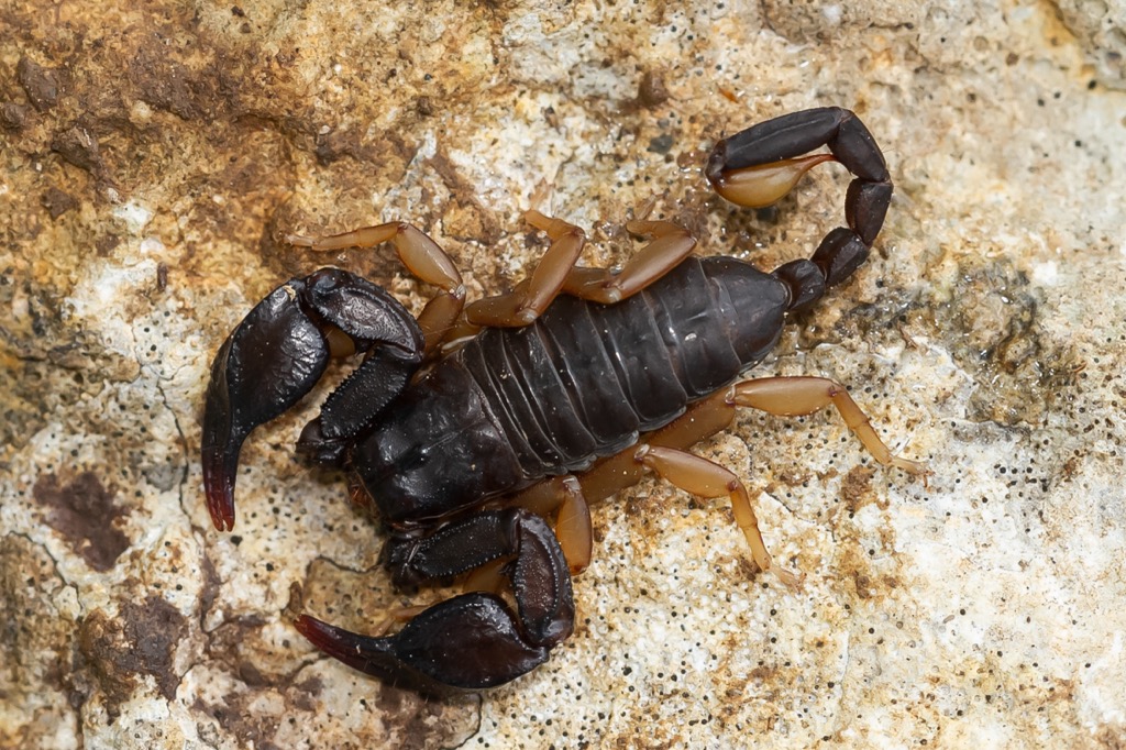
The park's mixed forest includes various tree and shrub species, such as English oak, common hornbeam, European beech, European ash, and others. Herbaceous plants include orchids, fritillaries, and various other species. The park's characteristic habitats include centuries-old beech trees with Turkish hazel and lilac bushes.
The park's fauna includes mammals like brown bears, deer, wolves, and otters. Bird species present are golden eagles, kingfishers, hazel grouse, and many others. The diverse ecosystem includes reptiles, amphibians, and fish species. The landscape supports a variety of woodpeckers, insects, and two-thirds of Romania's bat species. The intricate cave systems provide an ideal niche habitat for aquatic species; significant fish populations thrive in their depths.

Archeological sites in 24 caves in Cheile Nerei contain traces of human habitation from the Paleolithic to the present.
Historically, the region thrived during the Austro-Hungarian Empire, leading to the construction of Romania's first railway between Oraviţa and Anina. Noteworthy structures like Beiului Fortress and the oldest Viennese Baroque-style theater in the country, "Mihai Eminescu" Theater in Oraviţa, are from this era.
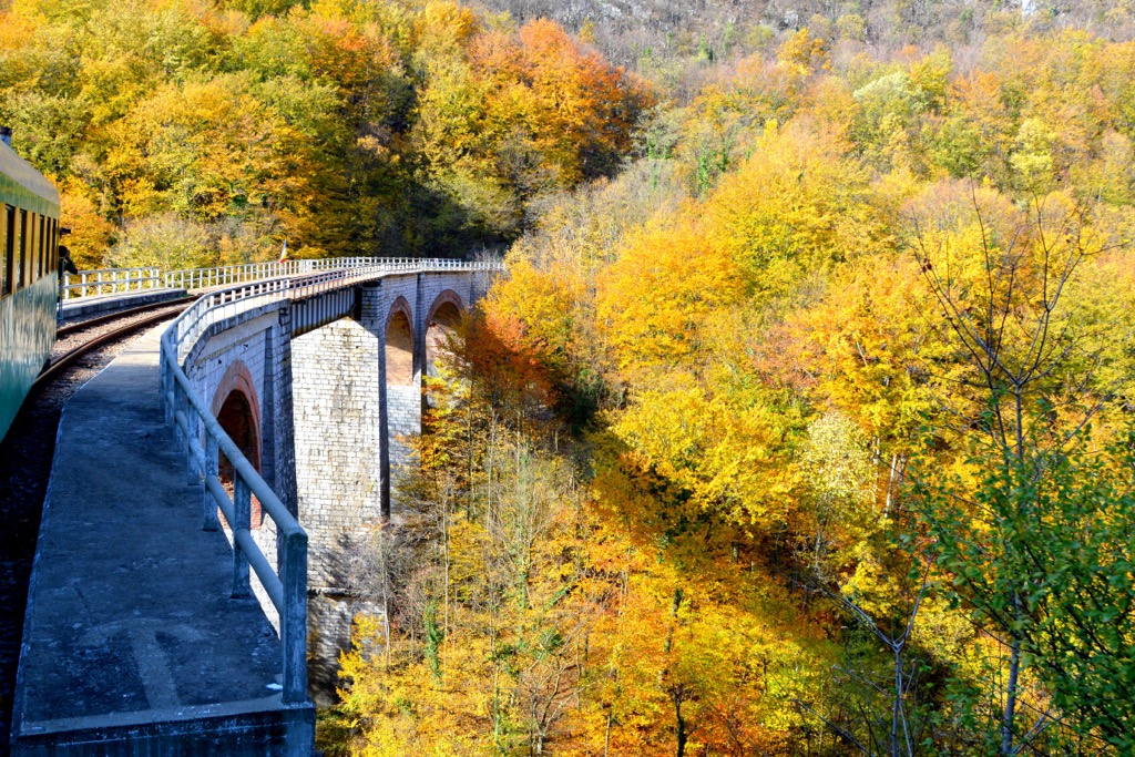
The Beuşniţa National Park, positioned amidst these protected areas, boasts hand-dug paths and tunnels along the rocky river borders, including the famous Cheile Nerei paths like Dealul Cărăula, connecting Sasca Montană and Şopot over approximately 25 km. Near the park is Cheile Rudăriei Natural Reserve with the Millinological Reserve, preserving 22 old water mills and their heritage.
The red-striped hiking trail, spanning approximately 25 km (15.5 mi), guides enthusiasts through the Nera Gorges, while water enthusiasts can navigate the same route by raft. The secluded Devil's Lake, an extraordinary karst phenomenon, lies just off the main trail.
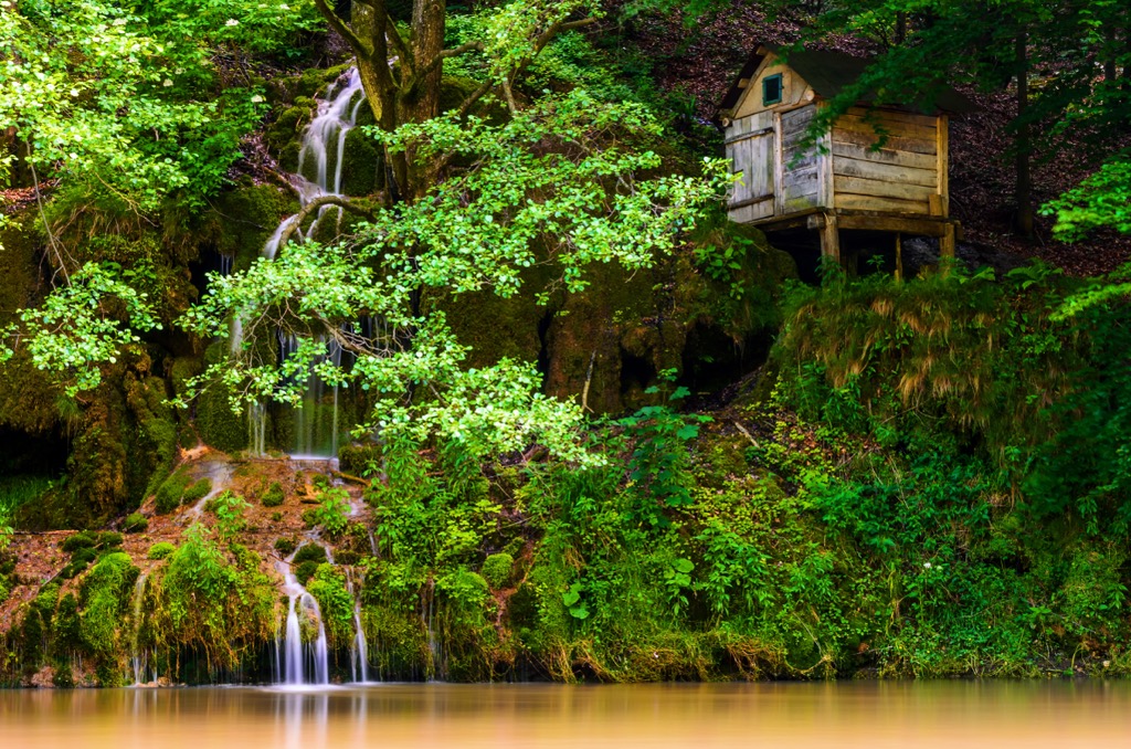
This hike begins from the historic mining village, Sasca Montana, and leads to the enchanting Devil's Lake. For those pressed for time, a convenient option is to drive to Poiana Logor and embark on a 2-3 hour hike to reach the scenic lake.
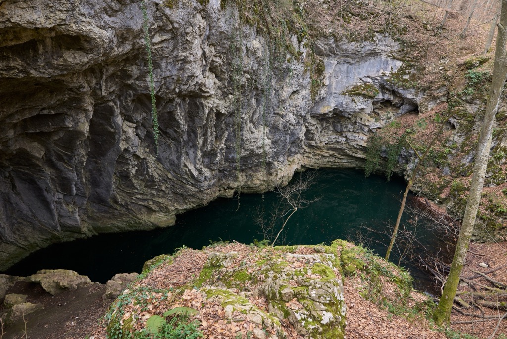
The lesser-known summit of Leordiș Peak in the Anina Mountains stands at 1,160m (3,806.8 ft). The route may lack the grandeur of Retezat or Făgăraş, but it offers mountain tranquility away from crowds and is a worthwhile option.
Drobeta-Turnu Severin, also known as just Severin, is home to approximately 100,000 people. The city boasts historical landmarks such as the medieval fortress of Severin and the iconic Trajan's Bridge. Visitors can leisurely explore the riverfront along the Danube River.

This vibrant city has a population exceeding 500,000 and is one of the largest cities in Western Romania. Known as the birthplace of the 1989 Romanian Revolution, it features well-preserved Baroque architecture in Union Square, Victory Square, and Liberty Square. Timișoara is also known as a cultural hub in the heart of Romania.

Explore Parcul Național Cheile Nerei-Beușnița with the PeakVisor 3D Map and identify its summits.


