Get PeakVisor App
Sign In
Search by GPS coordinates
- Latitude
- ° ' ''
- Longitude
- ° ' ''
- Units of Length

Yes
Cancel
❤ Wishlist ×
Choose
Delete
The mythical Pangaion Hills lie in northeastern Greece, near the border with Bulgaria and Turkey. They are prominent in ancient Greek and Latin texts, having been the home of the Oracle of Dionysus and a hub for ancient gold and silver mining. Today, the region is a popular hiking destination. There are 6 named mountains in Pangaion Hills; the highest and the most prominent is Mati (1,956m / 6,417 ft). Mati is also known as Koutra.
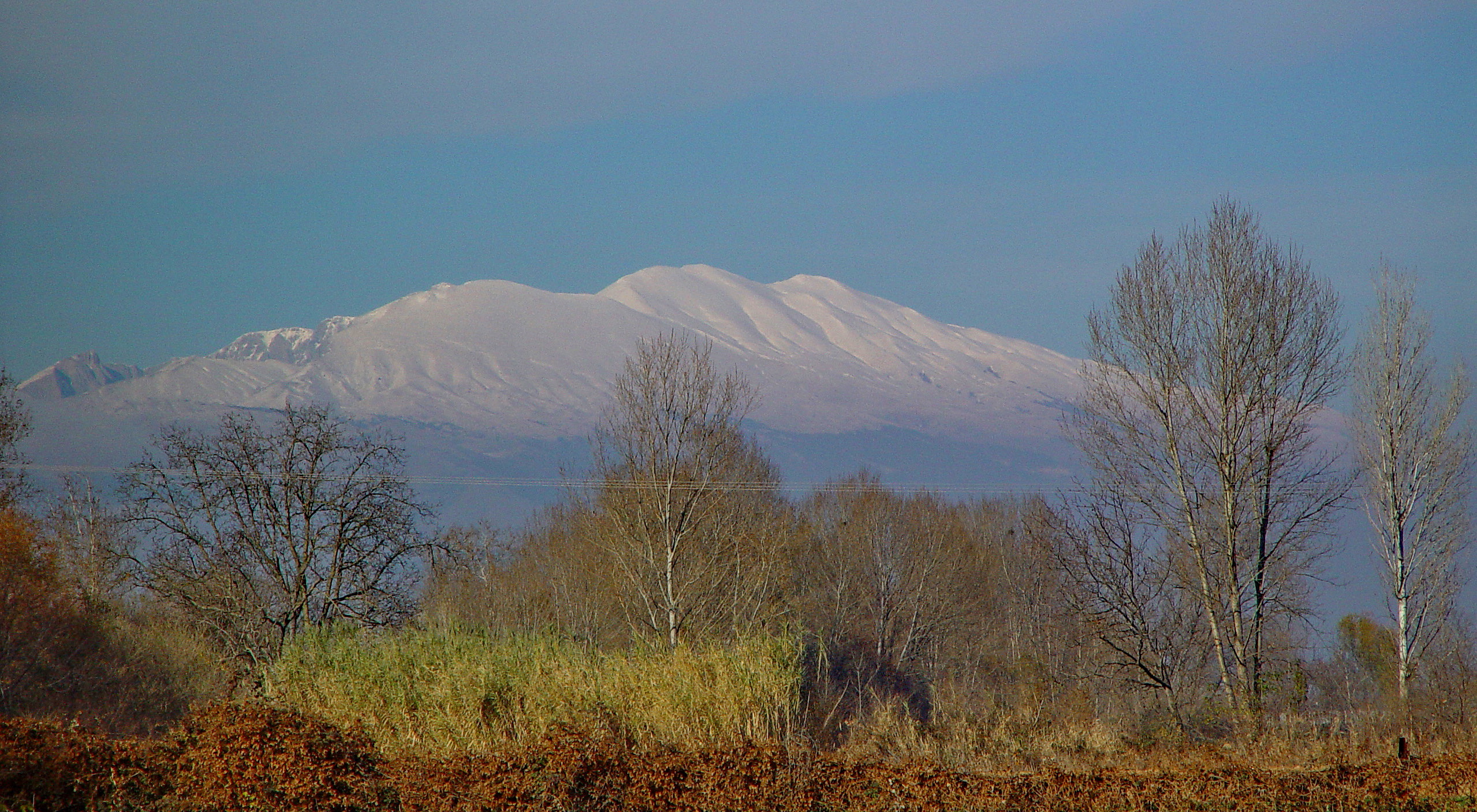
The Pangaion Hills are in northeastern Kavala, part of the region of Thrace in Greece, which stands at the mouth of the Struma River. Also known as the Pangaion Hills or Pangeo, their highest point, Mount Mati, reaches 1,956 m (6,417 ft). The Pangaion Hills are part of the Rhodope Mountains, forming a structural zone with Pirin.
To the south lies the Aegean Sea, and to the north are the plains of Philippi-Kavala, which further borders Bulgaria and Turkey. Positioned directly across a fertile plain from the ancient city of Philippi, they are located in the southeastern part of the Serres prefecture and the northwestern part of the Kavala prefecture of Greece, with its administrative center in Eleftheroupoli. The municipality of Pangaio was created in 2011 through the consolidation of five former municipalities: Eleftheres, Eleftheroupoli, Orfano, Pangaio, and Piereis.
Rolling hills and lush greenery characterize the mountains themselves. The summit provides stunning vistas of the surrounding areas and the Aegean Sea, making it a popular destination for hikers and nature lovers.
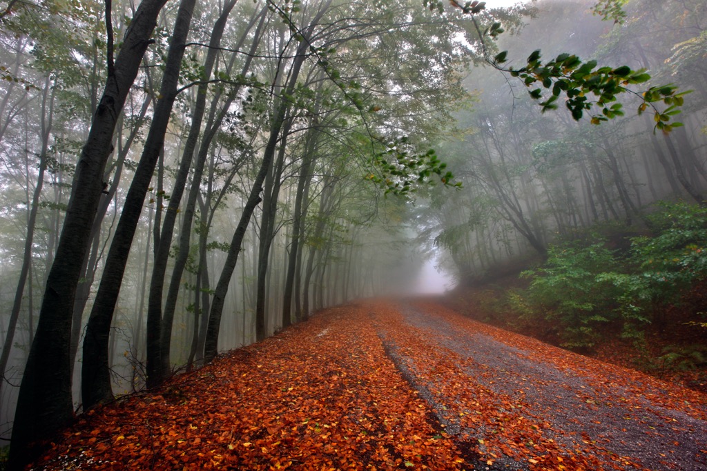
The deciduous forests are also known for autumn foliage, as well as the contrast of snow-capped peaks during winter storms.
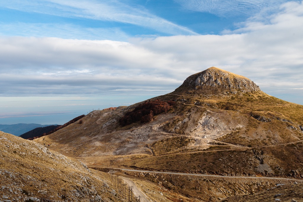
The Pangaion Hills in Greece feature a variety of limestone mountain landscapes, including mountain meadows, rockfaces, and canyons. The geological formation of Pangaion is primarily attributed to tectonic and alpine processes.
Pangaio is situated behind the Symbolo chain of hills by the Aegean Sea, surrounded by the fertile plains of Philippi-Kavala-Serres and facing the Rhodope Mountains to the north.
The upper slopes are characterized by fractured marble rock, with gold and silver mineral deposits at lower elevations. The Pirin-Pangaion zone, as it is known in geology, lies in the southwestern part of the Rhodope Massif.
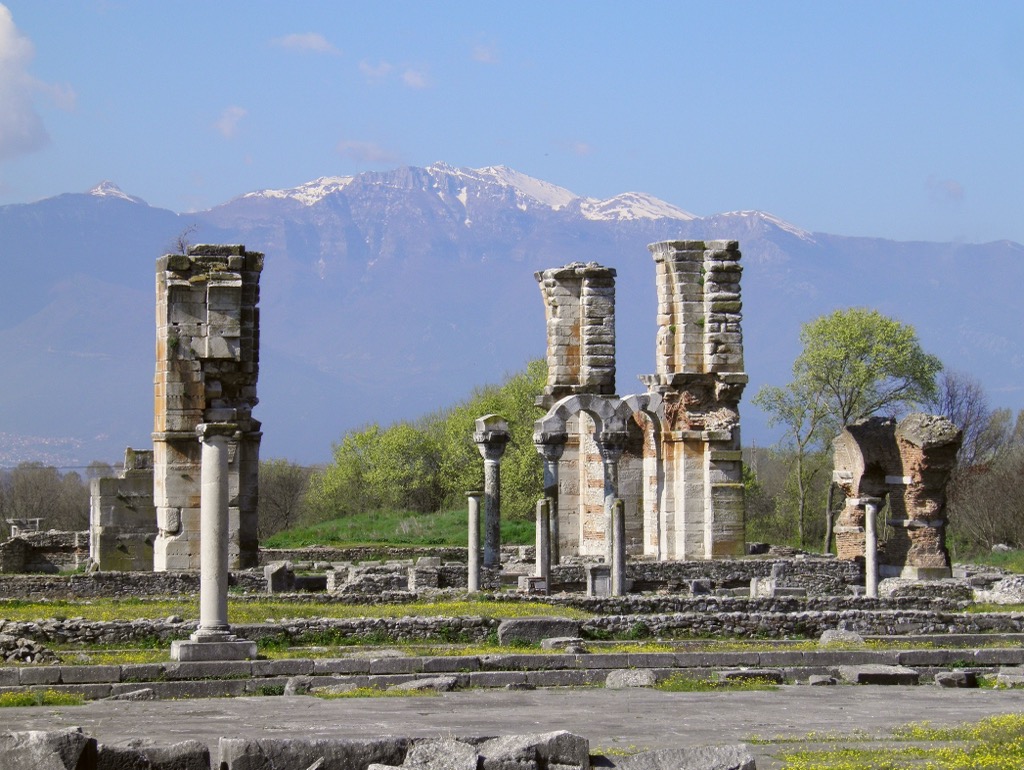
The hills stand directly across a fertile plain from the ancient city of Philippi. Positioned between the Strymon (Struma) and Xiropotamos Rrivers, these hills are adorned with oriental planes and chestnut trees.
Farmers grow tobacco, cotton, rice, olives, and more in the fertile plain. Meanwhile, with approximately 700 plant species recorded, some unique to this area, the Pangaion hills boast a diverse flora.
On the lower slopes, below 700 m (2,296 ft), you'll find kermes oak, Oriental hornbeam, prickly juniper, manna ash, wild pear, Christ's thorn, and various flowers, including several orchids. Higher up, there's a beech forest with species commonly found in central Europe, and above the tree line, alpine meadows adorned with numerous flowers.
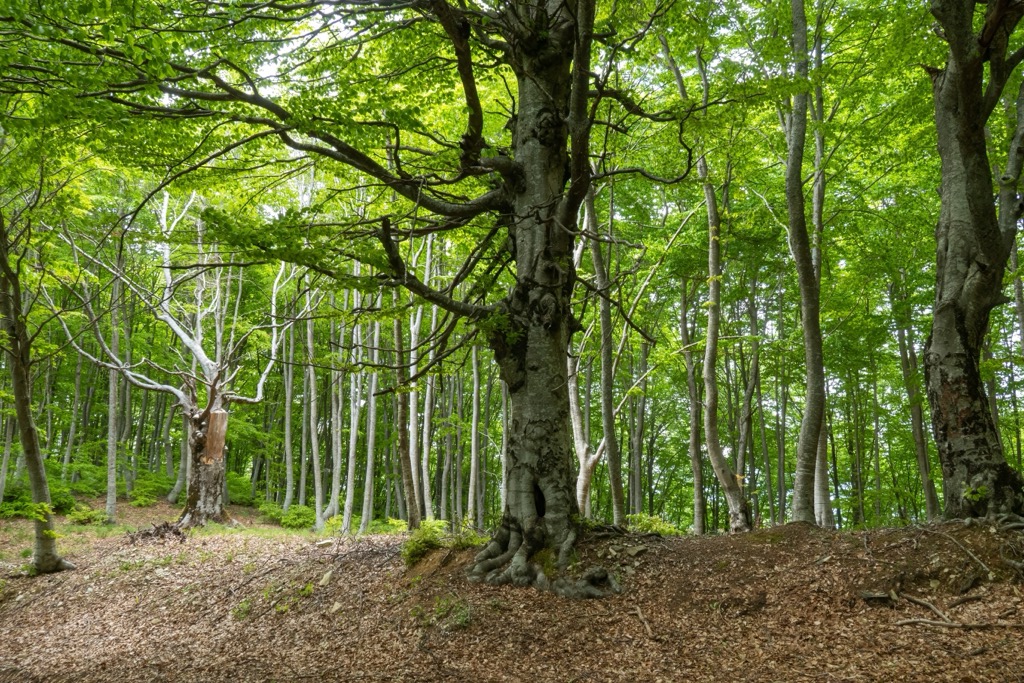
Rocky crevices host many rare or niche plants, while numerous bird species, including birds of prey, breed on the mountain. The Rhodope montane mixed forests terrestrial ecoregion and the Palearctic temperate broadleaf and mixed forest are two visible ecosystems here.
The Rhodope terrestrial ecoregion, found in Greece and Bulgaria, encompasses forests, scrublands, and grasslands. It is characterized by a blend of deciduous and coniferous forests with well-developed tree canopies, diverse soil types, and a plethora of plant and animal species.
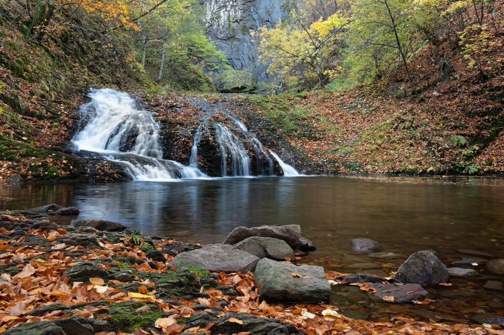
Ancient Greek and Latin sources frequently mention Pangaion, renowned for its silver and gold, shipyard wood, and the oracle of Dionysus. In fact, the Pangaion served as the sacred site for the cult of Dionysus. Mining was prevalent; the Thracians extracted gold and silver from the mountain, exchanging these metals for goods from the Amphipolitans and Neapolitans.
The Athenian tyrant Pisistratus was famously exiled in the middle of the mountain, presumably somewhere in a mine. In 465, the Athenians established a colony in the region known as the Nine Roads (Ennéa Hodoí), but it was abandoned after nearby Thracians massacred the colonists. However, the Athenians later returned with a colony at Amphipolis.
Excavations have revealed numerous findings, some of which are displayed in the Archaeological Museum of Amphipolis and the Archaeological Museum of Kavala. The area also contains the impressive Lion of Amphipolis, a tomb monument from the fourth century BC in honor of Admiral Laomedon.
The region faced continuous conflict due to its renowned wealth until Philip II of Macedonia took control in the fourth century BC. The Ottoman Turks referred to the hills as Pınar Dağ ("Spring Mount"), while the Slavic name is Kushnitsa (Кушница) or Kushinitsa (Кушиница).
On the mountain's east side, you'll find the monastery of Eikosiphoiníssis, housing ancient manuscripts, and the sixth-century church of Zoodochos Pighi. The area also features other monasteries, such as Axion Esti Monastery, Agios Dimitrios Monastery, and John the Baptist Monastery.
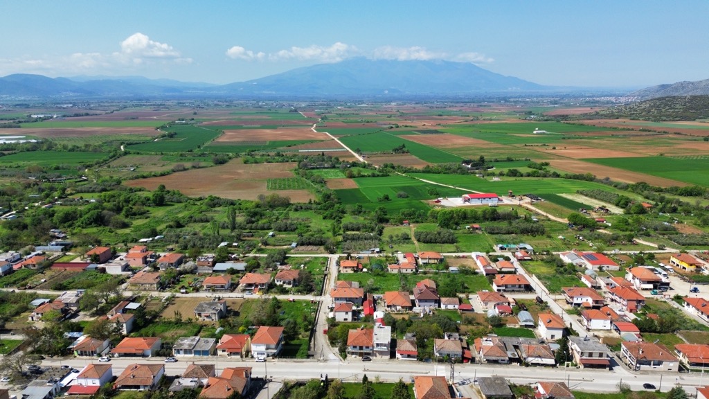
This is the 'trail to the castle ruins,' starting above the village and covering approximately 2 km (1.2 mi). You will enjoy views of the massif and the Drama Plain on the way.
Paleohori village offers visitors excellent restaurants with stunning vistas, serves as an ideal base for your hiking adventure, and can easily reach the nearby beach. If you wish to hike to the nearby castle, take the northern exit out of the village and head uphill.
To reach the summit of Mati Peak, take the southern road around the Pangeon from Elefteropolis, turning right in the next village toward Thessaloniki. Follow the road leading to the top of Pangeon for a rewarding hike. Various hiking trails are suitable for both leisurely walks and challenging hikes around here.
Although the peak is not attractive to backcountry enthusiasts due to its accessible road leading to television and telecommunication facilities, the surrounding mountains offer excellent hiking opportunities.
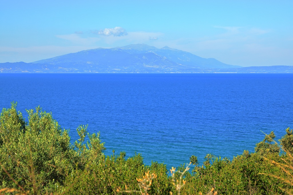
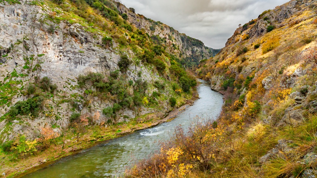
The impressive Aggitis Gorge is known for its vertical cliffs, which reach up to 80 m (262 ft) in height. According to legend, ancient Macedonians artificially created the gorge in an attempt to drain the ancient lake of Prasiada.
To access the gorge near the village Nea Mpafra, follow the road heading towards Drama. Turn left after the silos, and after about 3 km (1.8 mi), you'll reach a spacious parking lot on the gorge’s edge.
The gorge features petroglyphs dating back to the fifth century AD, depicting horsemen, wild animals, archers, and abstract designs. Parallel paths on both sides follow the gorge at its highest points. Approximately midway, a path descends to the riverbed, crosses the gorge through a bridge, and ascends to the Cave of Alistrati.
Situated along the picturesque coastline of northern Greece, Kavala is a charming city with a population of around 70,000. Historical landmarks include the medieval fortress and the Imaret, an Ottoman complex. Meanwhile, the sea is always nearby in this bustling port town.

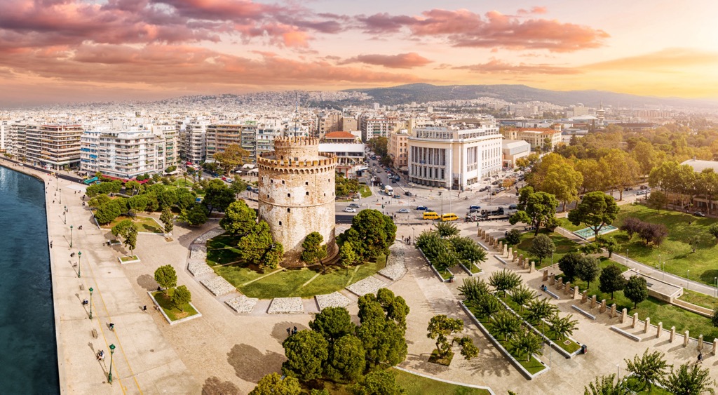
As the second-largest city in Greece, Thessaloniki is a bustling metropolis with a population of over 800,000. The city boasts landmarks such as the White Tower, the Rotunda, and the Arch of Galerius. It’s also a cultural hub hosting events like the Thessaloniki International Film Festival and a gateway to Mount Olympus and the beautiful Chalkidiki Peninsula.
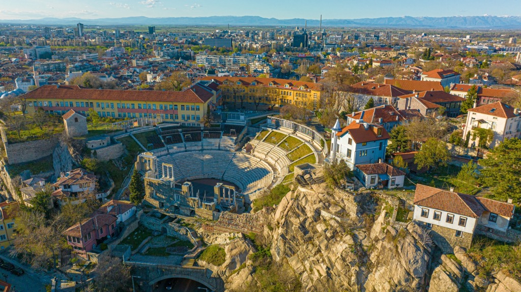
Plovdiv, one of Bulgaria's oldest cities, has a population of around 350,000. It is known for its well-preserved Roman amphitheater, cobblestone streets in the Old Town, and the Kapana district. The Rhodope Mountains, cousins of the Pangaion Hills, are also nearby.
Explore Pangaion Hills with the PeakVisor 3D Map and identify its summits.


