Get PeakVisor App
Sign In
Search by GPS coordinates
- Latitude
- ° ' ''
- Longitude
- ° ' ''
- Units of Length

Yes
Cancel
❤ Wishlist ×
Choose
Delete
The fame and renown of Olympus National Park stems from many sources. For one, it is the oldest national park in Greece, established in 1938, becoming the first of almost 30 to come. For another, it is the site of its namesake, Mount Olympus, perhaps the most notable mountain in Greece and the Mediterranean world as a whole, being the supposed home of the Greek gods, a site of great historical and archaeological importance, and the highest point in the country.
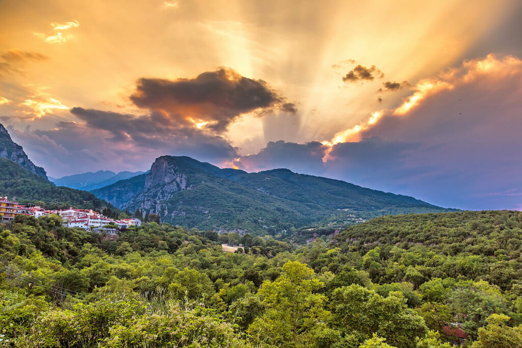
The park encompasses the many and varied peaks of Mount Olympus, with about 40 named mountains total in its bounds. The highest and most prominent of these peaks, which is also the highest point in all of Greece, is that of Mytikas, standing at 2,918m/9,573ft tall with a prominence of 2,353m/7,720ft.
Olympus National Park straddles the border between the regional unit of Larissa in Thessaly, its southern half, and the regional unit of Pieria in Central Macedonia, its northern half. It is near, but does not touch, the Gulf of Thermai on the Aegean Sea.
The Olympus mountain complex is separated from the nearby Voulgara massif through the Makryrema stream, one of many small rivers and streams, like the Enipeas river and Mavratza stream, that web through the lower altitudes of the park. Small lakes also pop up seasonally around these altitudes.
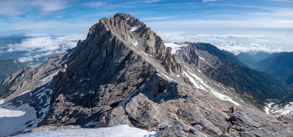
Within the mountain complex, Mount Olympus itself is separated from Lower Olympus (Kato Olympus) by the Ziliana gorge to the southeast, while the southwest is met with dry foothills.
The climate is continental Mediterranean, especially at lower elevations, which experiences typical Mediterranean hot, dry summers and cold, wet winters. Higher elevations experience greater variety and intensity in temperature, as well as far more precipitation year-round, including occasional snow.
From September to May, the mountains above 2,000m/6,500ft are permanently blanketed by snow, though snowfields remain in the glacial valley of Megala Kazania throughout the year.
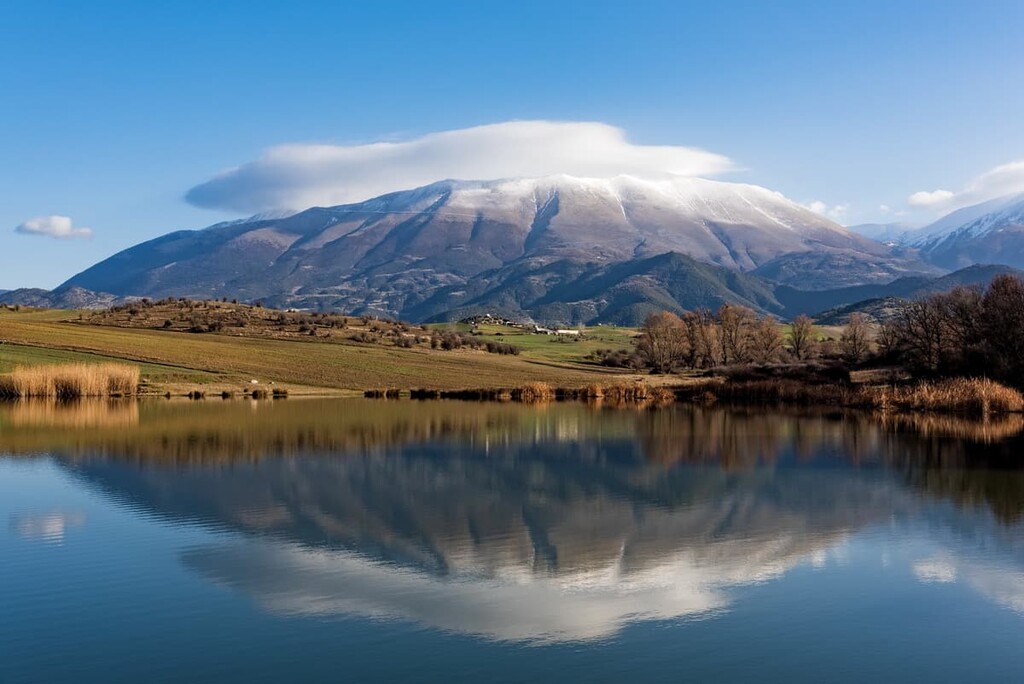
Precipitation also varies based on the location, as the northeast slopes that face the Gulf of Thermai typically receive more precipitation than the northwest slopes that face out onto the continent.
The composition of Mount Olympus is largely sedimentary rock, particularly Triassic, Jurassic, and Cretaceous limestone, with walls of limestone visible from years of erosion, and outcrops of granite and flysch in the southwest. Lower elevations consist of dense conglomerate arrangements and alluvial deposits, while higher elevations bear glacial and periglacial deposits.
The process behind the creation of the mountain is ambiguous and debated, but generally, Olympus formed from a variety of geological processes, like uplift, erosion, and deposition, that transformed the rocks that once laid over the sea millions of years ago into its now famous peaks.
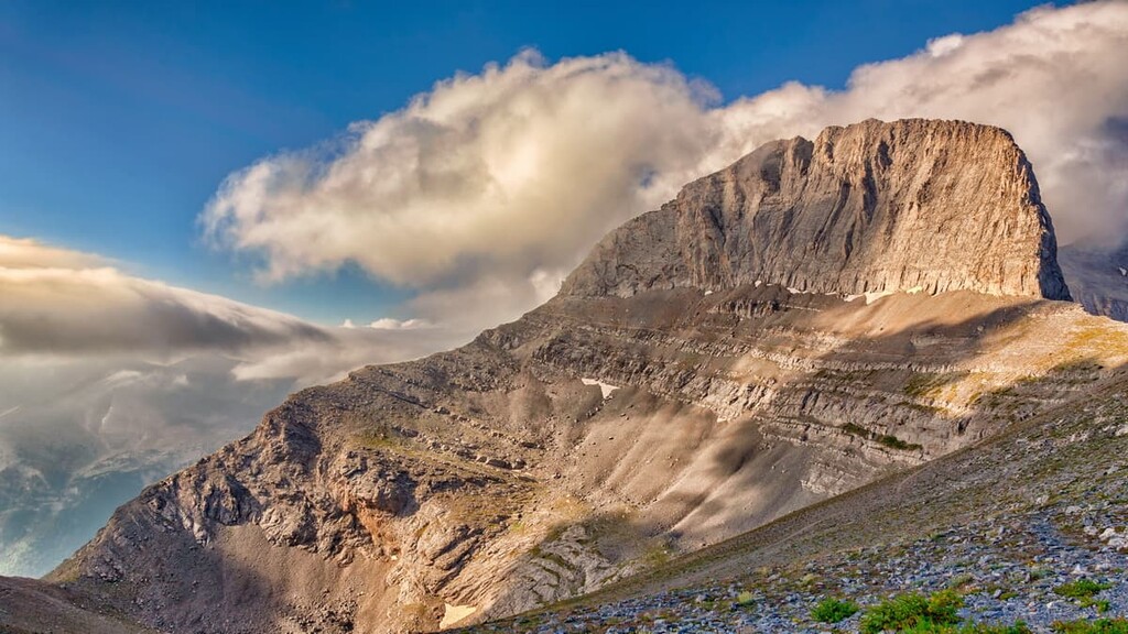
The canyons and gorges of the mountains are the result of climate cycles and glacial erosion, and differing levels of uplift likely explain the relative steepness, ruggedness, and intensity of the mountain’s northern section compared to the smooth and mild southern section.
The great variations in elevation allow for a variety of ecosystems and vegetation zones to flourish among Mount Olympus. At lower altitudes, shrubs and low-rising, broad-leaved evergreens like the holm and kermes oak, strawberry tree, juniper, as well as deciduous trees like the manna ash, European smoke tree, Judas-tree, and Montpellier maple tree. Less common are scattered Hungarian, sessile, and downy oak trees.
From 600m/2,000ft to around 1,400m/4,600ft are thick forests dominated by black pines and beech-fir, alongside populations of hazel, cherry plum, Bulgarian fir, wych elm, and many others.
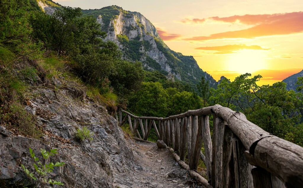
Even further, from around 1,400m/4,600ft to 2,500m/8,200ft, conifers like the Bosnian pine, better suited to the colder temperatures, appear in lieu of the aforementioned trees. Forests here are typically less dense, as the dry and rocky climate is more suitable for grasses, shrubs, and chasmophytes, plants that grow in the crevices of rocks.
Above these sparse conifer forests, the landscape turns to high alpine meadows and grasslands, complete with endless expanses of endemic and unique wildflowers. Some examples include potentilla deorum, lilium chalcedonicum, viola delphinantha, and fritillaria messanensis. Mount Olympus contains 26 locally endemic species, part of an estimated 160 plant species that are either endemic, rare, or otherwise protected.
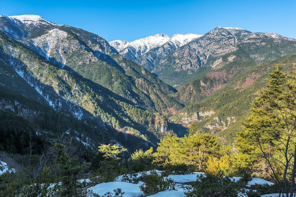
The last major type of vegetation community are defined not by elevation but by the presence of canyons and gorges and the rivers and streams that run through them, which support the life of white and gray willow trees.
As for fauna, the park is famously biodiverse, home to all sorts of unique, rare, and endemic species. About 150 bird species reside or stop by the park, with birds of prey like eagles, falcons, kestrels, hawks, and buzzards inclined to residing on steep mountain slopes, horned larks, wallcreapers, alpine accentors, and alpine choughs inclined to the high-altitude meadows, and woodpeckers, tits, northern goshawks, and booted eagles inhabiting the forests.
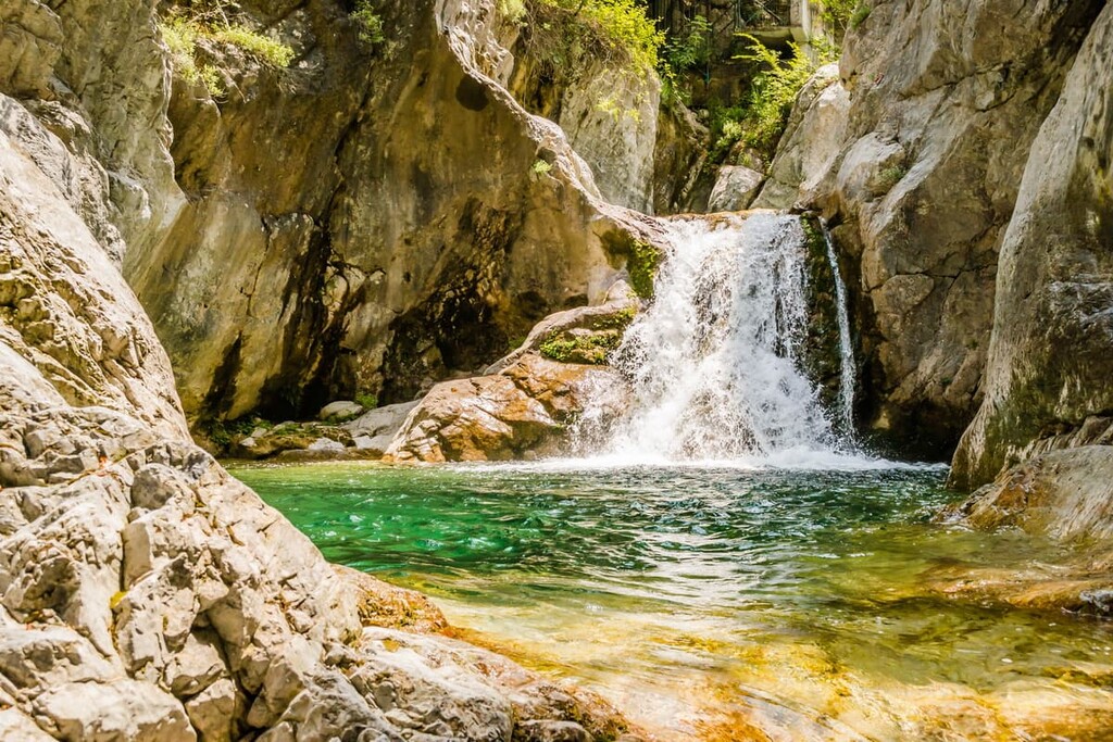
The dozens of species of mammals of Mount Olympus include Bakan mainstays like the roe deer, chamois, wild boar, red fox, red squirrel, beech marten, and wildcat. Less common but appearing occasionally are big carnivores like wolves and brown bears, and the area is also home to many bat species.
In lower altitudes, dozens of amphibian and reptile species can be found, including Hermann’s tortoise, the marginated tortoise, the dice snake, the agile frog, the Macedonian crested newt, and the European copper skink.
Mount Olympus’ significance in ancient Greek history comes in part from its location as the border between Thessaly and Macedon, which would play a role in the rise to power of the Kingdom of Macedon under Philip II in the 300s BC and the many conflicts the Macedons engaged in during the next few centuries, like the Chremonidean and Macedonian Wars.
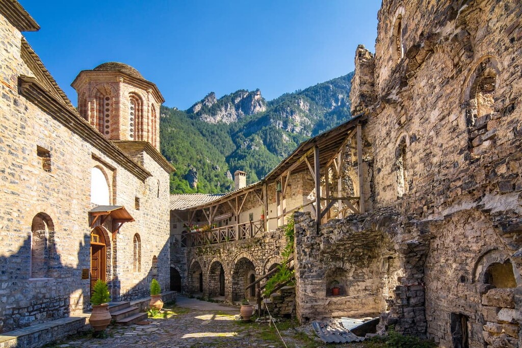
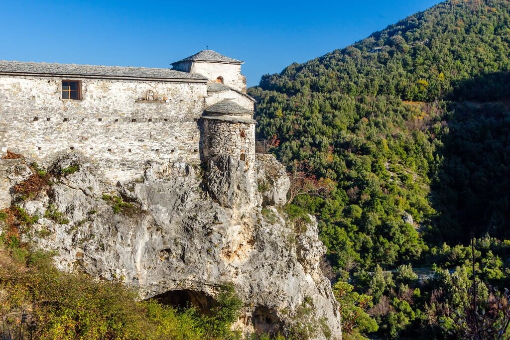
During the Byzantine era, many Orthodox monasteries and churches were built among its slopes, as the Olympus region experienced Christianization fairly early and rapidly. Construction of monasteries, chapels, and churches continued long after the fall of the Byzantines as well.
When the area came under Ottoman rule, Mount Olympus became known as a hiding place for Greek insurgents, known as “klephts,” and Greek militias who once worked for the Ottomans but eventually rebelled against them, known as “armatoloi,” with the two groups banding together to fight the Ottomans in the Greek War of Independence.
And when the Germans invaded in 1941, Olympus took on a similar role yet again, with Greek forces finding refuge in the canyons and peaks of the mountain, which became a center for the Greek Resistance.

Just as important as the human history of the park is the mythological history that surrounds its great mountains. According to Greek mythology, Mount Olympus was the home of the famous Twelve Olympians, the most famous gods in Greek lore. They met atop Mount Olympus on the aforementioned tallest peak of Mytikas, known as the “Pantheon.”
It is believed that, in ancient times, Greeks performed many ceremonies and rituals on Mount Olympus, owing to its great significance to their religion and culture. Coins, pottery, and marble inscriptions have been found throughout the mountain, supporting this conviction.
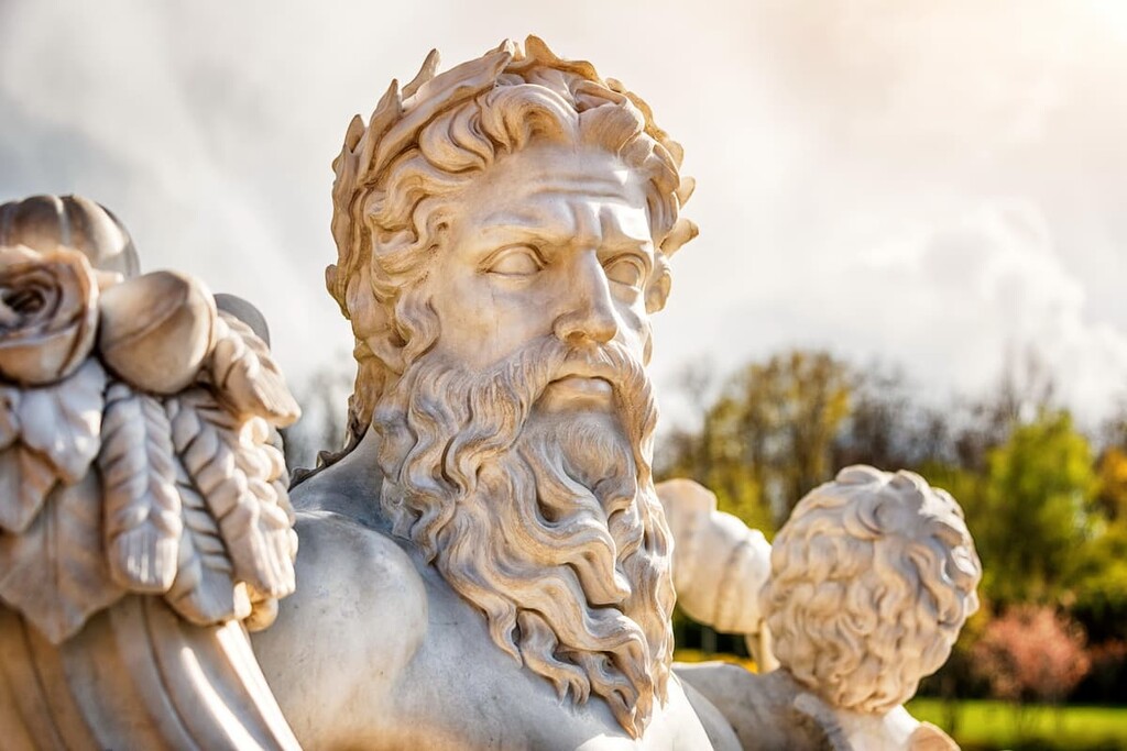
There are numerous hiking routes available for those who wish to experience the grandeur of Greece’s most famous mountains.
From the nearby town of Litochoro are two notable routes, one to Prionia, where the springs of the Enipeas River is located, and the other a circular route back to Litochoro. The latter, Litochoro - Golna - Kastanas Spring - Litochoro, is an easy 8.2km/5.1mi trail with great views of some of Olympus’ most dramatic peaks.
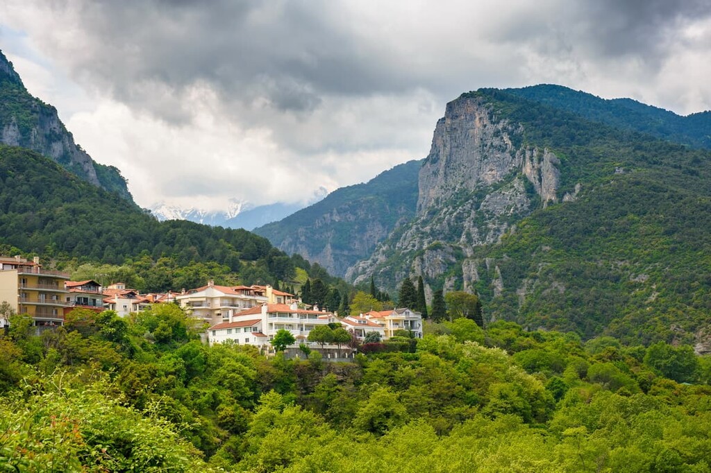
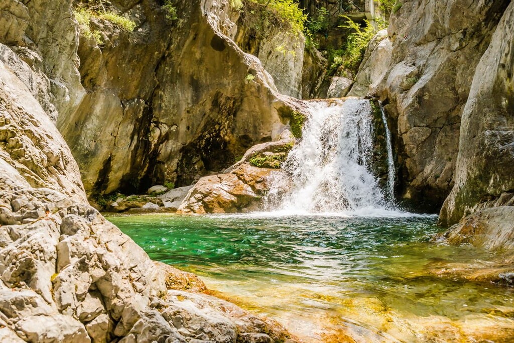
Litochoro - Prionia is a 9km/5.6mi trail of medium difficulty and no shortage of wonderful sights, from the wood bridges over the Enipeas canyon to the Agios Dionysios Monastery to the waterfalls to the views of the town as you ascend into the park’s thick mountain forests.
There are several trails that begin from the Spilios Agapitos Refuge, one of the park’s biggest and most popular refuges. The Spilios Agapitos Refuge - Skala - Mytikas trail is a medium difficulty 3km/1.9mi trail that leads to the park’s tallest peak, with steep stretches and amazing views from atop Olympus’ bare and rugged spine.

Another route from the refuge to Mytikas is the Spilios Agapitos Refuge - Louki - Mytikas trail, which is about the same length but considered to be more difficult as it winds along especially steep and rugged terrain.
The last major route is the Spilios Agapitos Refuge - Muses Plateau trail, a difficult 3.8km/2.4mi hike to the scenic summit of the Muses Plateau.
At the Xerolakki stream, three major trails can be found, all considered to be fairly difficult. The most difficult is the 5km/3.1mi Xerolakki - Naoum Stream - Muses Plateau trail, which requires paying special attention as one traverses the high and rocky alpine landscape, though with plenty of beautiful views along the way as well.
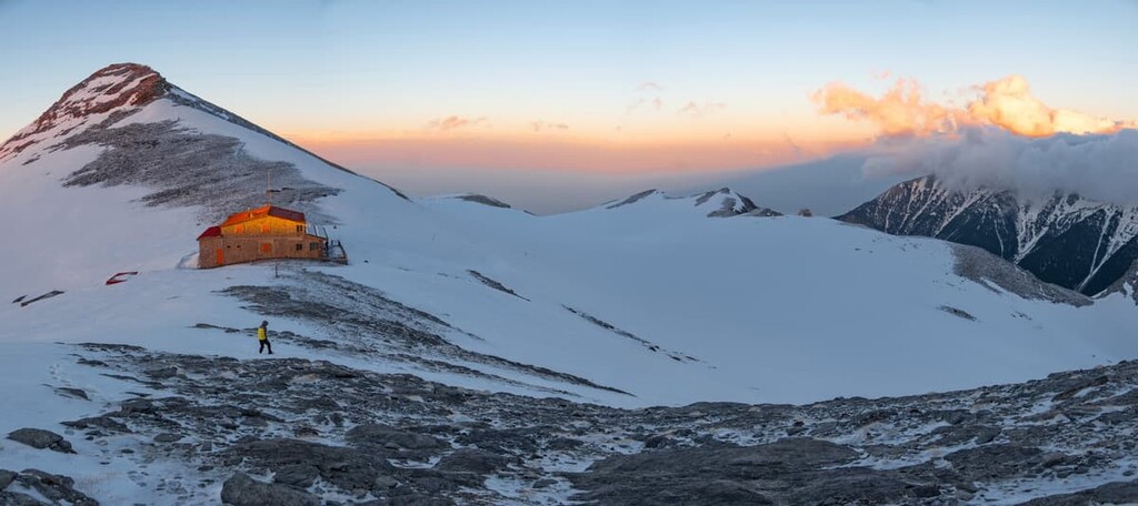
With a similar length, difficulty, and the same start and end point is the Xerolakki - Vrysi Karaiskini - Papa Rachi - Muses Plateau trail, running alongside streams and through pristine forest and springs.
The Xerolakki - Megali Gourna trail is longer, at around 7km/4.4mi, but of slightly lesser difficulty, which ascends from the green forest to the sparse and beautiful Megali Gourna valley and the stone refuge within it.
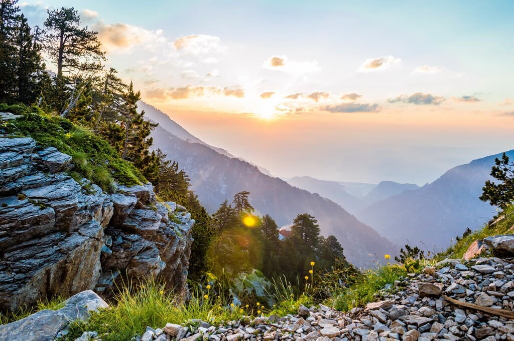
To arrive at the aforementioned Spilios Agapitos Refuge, one may take the 4.5km/2.8mi route from Prionia, a medium difficulty walk through forests of aged pine and fir trees, the mountains always looming overhead.
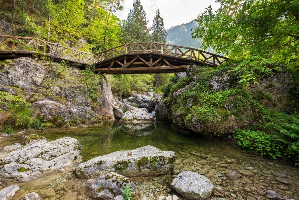
There is also the Prionia - Agio Spilaio - Agios Dionysios Monastery trail, an easy 6km/3.7mi hike that cuts through waterfalls and some of the most vivid emerald forests and hills en route to the centuries-old Agios Dionysios Monastery.
From the archaeologically rich village of Kokkinopilos are two longer trails, the Kokkinopilos - Kitros - Xerolakki and the Kokkinopilos - Megali Gourna - Skala. Kokkinopilos - Kitros - Xerolakki, a medium difficult 9km/5.6mi trail with cinematic tableaus of the high Olympus peaks along the way.
The 12km/7.5mi Kokkinopilos - Megali Gourna - Skala trail, also of medium difficulty, traverses through the Stalamatias Gorge on its way to the alpine plateaus and meadows of Megali Gourna and the bare peaks of Skolio and Skala.
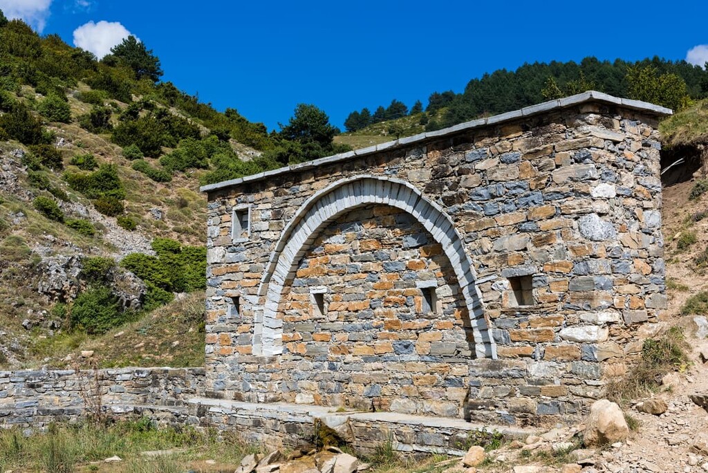
One of the most extensive single routes in Olympus is the Gortsia - Petrostrouga - Muses Plateau trail, a 13.4km/8.3mi hike that blends verdant forest and sparse alpine terrain. Ancient Bosnian pine trees, quaint refuges, and pictures of the park and surrounding landscape of Greece atop the trail’s many plateaus and lookouts add to the grandeur of the hike.
Alongside those already mentioned, there are many other notable hiking spots among the mountains as well, all coming together to form a network of trails that lead to all the mountain’s most beautiful and famous sights. These include:
About three hours northeast of Mount Olympus is Greece’s second largest city of Thessaloniki, a cultural and commercial hub with around 1,000,000 people living in its metropolitan area. The city boasts many of Greece’s most famous festivals, like the Thessaloniki International Fair and the Thessaloniki International Film Festival, contributing to a vibrant artistic and cultural scene throughout the year.
As an incredibly important seaport city for the Byzantines and Ottomans, the city is aflush with Byzantine and Ottoman walls, churches, mosques, bathhouses, towers, and various archaeological sites, with some sites dating back even further. Many museums, like the Archaeological Museum and the Museum of Byzantine Culture, offer further opportunities to experience Thessaloniki’s vast history.
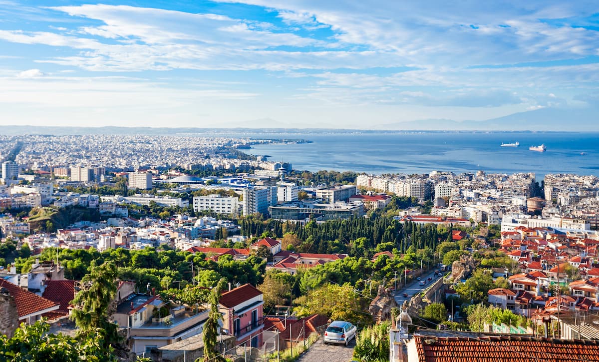
Of course, Thessaloniki is a lively and living city as well, operating some of the country’s most notable theatres and orchestras, major shopping streets and commercial areas like Tsmiski Street, and a famously spirited nightlife scene. Cafés, bars, and restaurants line Thessaloniki’s scenic waterfront, busy streets, and historic quarters like the Old City , where they intermingle with colorful traditional architecture and bustling markets.
Public transport inside the city is limited to the bus system, with a metro system current under construction. For movement in and out of the city, there is a commuter rail service that goes to Larissa, on the other side of Mount Olympus, as well as Thessaloniki International Airport, a massive passenger ferry system, and the Greek highway system.

Two hours south of Mount Olympus is the city of Larissa, where the modern cityscape is backdropped by towering mountains and archaeological gems exist alongside cosmopolitan shopping streets and a lively culture of nightlife and cafés. Like Thessaloniki, Larissa’s public transportation is mainly staffed by a city bus system, with highways and the commercial railroad available for movement in and out.
Larissa was a significant polis during Greece’s Classical Era and continued in significance throughout the Byzantine and Ottoman reigns, which has imprinted itself into the fabric of the city. Ancient Greek theatres, the first one still remarkably well-intact, Ottoman mosques and markets, and Byzantine basilicas give the city its historical character, as well as the many museums devoted to Greek archaeology and culture.
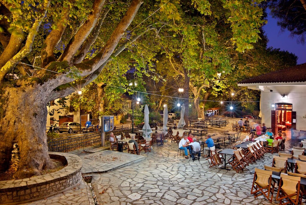
The city sits within reasonable proximity of many of Thessaly’s greatest sights, including, of course, Mount Olympus, one of many mountains that encircle it. Stunning beaches, evergreen parks, and vast Thessalian plains are all within reach, making Larissa a worthwhile location for those looking to explore the region.
Explore Olympus National Park with the PeakVisor 3D Map and identify its summits.


