
Scan the QR code and open PeakVisor on your phone
New England Botanic Garden at Tower Hill has 1 named peak. The highest is Tower Hill at 189 m.
One of the oldest public botanic gardens in Massachusetts called Tower Hill Botanic Garden is getting a new name this year. Now this place, whose history began back in 1842 when 24 professionals, merchants and public officials staged a fruit and flower display, is called New England Botanic Garden at Tower Hill.
The only high point of the garden is Tower Hill, a peak that has an elevation of 180 metres. Tower Hill is situated nearby Belvedere Overlook, and close to Folly.
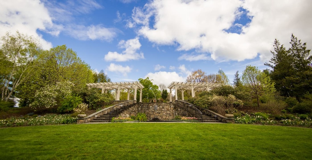
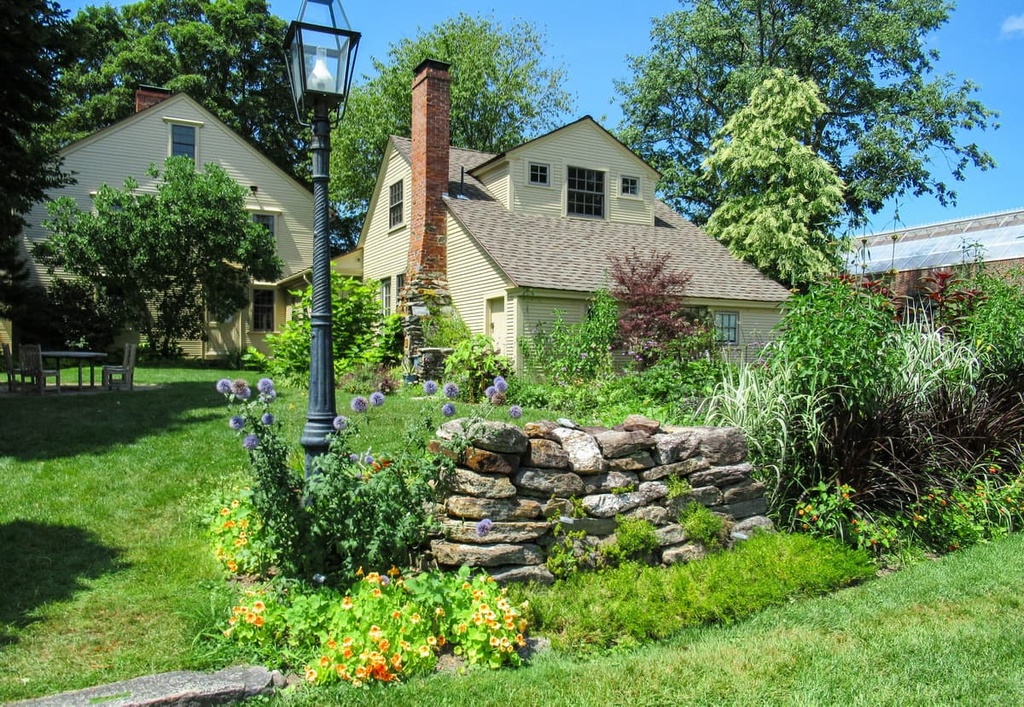
The 171 acres Garden is a nonprofit organization located at 11 French Drive in Boylston, Massachusetts. It is operated by the Worcester County Horticultural Society. The New England Botanic Garden at Tower Hill is actually home to 17 distinct gardens and preserved woodlands. One of the most notable of which is the Harrington Apple Orchard which displays the Davenport Collection of heirloom apples, with 238 apple trees representing 119 pre-20th century heritage apple varieties.
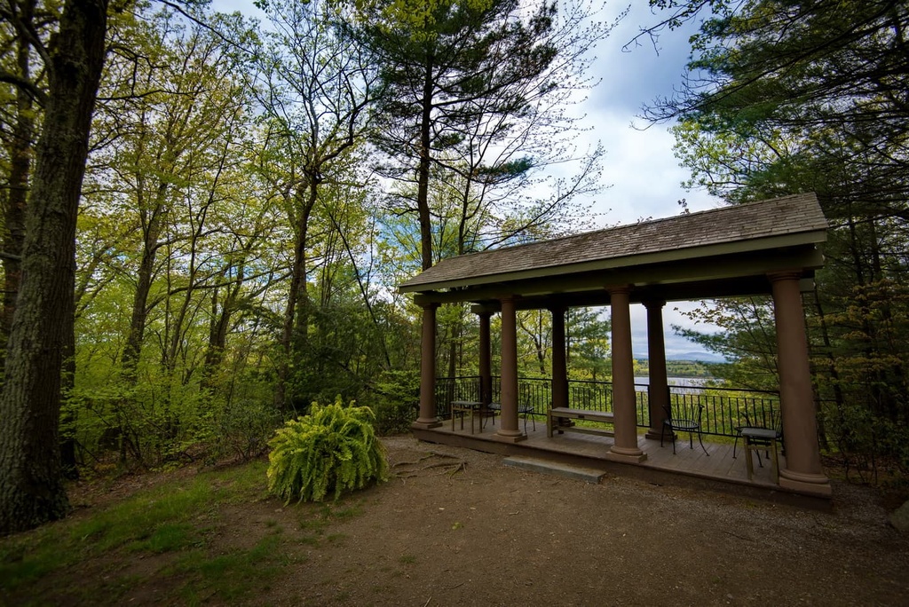
The Garden is open to the public for garden viewing, trail walking, private events, educational classes, weddings, exhibitions, and more. Dogs are welcome, but must be on a leash. It also has an AAM-accredited museum that includes an irreplaceable collection of plants. Honestly, if you are interested in growing plants, this is a must-visit destination to engage in horticulture and develop a life-long passion for growing plants for their ornamental, economic, and ecological value.
In the Garden Shop you can pick a carefully selected array of botanic-themed gifts. If you are hungry, drop to Farmer and Fork Café which offers delicious food with an emphasis on seasonal ingredients. It's a must-see destination all ages can enjoy together.
In addition to launching the new name in April 2022, the New England Botanic Garden at Tower Hill has implemented the following changes on-site:
These innovations go according to the 50-year Master Plan for the Garden set by the Worcester County Horticultural Society in 1986.


The highest peak in New England Botanic Garden at Tower Hill is Tower Hill, at 189 m.
Notable peaks in New England Botanic Garden at Tower Hill include Tower Hill.


