
Scan the QR code and open PeakVisor on your phone
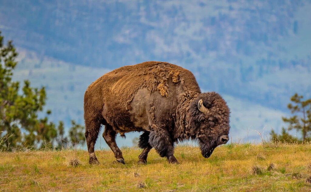
Located in the Flathead Indian Reservation in western Montana, the National Bison Range is an 18,800-acre National Wildlife Refuge that has helped facilitate the revival of plains bison populations for over 100 years.
In the 1870’s, long before the establishment of the refuge, dwindling bison populations prompted a Qlispe Tribal member to bring several bison calves over the Continental Divide to the Flathead Indian Reservation for conservation.
In the early 1900’s, the National Bison Range was established through cooperation between the American Bison Society and President Theodore Roosevelt to support efforts to preserve the species. The establishment of the refuge marked the first time that tax dollars were allocated to buy land specifically with the intent to conserve wildlife.
In 1909, the first herd of bison, purchased with funds raised by the American Bison Society, was brought to the Range and in 1921, the area was further designated “as a refuge and breeding ground for birds.” Today, 200 species of birds and 250-300 bison inhabit the refuge.
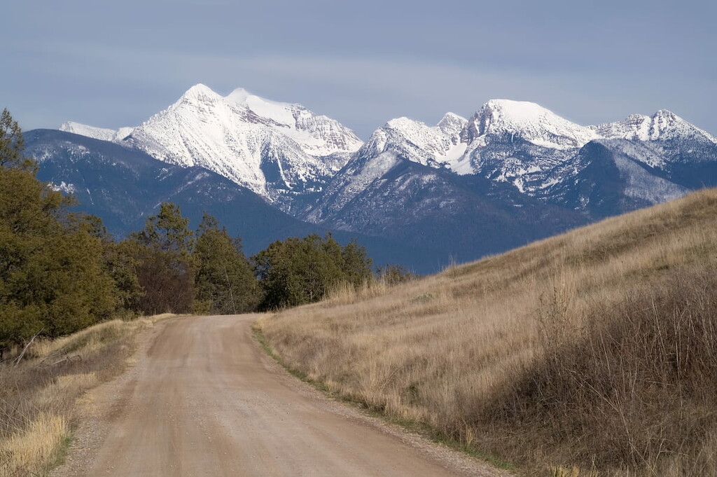
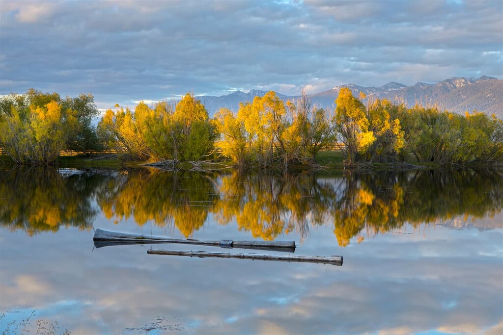
Three major geographic features merge in the National Bison Range: The Mission Valley, Mission Mountain Range, and Jocko River Valley. The Range is effectively a small, low-rolling mountain connected to the Mission Mountain Range.
Once partially buried beneath prehistoric Glacial Lake Missoula, the region was formed by historic glacial activity and is characterized by moderate to high mountains and broad intermountain valleys. The region’s glacial history has also had a significant influence on the landforms of the Flathead Valley. Bedrock in the National Bison Range is often exposed, forming ledges, outcroppings, and talus slopes.
Elevations in the Range vary from 2,585 feet to over 4,800 feet at High Point on Red Sleep Mountain. Grasslands, wetland, and riparian vegetation dominate the region’s lower elevations, while mixed-conifer forest can be found at higher elevations. Grassland communities cover more than half of the National Bison Range and form one of the largest remaining tracts of bunchgrass prairie in the country.
In addition to sustaining a healthy population of bison, the National Bison Range supports populations of elk, mule deer, white-tailed deer, and bighorn sheep. Black bear, mountain lion, bobcat, badger, and the occasional wolf are also year-round residents of the refuge.
Though the primary goal of the National Bison Range is to preserve the diverse habitats of the inter-montane ecosystem of western Montana, the reserve also allows visitors to view wildlife, hike, and learn about the area. Birding, photography, and fishing are also popular in the Range.
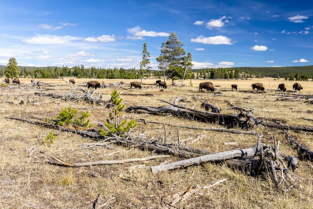
Understandably, the most popular activity in the National Bison Range is wildlife viewing. Generally, dawn and dusk are the best times to see wildlife. The visitor center offers plenty of helpful tips to increase your chances of seeing wildlife while in the refuge.
One of the easiest ways to spot wildlife is via a number of scenic roadways in the region. The West Loop, Prairie Drive and Red Sleep Mountain Drive all offer unique opportunities to observe bison and other local wildlife. Two hiking trails can also be found along Red Sleep Mountain Drive.
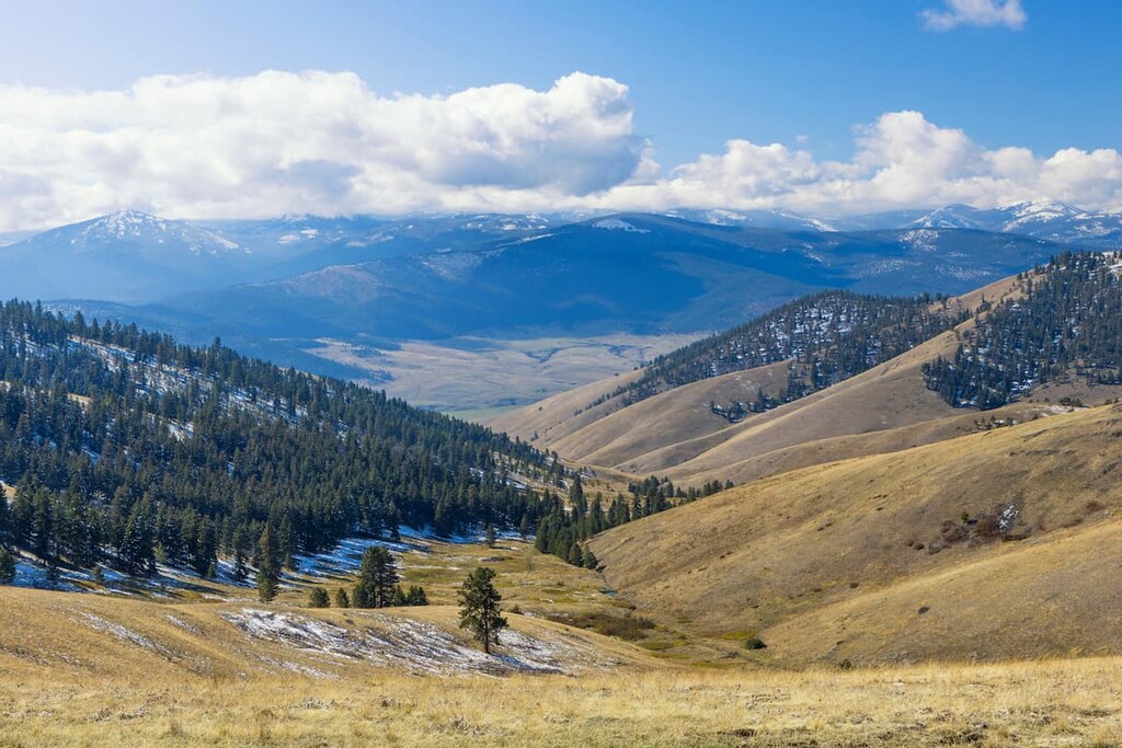
Visitors can also hike to the highest point of the Refuge via the 1-mile round trip High Point trail. The trail begins at the Geology Display, which offers a background on the Glacial Lake Missoula. This short and steep trail boasts some of the best views in the area.
Centrally located between the National Bison Range, Glacier National Park, and Flathead Lake, the Ninepipes Lodge offers travelers a ‘true Montana travel experience.’ The lodge boasts a scenic outdoor deck overlooking the Mission Mountains, modern amenities, and a restaurant.
Just east of the Idaho-Montana border, Missoula lies at the convergence of five mountain ranges and is known as the “hub of five valleys.” The second largest city in Montana, Missoula is known for its access to popular outdoor recreation areas, including 22 miles of trails and 5,000 acres of conserved open space within the city itself. The city also lies at the confluence of the Clark Fork, Bitterroot, and Blackfoot rivers, making it a popular destination for white-water rafting.


