
Scan the QR code and open PeakVisor on your phone
Nakina – Inklin Rivers/Yáwu Yaa Conservancy has 10 named peaks. The highest is Peridotite Peak at 1,951 m. Other notable peaks include Chikoida Mountain, Nimbus Mountain and Sinawa Eddy Mountain.
Established in 2012, the Nakina-Inklin Rivers/Yáwu Yaa Conservancy protects roughly 413,000 acres of the asserted traditional territory of the Taku River Tlingit First Nation.
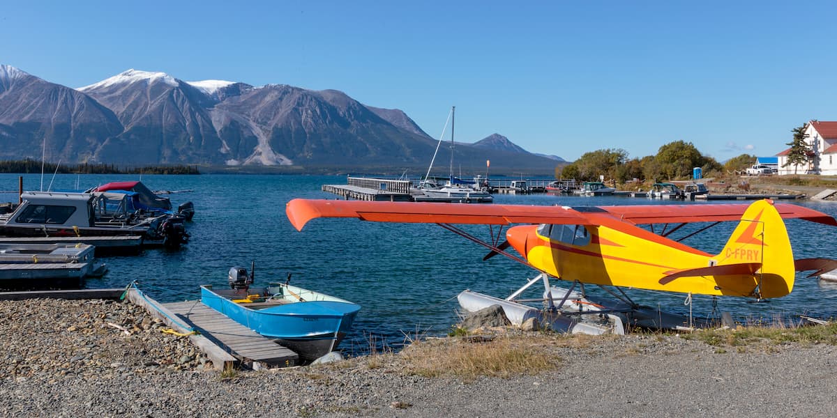
The conservancy is located approximately 43 miles south of Atlin, a small community that lies on the eastern shore of Atlin Lake in northwest British Columbia, and was named after a well-known Tlingit marker, Yáwu Yaa, or “face of the mountain,” which lies at the confluence of the Inklin and Nakina Rivers.
The Nakina-Inklin Rivers/Yáwu Yaa Conservancy was established as a result of the Wóoshtin Wudidaa Atlin Taku Land Use Plan and Taku River Tlingit First Nation Strategic Engagement Agreement. Part of a large network of contiguous protected areas, the Nakina-Inklin Rivers/Yáwu Yaa Conservancy protects high value fish and wildlife habitat, as well as several critical cultural sites.
The conservancy protects the mainstem of the Inklin River and is bounded by Atlin Park to the northwest, the Taku River protected area to the west, and the Upper Gladys River protected area to the northeast. The Inklin River flows northwest into the head of the Taku River and contains significant populations of steelhead and bull trout, as well as five species of salmon. The Inklin is also a popular river for commercial rafting.
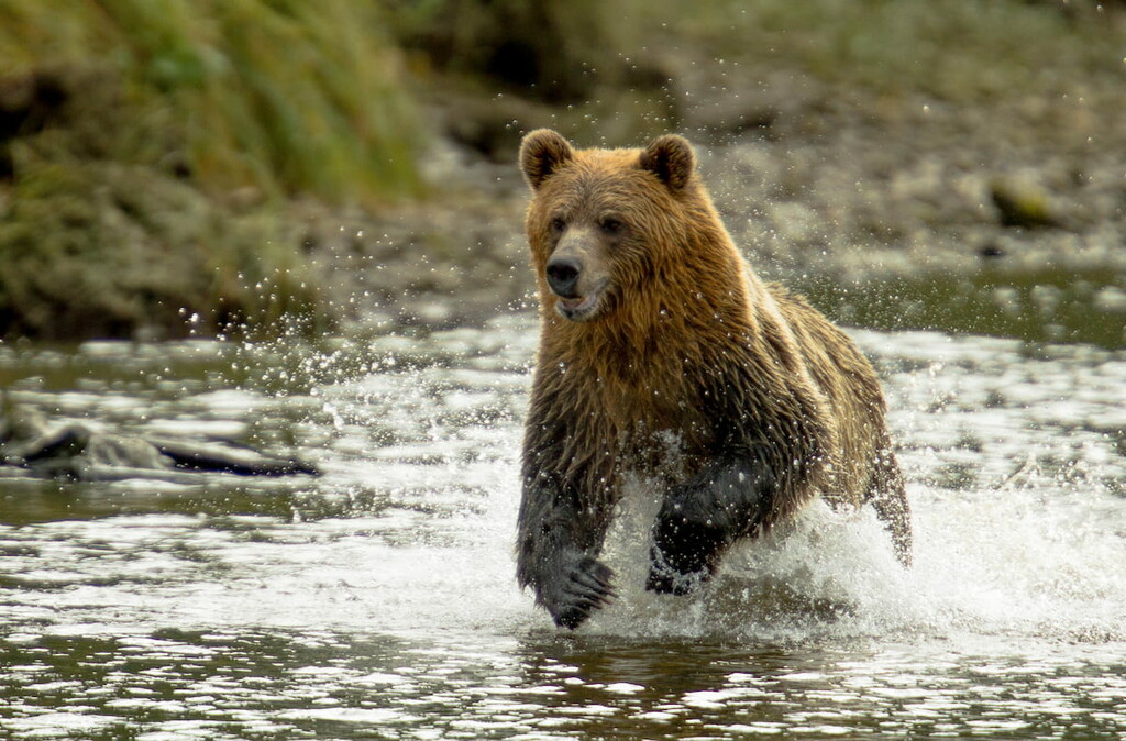
The floodplain of the Inklin also serves as a sensitive ecosystem and serves as an important habitat to moose, mountain goat, sheep, and grizzly bear. Other wildlife in the area includes bald eagles, pine martens, and the occasional wolf.
Several important cultural sites lie within the Nakina-Inklin Rivers/Yáwu Yaa Conservancy, including grave sites and archaeological sites. Remnants of the largest Tlingit village, as well as other important villages, battle sites, hunting camps, cabins, and markers can be found in the area.
The primary goal of the conservancy is to maintain the remote wilderness quality and character of the protected area. However, this untamed landscape can be reached by air and is open to backcountry hiking and wilderness camping.
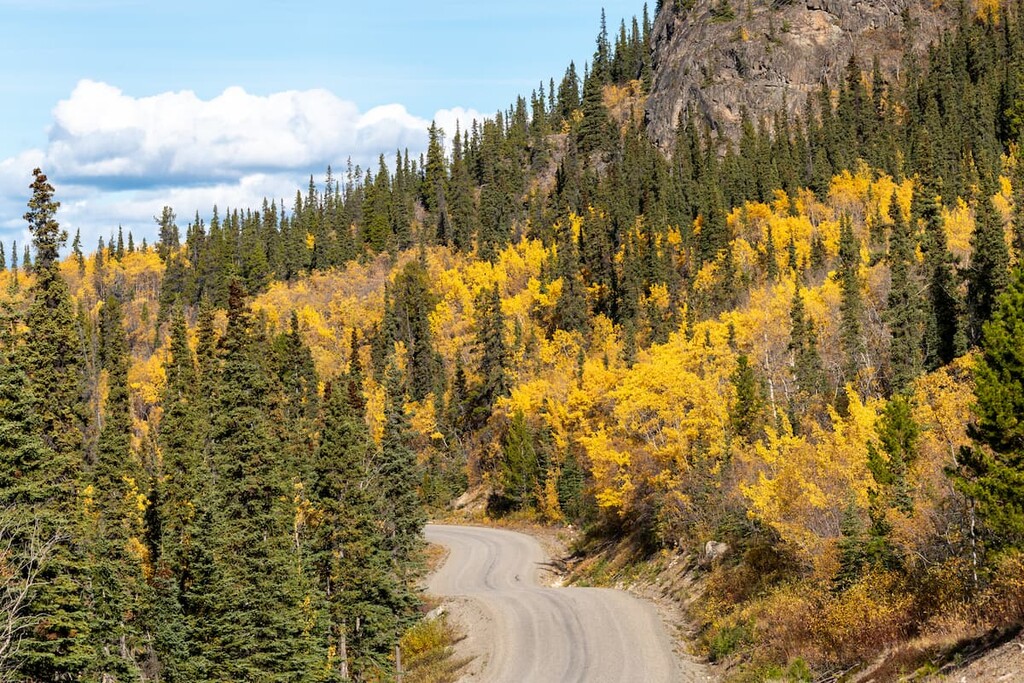
An extensive trail system connects the Taku River and its main tributaries to the Teslin and Yukon watersheds. This includes the Nakina trail, which connects the Tlingit village at Canoe Landing to the Atlin area through Kuthai Lake.
The Nakina trail is the only remaining overland route from the interior boreal plateau into the Taku River Watershed and is of great cultural significance to the Taku River Tlingit First Nation. The trail begins at Kuthai Lake, south of Atlin, and leads to the confluence of the Nakina and Sloko Rivers. Hikers generally park at the O’Donnell, ford the river, and hike along an ATV track to Kuthai Lake.
Just a short helicopter ride from Atlin, Grizzly Bear Camp offers unparalleled opportunities for bear viewing. The camp, which was designed specifically with bears in mind, is described as ‘an open-air classroom on bear behavior.’ Up to 60 bears have been counted in a single season at the camp and are often observed hanging out on cabin porches or nearby sites. Cabins at the camp are furnished with twin or double beds, a wood burning stove, and LED lighting. Nakina Adventures is the longest standing grizzly bear viewing business in British Columbia and guides visitors to this incredible camp every year.
Atlin is a small, isolated community tucked in the northwest corner of British Columbia. The community is located on the traditional lands of the Taku River Tlingits and is home to just 300 to 500 permanent residents. Atlin was once an important gold mining center and remnants of the gold-mining era can still be found scattered throughout the community. Surrounded by incredible, pristine wilderness, and impressive snow-capped summits, Atlin offers plenty of epic outdoor recreation options.


The highest peak in Nakina – Inklin Rivers/Yáwu Yaa Conservancy is Peridotite Peak, at 1,951 m.
Notable peaks in Nakina – Inklin Rivers/Yáwu Yaa Conservancy include Peridotite Peak, Chikoida Mountain, Nimbus Mountain, Sinawa Eddy Mountain and Mount McMaster.


