Get PeakVisor App
Sign In
Search by GPS coordinates
- Latitude
- ° ' ''
- Longitude
- ° ' ''
- Units of Length

Yes
Cancel
❤ Wishlist ×
Choose
Delete
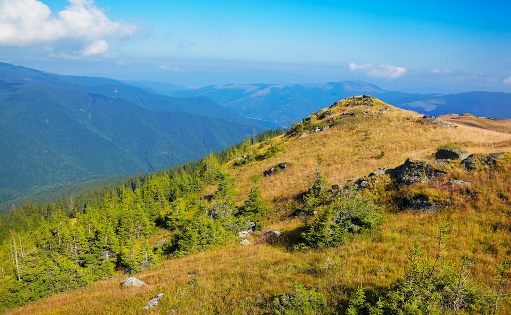
The Țarcu Mountains of Romania are known as the shepherding mountains. The range showcases mountain pastures, forests, skiing, and wildlife. They may not be as jagged or glaciated as the Alps, but this region offers far more untouched wilderness than its western neighbors. There are 50 named mountains in Munții Țarcu; Căleanu (2,196 m / 7,205 ft) is the highest, while Muntele Mic (1,807 m / 5,928 ft) is the most prominent.
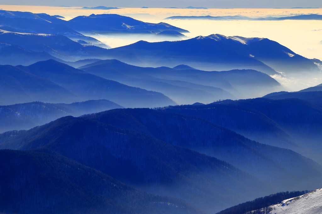
The Țarcu Mountains are part of the Southern Carpathians, forming a triangle shape in the northwest of this range. The Rece River valley forms the sides, continuing through the Șes River valley and the Răului Mare valley. The highest peaks, like Căleanu, Țarcu, and Pietrii, range from 2,162 m to 2,196 m (7,094 ft to 7,204 ft).
Four main massifs are inside the range: Țarcu-Căleanu, Baicu-Nedeia, Pietrii-Petreanu (also called Bloju), and Mount Mic. These are divided by valleys, including Țuculeț and Bistra Mărului.
The Țarcu Mountains can be reached from various places: Bistra Valley, Hațeg, Poiana Mărului, Godeanu Mountains, the eastern side of Retezat Mountains, and several towns along the Timiș —Cerna corridor.
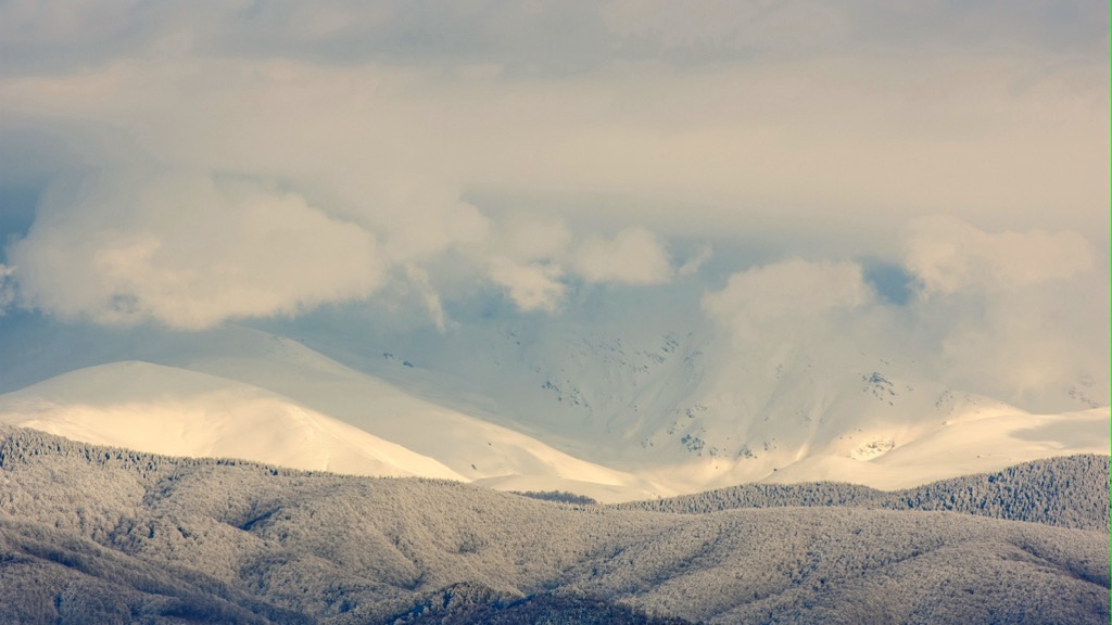
The Ţarcu Massif appears like a fortress, surrounded by steep slopes and bordered by valleys. It features high plateaus with protruding peaks, fields, and glacial lakes. The massif resembles an arena with three levels. The highest, over 2,000 m (6,562 ft), includes the main massifs and features smooth surfaces, glacial lakes, and vast alpine pastures.
The middle level, between 1,100 m and 1,500 m (3,609 ft and 4,921 ft), surrounds the high peaks and includes notable features like Poiana Peak and Măgura Marga. The lowest level, 500 m to 800 m (1,640 ft to 2,625 ft), is the Caransebeş Depression.
The Țarcu Mountains are from the Tertiary period when the landscape underwent extensive leveling. This resulted in the formation of various platforms, such as the Borăscu, Râul Șes, and Gornovița platforms.
The Borăscu platform, located to the south and southeast, comprises peaks over 1,800 m to 2,000 m (5,906 ft to 6,562 ft). The Râul Șes extends more towards the southeast and northwest along the river of the same name, dominating the valleys of Bistra and Timiș. Meanwhile, the Gornovița forms the lower, wooded border, with a width of only two to three kilometers, along the Timiș and Bistra valleys.
The Țarcu Mountains experienced the formation of glacial relief during the Pleistocene era, around the Quaternary period. Glaciers formed in the region as the climate cooled and permanent snow formed. Centuries of accumulating ice and its subsequent movement led to the creation of glacial features such as cirques, glacial valleys, and moraines.
There are several natural lakes in the Țarcu Mountains, mainly in glacial valleys. These include Iezerul Ţarcu, Lake Pietrele Albe (Tăul Lucios), and others. The lakes are fed by water from melting snow and heavy rains in spring.
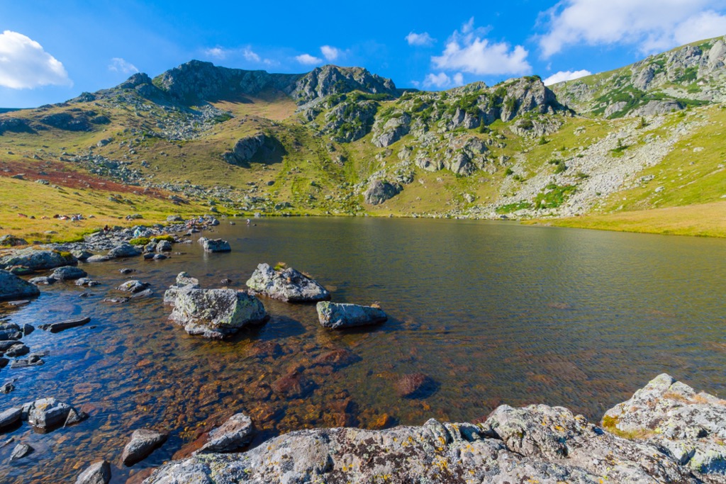
The lower and middle parts of the Țarcu Mountains are covered with forests, typically up to around 1,550 m to 1,650 m (5,085 ft to 5,413 ft). These forests consist mainly of beech trees at lower elevations and spruce trees at higher altitudes. Above the forested areas, the highest peaks are adorned with alpine meadows. Juniper bushes often mark the transition from forest to meadow.
These subalpine and alpine meadows are filled with various grasses, such as field grass, wind grass, and sedges. Rust grass grows in areas with juniper bushes. Notable flowering plants include azaleas, gentians, alpine bells, sedums, carnations, and, in some places, smirdar bushes. In calcareous areas like Fetii, alpine edelweiss is common.
Above 1,900 m (6,234 ft), meadows are dominated by alpine flowers. Clusters of Siberian juniper, myrrh, blueberries, and cranberries thrive near the forest edge. Notably, the protected Swiss stone pine grows in Custura Mătaniei.
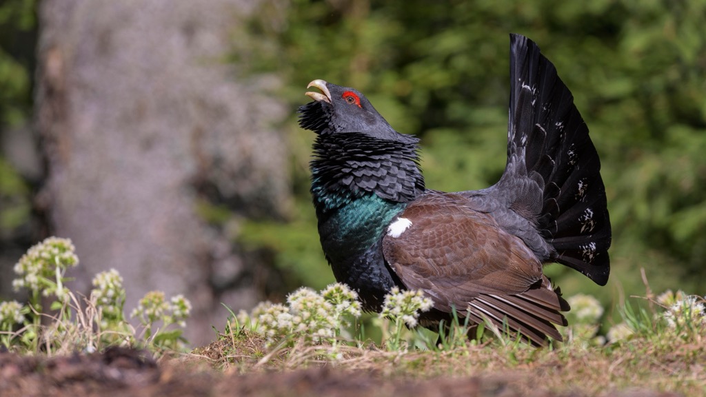
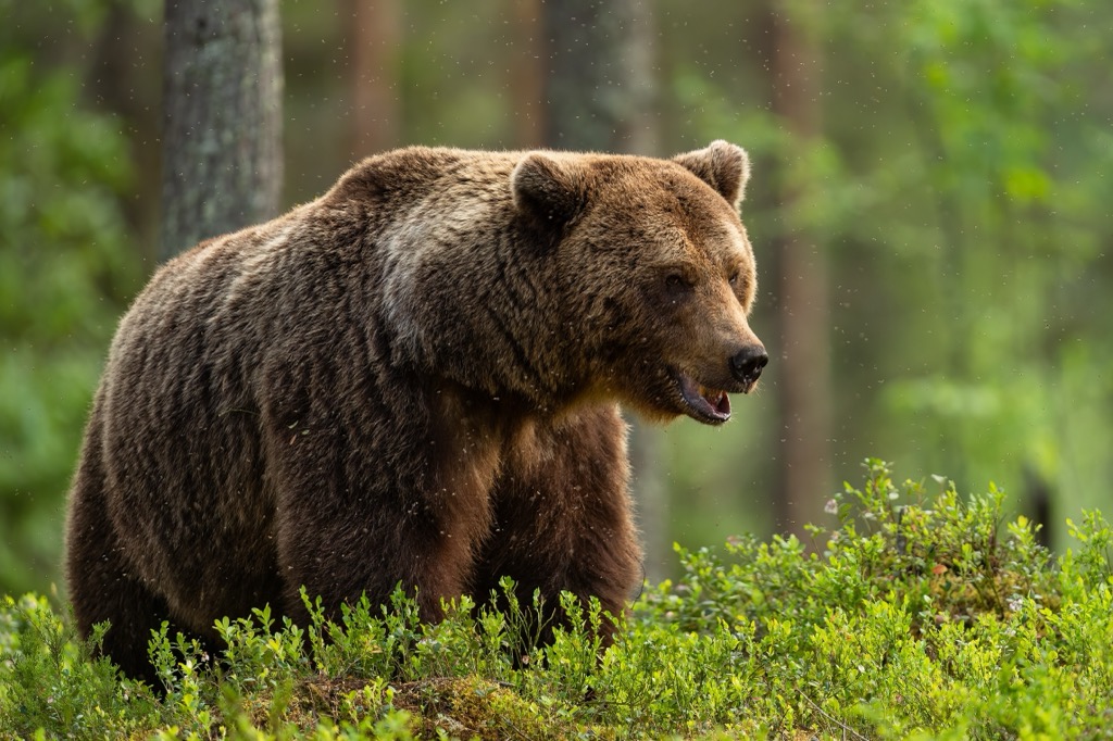
The Țarcu Mountains are home to a variety of animals found in mountain forests and alpine regions. Chamois inhabit the alpine and subalpine areas. Capercaillies are common in juniper stands. The forested regions host a variety of species, including bears, wolves, roe deer, wild boars, squirrels, stone martens, and collared mice. Trout and grayling inhabit river rapids and glacial lakes.
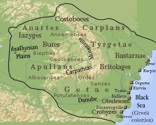
The area was once near the border between the Romans and an ancient tribe called the Dacians. The area known as "Pietrele Scorile" was a popular hunting ground for the Dacians. Legend has it that King Scorilo, Decebal's father, king of the Dacians, was buried in the Scorilo Valley along the Muntele Mic - Poiana Mărului tourist route. Names like Pietrele Scorile, Cleanțul Scorilo, and Cioaca (Creasta) Scorilo date back to Dacian times, along with tales of a treasure hidden in the region. Local shepherds believe a cave in Scorilo's rock is marked by sunlight hitting the wall on June 21, the summer solstice.
Established in 1767 by the Austrians to defend the border with the Ottoman Empire, the Romanian-Banătăian border regiment no. 13 had control over the Banat Montan region. It extended from Valea Bistrei to Caransebeș, including the Timiș-Cerna corridor and areas like Banățeană Craina and Almajului Valley.
The regiment, organized into 12 communes during peacetime, trained recruits in Caransebeș for three years, followed by ongoing training and shooting sessions on Sundays and holidays. Over its 104-year history, the regiment produced 25 generals and over 200 senior officers.
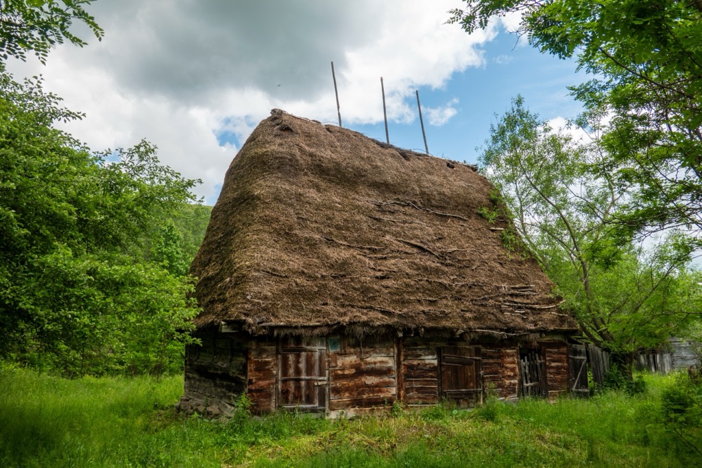
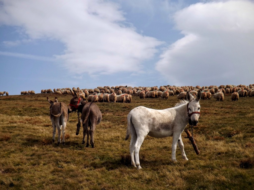
The Țarcu Mountains have long been associated with shepherding due to favorable conditions and abundant flocks. Consequently, locals have referred to this area as Ţarcu for generations. Though many herds have vanished over time, leaving only remnants like piles of boulders covered in nettles, some functional stables remain.
This 22 km (13.7 mi) hike takes you to Tarcu Peak. The trail features a vertical ascent of 1,134 m (3,720 ft). The hike starts at around 1,200 m (3,937 ft) altitude with a gentle forest walk before ascending to alpine landscapes above 1,600 m (5,249 ft) in elevation. Highlights include Poiana Seroni and Sadovanu Peak before reaching Tarcu Peak at 2,190 m (7,185 ft). Visitors can return via the same path or opt for a loop trail offering other scenic viewpoints.
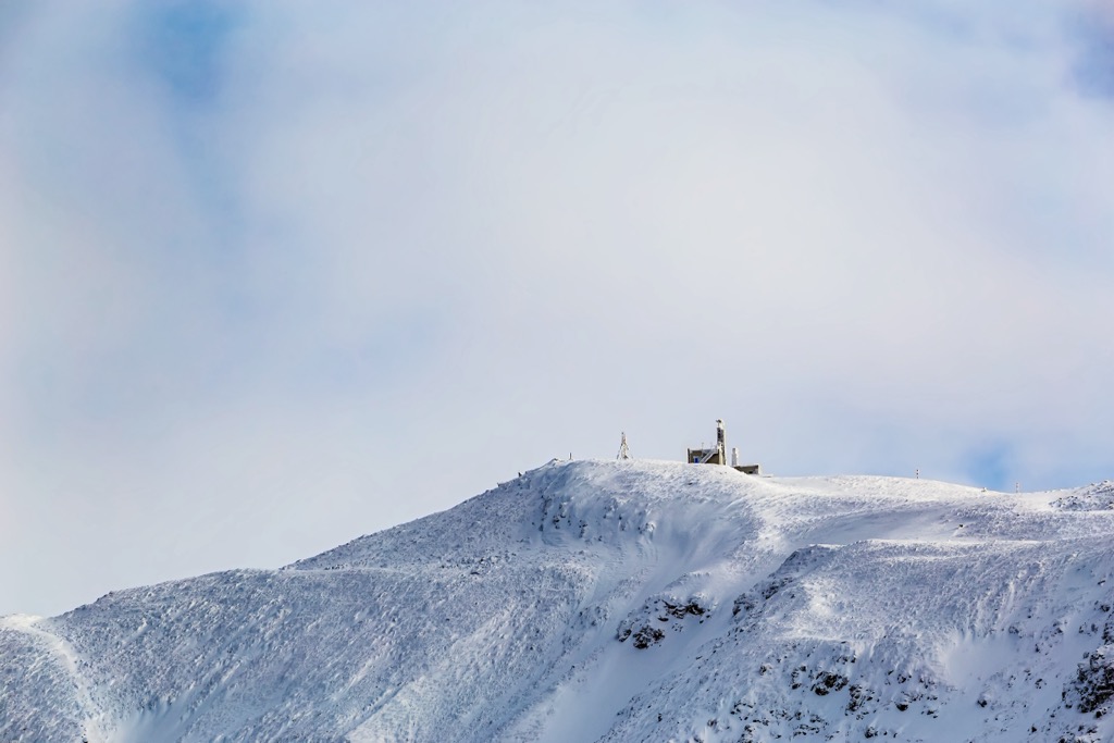
A two-day overnight hike showcases the remote and breathtaking Țarcu Mountains with a trek across Nedeia, Caleanu, and Brusturu Peaks. The hike covers a total distance of 38 km (23.6 mi) with a vertical ascent of +1,800 m (5,906 ft). From Poiana Marului, ascend through a steep forest road, passing landmarks like Nedeia Peak at 2,150 m (7,054 ft). On day two, continue towards Caleanu and Brusturu Peaks. Finish back at Poiana Marului.
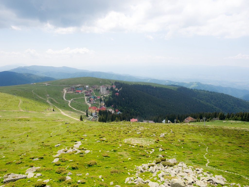
Muntele Mic is a 3-hour journey from Borlova to the Voinii Fountain and the "Muntele Mic" Touristic Complex. The trail is relatively easy and begins on a forest road leading northeast from Borlova, following the Sebeşel valley. Afterward, ascend along the adjacent ridge (Priporul Rău) to reach the Fountain of Will. From there, continue eastward under the forest's edge until the "Muntele Mic" Touristic Complex. The area also has a ski resort in winter.
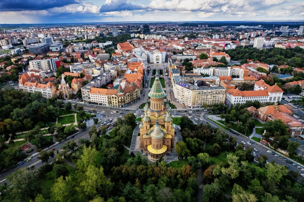
Timișoara, often called "Little Vienna," is a vibrant city in western Romania. It is the largest city in the historical region of Banat, with a population of over 300,000. Timișoara gained international attention as the birthplace of the 1989 Romanian Revolution and is known also for its architecture, which blends Baroque, Art Nouveau, and Communist-era styles.
Arad is situated in western Romania near the Hungarian border. With a population of around 150,000, it boasts a blend of architectural styles. Arad is renowned for its well-preserved historic center, featuring elegant buildings, churches, and picturesque squares.
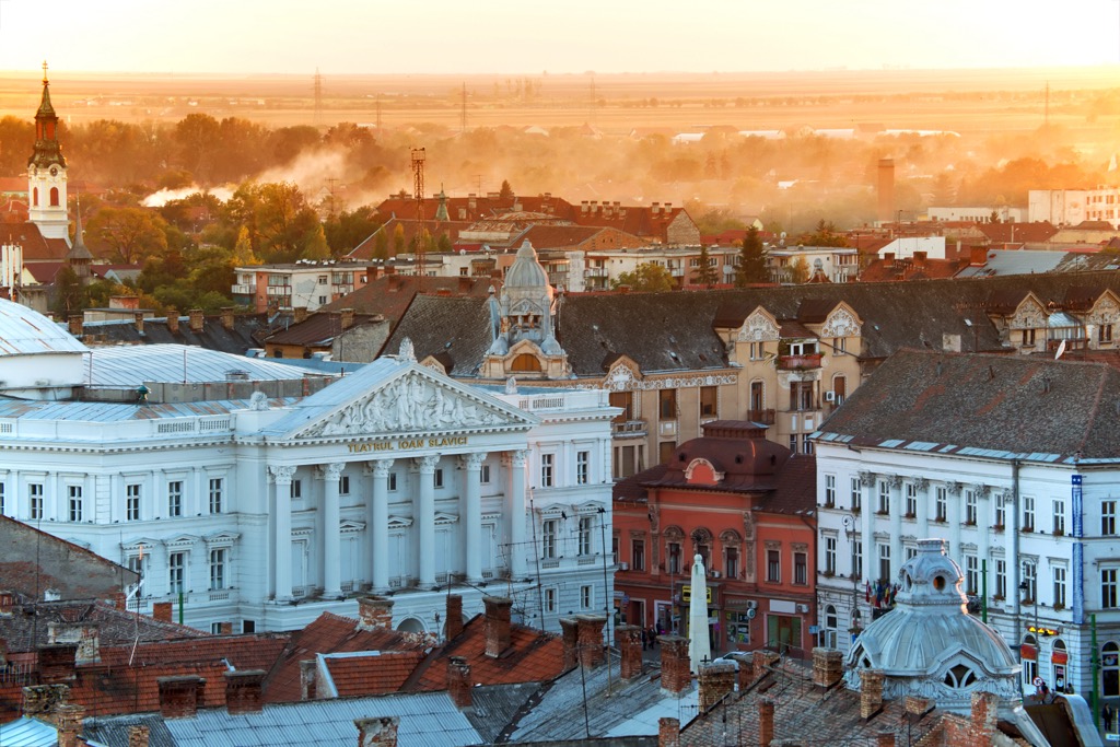
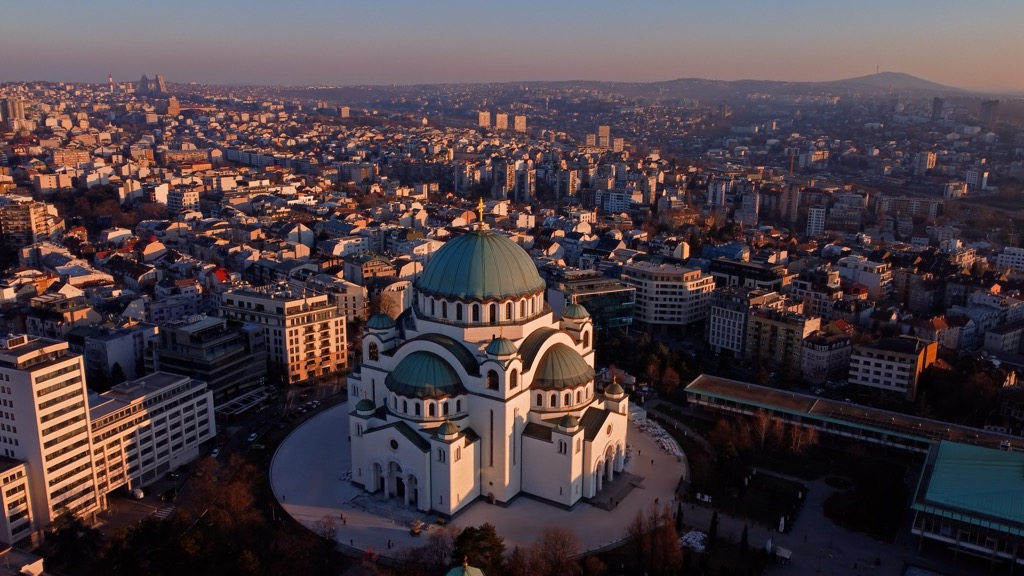
Belgrade, Serbia's capital, is a bustling metropolis at the confluence of the Sava and Danube Rivers. With over 1.37 million people, it's the largest city in Serbia and the nation’s cultural, economic, and political center.
Explore Munții Țarcu with the PeakVisor 3D Map and identify its summits.

