Get PeakVisor App
Sign In
Search by GPS coordinates
- Latitude
- ° ' ''
- Longitude
- ° ' ''
- Units of Length

Yes
Cancel
❤ Wishlist ×
Choose
Delete
Mountain Zebra National Park is situated in the Eastern Cape province of South Africa. It’s an important example of successful wildlife conservation, particularly for its role in saving the Cape mountain zebra from extinction. There are 10 named mountains in Mountain Zebra National Park. Blinkberg is the highest point at 2,138 meters (7,014 ft). The most prominent mountain is Salpeterkop, measuring 1,514 meters (4,967 ft).
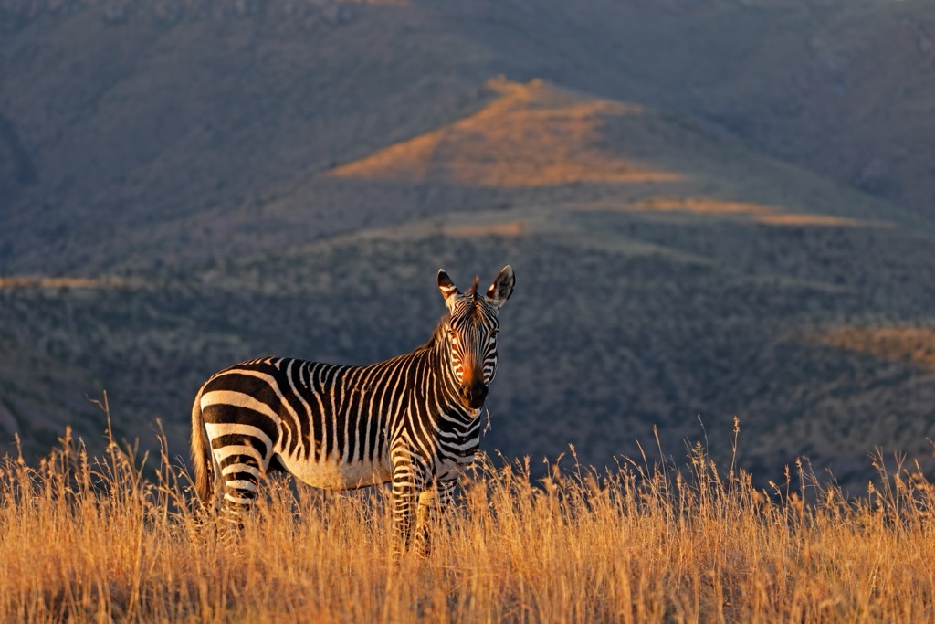
Mountain Zebra National Park is located about 12 km (7 mi) from the town of Cradock in the Eastern Cape. The park, which covers approximately 28,400 ha (70,178 ac), is part of the semi-arid Karoo region, dominated by rolling plains and rocky ridges.
The park's most notable geographical feature is the Bankberg mountain range, which bisects the landscape and rises between 800 and 2,000 meters (2,625 to 6,562 ft) above sea level. The park’s mountains are essential for providing habitats to several species, including the endangered Cape mountain zebra, for which the park was originally established.
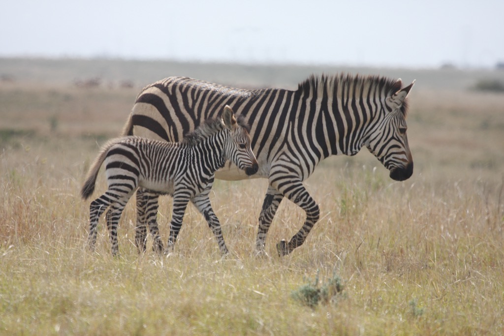
Many areas within the park are high plateaus that drop steeply into valleys or gorges, creating dramatic escarpments. These flat-topped mesas and cliffs are remnants of ancient volcanic activity. The plateaus are also covered in sparse vegetation, which supports the park’s many grazing animals, including zebras and antelopes.
The arid climate and geography influence the park's vegetation. The lower areas are covered by Karoo scrubland, while the higher elevations support fynbos and grasslands. The park’s unique geographical location places it at the meeting point of several biomes, making its flora rich and diverse.
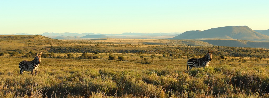
The park experiences a semi-arid climate, with hot summers and cold winters. Rainfall is sparse, mostly occurring in the form of summer thunderstorms, although snow can sometimes fall on the higher peaks in winter. The park’s range of elevations means the weather can vary, with cooler and wetter conditions in the mountains.
Mountain Zebra National Park is part of the Karoo region, known for its layered sedimentary rocks. These layers, formed 300 to 180 million years ago, include the Beaufort Group, with river-deposited rocks containing fossils, and the Stormberg Group, which has desert-formed sandstones.
The park also features dolerite dykes and sills, displaying hardened magma that formed ridges and hills during the breakup of the supercontinent Gondwana. Over time, tectonic forces and erosion shaped the park’s cliffs, ridges, and valleys. Fossils of ancient animals called therapsids highlight early mammal evolution.
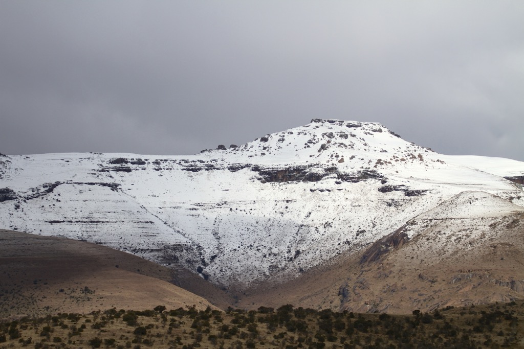
Mountain Zebra National Park features grasslands that provide extensive grazing areas, as well as woodlands with Acacia and Aloe trees. These habitats support several unique plant species.
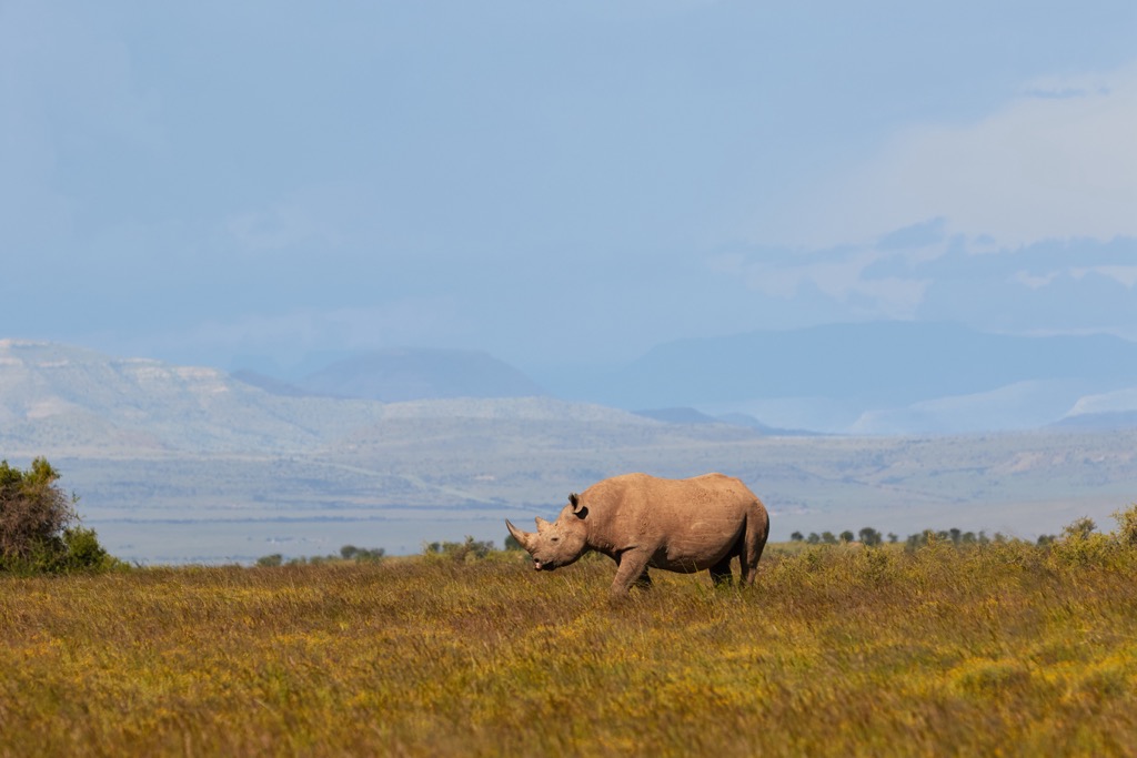
The park’s wildlife includes an abundance of grazing ungulates like the Cape mountain zebra, black wildebeest, and various antelope. Predators include jackals, caracals, lions, and cheetahs. The park is also home to classic African species like elephants, black rhinos, and ostrich. More than 200 bird species, including the endangered Cape vulture, live in the park, along with many reptiles and insects.
Before Mountain Zebra National Park was established, European settlers who arrived in the 19th century used the land mainly for farming. Indigenous Khoisan people had lived in the area for centuries, coexisting with the wildlife. However, as settlers began hunting animals and subjecting the land to agriculture, wildlife populations, including the Cape mountain zebra, began to decline.
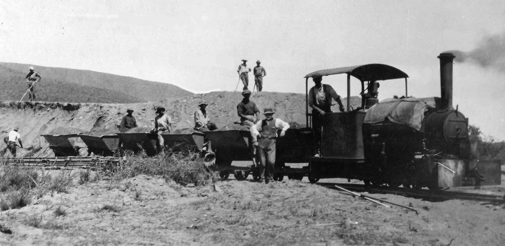
The park was created in 1937 to protect the last remaining Cape mountain zebras. At the time, only about six zebras were left in the region. The park initially covered a small area of just 1,712 ha (4,230 ac), but its creation was essential in preventing the extinction of the species.
Over time, more zebras were introduced, and the park’s size gradually expanded. By the 1980s, the zebra population had grown to over 200. In the following decades, Mountain Zebra National Park grew to over 28,400 ha (70,178 ac), and conservation efforts broadened to include other endangered species, such as black rhinos and cheetahs.
The Black Eagle Hiking Trails is a moderate 2.5 km (1.5 mi) route that ascends a rocky outcrop on the slopes of Soetkop. It leads to a viewpoint where black eagles sometimes soar above the cliffs. Along the way, hikers can enjoy the diverse plant life and may encounter smaller game, such as meerkats, vervet monkeys, and dassies (rock hyrax).
The Idwala Hiking Trail is named after the Xhosa word for ‘big rock,’ after a 20-tonne dolerite boulder slid 250 meters (820 ft) down a mountain in 1974. Hikers pass through rugged rocky landscapes on this 10 km (6 mi) guided hike. The trail also offers opportunities to see the park’s iconic Cape Mountain Zebras, red hartebeest, and various raptors.
The Impofu Hiking Trail is an extensive 25 km (15 mi) 3-day trail that covers some of the park’s highlights, including Bakenkop, one of the park’s highest peaks. The first day’s hike meanders through grassland and mountain shrubland, passing the ‘Big Rock’ boulder. Day two offers a mountain grassland experience with chances to see herds of eland and mountain reedbuck. The final leg passes through a riverine thicket, ending at the rest camp. Two mountain cottages provide overnight stops for hikers in secluded and scenic areas.
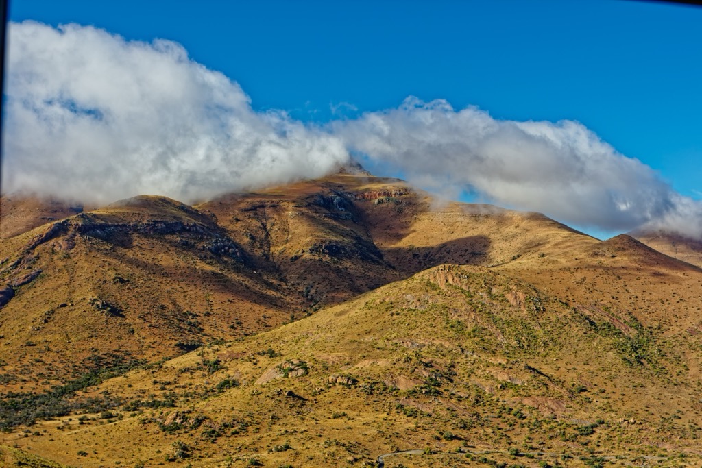
The Salpeterkop Hike takes hikers up Salpetetkop's extinct volcanic crater, offering magnificent views over the park. The trail is 4.8 km (3 miles) long and has a steep climb with a height gain of 1,227 meters (4,025 ft). Once at the top, hikers can enjoy 360-degree views of the landscape. The hill also has historical significance from the Ango-Boer War when British troops used it as a lookout. Relics from the era remain, including an engraved chessboard on a rock used by soldiers.
Cradock is a historic Eastern Cape town located along the Great Fish River. It is known for its colonial history, especially tied to the Anglo-Boer War and the Great Trek, and is also a gateway to the Great Karoo.
Due to its location in the semi-arid Karoo region, Cradock has some of the clearest skies in South Africa, making it a perfect spot for stargazing. Visitors can enjoy views of the Milky Way and endless shooting stars.
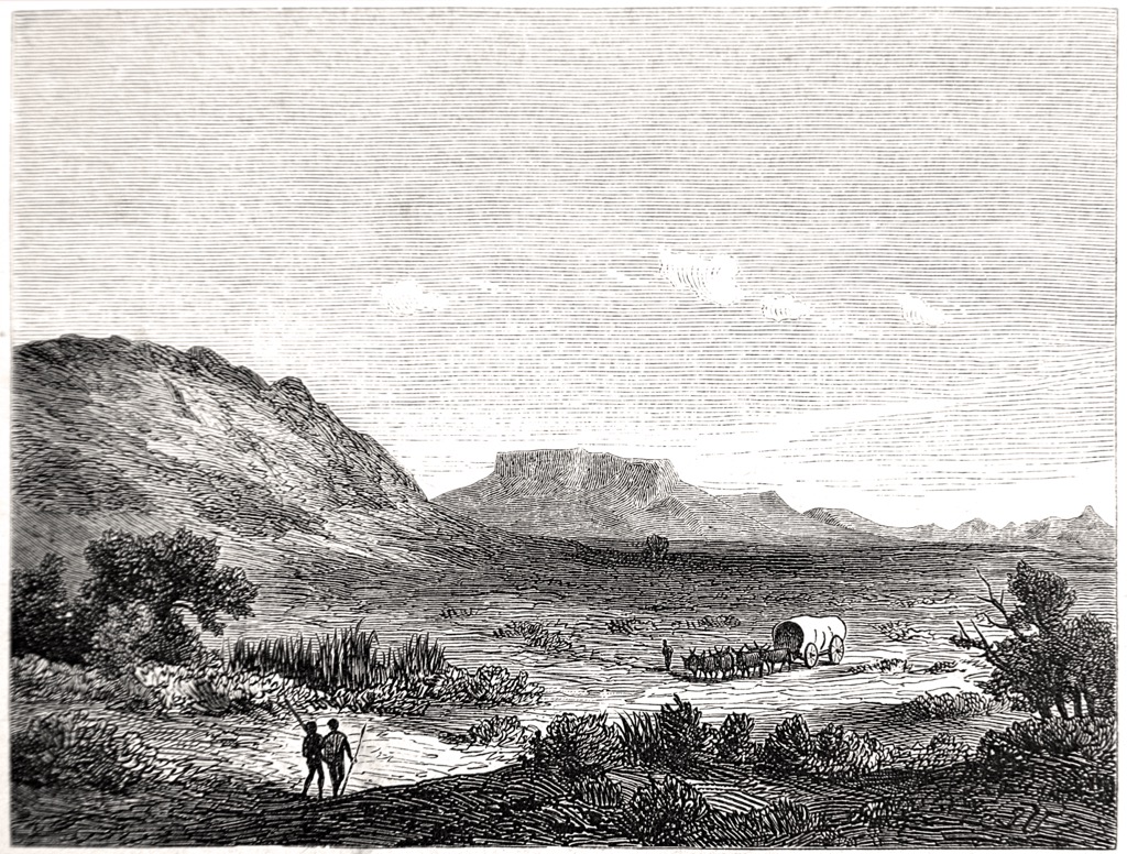
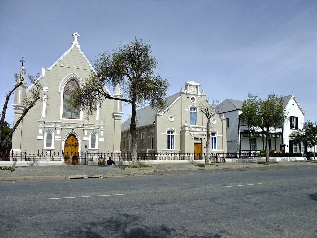
Cradock is also known for its well-preserved Victorian and Cape Dutch architecture, with the Dutch Reformed Church in the town’s center being one of its most famous landmarks. Designed to resemble St. Martin’s-in-the-Fields in London, the church is a beautiful example of colonial architecture.
The annual Fish River Canoe Marathon is one of South Africa’s most famous river races. Outside the marathon, the river offers excellent opportunities for canoeing and kayaking.
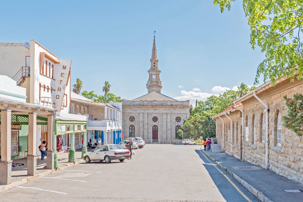
Graaff-Reinet is South Africa’s fourth oldest settlement, with over 220 national monuments showcasing Cape Dutch architecture. Camdeboo National Park surrounds the town and offers views of the Karoo landscape. The Valley of Desolation, with towering dolerite columns, is a highlight.
The Camdeboo National Park and Samara Private Game Reserve provide opportunities for game viewing. Wildlife includes kudu, springbok, and buffalo, with some private reserves offering Big Five safaris.
The Karoo's rugged terrain is ideal for mountain biking, and there are many trails around Graaff-Reinet.

Explore Mountain Zebra National Park with the PeakVisor 3D Map and identify its summits.


