Get PeakVisor App
Sign In
Search by GPS coordinates
- Latitude
- ° ' ''
- Longitude
- ° ' ''
- Units of Length

Yes
Cancel
❤ Wishlist ×
Choose
Delete
Moosalamoo National Recreation Area is a nearly 16,000-acre protected wilderness area in central Vermont. With ample opportunities for day hiking, cross-country skiing, hunting, fishing, mountain biking, camping, and events, the park is a popular destination for visitors from anywhere in New England, as well as New York and Quebec.
Moosalamoo is open to a variety of recreational activities. The park area features 19 campsites, each with a picnic table, fire ring with a grill, and parking. The main attraction, however, is the hiking.

Hikers will enjoy more than 70 miles of trails that are well maintained and available year-round. There are three named peaks in the park, the highest being Mount Moosalamoo at 2,625 feet. The others are Hogback Mountain and Sugar Hill, although these are not accessible by trail.
As a National Recreation Area, Moosalamoo is managed by the U.S. Forest Service rather than the National Park Service. Recreation areas are meant to preserve recreational opportunities for visitors in places with a lot of scenic beauty and wilderness.
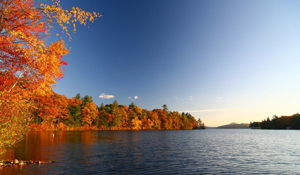
https://www.shutterstock.com/image-photo/beautiful-mountain-lake-surrounded-by-deciduous-1708987855
Visitors wishing to hike Mount Moosalamoo can take one of three trails to the summit. The Mt. Moosalamoo trail is the most direct, accessible via the parking lot near the Moosalamoo Campground entrance. After 2 miles, it connects with the Oak Ridge trail, which straddles the peak from north and south. It is the only trail that takes you to the summit.
Hikers can also take the Keewaydin trail to link up with the Oak Ridge ascent from the south. This trail is accessible from the North Branch trail, which launches from the Moosalamoo Campground parking lot.
For a much longer journey to Visitors wishing to hike Mount Moosalamoo can take one of three trails to the summit. The Mt. Moosalamoo trail is the most direct, accessible via the parking lot near the Moosalamoo Campground entrance. After 2 miles, it connects with the Oak Ridge trail, which straddles the peak from north and south. It is the only trail that takes you to the summit., hikers can begin their trek at the northern entrance to the recreation area. The Oak Ridge trailhead can be found at the Oak Ridge parking lot on Route 125 on the border with Middlebury. This trail will cover five miles of Vermont wilderness before reaching the peak of Visitors wishing to hike Mount Moosalamoo can take one of three trails to the summit. The Mt. Moosalamoo trail is the most direct, accessible via the parking lot near the Moosalamoo Campground entrance. After 2 miles, it connects with the Oak Ridge trail, which straddles the peak from north and south. It is the only trail that takes you to the summit..
While Hogback Mountain and Sugar Hill are both named, neither is accessible via trail.

Each of the 19 campsites are situated irregularly through the recreation area. One site is located at the Moosalamoo trailhead off of FR (Fay Road) 24. Another site is found at the Voter Brook Overlook at the end of FR 24. Campers will also find sites overlooking Lake Dunmore (Branbury State Park) and Silver Lake.
Campgrounds are open from Memorial Day through Labor Day and available on a first come, first served basis ($10 per night).
The Moosalamoo campsite includes an open play field and a short interpretive trail. Some also have barrier-free vault toilets and hand pumps for drinking water. There are no showers or hook-ups.
Explore Moosalamoo National Recreation Area with the PeakVisor 3D Map and identify its summits.


