
Scan the QR code and open PeakVisor on your phone
Marble Range Provincial Park has 7 named peaks. The highest is Mount Kerr at 2,280 m. Other notable peaks include Marble Range, Mt. Bowman and False Mount Kerr.
Named for its unusual limestone topography, Marble Range Provincial Park was established in 1995 to preserve alpine and subalpine habitats in the Pavilion Ranges and protect endangered and non-endangered wildlife and their habitats. The park also aims to protect the area’s outstanding outdoor recreation attributes.
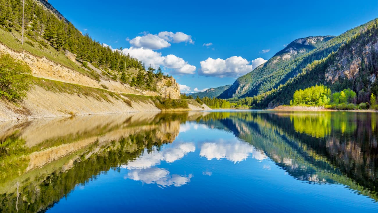
Marble Range lies adjacent to Edge Hills Provincial Park in southern British Columbia and encompasses 30,2350-acres of impressive cliffs, chasms, crenellated ridges, and caves. The park also contains acres of stunning alpine tundra, old growth Douglas-fir, spruce, and lodgepole pine.
The Marble Range is characterized by bold castellated peaks and ridges. These limestone summits extend northward from the Cornwall Hills to beyond Big Bar Creek. Though trails in Marble Range are not maintained and are notoriously rugged and steep, several summits, including Mount Kerr and Mount Bowman, are regularly climbed by experienced hikers.
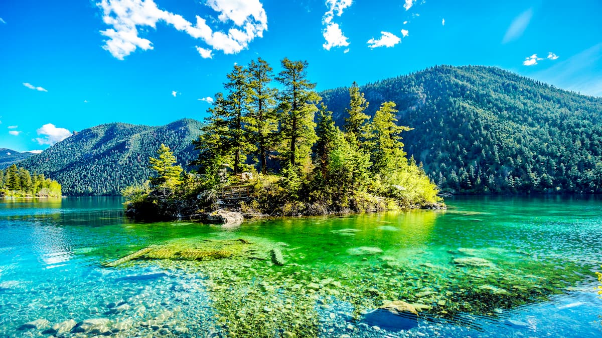
The park’s karst topography also supports a variety of rare plant communities and serves as an important habitat to a number of species, including moose, black bear, mule deer and the California bighorn sheep.
Managed as a wilderness park, Marble Range provides excellent backcountry opportunities for day and overnight recreationists seeking low impact experiences. Horseback riding, hiking, backpacking, hunting, and wildlife viewing are all popular activities in the park.
Marble Range is within the traditional territory of the Shuswap people and has been used for hunting, fishing, trapping, and gathering for thousands of years. In fact, several First Nations continue to use the park for sustenance, spiritual, and cultural purposes. Several heritage sites protected under the Heritage Conservation Act can be found in the park.
Hiking trails in Marble Range are generally unsigned, with exception of blazes and trail markings, and unmaintained. Not to mention, park summits are remote, rugged, and demanding. That being said, a variety of routes and trails exist in the park, many of which are doable with route-finding and backcountry hiking experience.
Peak baggers can reach the summit of Mount Bowman via a lightly trafficked 7.7-mile trail. The trail climbs roughly 2,700 feet in elevation and travels through a scenic valley nestled between Mad Dog Mountain and Mount Bowman before ascending a forested hillside. A few caves and alcoves can be found at the summit.
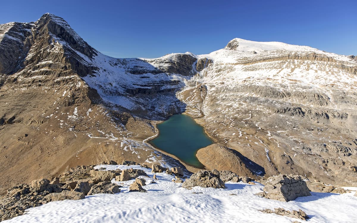
The summit of Mount Kerr, the tallest peak in the park, can also be reached via a challenging, 13.5-mile trek. Hikers looking to summit Kerr will start on the same trail as Mount Bowman before turning off the trail toward Wild Horse Ridge. There is no designated trail for most of the trip to the top of Mount Kerr, so route-finding skills are a must.
Located in Clinton, B.C., the Cariboo Lodge is a rustic log hotel located at the base of the Marble Range. The lodge features an on-site restaurant and pub, incredible mountain views, and several modern comforts, including Wifi. Several parks are within close proximity to the Cariboo Lodge, so visitors can spend their time hiking, biking, canoeing, or fishing.
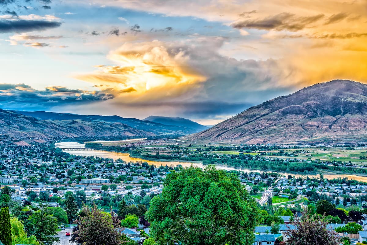
Though several small communities can be found surrounding Marble Range, most visitors travel from Kamloops, a city known for its outdoor recreation and cultural heritage. Downtown Kamloops is dotted with an array of cafes, shops, and restaurants, as well as local art and museums. Kamloops is also home to the Kenna Cartwright Park, a 2,000-acre park that boasts more than 20 miles of trails.


The highest peak in Marble Range Provincial Park is Mount Kerr, at 2,280 m.
Notable peaks in Marble Range Provincial Park include Mount Kerr, Marble Range, Mt. Bowman, False Mount Kerr and Lime Ridge.


