
Scan the QR code and open PeakVisor on your phone
In northeastern Albania, Rezervati Natyror Lumi Gashit, or Nature Reserve Gashi River, offers visitors a taste of true wilderness. The reserve protects both a wild river and ancient beech forests. There are 28 named mountains in Lumi Gashit. Maja e Ibard (2,426 m / 7,959 ft) is the highest point, while Maja Rupës (2,266 m / 7,434 ft) is the most prominent mountain.
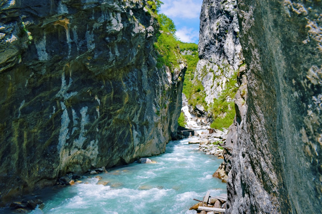
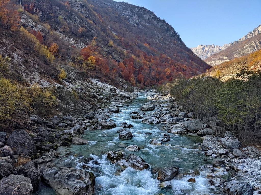
The Gashi River is one of the country's most pristine and breathtaking regions. It's a part of the Tropoja municipality, located in the eastern portion of the Albanian Alps, sharing its borders with Montenegro and Kosovo.
The river flows for 27 km (16.7 mi). Its source can be traced below the Doberdol Pass at 2,238 m (7,343 ft), flowing through a stunning landscape with peaks like Maja Bogiçaj (2,405 m / 7,890 ft) in the northeast. It initially flows north and northwest, eventually changing course to the south. Further south, it navigates a narrow gorge and valley, flowing into the Valbonë River in the Tropoja basin.
The river's upper two-thirds are strictly protected areas, forming part of the European Green Belt. They are also a UNESCO World Heritage Site due to ancient beech forests on both sides of the river. This natural wonder has earned the prestigious designation of a "Strict Nature Reserve," covering an area of around 3,000 ha (7,413 acres). In terms of legal protection, it boasts the highest level of safeguarding in accordance with Albanian and international legislation.
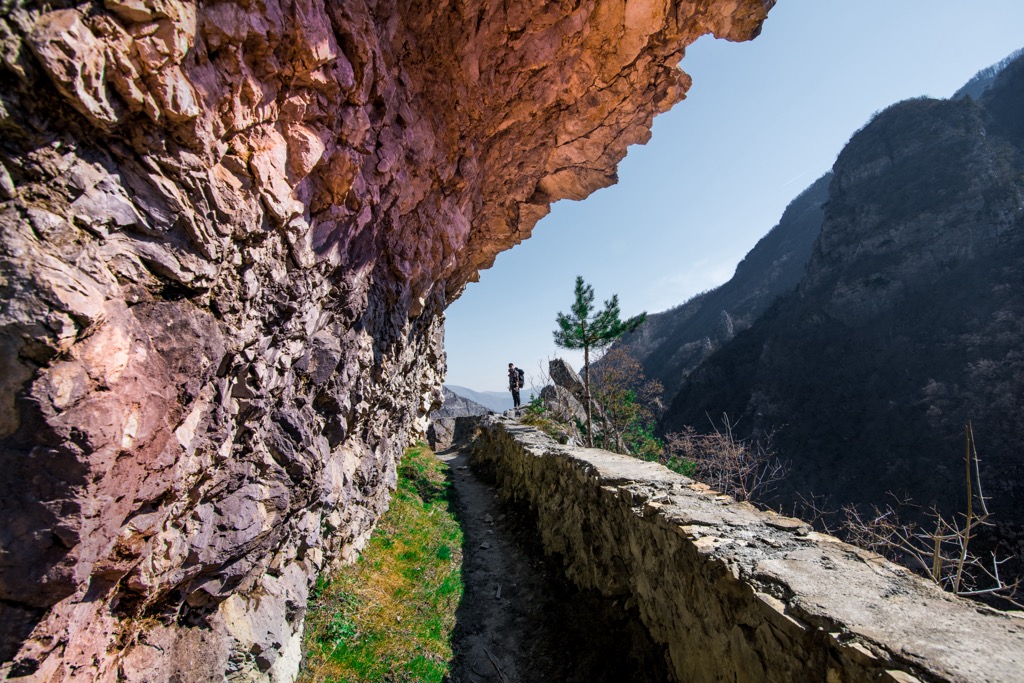
To embark on an adventure to this natural reserve, you'll journey through Bajram Curri, passing through villages like Qerem, Torkuz, and Doberdol. Keep in mind that the valley is only accessible by foot; after the roughly 45 km (28 mi) drive, you'll hit the trail leading you straight up the Gashi River.
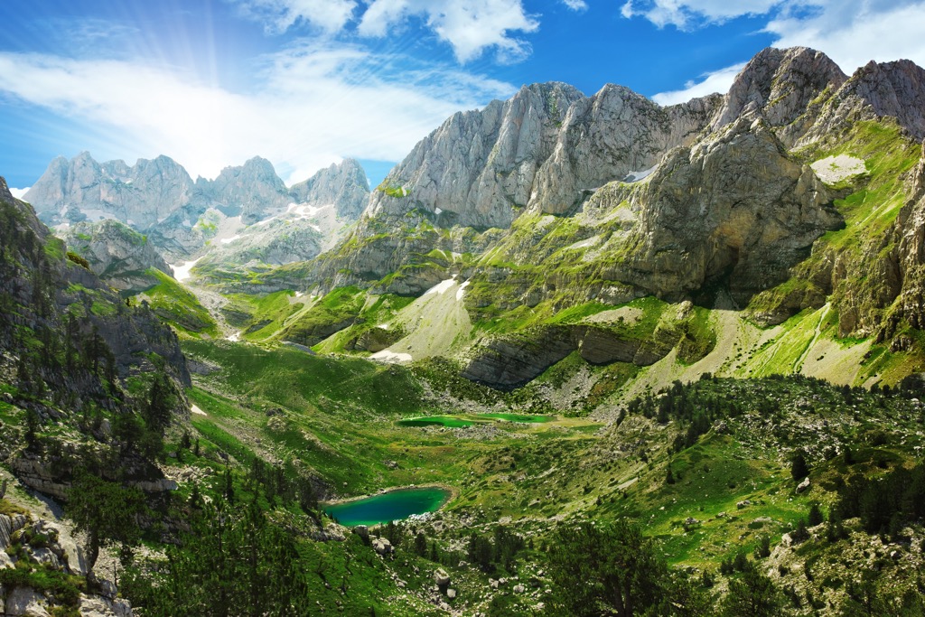
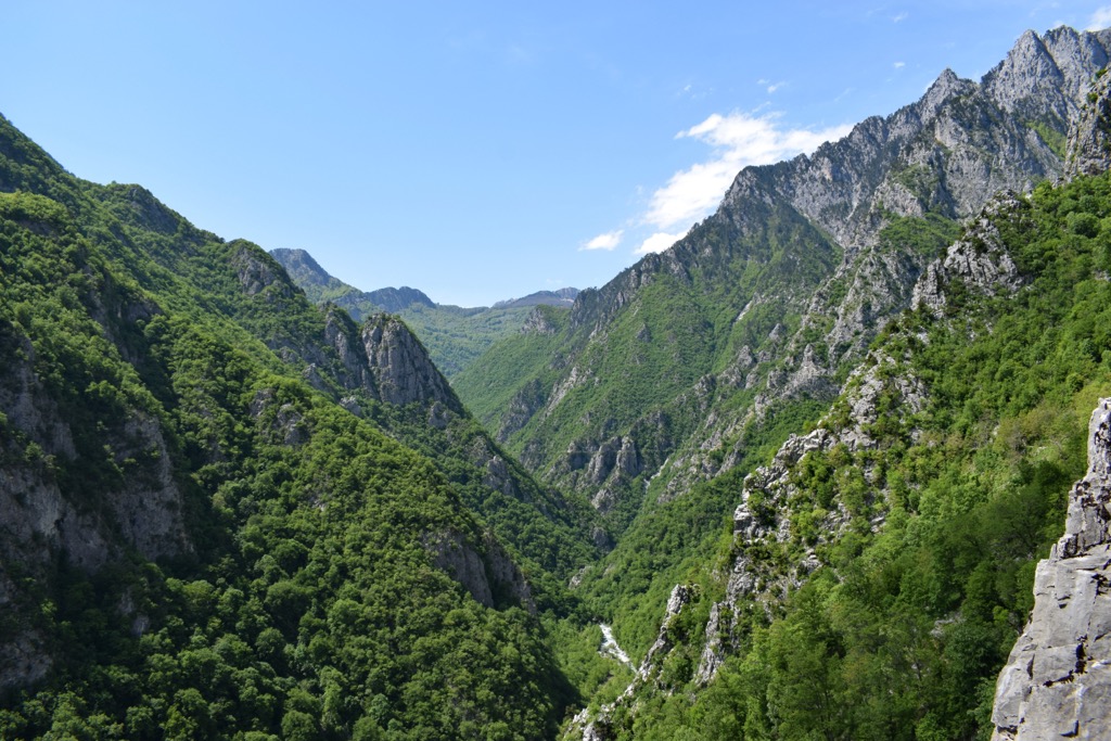
The Albanian Alps, through which the Gashi River flows, is a majestic mountain range in southeastern Europe. The pinnacle of the range, Jezerca, stands at an impressive 2,692 m (8,832 ft).
When it comes to high-altitude panoramas in the Balkans, the Albanian Alps take the prize for rugged vistas. The landscape here is a canvas of barren karst formations, thanks to the predominant limestone composition.
The force of water weaving through the rock has shaped dolines (sinkholes), along with chasms and mysterious karst caverns. The region of the eastern Albanian Alps is known for its abundance of pristine waters, with two particularly precious gems, the Dobërdoli and Sylbica glacial lakes. These lakes are nestled in glacial cirques and moraine deposits of glacial valleys.
Within the Gashi River basin, rocks date back to the oldest geological era in Albania. These rocks comprise igneous, volcano-sedimentary, and slightly metamorphic limestone formations. Younger deposits are scattered across ancient river terraces.
The Gashi River begins with the breathtaking glacial valley of Dobërdol, which translates to "beautiful valley." Its relatively consistent water flow, resulting from an impermeable sandstone region, defines the Gashi. Additionally, it receives a steady supply of snowmelt from the alpine peaks.
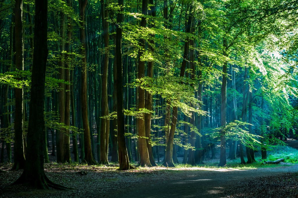
This region's climate is characterized by subarctic and oceanic influences, with cool summers and generally cold winters. The landscape’s dominant feature is the extensive forest cover. This area falls within the terrestrial ecoregion known as the Balkan mixed forests and Dinaric Mountains mixed forests, belonging to the Palearctic temperate broadleaf and mixed forests biome.
UNESCO has recognized the exceptional value of the beech forests in this region, including the Gashi River area within the Valbona National Park and Rrajca. This area is entirely free from human settlements and is primarily covered by pristine beech forests.
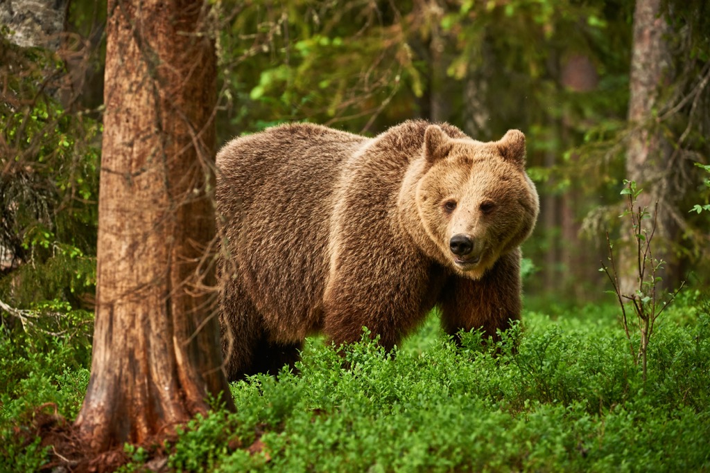
In this unique environment, beech trees and conifers coexist harmoniously. The strictly protected territory serves as a habitat for 64 animal species, including brown bears, deer, wolves, wild boars, and mountain quails. There are also 13 bird species, such as wild turkeys and heron hens.
In addition to beech, Macedonian pine, Bosnian pine, Norway spruce, and silver fir all thrive here. The presence of ancient trees, some reaching ages of 400-450 years, underscores the extraordinary natural value of this place, untouched by human intervention.
A treasure trove of legends, toponyms, and folklore has been passed down through generations. The Tropoja area is renowned for its deep-rooted traditions of hospitality, distinctive cuisine, traditional architecture, folk attire, songs, dances, and rituals; the famous Tropoja dance is a folk dance adorned with colorful wear and known throughout the region for its complexity and beauty.
This area's historical significance stretches back through the ages, serving as a vital trade and communication route in the region. In the days of the Illyrian kingdom, the Gashi River was known as the Assaretus River, with its name possibly rooted in a local language, dating as far back as the fourth century BC.
Throughout the Middle Ages, the Gashi River was a crucial trade route connecting Venice and Constantinople, linking the Adriatic Sea with the Black Sea. During the Ottoman occupation in the sixteenth century, the Gashi River facilitated connections between the Illyrian province of Scodra and the rest of the Ottoman Empire.
After the collapse of the Ottoman Empire, the Gashi River continued to be a lifeline for the people of Tropojë, serving as a vital transportation route. Today, it remains an essential local resource, providing drinking water and irrigation for the region's agricultural lands. In recent years, it has also become a source of hydroelectric power, supplying electricity to the nearby towns along its banks.
The Gashi River is not just a natural wonder; it's an integral part of the cultural heritage of Tropoje and its surroundings. This picturesque setting has also served as the backdrop for various music videos, films, and television programs, adding to its cultural significance and charm.
These are the best hikes in Nature Reserve Gashit River:
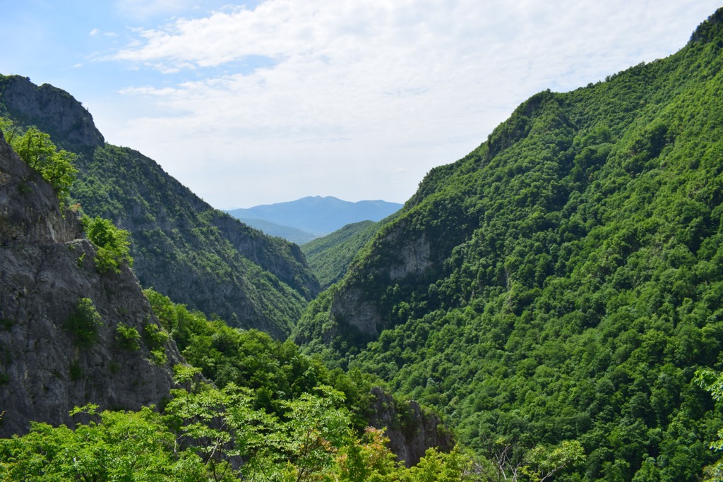
Discover a fantastic day hiking adventure– the trail along the Gashi River from Begaj village. Begin your 10 km (6.2 mi) journey in Begaj, a charming village nestled in the Albanian Alps.
Traverse a relatively flat trail with a modest 220 m (722 ft) elevation gain, suitable for beginners. Here, you can experience the largest primary beech forest in the Albanian Alps, a UNESCO World Heritage Site.
Enjoy views of the Gashi River and its deeply carved valley and take a dip in the crystal-clear waters. Reflect on the historical significance of the river, once a vital trade route. Complete your journey back in Begaj village, where you can immerse yourself in local culture and savor traditional Albanian cuisine.
This moderate hiking route winds through a portion of the Albanian Alps. It begins with an ascent from the Halil Qerimi refuge at 1,565 m (5,135 ft), gradually climbing to 2,200 m (7,218 ft) over a distance of 3.5 km (2.17 mi). The trail then follows the massif with a series of gentle ascents and descents, maintaining an elevation close to 2,000 m (6,561 ft).
The path eventually links up with the Lumi Gashit mountain range, stretching for 4 km (2.48 miles) and passing by the peak of Maja Preshit at 2,167 m (7,110 ft).
The biggest cities near this nature reserve include:
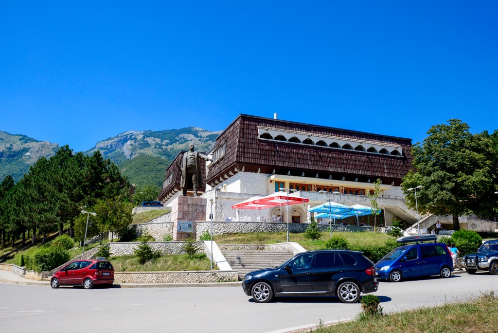
Nestled in the heart of the Albanian Alps, Bajram Curri is a town with natural beauty and adventure. With a population of around 5,000, it's a gateway to the region's pristine wilderness. Named after the legendary patriot Bajram Curri, this town is steeped in history and a hub for outdoor enthusiasts.
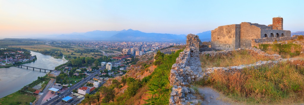
Shkodër, also known as Shkodra, is one of Albania's oldest and most culturally significant cities. With a population of approximately 200,000, it's a vibrant urban center set against Lake Shkodër, the largest lake in the Balkans. Rich in history and tradition, Shkodër offers a blend of historical sites, museums, and a lively atmosphere.
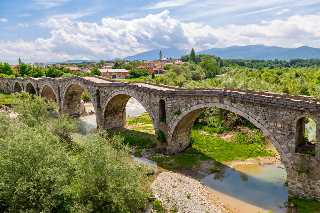
Gjakovë, located in Kosovo, is a city of resilience and heritage. With a population of around 40,000, it's a cultural and economic hub. Known for its Ottoman-era architecture, the city boasts a captivating old bazaar and a rich history that has shaped its character.


