
Scan the QR code and open PeakVisor on your phone
Inagua Natural Reserve has 20 named peaks. The highest is Sandra at 1,620 m. Other notable peaks include Montaña del Sándara, Montaña de las Yescas and Lomo de los Almacenes.
The Inagua Natural Reserve is included within the territory of the Nublo Rural Park, and covers part of the municipalities of Mogán, San Nicolás de Tolentino and Tejeda, with a total area of 3,920.3 hectares.
In 1987, this site was called Ojeda, Inagua and Pajonales Natural Park and finally in 1994, it was reclassified as Inagua Integral Natural Reserve. In turn, it has been declared a special protection area for birds. Within the reserve, we can find the national hunting refuge of Inagua, Ojeda and Pajonales that lies on the mountains of the same names.
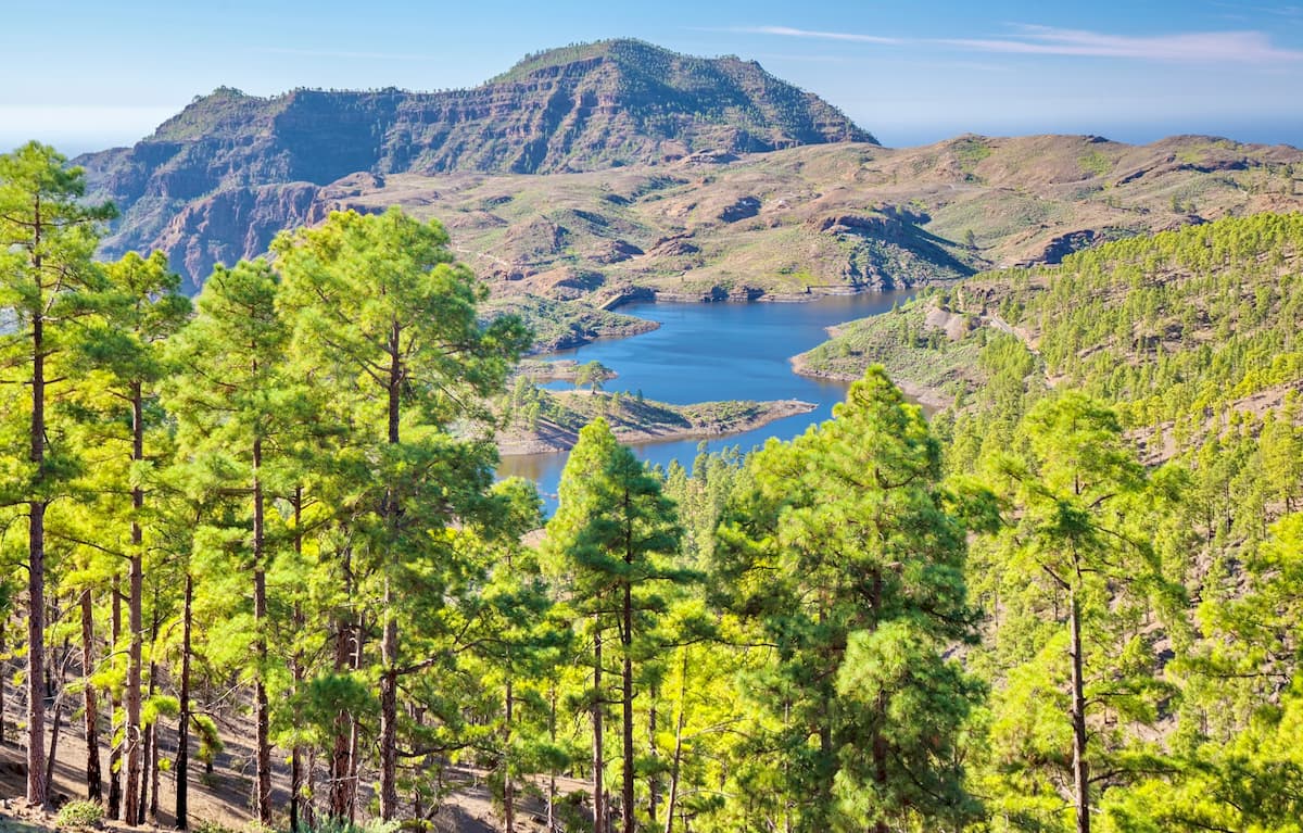
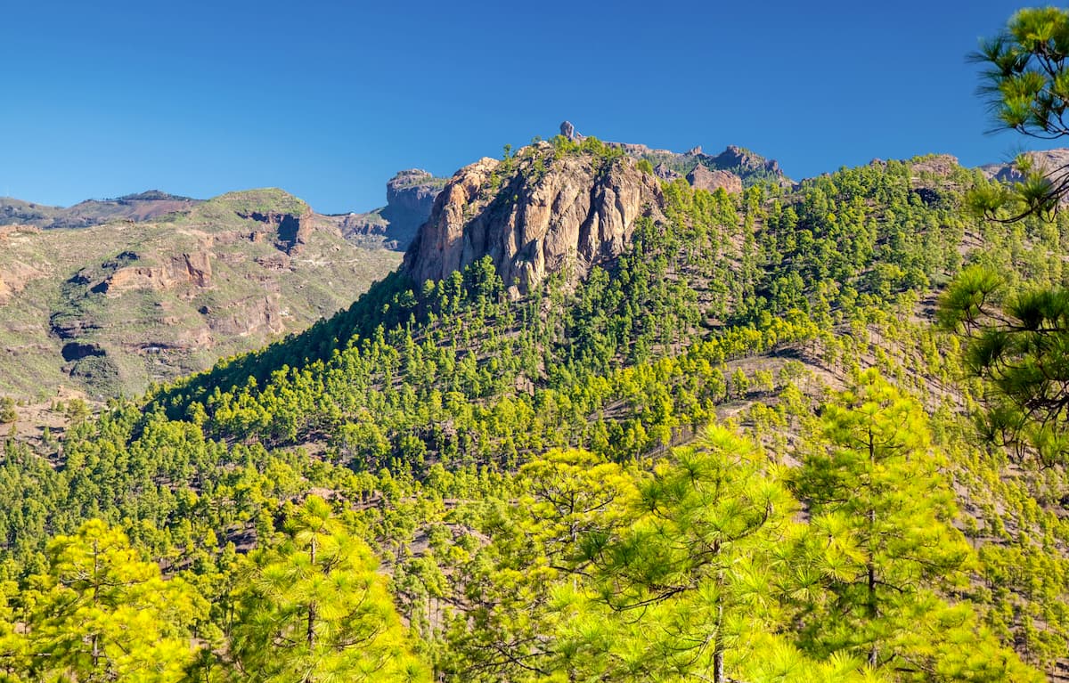
The pine woods of Inagua, Ojeda and Pajonales constitute one of the most important forest masses of the island and can be considered as the most representative of the dry pine woods of Gran Canaria due to their wonderful state of conservation and floristic richness. This factor, together with the fact that these woods are home to several important ravine heads (Mulato, Mogán, etc.), makes it essential in the recharging of underground waters and the conservation of the soil.
In addition to a spectacular landscape, this area is of great scientific, geological and geomorphological interest.
Besides the Reserve’s many animal, plant and landscape treasures, there are plenty of yet undiscovered gems for archaeologists due to the presence of old areas of timber extraction and also due to the almogarenes which were burial places associated with rituals, both religious and cultural.
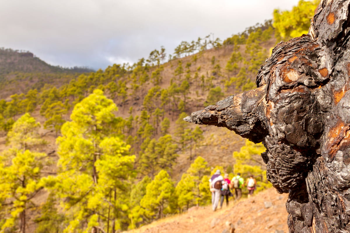
When walking through the Inagua forest, you enjoy the silence that eerily permeates the leafy shade. This ethereal silence is in stark contrasts with the hustle and bustle of urban life. The only sounds that will accompany you on the path are the merry chirping of the birds that live there. Having recently suffered severely from one of the biggest fires on the island, this open pine forest is now being reborn from its ashes to become stronger and even richer in biodiversity due to the fantastic adaptation of this unique volcanic ecosystem to the consequences of the fire. Among the flora and fauna of the reserve, there are several endangered endemisms. For some species of birds, such as the blue finch, these pine forests constitute their main habitat.
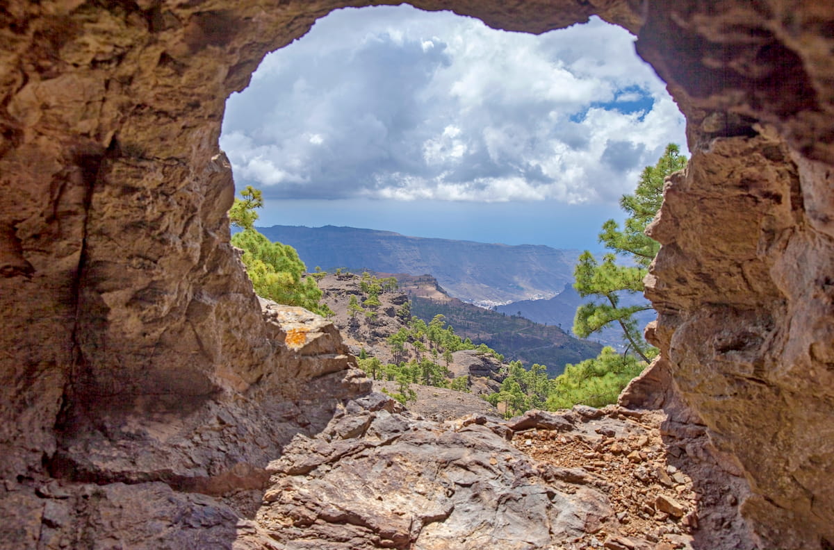
The pine forest that covers the mountains of Inagua, Pajonales and Ojeda is one of the natural places in the best state of conservation on the island of Gran Canaria. Its highest point, the Inagua Mountain (1,426 m), as well as the rest of the mountains of the Reserve are accessible through trails that offer magnificent opportunities to those who love hiking.
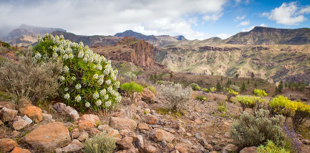
We can find several endemic species, some of which are on the brink of extinction.
There are fine specimens of palm trees in the gorges of the Pino Gordo, Lina and Mulato and in more remote areas you will find cardoncillos, cerrajones and various species of bejeques.
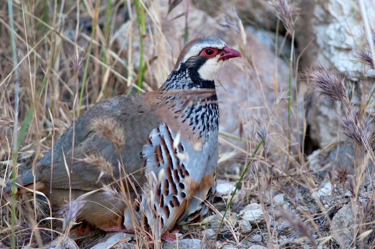
The existing fauna is typical of pine forests, with several species of birds that find refuge here. Among them are the Gran Canaria blue finch (Fringilla teydea polatzeki), the woodpecker or 'picapinos' (Dendrocopos major thanneri) and the blue tit (Parus caeruleus teneriffae).
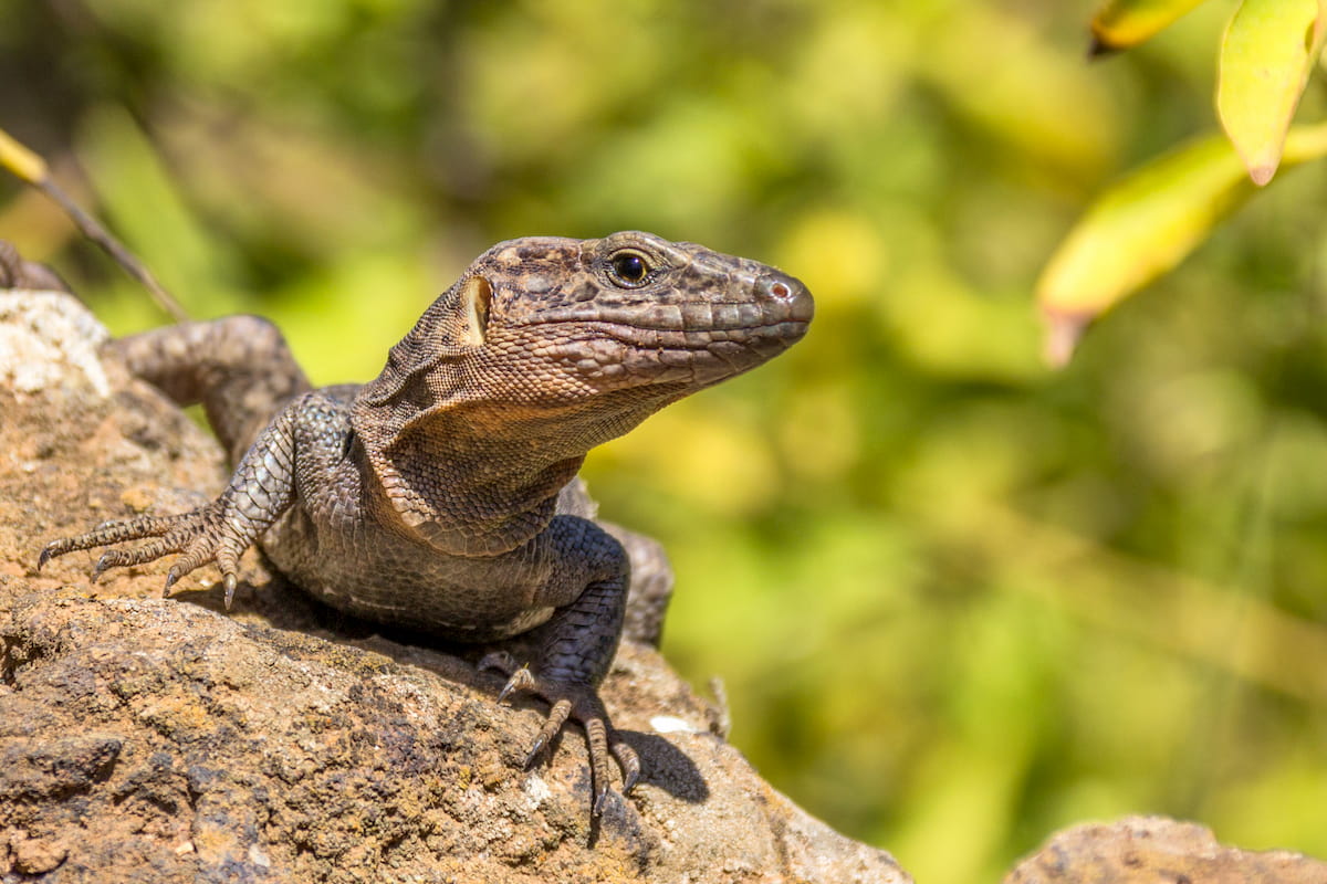
The area is also home to the giant lizard of Gran Canaria, which is the largest of the lizards in the Canary Islands, reaching up to 80 cm in length.
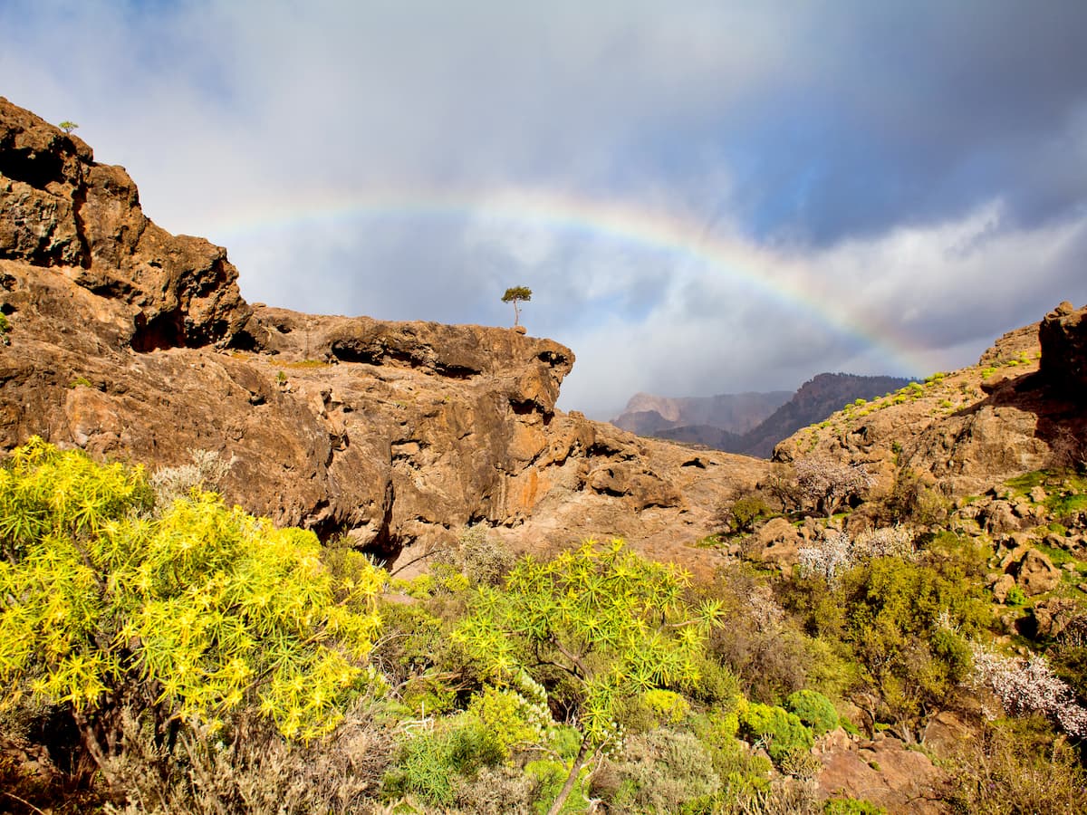
The Inagua Route introduces you to the Inagua Integral Natural Reserve, a place where nature and adventure form a single tandem.
The route allows you to explore the most arid and mountainous places on the island while maintaining the charm of the typical flora and fauna of the place. The roads that communicate from the neighbouring towns with the summit sector are located in the southwest of the island.
This is an ideal place to enjoy the most authentic hiking, accompanied by unbeatable views where you can appreciate not only the relief of the island, but also the relief of the western islands together with the splendour of the sea of clouds that forms there. This is, without a doubt, a route that will allow you to connect with the nature of the place itself and the charm and hospitality of the local residents.
If you’re brave enough, you can also take the Circular Mountain Route of Ojeda and Inagua, which is a 17.9 km trail located near La Aldea De San Nicolás. It has a river and is rated as difficult (some people say it’s even scary around the cliffs but definitely worth it.)
Tejeda is located in the centre of the island of Gran Canaria. The municipality is known for its volcanic geology. The spectacular natural monuments such as Roque Nublo and Roque Bentayga have become true symbols of the town, which is located inside a volcanic caldera.
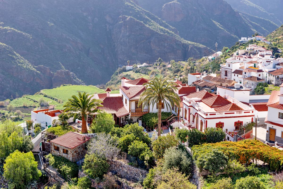
With an exclusive landscape and very unique characteristics, climbing in the vicinity of Tejeda would be a good experience to discover the sharp rocks and lavish green ravines of the area. Hiking and hunting will be other options for those seeking adventures.
It is also the ideal place for a rural getaway from the hustle, bustle and stress, where you can let yourself be seduced by the beauty of the peaks and the powerful balm of the unique nature of this part of the island.
San Nicolás is located in the western part of the island of Gran Canaria and in the municipality of La Aldea de San Nicolás de Tolentino, the village of San Nicolás is one of the most beautiful examples of the coexistence between man and nature that has characterised life on the island. San Nicolás is a true geomorphological monument that tells the story of life in the oldest part of the island.

With a unique morphology and character, San Nicolás opens up to the beaches that outline the western side of the town. Cliffs, small coves, ravines and steep rocky outcrops are the highest representatives of the town's aesthetics. Discovering their splendour will only depend on your desire to walk along their paths.
With a rich and varied culinary tradition, where tropical fruits and fresh fish are abound, and unique landscapes, San Nicolás has unique offerings to all those who want to throw themselves into the exploration of the greenest part of the island of Gran Canaria.
Mogán is a town on the island of Gran Canaria, next to Mount Tauro and close to the Cueva de las Niñas, Soria and Chira reservoirs.
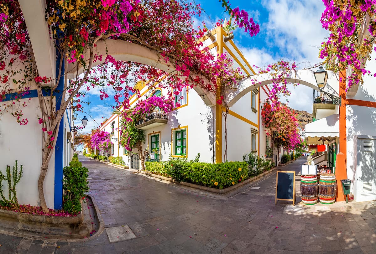
The valley opens to the sea just before crossing the maritime and tourist village of La Playa de Mogán. The landscape is truly agricultural, you will see how bananas, oranges, avocados and mangos are cultivated in the area.
In this village, the most important festivals are those of Nuestra Señora María Auxiliadora, San Antonio de Padua, and Nuestra Señora del Carmen, a festival that is very lively and wild.
Asador Grill de Yolanda: Following the historical tradition and being located in a cosy building decorated with noble woods, Yolanda's Grill has managed to become a reference point for checking out the cuisine of the area. It offers an interesting menu of traditional cuisine, including roasts which are super popular, a peculiar atmosphere and the protection of Roque del Nublo and Roque de Bentayga.
Address: C/Cruz de Tejeda, SN. Tejeda, Gran Canaria.
By car: You need to take the main access road to Roque Nublo, the GC-60, which passes through Tejeda and leads to other places such as San Bartolomé de Tirajana or Las Palmas de Gran Canaria.
Also, from Las Palmas towards Tejeda, take GC-150 road towards Roque Nublo.
By bus: You can take line 303 in the Parque de las Ranas that will take you to La Vega de San Mateo. From the south, you can take line 38 or line 18, which goes from Maspalomas to Ayacata in a journey of just over an hour.


The highest peak in Inagua Natural Reserve is Sandra, at 1,620 m.
Notable peaks in Inagua Natural Reserve include Sandra, Montaña del Sándara, Montaña de las Yescas, Lomo de los Almacenes and Montaña de las Monjas.


