Get PeakVisor App
Sign In
Search by GPS coordinates
- Latitude
- ° ' ''
- Longitude
- ° ' ''
- Units of Length

Yes
Cancel
❤ Wishlist ×
Choose
Delete
Hornstrandir, the land of the Arctic fox, is one of Europe’s last true wildernesses. Iceland's northernmost peninsula on the tip of the Westfjords (Vestfirðir), Hornstrandir is a nature reserve protecting the peninsula’s unique ecosystem and bustling bird cliffs. There are 66 named mountains in Hornstrandir. The highest and the most prominent mountain is Bláfell (736 m / 2,415 ft).
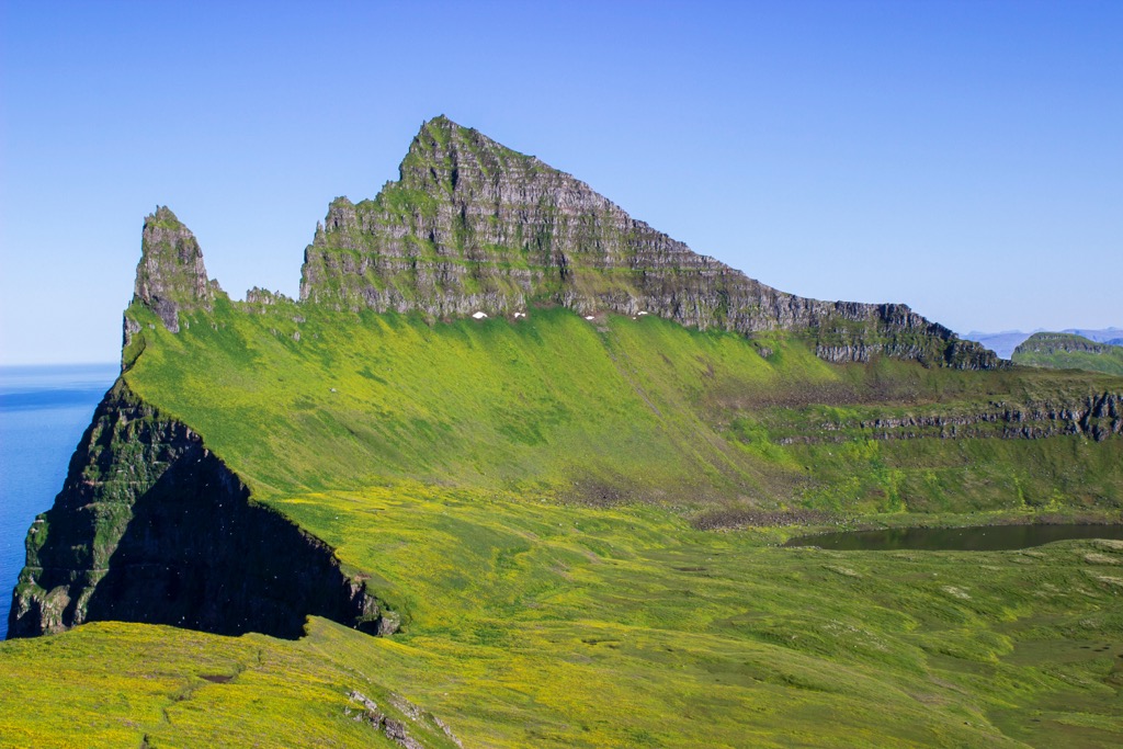
Hornstrandir encompasses approximately 589 sq km (227 sq mi) of tundras, low mountains, sea cliffs, and fjords. It's one of Iceland's most remote regions — no permanent settlements, no roads, and only a handful of summer residents. The peninsula has been a nature reserve since 1975.
While humans have all but disappeared in Hornstrandir, nature has flourished. One of the peninsula's main attractions is the sea cliffs around the bay of Hornvík, which include three of the largest sea cliffs overlooking the North Atlantic: Hælavíkurbjarg, Hornbjarg, and Riturinn. These sea cliffs are a paradise for bird watchers — over 5 million seabirds call these cliffs home during Iceland's short summer.
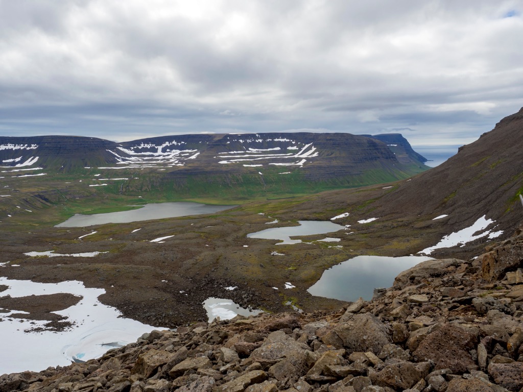
Hornbjarg is Hornstrandir's most iconic natural landmark and its most popular hiking destination. Its clifftop summits rise abruptly from the surrounding landscape before plummeting dramatically into the turbulent waters below. The highest summit of Hornbjarg is Kálfatindar (535 m / 1,755 ft).
Along Hornstrandir's southern coastline is the Jökulfirðir, or Glacier Fjords, a series of five fjords and bays. One of these fjords, Hrafnsfjörður, separates Hornstrandir from the rest of the Westfjords.
The Jökulfirðir is named after Drangajökull (840 m / 2,756 ft), Iceland's northernmost glacier, located just south of the peninsula. Several bays line the northern and western shores of Hornstrandir, including Aðalvík, Hornvík, and Fljótavík.
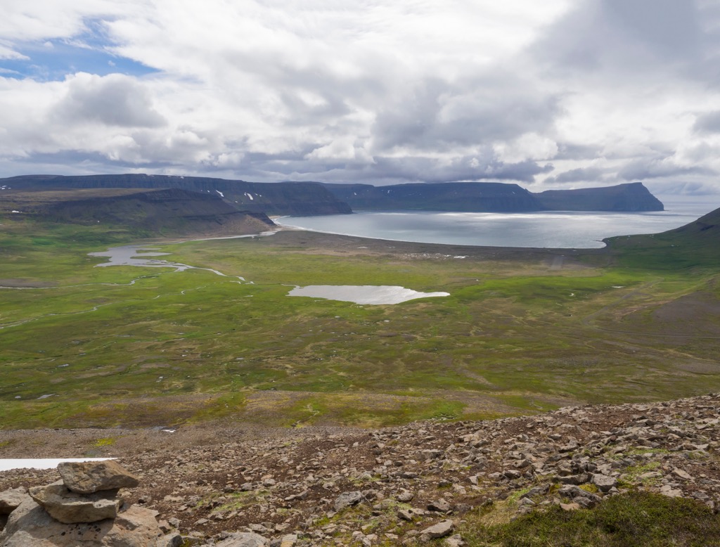
The nearest settlement to Hornstrandir is Ísafjörður, the Westfjords’ capital, from which there are ferries to Hornstrandir.
The Westfjords are one of Iceland's oldest geological regions, having formed from lava flows approximately 10 to 16 million years ago. It's a basalt plateau, with basement rock dating back to the late Cenozoic, roughly 14 to 16 million years ago.
The topography of Hornstrandir is lower in the west, with the plateau lying at an average of roughly 400 m (1,312 ft) above sea level. It slowly gains elevation, rising to 700 m (2,296 ft), with steep mountains to the south of Hornvík, including Bláfell (736 m / 2,415 ft) and Breiðuskarðahnúkur (709 m / 2,326 ft).
Unlike most of Iceland, Hornstrandir's landscape has been largely unaffected by glacial erosion, at least during the Weichselian glaciation between 115,000 and 11,700 years ago. Geologists believe a thin independent ice sheet covered Hornstrandir rather than active glaciers during this period.
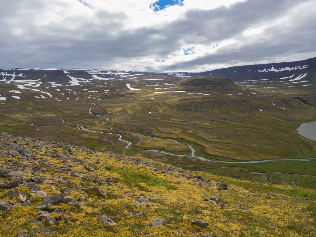
Following deglaciation, up to ten minor glacial cirques formed in Hornstrandir during the Little Ice Age, sometime between the 12th and 18th centuries.
These glaciers were confined to the eastern half of Hornstrandir, covering an area between 8 sq km (3 sq mi) and 10 sq km (3.8 sq mi). Most of these glaciers had disappeared by 1920, with a few cirques in northern Hornstrandir still holding minor glaciers with a total area of less than 1.5 sq km (0.6 sq mi).
Hornstrandir is one of the only areas of Iceland with a complete ban on fox hunting. As a result, it has Iceland’s population density of Arctic foxes and is the best place to spot these elusive predators, who prey on the millions of eggs laid by nesting seabirds.
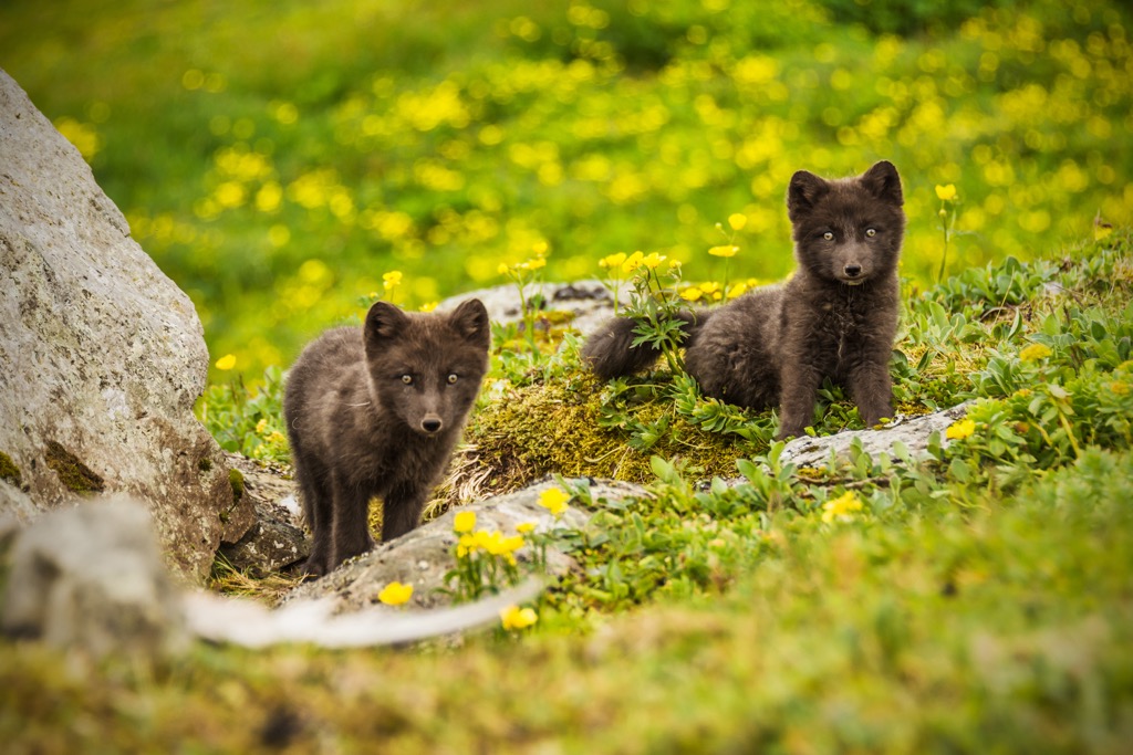
Due to a lack of hunting, Arctic foxes have no natural fear of humans and will often approach campsites and hikers in search of food. Mink, which escaped from fur farms in the 1930s, can also be found in Hornstrandir.
Along the shoreline and within the fjords of Hornstrandir, an array of aquatic mammals reside, including gray seals, sperm whales, and orcas. Polar bears and walruses are rare visitors to Hornstrandir, usually arriving from Greenland.
Bird lovers will feel at home in Hornstrandir. On the cliffs around Hornvík nest the world's largest colonies of common guillemots and Brünnich's guillemots.
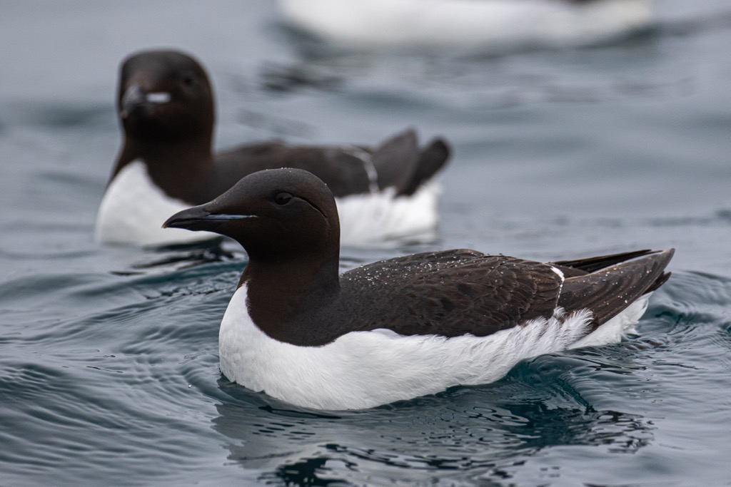
Significant populations of kittiwakes, puffins, fulmars, and razorbills also nest on these cliffs. Redshanks, sandpipers, golden plovers, and red-necked phalaropes thrive in lowland areas. Other notable bird species include Arctic terns, snow buntings, rock ptarmigans, common eiders, Arctic falcons, merlins, and sea eagles.
Roughly 260 plant species grow across the tundras of Hornstrandir, some of which are unique to the peninsula. Ferns and low-lying vegetation make up most of the plant life. Due to a lack of grazing animals, plant life has been undisturbed and can survive at up to 400 m (1,312 ft) in elevation.
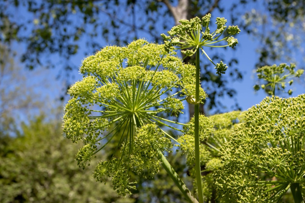
The peninsula is home to large areas of angelicas, white cotton grass, and sea thrifts. Mountain buttercups, roseroot, and geraniums are also common. Sea peas and sea lungworts grow along Hornstrandir's coastline.
The human history of Hornstrandir dates back to the Viking Age, when small communities of farmers and anglers lived across the peninsula.
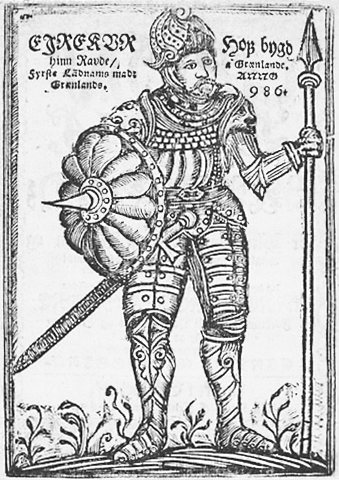
Thorvald Asvaldsson, father of Norse explorer Erik Thorvaldsson (Erik the Red), settled with his family in Hornstrandir in the late 10th century after his exile from Norway for manslaughter. One of Erik the Red's three sons was explorer Leif Erikson, believed to have been the first European to visit North America 500 years before Christopher Columbus.
Before the Second World War, life in Hornstrandir was harsh and potentially dangerous, even by Icelandic standards. Locals lived off the land and sea, and those brave enough to scale Hornstrandir's sea cliffs were rewarded with protein-rich eggs.
In the early 20th century, Hornstrandir was home to a small population that lived on farms or in one of three villages: Sæból, Hesteyri, and Latrum. Hesteyri was the largest of these villages and, at its height in the late 19th century, had a whaling station and herring factory which provided work to locals.
Hornstrandir was also home to two military bases: Straumnes Air Base, which the United States Air Force operated during the 1950s, and a Second World War British Royal Air Force radar station on Darri (638 m / 2,093 ft).
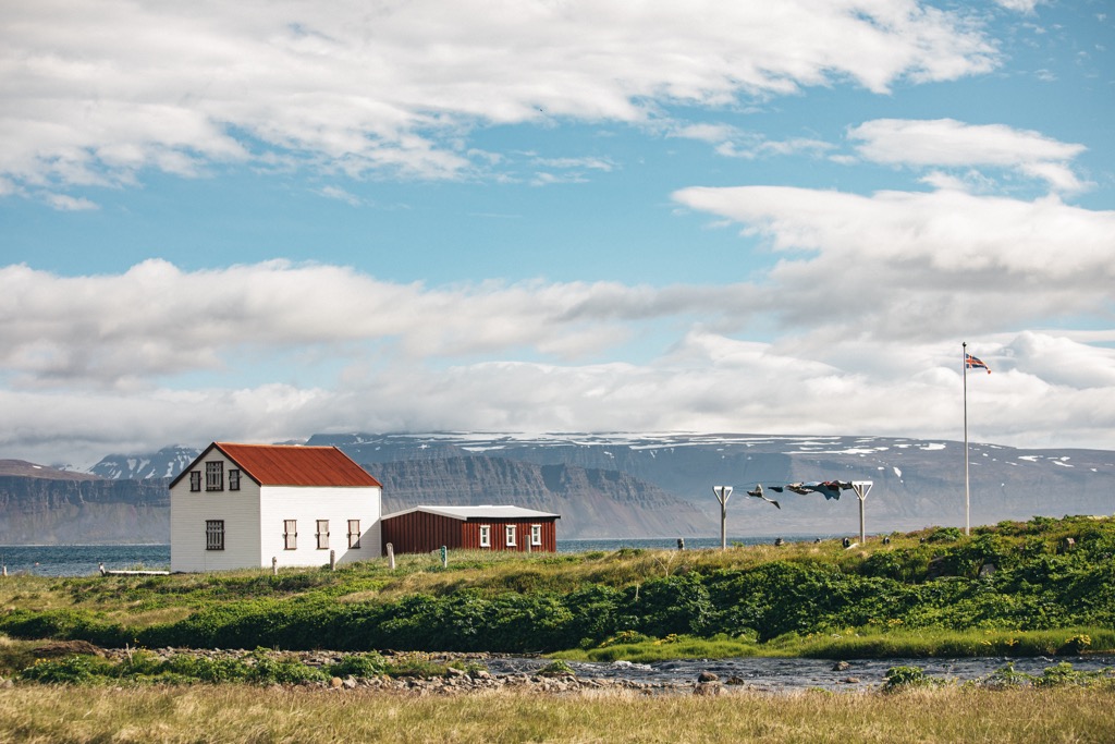
Societal changes and job opportunities in larger towns drove Hornstrandir's population away by the mid-20th century. The last inhabitants left in 1952. Some descendants of Hesteyri's original settlers have returned and restored several houses as summer residences.
Hornstrandir Nature Reserve was established in 1975 to protect the peninsula's unique flora, seabird cliffs, and Arctic fox population. Today, Hornstrandir is a popular destination for tourists looking to explore one of Europe's last untouched wildernesses.
I Remember You (Ég Man Þig), a novel by celebrated crime author Yrsa Sigurdardottir, takes place in Hesteyri on Hornstrandir. The book is very popular in Iceland and has been adapted into a film.
Hornstrandir is one of Iceland's most isolated areas — there are no roads, and it's only accessible by boat or foot. The best time to visit Hornstrandir is between June and August, when the few hostels and guesthouses on the peninsula are open.

There are no shops in Hornstrandir. There's little to no phone signal, and you can walk for days without encountering another living soul.
As a result, you should be well-prepared when visiting Hornstrandir. Bring plenty of food, warm clothing, and appropriate hiking gear. Check up-to-date weather forecasts and inform others of your itinerary. A local guide is recommended when exploring Hornstrandir for the first time.
The Environment Agency of Iceland has produced a complete map of hiking trails in Hornstrandir, which can be found here.
There are three main guesthouses in Hornstrandir:
The Hornvík Loop is easily the most popular hiking trail in Hornstrandir. It leads to Hornbjarg, the most stunning cliffs in Hornstrandir and home to millions of nesting seabirds. The trail starts from the Hornvík Camp, Hornstrandir's largest campground, which includes a heated cooking tent.
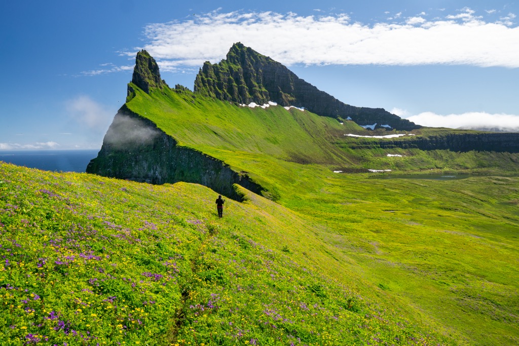
After walking for approximately 1.5 km (1 mi), you'll cross the Hafnarós River, which can be up to 0.6 m (2 ft) deep, so waterproof legwear is essential.
After walking along Hornbjarg cliff tops, you can take a short but steep detour to the summit of Miðfell (344 m / 1,129 ft) for panoramas of Hornvík. The Hornvík Loop is approximately 16 km (10 mi) long.
Walk the width of Hornstrandir on the Veiðileysufjörður – Hornvík trail. It leads from the Veiðileysufjörður Campsite and Ferry Pickup to the Hornvík Camp, making it ideal for a day hike. This hike is one of the Royal Horn (Hornsleið) stages, a multi-day hike that zigzags across Hornstrandir.
The start of the trail around Veiðileysufjörður is boggy, so waterproof footwear is a must. Lónhorn (451 m / 1,480 ft), just northwest of the Veiðileysufjörður Campsite, is a popular detour.
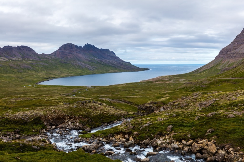
You'll follow large cairns over the Hafnarskarð Pass (519 m / 1,703 ft), a steep climb that's snow-covered year-round. The top of the Hafnarskarð pass is the highlight of the trail, with breathtaking views of Veiðileysufjörður and Hornvík. The trail from Veiðileysufjörður to Hornvík is approximately 11 km (7 mi) long.
Consider hiking from Sæból to Darri (638 m / 2,093 ft) to explore the ruins of Hornstrandir's Second World War British radar station. The trail to Darri is not well-marked, so map your route carefully.
From the Sæból Campsite, cross the Traðará River and follow the path through the Garðadalur Valley. Darri's ascent is steep and relatively tricky but should be manageable for anyone visiting Hornstrandir.
From atop Darri, you'll follow a short road to the remnants of the old radar station. Descend the way you came. The walk from Sæból to Darri is an 8 km (5 mi) round-trip.
Take a trip to the tip of Hornstrandir and the abandoned Straumnes Air Base with a hike up Straumnesfjall (465 m / 1,526 ft). One of the best day hikes around Aðalvík, Straumnesfjall is a relatively easy hike thanks to old roads built by the U.S. in the 1950s.
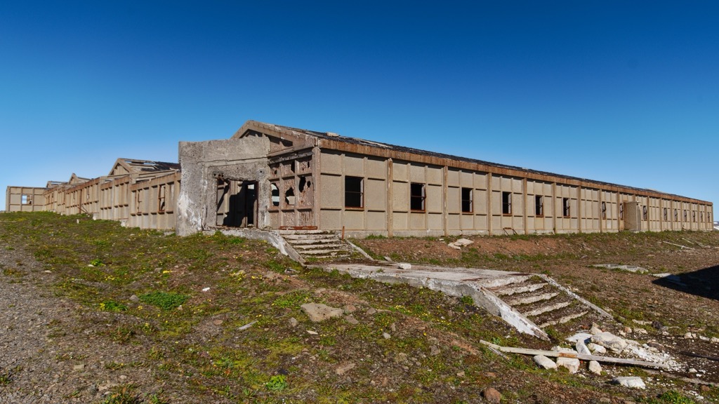
You can pick up the trail to Straumnesfjall from Látrar in Aðalvík Campsite. The road leads west over Straumnesfjall, with outstanding views of Aðalvík.
After exploring the old air base, descend via Straumnesfjall's eastern route through the Öldudalur Valley. You can also extend your hike to Rekavíkurvatn, a picturesque 1.6 sq km (0.6 sq mi) lake. This looped trail to Straumnesfjall is approximately 8.6 km (5.3 mi).
Kirfi near Hvannadalshorn (580 m / 1,903 ft) is the perfect hike if you're searching for an adrenaline rush in Hornstrandir. A popular hill among locals, the hike to Kirfi from Rekavík in Höfn leads along a narrow strip of seacliff with near vertical drops.
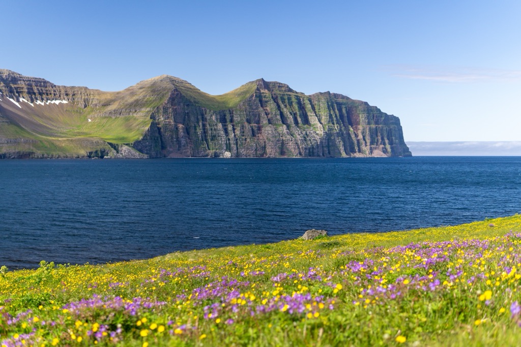
To reach Kirfi, you'll need sure-footedness and a head for heights. The trail is swampy at the start, so dress accordingly. One of the best reasons to undertake this hike is the panoramas of the Hælavíkurbjarg sea cliffs, among the finest views on the peninsula. This hike from Rekavík to Kirfi is approximately a 5 km (3 mi) round-trip.
The Hornsleið (Royal Horn) is the most popular multi-day hike in Hornstrandir, covering over 80 km (50 mi) from Veiðileysufjörður up to Hornvík and around Hornstrandir’s coastline, finishing at Hesteyri.
As mentioned, the first stage of Hornsleið is from Veiðileysufjörður to the Hornvík Campsite, which is detailed above. The trail then leads to the Hornbjarg bird cliffs before doubling back on itself, passing Skálarkambur (349 m / 1,145 ft) and the Hlöðuvík Campsite.
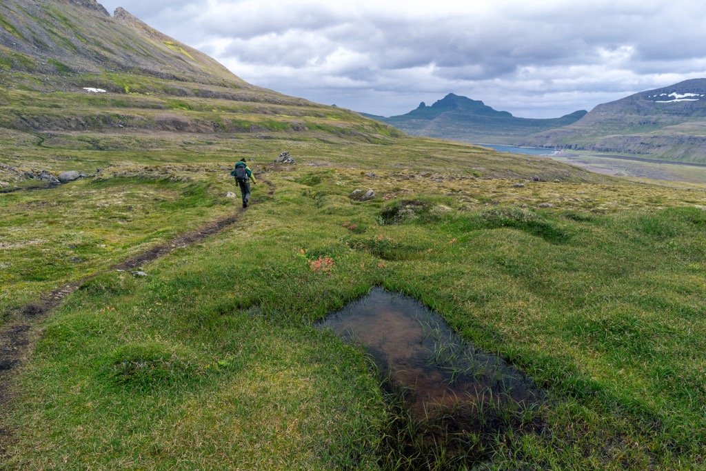
The Hornsleið then cuts inland to search the shores of Fljótsvatn before continuing southwest to reach the Látrar Campsite. The trail then skirts around Aðalvík and along the edge of Staðarvatn lake before finishing at Hesteyri. It's recommended you hire a guide for the Hornsleið due to its length and scope.
Backcountry skiing is possible within Hornstrandir, with private tours from the Kvíar Ski Lodge operated by Borea Adventures.
The lodge is located between Veiðileysufjörður and Lónafjörður, less than 10 km (6 mi) from the Veiðileysufjörður Campsite and Ferry Pickup. Kistufell (452 m / 1,483 ft), Bláfell, and Hvítserkur (514 m / 1,686 ft) are mountains often included on private ski touring itineraries in Hornstrandir.
You'll need to plan carefully when visiting Hornstrandir due to its isolation and lack of amenities. The nearest international airport to Hornstrandir is Keflavík International Airport, located 450 km (280 mi) from Ísafjörður, the capital of the Westfjords.
Ísafjörður Airport is a small regional airport that operates flights to and from Reykjavík City Airport. Flying into Ísafjörður Airport is one of the best and only ways to reach Ísafjörður, aside from renting a car and driving from Reykjavík.
Ísafjörður is the Westfjord's largest settlement, with a population of roughly 2,600. It's the best base from which to explore Hornstrandir — it's home to the Hornstrandir Visitor Centre and the main ferry terminal for boats to Hornstrandir.
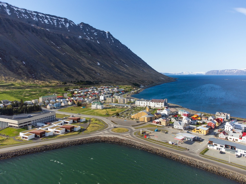
Despite its small size, Ísafjörður is well-equipped with amenities such as a hospital, restaurants, and hotels. Ísafjörður also hosts a few annual events, including the Aldrei fór ég suður music festival every Easter and the Fossavatnsgangan ski marathon in April.
Bolungarvík is a small village located approximately 14 km (8.7 mi) north of Ísafjörður. It has a population of roughly 1,000 people.
Bolungarvík is among the best places to stay when visiting Hornstrandir as there are several weekly ferries from the village to Veiðileysufjörður and Aðalvík operated by HornstrandirTours.
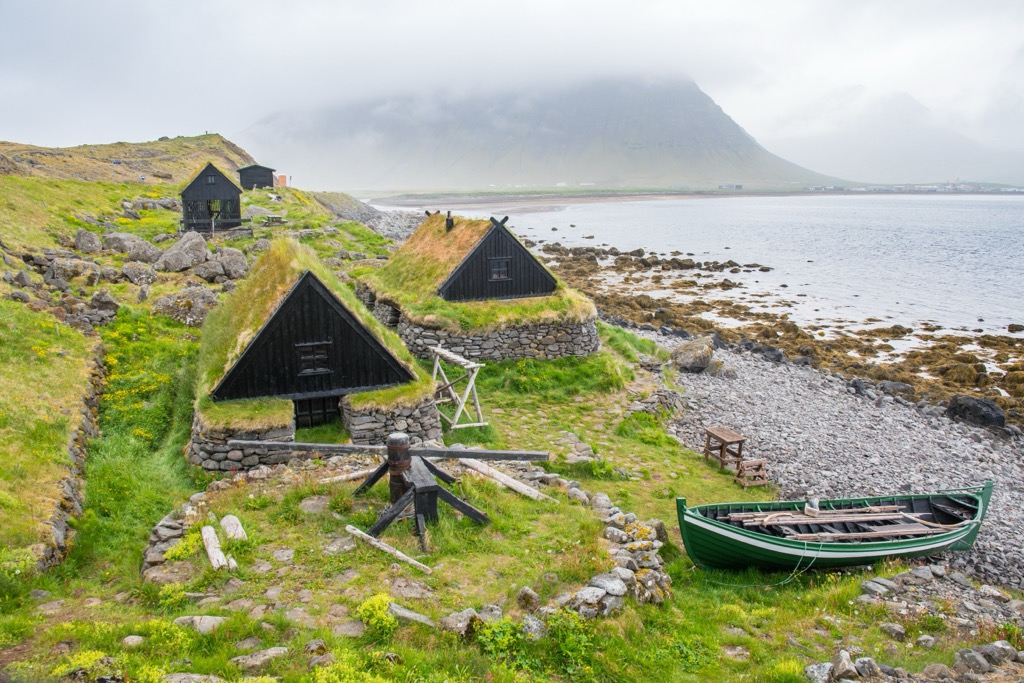
Bolungarvík has some interesting local attractions, including the Ósvör Maritime Museum, which features recreations of 19th-century fishing huts and has the most extensive collection of taxidermy birds in Iceland. The summit of Bolafjall (622 m / 2,041 ft) near Bolungarvík provides views across the Jökulfirðir fjords to Hornstrandir.
Hólmavík is the largest settlement in the Strandir region of Iceland, with a population of 375 people.
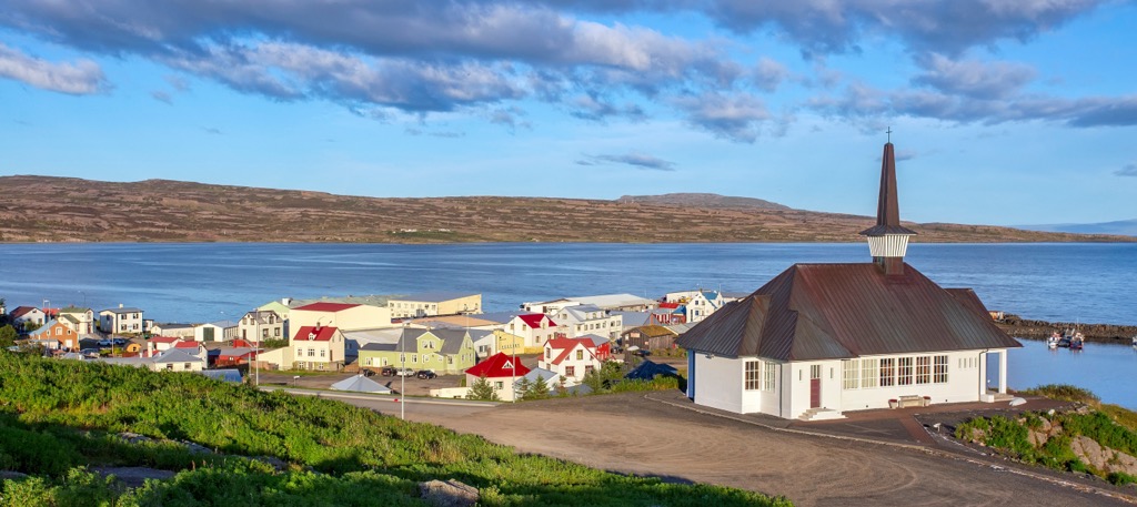
Nestled along the Steingrímsfjörður, Hólmavík serves as a gateway community to the Westfjords and is an excellent spot to stop on your way to or from Hornstrandir. Hólmavík is located approximately 225 km (140 mi) from Ísafjörður.
Hólmavík offers interesting local attractions like the Museum of Icelandic Sorcery and Witchcraft and helpful amenities, including restaurants, convenience stores, and overnight accommodation.
Explore Hornstrandir with the PeakVisor 3D Map and identify its summits.


