
Scan the QR code and open PeakVisor on your phone
Located on the Argentinian island of Tierra del Fuego lies the Tierra del Fuego National Park. Established back in 1960, the park spans 243 square miles across the island. There are 17 named mountains in Fire Land National Park. The park is known for its diverse landscape, dramatic waterfalls, mountains, forests, and coastline. Because of the park’s immense biodiversity and diverse landscapes, it is classified as an International Union for Conservation of Nature. The park encompasses the southernmost region of Argentina, extending from the border to Chile to the Beagle Channel. Tierra del Fuego National Park is also part of the southern section of subantarctic forest.
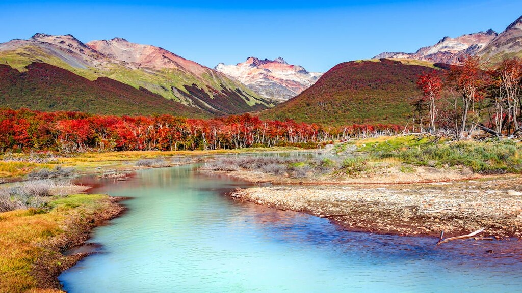
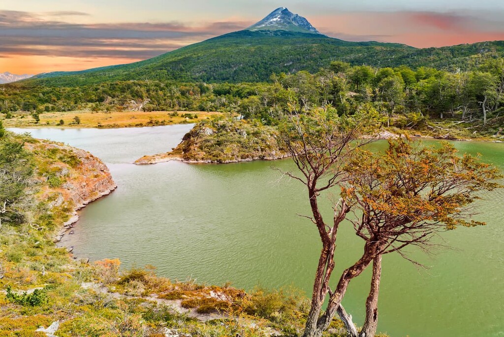
Cerro Tonelli is the highest point at 4,465 feet. The most prominent mountain is Cerro Lago with 3,501 feet of prominence. From the ocean up to the tallest peaks, the park is home to diverse landscapes full of rivers, lakes, mountains, and valleys. The two distinct eco-regions within the park are part of the Altos Andes and the Patagonian Forest. The largest lake within the park, which also happens to be the largest southern lake besides those in Antarctica, is known as Lago Fagnano. The lake spans into both Argentina and Chile with a large majority of it being in Argentina.
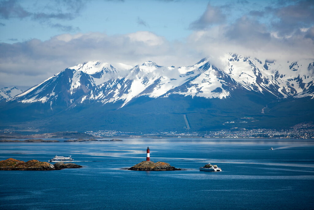
The Beagle Channel that runs through the park, is also known as the strait in Tierra del Fuego National Park. The strait runs east to west for 150 miles and separates islands within the Tierra del Fuego archipelago. Another popular attraction within the park is the End of the World Train. Known as the southernmost train in the world, allows the park to be accessed near Ushuaia.
While there are numerous peaks within the park, much of the landscape is dominated by forests, consisting primarily of coihue, nires, and lenga. Forested landscapes rise from the sea level up to around 2,000 feet. Above the tree line the rugged peaks are lined with small bushes and grasses. The park is also home to a wide range of flowers. Calafate, chaura, and michay are popular as well as strawberry devil, yellow orchids and black bush.
The location of the park, along the southern tip of Argentina, has led to many animal species being introduced from European and American settlers. These settlers are responsible for the current populations of the North American beaver, muskrat, and gray fox. Other animals in the park include the guanaco and the Andean fox. The park is also home to over 90 species of birds including sheldgeese, ashy-headed goose, Patagonian woodpeckers, condors, eagles and various others. At the sea level, the park is home to sea lions, multiple species of penguins, scallops, crustaceans and fish.
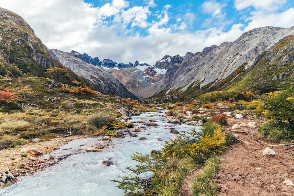
Martial Glacier Trail: The Martial Glacier Trail is one of the most popular routes in the park. The trail is 3.5 miles roundtrip with just over 1,500 feet of elevation gain. The trail winds through the forest and past creeks before climbing up towards the massive glacier. From the summit visitors can see the rushing river cascading out the mountains as well sweeping views of the Beagle Channel down below.

Esmeralda Lagoon Trail: Esmeralda Lagoon Trail is 5.4 miles roundtrip with just 826 feet of elevation gain. The trail climbs steadily up along the side of the mountain before reaching the pristine waters of the lagoon. The route offers views of the native Patagonia forest before arriving at the blue green colored lake. Small waterfalls are also visible along the climb up to the lake.

Cerro Guanaco Summit Trail: Some of the best views in the entire park can be found atop Cerro Guanaco. The trail follows along the end of Roca Lake before climbing steeply up to the summit. The trip is 8.4 miles round trip with 3,400 feet of elevation gain. But the steep climb to the summit is worth the views. Once there, visitors have panoramic views of the national park and it’s Patagonian landscapes.
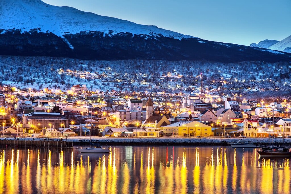
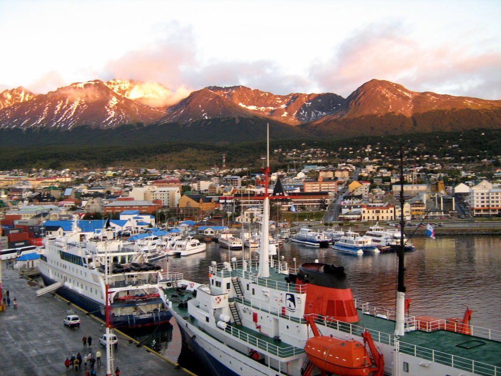
Located along the southwestern tip of the Isla Grande deTierra del Fuego lies Ushuaia. The city is home to around 60,000 residents and is the southernmost city in all of Argentina. Not only is it the largest city in the region, but it is the only municipality in the Department of Ushuaia. The nearest major city, Punta Arenas, lies 152 miles away in Chile. Despite being such a southern city, the land surrounding Ushuaia is heavily forest with moderately cold temperatures. The city is a popular tourist destination with providing access to Tierra del Fuego National Park. Ice hockey and skiing are common activities amongst locals and tourists alike.


.jpg)


