Get PeakVisor App
Sign In
Search by GPS coordinates
- Latitude
- ° ' ''
- Longitude
- ° ' ''
- Units of Length

Yes
Cancel
❤ Wishlist ×
Choose
Delete
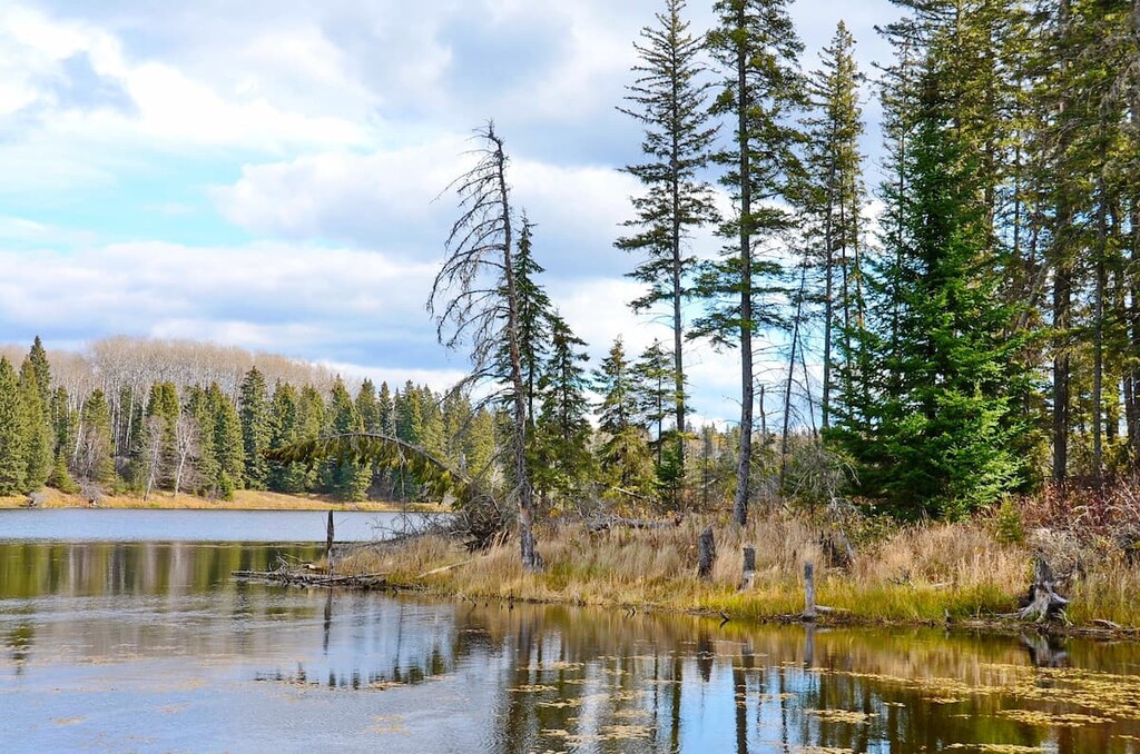
The Duck Mountain Provincial Park is located in Manitoba, Canada, along the western border of the province. The park spans 550 square miles and was established back in 1961. There are 10 named mountains in Duck Mountain Provincial Park. The highest and the most prominent mountain is Baldy Mountain at 2,677 feet with 1,230 feet of prominence. This park lies within the larger Duck Mountain Provincial Forest.

The land that the park protects is considered forested highlands. The Manitoba, lowlands lie to the east of the park with the Saskatchewan prairie extending to the west. Baldy Mountain isn’t just the highest peak in the park, but also the highest in the entire province. The Duck Mountains, for which the park was named after, are part of the large Manitoba, Escarpment that runs along the Manitoba, and Saskatchewan border.
Today the Duck Mountain Provincial Park protects the southern reaches of the boreal forest. In this section of the park much of the forest consists of spruce, larch, pine and aspen trees. The flatter lands that stretch out the east, are home to abundant soil, making them ideal for farming. Because so much of this land has been converted to farmland, the larger mammals of the region must seek refuge in the forested hills.
Common animals that live within the Duck Mountain Provincial Park include black bear, moose, elk, bobcat, wolves, and even the elusive wolverine. While these animals seek refuge in the forests, the deer and coyotes can often be seen in the flatlands. Despite being a provincial park, both logging and hunting is allowed within the park boundaries.
Blue Lakes Trail: the 3.3-mile Blue Lake Trail is full of viewpoints throughout. The loop trail has just 350 feet of elevation gain and follows the shorelines of both West Blue Lake and East Blue Lake. Though along the shoreline, the trail winds through forests, rolling hills, and even wetlands along the way. The first half of the loop offers more viewpoints with the second half being more forested.

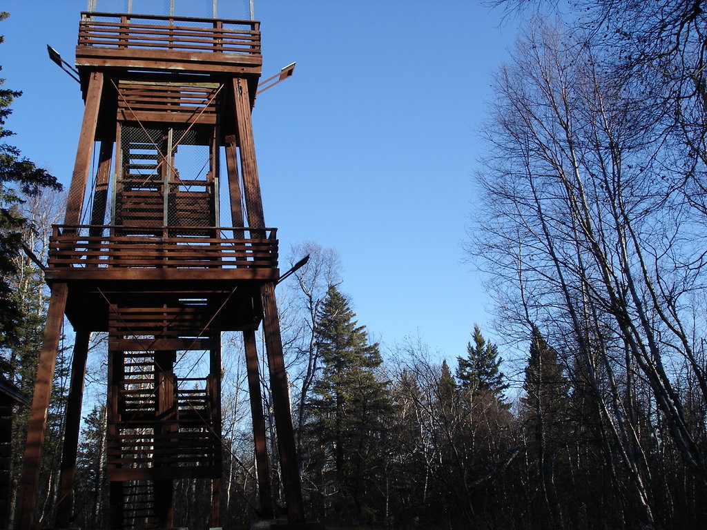
Baldy Mountain Trail: The trail to the tallest peak in all of Manitoba, is just 1.8 miles roundtrip with 300 feet of elevation gain. At the top of the forested peak lies a viewing tower. Hikers can climb up the many steps in order to enjoy panoramic views of the park, lowlands, and lakes below. A short hike that offers one of the best views in the region.
Shining Stone Trail: Along the east side of West Blue Lake lies the Shining Trail. This short one mile trail has just 100 feet of elevation gain and offers views of the lake with benches along the way.
One of the nearest towns to Duck Mountain Provincial Park is Dauphin, located approximately one hour south. The city has a population of about 10,000 and is known as the “Garden Capital of Manitoba”. Much of the economy of the city is reliant on farming and outdoor recreation, within the greater Parkland region. Amongst the small downtown are local museums, restaurants, and cafes.
The city of Winnipeg lies four hours southeast of the Duck Mountain Provincial Park. Winnipeg has a population of nearly 800,000, making it the largest within the entire province of Manitoba,. Because of the size of the city, Winnipeg is a hub for transportation, festivals, and professional sports teams. Visitors to the city can explore the local museums, zoo, art galleries, local restaurants, or experience the Nordic spa. Within the city are also opportunities for tobogganing, skating, and ice hockey throughout the winter months.

Explore Duck Mountain Provincial Park with the PeakVisor 3D Map and identify its summits.


