Scan the QR code and open PeakVisor on your phone
The Parque Nacional La Campana is a fascinating and historic park located among the coastal mountains of the Región de Valparaíso. The park has several claims to fame, including one of the last natural forests of the endemic Chilean palm tree, and a namesake mountain once climbed by Charles Darwin, whose descriptions of the park’s unique species was significant in Chile recognizing the park’s value.
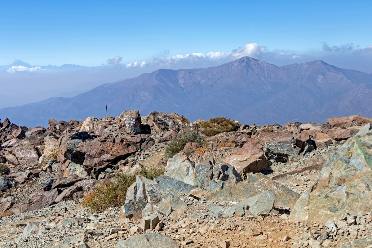
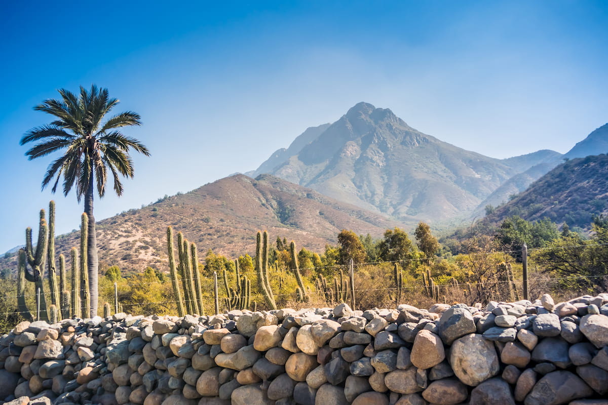
The mountain Darwin climbed was Cerro La Campana, which, while culturally significant, is not the tallest in the park’s boundaries. That honor belongs to the Cerro El Roble at 2,222m/7,290ft, also standing as the most prominent mountain by far with a prominence of 1,401m/4,596ft.
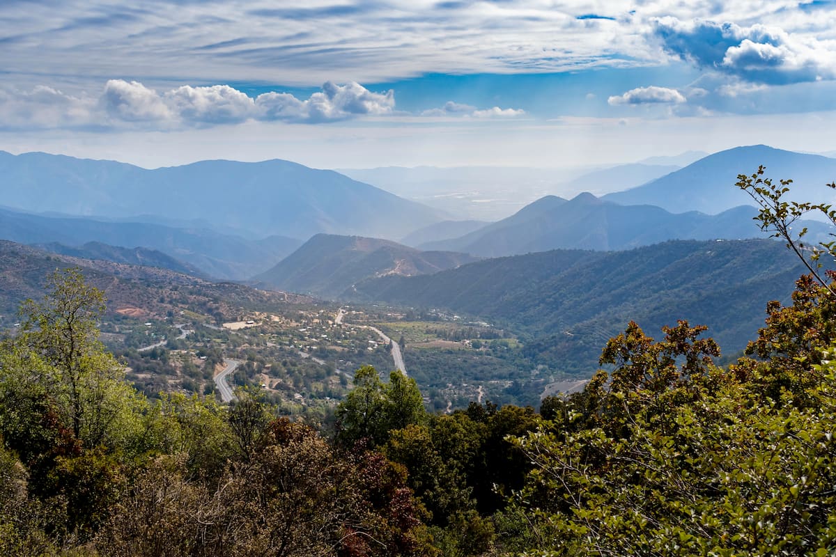
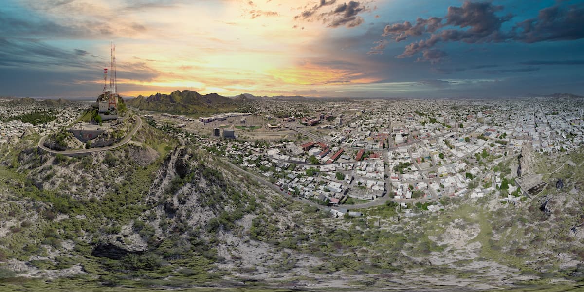
The Parque Nacional La Campana, covering an area of about 8,000 hectares in eastern Valparaíso, straddles the border of the Provincia de Marga Marga and the Provincia de Quillota, though most of its land lies within the latter. The park lies in the central portion of the Chilean Coastal Range running along the Pacific shore, namely as part of the Vizcachas Range.
Its name comes from the Cerro La Campana, with La Campana translated as “the bell” in Spanish, as the shape of the mountain resembles a bell when viewed from the nearby Aconcagua Valley.
Three sectors make up the park’s landscape: Granizo, Palmas de Ocoa, and Cajón Grande, each occupying the three major basins. Granizo, where the Cerro La Campana lies, is the smallest of these.
The park has been a spot of mining activity for many years, owing mainly to the volcano-sedimentary sequence of the Lo Prado formation, a Lower Cretaceous formation made largely of andesites and various sediments.
Some of the metals and minerals found in the park’s boundaries are gold, silver, magnetite, pyrite, hematite, galena, and many others.
La Campana’s location within the Chilean Coastal Range makes its bedrock part of the Coastal Batholith of central Chile, structured by igneous rocks once constituting a proto-Andean magmatic belt.
The oldest part of La Campana is the area around Las Campanitas to Santa Teresa. This area is made up of crystalline rocks that once were part of the batholith the aforementioned Lo Prado formation was intruded by, some 135 million years ago.
Most of the rocks of La Campana, however, commonly gabbros or granodiorites, are from the Upper Cretaceous to Lower Tertiary period.
Since 1984, the Parque Nacional La Campana has been designated a Biosphere Reserve by UNESCO for its immense natural value. The park has a typically Mediterranean climate, with rain concentrated in the winter months (around 480mm/year) and sparse in the summer (around 120mm/year). The weather is usually temperate at an average of 18ºC/64ºF, although differences are noticeable both between seasons and between times of day.
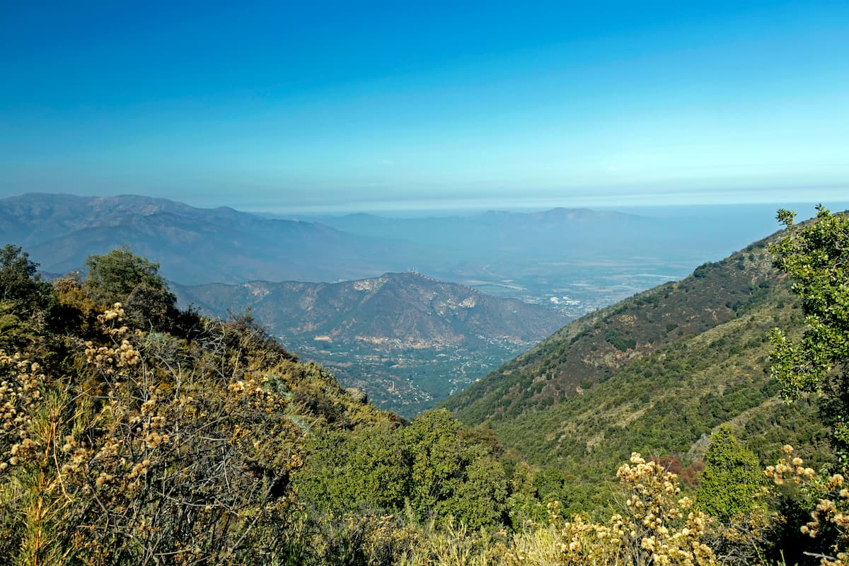
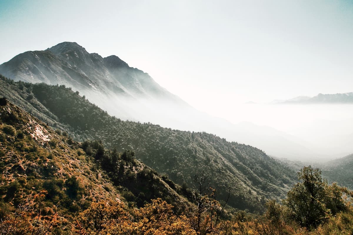
The mountainous relief of the Chilean Coastal Range that constitutes the park results in variations in climate and ecosystem depending on elevation and orientation, resulting in four categorized local climate zones: windward, leeward, umbria, and solana.
The umbria zone has the highest humidity and rainfall with cooler temperatures, making it the greenest zone in the park, while the solana zone has the highest temperatures.
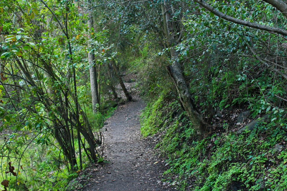
The windward zone, oriented towards the coast, is generally wetter than the leeward, with little rainfall, little humidity, and an arid climate. Southern exposure, however, allows for the Caleu basin of the leeward zone to support sclerophyllous and Valdivian forests.
Sclerophyllous forests are known for their hard, thick leaves adapted to survive Chile’s dry seasons, but they have become increasingly rare due to deforestation. Valdivian forests are one of the only temperate rainforests in South America, known for their dense understories and evergreen trees.
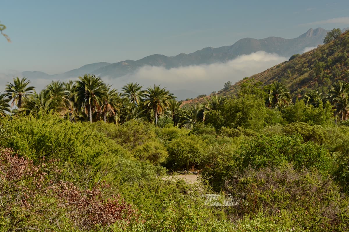
The Palmas de Ocoa, however, is considered one of the park’s major ecological attractions, due to its forests of around 62,000 Chilean walm palm trees. The sector also contains sclerophyllous foliage.
This vast diversity in ecosystems has resulted in a truly immense community of plants in the Parque Nacional La Campana, from shrubs to trees to flowers and everything in between, with many of them endemic either to Chile or to the park specifically.
Almost all of the trees are evergreen, save for a few exceptions such as the oak tree. On north-facing slopes are numerous succulents, which tend to dominate the vegetal landscape of those regions. The park also contains several endemic orchid species, which are otherwise rather rare in Chile, and are but one type of endless wildflower species that populate La Campana.
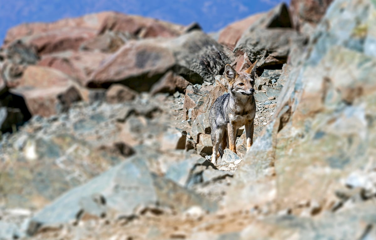
The park not only boasts intense diversity in flora, but fauna as well. Foxes, pumas, rare cats such as colocolos and güiñas, lesser grisons, and Chilean chingues, a skunk subspecies endemic to central Chile, are some of the main carnivores that reside in the park.
Many species of rodents, such as degus, vizcachas, coruros, and various types of mice, can be found in the park, of which a large portion are endemic to the central Chilean region. Other mammals include rabbits, hares, and the Chilean mouse opossum.
As for birds, the area is mainly known for its wide variety and large populations of songbirds, though those are far from the only types of birds in the park, with condors, owls, and many others as well.
The park contains numerous species of reptiles, often found in the mornings, when they like to sunbathe. They can be found at many altitudes throughout the park, from the endemic wreath tree iguanas of the lower grasslands to the endemic jewel lizard at up to 1450m/4,757ft above sea level and more. The largest lizard of the park is the Chilean iguana.
Lastly, there are two species of snakes that can be found in the park: the short-tailed and long-tailed snake, neither of which are particularly venomous. They reside in the same habitats and have similar predators of raptors, foxes, and grisons.
Archaeological evidence suggests early human settlements in parts of the park, including the Llolleo and the Bato peoples. The Llolleo likely inhabited the area from around 300 to 900 AD, while evidence of the Bato is harder to make out, though they were likely an older culture.
After 900 AD and leading up to the arrival of the Spaniards, La Campana was occupied by people of the Aconcagua Culture. There are many curious prehispanic artifacts, including small cups similar to those found much farther north in the Valle del Encanto.
There have also been mortars and grinders found, perhaps used for fruit from the Chilean wine palm or peumo. For years, the guanaco, alongside degus and vizcachas, were an important source of meat, but now the guanaco is extinct in the area.
Spanish colonization resulted in a subjugated indigenous population, as the Spaniards sought to exploit the gold resources in the area. Records show an increase in mining activity throughout the 1700s, though of course, mining activity had been prevalent long before and long after this time.
After Chilean independence, La Campana began to take on a role of increased environmental significance, especially with the 1834 expedition of Charles Darwin up the Cerro La Campana. Industrial mining activity also picked up in the middle of the 19th century, peaking later on in the early 1900s. Mining continued on a smaller scale afterwards until 1994, when exploitation of the last deposits was officially ended.
The Parque Nacional La Campana’s size, diversity, and popularity has resulted in numerous trails and opportunities for visitors to explore.
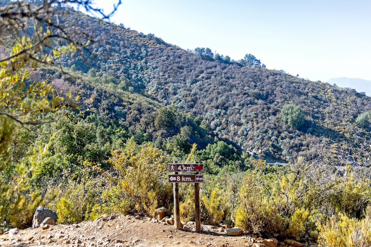
One of the more frequented trails is the Sendero El Andinista of the Granizo sector, an 11.4km/7.1mi out and back trail up the Cerro La Campana, with an elevation gain of 1,450m/4,757ft. Though a difficult trail, taking around 8.5 hours to complete, it boasts beautiful natural scenery and amazing views at the top of the Pacific and the Andes, which make it all the more worthwhile.
The Sendero Los Peumos is a connecting trail between the three sectors of the park, taking the traveler through several distinct ecosystems. This 2.7km/1.7mi trail requires around 3 hours one-way.
In the Cajón Grande sector, there is the Plateaux trail of around 4.2km/2.6mi taking 2.5 hours, which offers a viewpoint of the Cajón Grande basin. There is also the Los Robles-Portezuelo trail, a 4.4km/2.7mi trail taking around 3 hours through the forest.
The Palmas de Ocoa sector offers the Salto La Cortadera, a 4.4km/2.7mi trail requiring around 2.5 hours to complete that leads to a 25m/82ft high waterfall, and the El Amasijo 7km/4.3mi in length, which requires around 3 hours and offers the best experience of the Chilean wine palms.
Other notable trails include:
Parque Nacional La Campana has a convenient location between several major Chilean cities, making it fairly easy to travel to and from.
It would be remiss not to include the Chilean capital of Santiago, only an hour and a half’s drive southeast. Chile’s largest city at over 5,000,000 people, and one of the largest in the Americas, Santiago is a necessary stop or stay in central Chile.
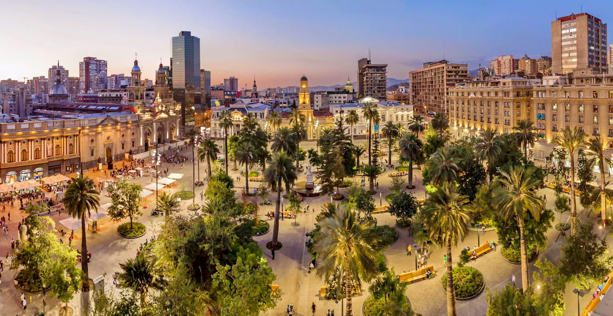
Santiago is a thoroughly metropolitan city with a rich cultural history and natural sights within its borders. The Historic Center at the Plaza de Armas, Mercado Central, Cerro San Cristóbal or Cerro Renca are some of the notable sights in the city, but there is certainly far more to explore.
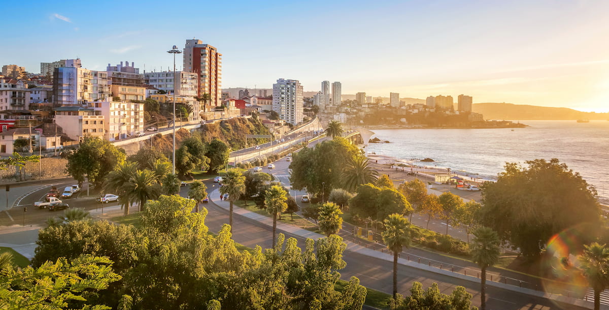
About an hour and a half westward is the unique and stunning city of Valparaíso, the Región de Valparaíso’s capital with around 280,000 people. The city has a long history as an important Chilean seaport and naval base, and in the 20th century became a likewise important educational center, with several large universities.
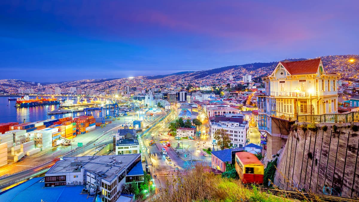
Located on the slopes of a seaside hill, some of the city’s main attractions are the funiculars used to get from place to place. Upon the slopes are narrow streets, candy-colored buildings, beautiful street art, and viewpoints of the Pacific, all throughout the city are examples of the architecture, history, and vivacity that has deemed it Chile’s Cultural Capital.
No trip to Valparaíso is complete without seeing Viña del Mar, only minutes away, and vice-versa. The large coastal city of Viña del Mar attracts attention for its combination of typical seaside high-rises and atypical castles and mansions, now deemed national monuments for their rich architectural heritage.
Viña del Mar also possesses vast white sand beaches with beautiful sunsets, a famous Art Deco-style casino, and seasonal festivals that celebrate its cultural and artistic background.