
Scan the QR code and open PeakVisor on your phone
Bwindi Impenetrable National Park has 22 named peaks. The highest is Nyaigulu at 2,503 m. Other notable peaks include Rwamunyonyi, Bubale and Nyambatabata.
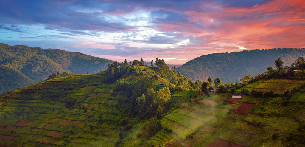
Bwindi Impenetrable National Park is one of the 10 national parks of Uganda, a country in East Africa, located in the west of its territory in the region of the Great Lakes of Africa. The main feature of the park is a large primeval forest of the same name, Bwindi, with rich flora and fauna. For example, there are 160 species of trees alone. As part of the East African Rift, there are 22 named mountains in Bwindi Impenetrable National Park. The highest and most prominent mountain is Nyaigulu (2,503 m / 8,212 ft).

The highest peak in Bwindi Impenetrable National Park is Nyaigulu, at 2,503 m.
Notable peaks in Bwindi Impenetrable National Park include Nyaigulu, Rwamunyonyi, Bubale, Nyambatabata and Rusho.


