Scan the QR code and open PeakVisor on your phone
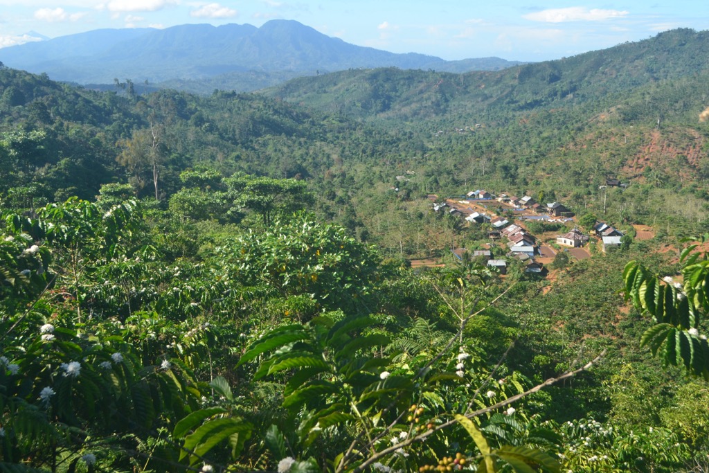
Bukit Barisan Selatan National Park is one of 54 national parks of Indonesia, an island nation in Southeast Asia and Oceania, located on its island of Sumatra. The main feature of the park is the Barisan Mountains range, for which it gets its name, which contains 35 active volcanoes. At the same time, the park is known for its diverse and unique flora and fauna. Together with two neighboring Kerinci Seblat National Park and Gunung Leuser National Park, it makes up a UNESCO World Heritage Site with the self-explanatory title of Tropical Rainforest Heritage of Sumatra with outstanding national and international value. There are 52 named mountains in Bukit Barisan Selatan National Park. Bukit Balirang (1,701 m / 5,581 ft) is the highest point. The most prominent mountain is Bukit Penyabungan (1,688 m / 5,538 ft).