
Scan the QR code and open PeakVisor on your phone
Nelson is located on the northern end of New Zealand’s South Island. The city and surrounding area lie on the east side of Tasman Bay and are bordered by the Tasman and Marlborough districts. The region has 37 named mountains. The highest is Saddle Hill (1,218 m / 3,996 ft), and the most prominent is Drumduan (668 m / 2,192 ft), with 586 m (1,923 ft) of elevation gain from its surroundings.
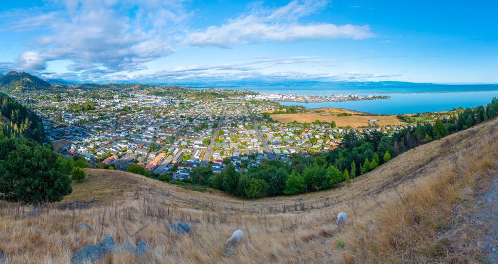
Nelson is located on the northern end of New Zealand’s South Island. It runs along the eastern side of Tasman Bay from Waimea Inlet to Cape Soucis. The city is neighbored to the west and southwest by the Tasman District and to the east and southeast by the Marlborough District.
Hills rise inland from the coast and transition into the Richmond Range that separates Nelson and the Marlborough district. The city’s water comes from dams along the Maitai and Roding rivers.
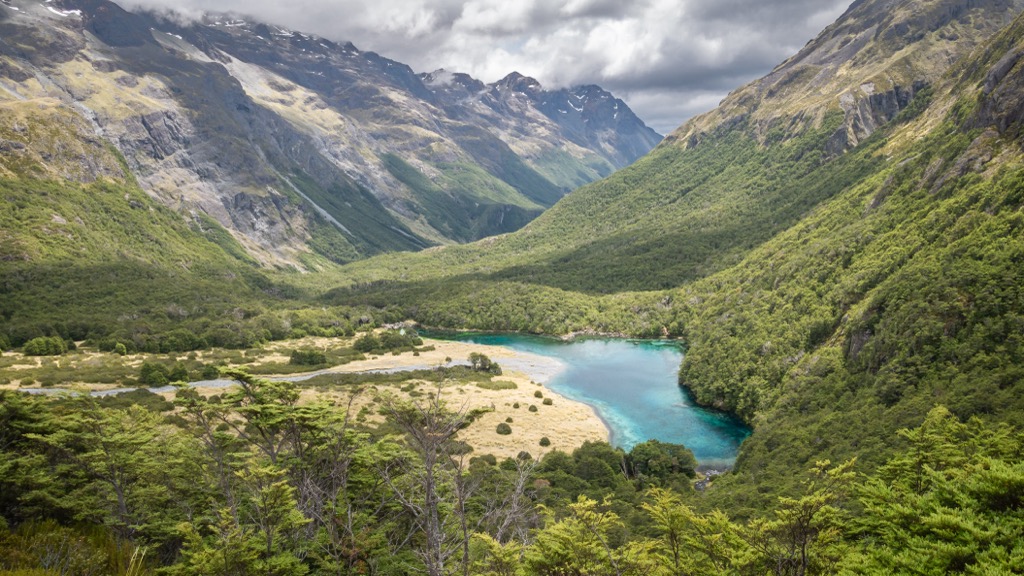
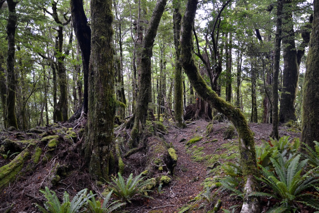
The area contains diverse ecological zones, from unique geological formations along the coast to the Dun Mountain mineral belt, not to mention the native forests and estuaries. Wildlife reserves, bike parks, and hiking trails near the city offer easy access to outdoor recreation. Kahuranghi National Park, Abel Tasman National Park, and Nelson Lakes National Park are all about an hour’s drive from downtown, providing access to larger mountains as well as some of the country’s most beautiful landscapes.
Meanwhile, the valleys of the Nelson region, such as the Waimea and Moutere Valleys, are fertile and support various agricultural activities, including fruit orchards, vineyards, and hop farms. Nelson is known for its wine production and is one of New Zealand's premier wine-producing regions.
The Nelson district has a complex geological composition. The eastern hills comprise exposed igneous and sedimentary rocks from the late Paleozoic to the Mesozoic era. The district’s center contains sandstone, mudstone, and limestone from the Eocene, Miocene, and Pliocene eras. Some areas, particularly valley floors and coastal areas, are overlaid by sediment from the Quaternary.
The district contains unique geological zones. The Dun Mountain (1,136 m / 3,730 ft) mineral belt occupies the high country southeast of Nelson. This mineral belt stretches from D’Urville Island to the Red Hills in the south and is distinct for its high mineral content, low soil fertility, and the harsh climate it experiences. The mineral belt originated 280 million years ago as molten lava spread across the continental crust of Gondwana.

The belt is rich in iron, magnesium, cobalt, and nickel. The Copper Mining Company extracted chromite ore at Wooded Peak north of Dun Mountain in the 1860s. They constructed the Dun Mountain Railway to carry ore to Port Nelson. This endeavor, however, was short-lived. The railroad opened in 1862, but the mining quickly depleted the ore, and the mine closed by 1866. The historical route is now a hiking and biking trail.
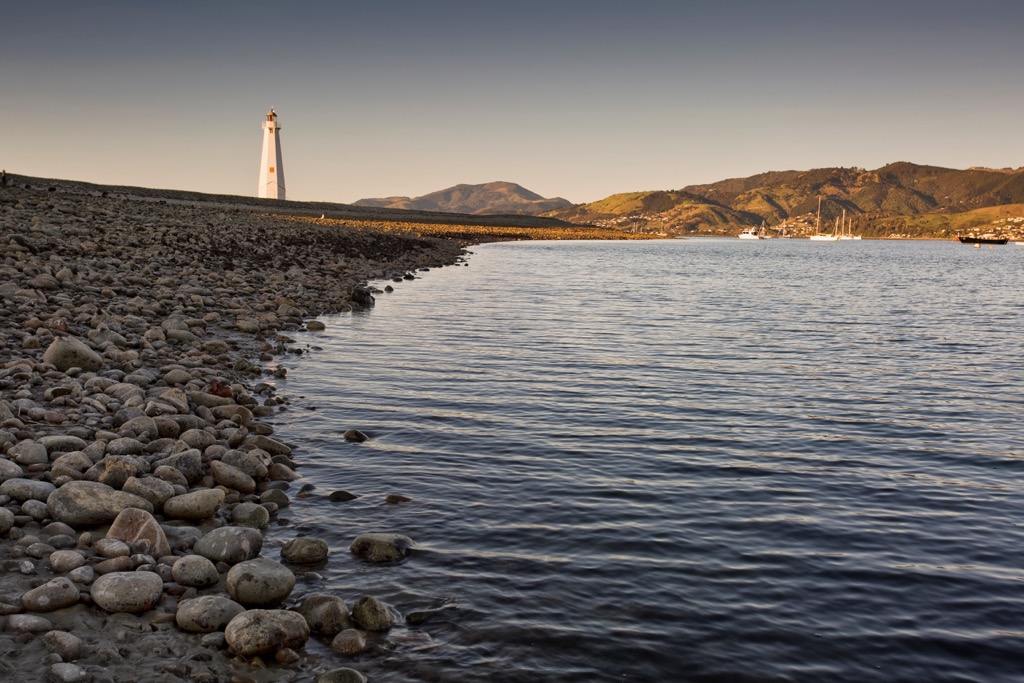
A second rare geological feature of the district is Boulder Bank. This 13.5 km (8.4 mi) barrier stretches from MacKay Bluff to the man-made cut in Nelson Harbor. It is composed of granodiorite pebbles and boulders. The granodiorite intruded into the earth’s crust between 140 and 145 million years ago. Subsequent uplift and erosion brought the granodiorite to the surface. As chunks of rock fall from MacKay Bluff, they are carried by currents to the southwest. These hard rocks don’t break quickly; instead, they become smoother and rounder from years of grinding against each other.
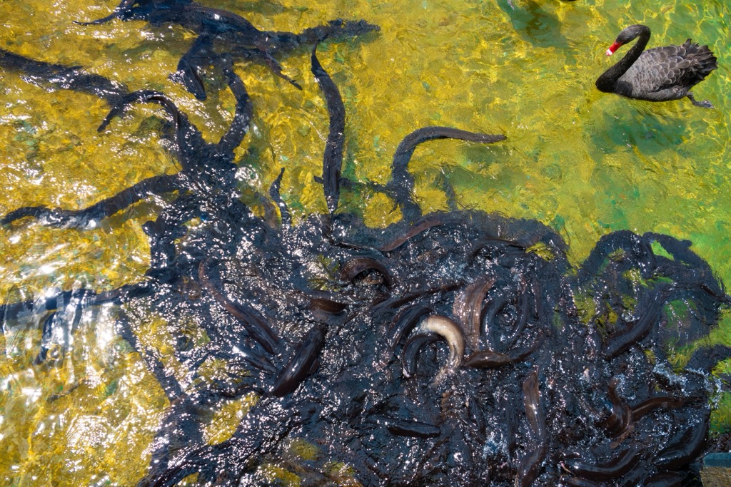
The Nelson District has a wide range of ecosystems, from estuaries and dunes to forests, riparian habitats, and the Dun Mountain mineral belt. Centuries of activity from Māori and European settlers, as well as non-native species, have heavily modified the landscape.
When Europeans arrived, Nelson was covered in toe-toe, fern, and manuka with some wooded areas that provided essential timber and firewood. The region is one of New Zealand’s sunniest while simultaneously receiving abundant rain from storms from the north and west. The climate has made it an important agricultural zone, particularly for crops like hops and tobacco.

There are a few areas of focus for conservation. Dun Mountain, with its high mineral content and toxic soils (ultramafic soils), hosts resilient and specially adapted species. For example, the mineral belt montia has fibrous roots that enable it to survive freezes and thaws that periodically lift and expose its roots. Another example is the mineral belt forget-me-not, endemic to Dun Mountain and the nearby Red Hills in Mount Richmond Forest Park. Most forget-me-nots are self-pollinating, but this species uses scent to attract insects that help spread pollen as they brush against the plants.

Insects found in the Dun Mountain mineral belt include the forest ringlet butterfly. Although it is not endemic to the region, the butterflies on the mountain are abnormally small due to climatic conditions and exist only above 600 m (1,970 ft), where introduced predatory wasps do not survive.
The carnivorous giant land snail found throughout many parts of New Zealand also lives here. This particular subspecies is one of the smaller variants of these land snails. Its shell measures an average of about 6 cm (2.4 in) across, while other species grow up to 9 cm (3.5 in).
Native forests remain along the upper Maitai and Roding Rivers, running from the mineral belt to the city and Mount Richmond Forest Park. This 10,000 ha (24,710 acre) area is significant as both a source of Nelson’s potable water and for the biological diversity it protects.
Near the city, the Brook Waimarama Sanctuary is a 691 ha (1,707 acres) native wildlife habitat that supports numerous reptiles, birds, fish, and invertebrates. The Nelson Halo is a district project to support habitat enhancement and predator control in the land surrounding the sanctuary.
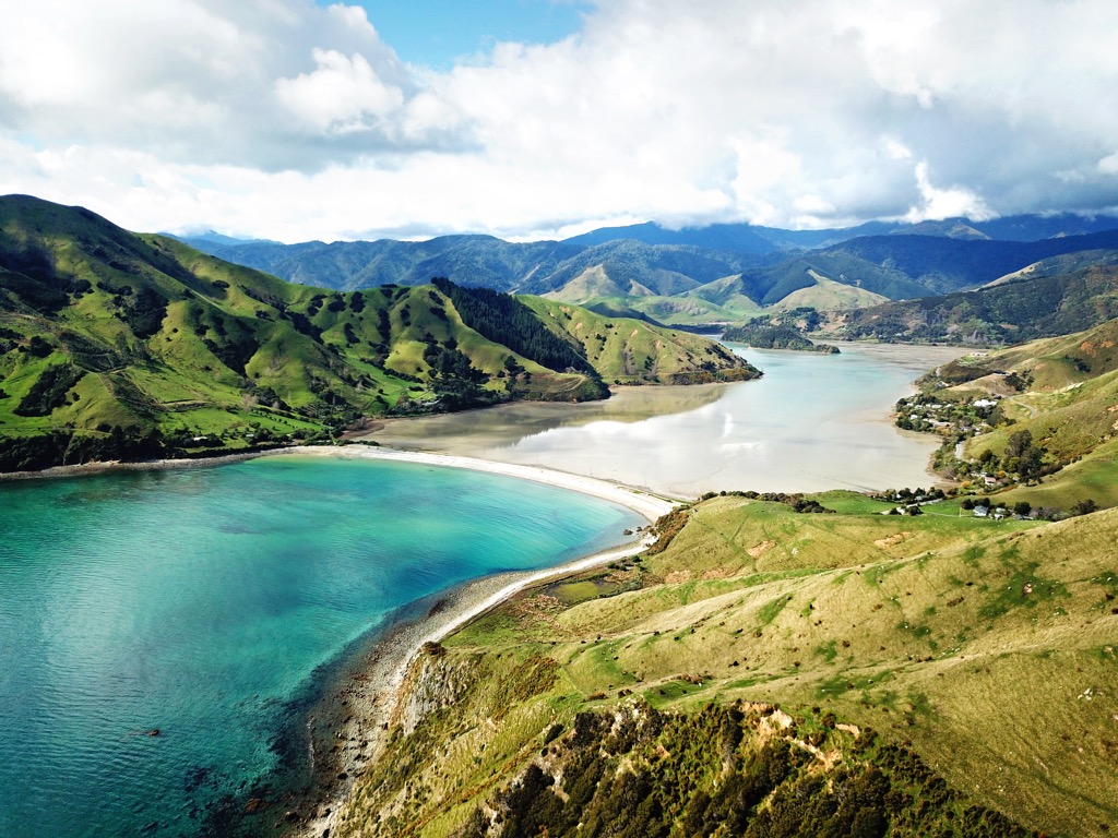
A third area of conservation focus is along the coastline. The coast encompasses a range of marine ecosystems, including the Waimea Estuary, the golden sand beaches at Tahunanui, the cliffs around Cape Soucis, and the rare boulder bank near Nelson Harbor. The boulder bank creates a habitat for rare plant and animal species, including native forget-me-nots, lizards, and shorebirds like the banded dotterel, red-billed gull, and white-fronted tern.
Māori have lived around Nelson since the 1300s. Early Māori made quarries around Dun Mountain to extract argillite for adzes and tools. Today eight tribes call the land home – the Ngāti Kuia, Ngāti Apa, Rangitāne, Ngāti Toa, Ngāti Koata, Ngāti Rārua, Ngāti Tama, and Te Āti Awa.

The first encounter with Europeans near the region occurred in 1642 along Golden Bay when Abel Tasman arrived. It was a brief encounter, and Māori killed several members of his crew. Sealers, whalers, and traders began passing through in the 1820s, and the French explorer Dumont d’Urville landed in Tasman Bay in 1827.
Foreigners didn’t settle the region until 1842, when the New Zealand Company arrived. Most settlers were British, with a few Germans mixed in. Settlers faced conflict with the Māori as they set their sights on the Wairau Plains for more farming land. Although this conflict slowed the Europeans, it didn’t ultimately alter the course of settlement in the area.

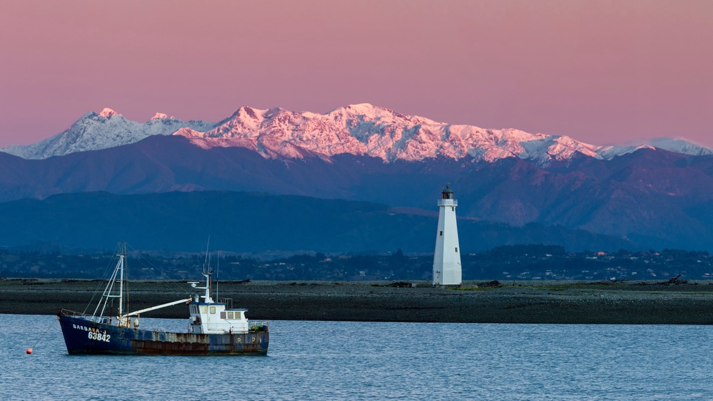
Except for a few small mining booms, the region’s primary industry is agriculture and livestock. It receives a fair amount of local tourists in the summer but doesn’t experience the same influx of camper vans and tourism as other towns on the South Island.
Nelson has nearby trails and bike parks that make it easy to get out and stretch your legs. Those looking for intense, multi-day treks must visit the nearby Tasman or Marlborough districts.
The Coppermine Trail up Dun Mountain is done as a short 4.3 km (2.7 mi) loop or a 43 km (26.5 mi) route beginning in town.
The short loop is 4.3 km (2.7 mi) with 168 m (550 ft) of elevation gain. It leaves from The Brook near Nelson and is popular for hiking, trail running, and biking. One section of the route is on a road, but overall, the hike has pleasant scenery and good views.
The extended version often used by mountain bikers is around 43km (26.5 mi). The route begins in the city and passes through Codger Mountain Bike Park before climbing Dun Mountain. Highlights include great views of Tasman Bay along the way and a luxurious 10 km (6 mi) downhill followed by a pedal through the Maitai Valley to finish the ride.

The Cable Bay Walk is a great day trip from the city. It is 14 km (8.8 mi) out and back, with around 915 m (3,000 ft) of elevation gain. The path follows Cable Bay, and there are steep sections that make this a real workout. Along the way, hikers are rewarded with lookouts over Boulder Bank, Nelson City, Cable Bay, the Horoirangi Marine Reserve, and the western ranges. Visitors should note that the trail may become slick after rain.
The Tawa, Mamaku, and Grampians Walkway forms a 4.7 km (2.9 mi) loop with slightly over 305 m (1,000 ft) of elevation gain, combining several trails near Nelson. The trail offers varied terrain, is moderately challenging, and provides good views from the top. It begins on the Tawa Track in town before joining the Mamaku Track. The trail cuts through pasture before entering a corridor of native vegetation, including the mamaku fern from which the track gets its name. Once out of the forest, there is a scenic lookout point to stop and rest along the Grampians Walkway.
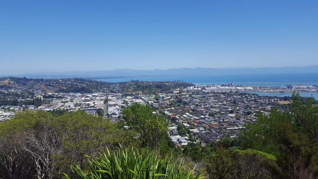
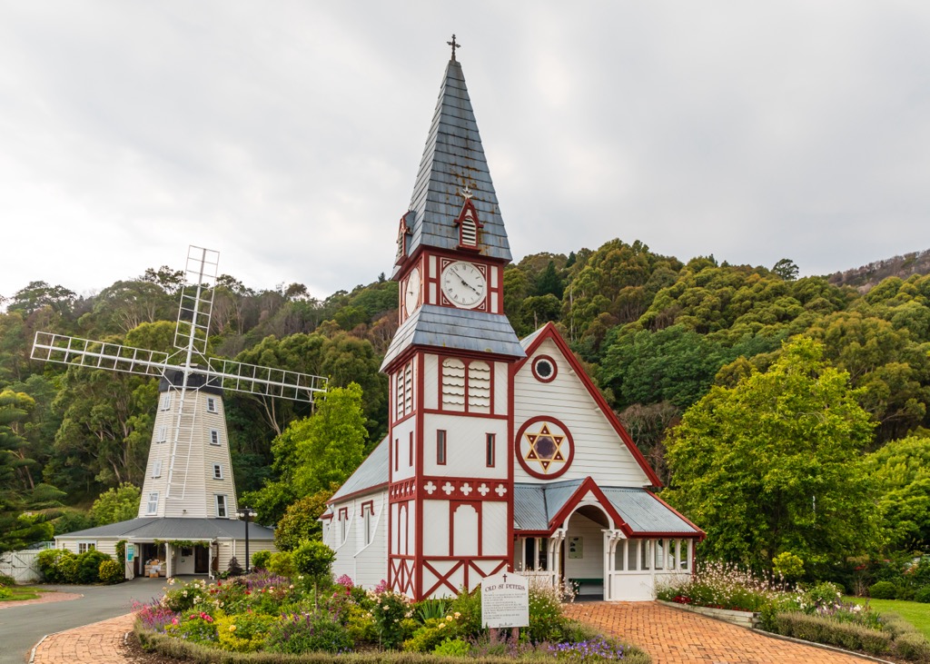
The city of Nelson is quieter than major tourist towns but is popular in summer for its sunshine and outdoor recreation. Larger cities near the district are Wellington, across Cook Strait on the North Island, and Christchurch, a few hours away by car on the South Island.
Nelson boasts a population of around 53,000 and was a hippie hotspot in the 1970s, infusing the city’s business culture with a flair for arts, crafts, and alternative lifestyles.
Today, the city doesn’t have the same caravan culture as other tourist towns, but it does offer backpackers hostels, B&Bs, and charming hotels. There’s a wide range of restaurants and meals, including fresh seafood, bar food, and vegetarian spots.
The city offers several walks; one popular path is the trail up Botanical Hill near the city center. There are some steep sections but sweeping views from the top. Another easy trail follows the Maitai River where walkers can cool off at a swimming hole or take a detour to visit the Queen’s Gardens. The Nelson Art Trail highlights small galleries and their various crafts.
Not far from the city and great for a half-day trip are the Brook Sanctuary, Tahunanui Beach, and Cable Bay.
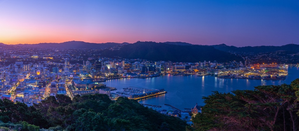
Wellington is the capital of New Zealand and has a population of around 115,000 people. It sits across Cook’s Strait from Nelson about a three-hour ferry ride away. Wellington is located on a scenic harbor and is a culture and food hub of the region. It has a big coffee culture, a range of cuisines and restaurants, and accommodation available for those on a budget and those looking for an upscale stay.
The Museum of New Zealand Te Papa Tongarewa is a must-see in town, with numerous exhibitions on the region’s history, natural history, arts, and culture. Many visitors take the cable car to a scenic lookout over the city, where they have the option to visit the Botanic Gardens and Carter Observatory located at the top.
Those looking for a quick but invigorating hike in the city can walk up to Victoria Lookout Point. Those who want to appreciate the views without the effort can drive to the top. The Zealandia Wildlife Reserve is near town and home to hundreds of native and protected species.
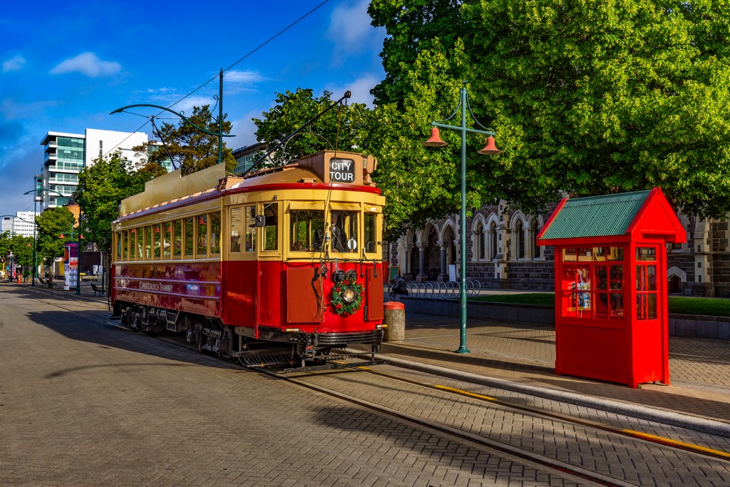
Christchurch is home to 380,000 people and is five hours away by car from Nelson. It is the largest city on the South Island. The city is known for its modern architecture and curated green spaces. Visitors will find lodging for all budgets here, as well as a vibrant restaurant and dining scene.
Those passing through can get a well-rounded experience by touring the botanic gardens, ziplining, mountain biking at the adventure park, and visiting the Canterbury Museum to glimpse the area’s history and culture. The Willowbank Wildlife Reserve is an excellent spot for nature lovers and boasts the New Zealand “Big 5” – the kiwi, kea, tuatara, kaka, and takahe.


