PeakVisor
Explorer
Import Photo
Get PeakVisor App
Search by GPS coordinates
Latitude
Longitude
Latitude
N
S
°
'
''
Longitude
E
W
°
'
''
Teleport
Latitude
Longitude
Units of Length
m/km
ft/mi
Сontact us
Myagdi
3
Mountains with prominence of 1 500 m / 4 921 ft or more.
Highpoint
Highest Peak:
Dhaulagiri
Elevation:
8 167 m
Glaciers:
45
Area:
101.6 km
2
40 mountains
By Prominence
By Prominence
By Elevation
Dhaulagiri
8 167 m (prom: 3 358 m)
Annapurna I
8 091 m (prom: 2 984 m)
Dhaulagiri II
7 736 m (prom: 2 368 m)
Dhaulagiri III
7 698 m (prom: 123 m)
Dhaulagiri IV
7 625 m (prom: 439 m)
Annapurna Fang
7 565 m (prom: 363 m)
Dhaulagiri V
7 556 m (prom: 291 m)
Khangsar Kang
7 386 m (prom: 57 m)
Churen Himāl
7 243 m (prom: 503 m)
Dhaulagiri VI
7 234 m (prom: 484 m)
Myagdi
There are 40 named mountains in Myagdi. The highest and the most prominent mountain is
Dhaulagiri
.
Highest Peaks
Dhaulagiri
8 167 m (prom: 3 358 m)
Annapurna I
8 091 m (prom: 2 984 m)
Dhaulagiri II
7 736 m (prom: 2 368 m)
Dhaulagiri III
7 698 m (prom: 123 m)
Dhaulagiri IV
7 625 m (prom: 439 m)
Annapurna Fang
7 565 m (prom: 363 m)
Dhaulagiri V
7 556 m (prom: 291 m)
Khangsar Kang
7 386 m (prom: 57 m)
Churen Himāl
7 243 m (prom: 503 m)
Dhaulagiri VI
7 234 m (prom: 484 m)
Most Prominent Mountains
Dhaulagiri
8 167 m (prom: 3 358 m)
Annapurna I
8 091 m (prom: 2 984 m)
Dhaulagiri II
7 736 m (prom: 2 368 m)
Tukuche Peak
6 838 m (prom: 987 m)
Bhitribang
3 530 m (prom: 920 m)
Annapurna South
7 193 m (prom: 825 m)
Nilgiri North
6 990 m (prom: 769 m)
Tilicho Peak
7 117 m (prom: 725 m)
Manapati
6 207 m (prom: 542 m)
Mukut Himal
6 580 m (prom: 533 m)
Register Peak
Peak Name
Latitude
Longitude
Altitude
Register
Teleport
PeakVisor
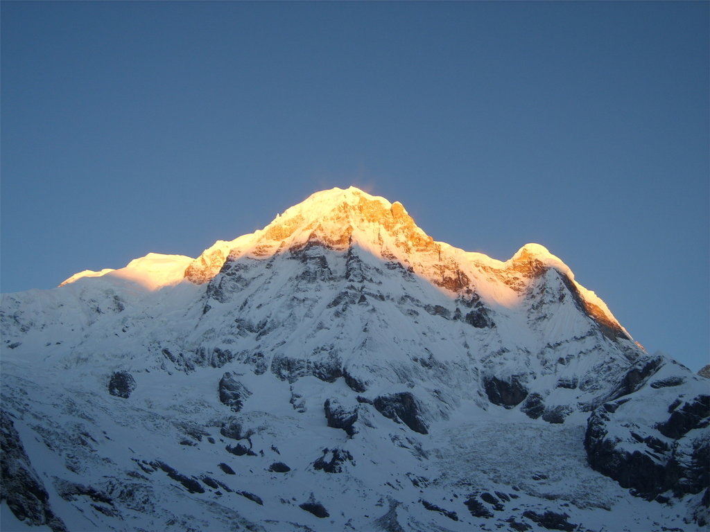
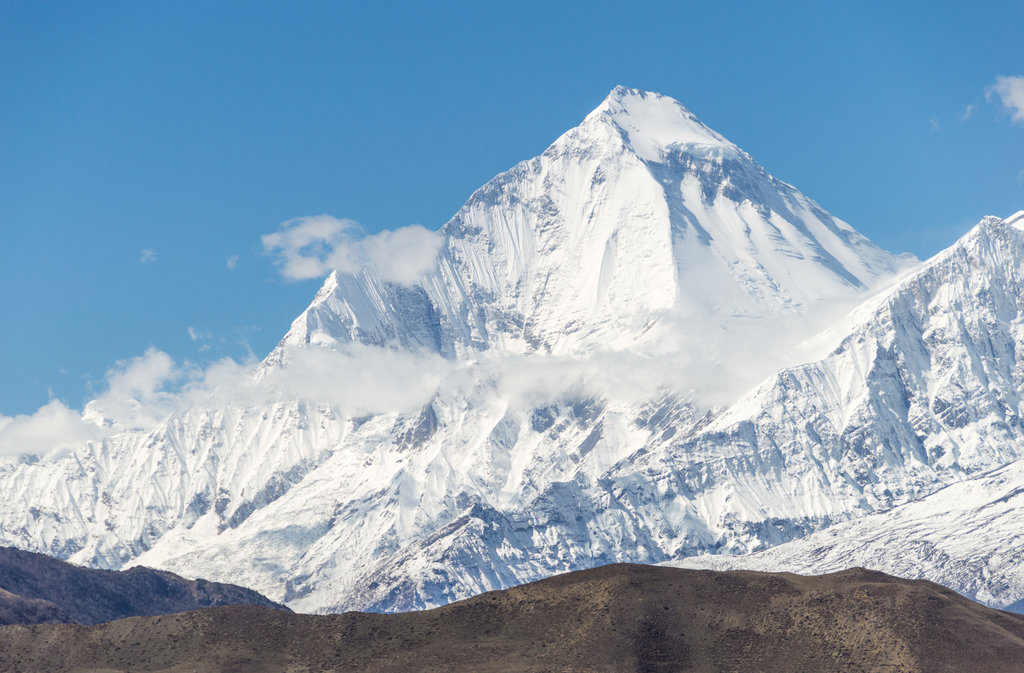
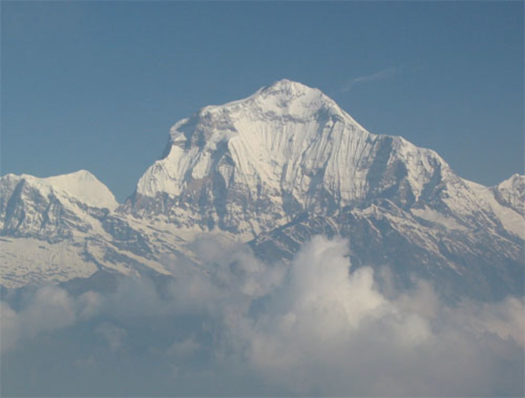
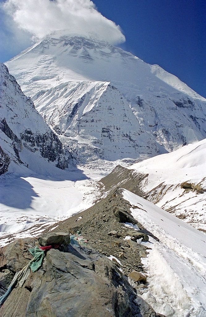
This 3D model of Sagarmatha National Park in Nepal was made using the PeakVisor app topographic data. The mobile app features higher precision models worldwide, more topographic details, and works offline. Download PeakVisor maps today.
Download
Peakvisor app
for mobile