
Scan the QR code and open PeakVisor on your phone
Ekurhuleni Metropolitan Municipality is home to 1 named mountain. The highest is Klipriviersberg at 1,810 m.
The City of Ekurhuleni Metropolitan Municipality is one of the key municipalities in the Gauteng province of South Africa. The 1 named mountain in the City of Ekurhuleni Metropolitan Municipality is Klipriviersberg, measuring 1,810 meters (5,938 ft).
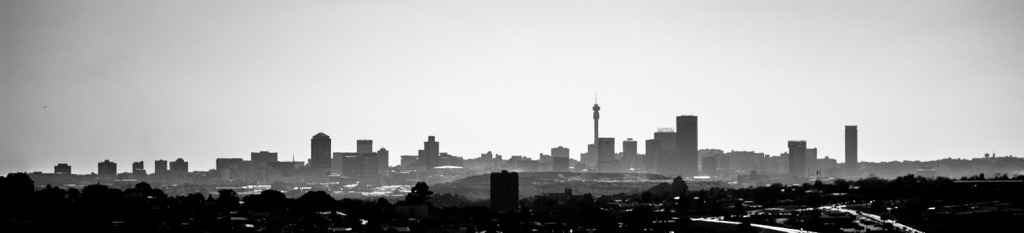
The City of Ekurhuleni Metropolitan Municipality is located in the eastern part of Gauteng, part of the Johannesburg-Witwatersrand-Vereeniging region, a key economic area in the country. The city lies south of Pretoria, with Johannesburg to the west and Tshwane to the north. Ekurhuleni’s central location makes it an important hub for commerce, industry, and transportation in Gauteng.
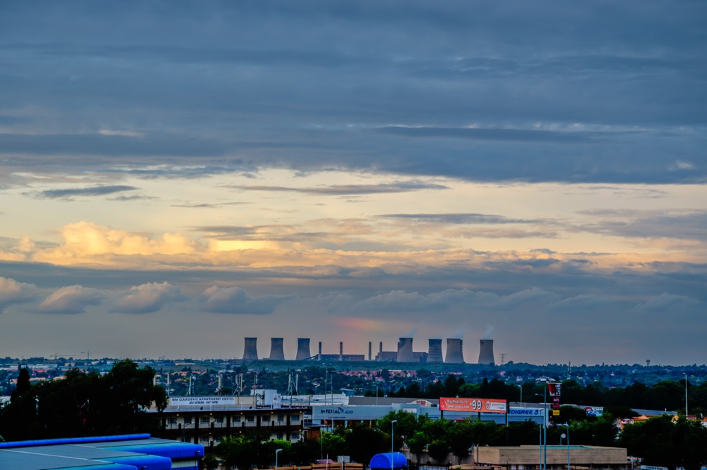
The municipality covers 197,500 ha (488,033 ac) and includes several towns and suburbs, such as Alberton, Benoni, Boksburg, Brakpan, Germiston, and Kempton Park. It is a mix of urban, suburban, and industrial zones, each contributing to the municipality’s economy. The city is divided into smaller regions with both residential and commercial areas.
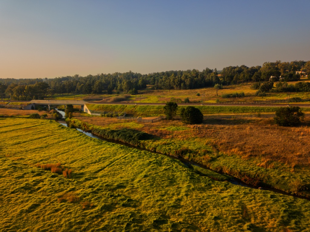
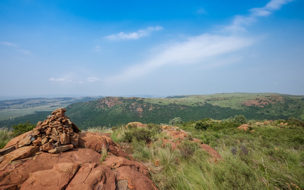
Ekurhuleni’s topography is mostly flat with gentle undulations, characteristic of the Highveld plateau. The region features ridges and valleys, especially in the northern and eastern parts, with an elevation ranging from 1,400 meters (4,593 ft) to 1,800 meters (5,906 ft).
Several rivers flow through or near Ekurhuleni, including the Vaal River to the south and the Jukskei River, which runs through parts of the city. The Blesbokspruit, a wetland area, adds to the municipality’s natural landscape.
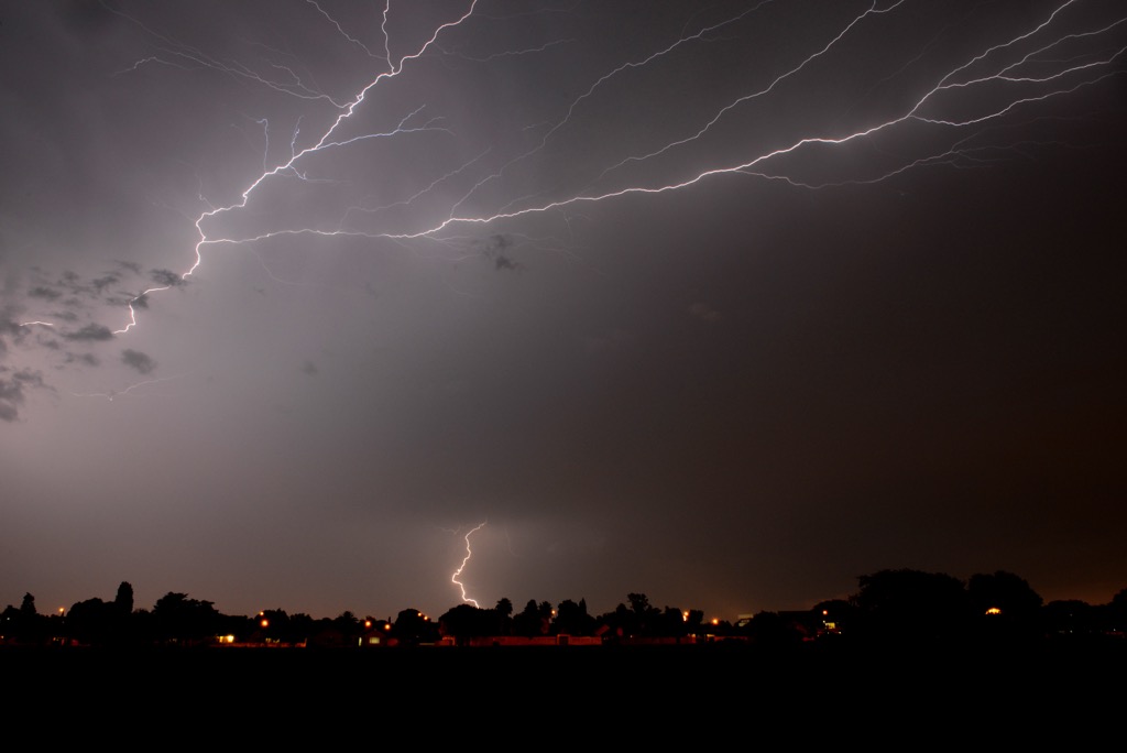
Ekurhuleni has a temperate climate with summer rainfall and hot temperatures. Summers can exceed 30°C (86°F) and feature afternoon thunderstorms. Winters are cool and dry, with temperatures often dropping to 5°C (41°F) at night.
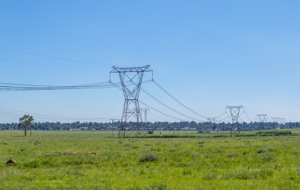
The municipality has a well-developed transport network. Major highways such as the N1, N3, N12, and R21 connect it to other parts of Gauteng and surrounding provinces. O.R. Tambo International Airport in Kempton Park, the busiest airport in Africa, is a major transportation and logistics hub. The Germiston railway station provides rail connectivity to Johannesburg and Pretoria.
Situated within the Kaapvaal Craton, the City of Ekurhuleni Metropolitan Municipality’s bedrock consists primarily of Archaean rocks, such as granite and gneiss, dating back 3.5 billion years. Over the bedrock, 2.5 billion old Transvaal Supergroup deposits include shale, quartzite, and iron-rich rocks, which are known for containing valuable minerals like gold and manganese.
The municipality lies near the Witwatersrand Basin, known for its gold deposits, though gold mining is more prominent in surrounding areas. Younger sedimentary deposits from the Karoo Supergroup (300 million years old) also occur in parts of Ekurhuleni, including coal-bearing layers important for the country's energy production.
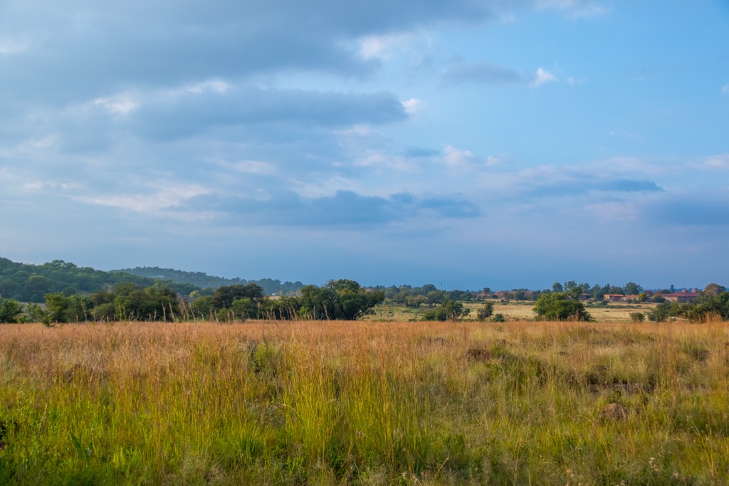
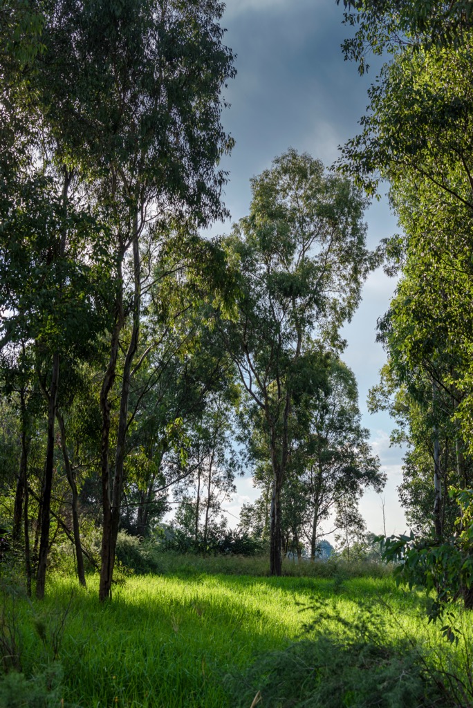
Ekurhuleni is situated on the Highveld plateau, with flat terrain and occasional valleys. The climate is temperate, with warm, wet summers and cooler, dry winters, supporting a variety of plant and animal species. The region’s vegetation is primarily Grassland Biome, with areas of Savanna in the south. Urban development has largely replaced natural vegetation, but some remnants remain.
The municipality has several water bodies, including the Blesbokspruit, Jukskei River, and Germiston Lake. These rivers and wetlands support biodiversity, but pollution from industrial and residential areas threatens water quality and ecosystem health.
Before European settlers arrived in the City of Ekurhuleni Metropolitan Municipality, the area was home to Tswana, Nguni, and Sotho peoples who practiced agriculture and trade.
In the early 19th century, the area became part of British-controlled South Africa. Its proximity to Johannesburg, a mining center, spurred industrial growth. Railroads and the discovery of gold led to heavy industry, shaping the region’s economy.
Under apartheid, black communities were relocated to townships like Katlehong and Vosloorus, where living conditions were poor. Despite this, the townships became centers of resistance, particularly during the 1980s.
After the end of apartheid in 1994, Ekurhuleni underwent a significant transformation. The city diversified economically, benefiting from its proximity to OR Tambo International Airport.
Modderfontein Nature Reserve offers diverse landscapes, including wetlands, grasslands, and woodlands, and supports a variety of flora and fauna. The 11.4 km (7 mi) Modderfontein Dam Loop provides a moderate challenge with scenic views of historic sites, while the 7 km (4.4 mi) Modderfontein Dam Trail passes waterfalls. Bird watchers can spot species like Fish Eagles from designated hides, and cyclists have access to trails up to 42 km (26 mi) long.
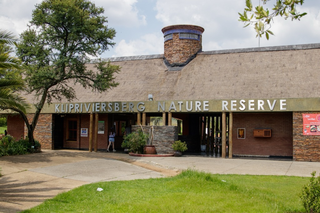
The Klipriviersberg Nature Reserve is Johannesburg’s largest nature reserve at 640 ha (1,581 ac). Popular trails include the challenging 17 km (10 mi) Klipriviersberg Loop, which follows the reserve’s border with a steep ascent, the beginner-friendly 3 km (2 mi) Dassie Trail, and the 2 km (1.2 mi) Kiepersol Trail, featuring a mix of grasslands, bushveld, and forests. The 12 km (7 mi) Wildlife Loop integrates the Bloubos, Tswana, Kiepersol, and Wildebeest trails, with an elevation gain of 509 meters (1,700 ft). The reserve hosts zebra, red hartebeest, black wildebeest, and around 230 bird species.
Suikerbosrand Nature Reserve is located near Heidelburg and covers 11,595 ha (28,650 ac). Yellow and black cheetah symbols mark the 4 km (2.5 mi) Cheetah Trail, which offers an easy hike, although with minimal shade. More experienced hikers can tackle the Bokmakierie Trail, which features 10 km (6 mi) and 11.5 km (7 mi) routes with steep, rocky terrain and bushveld scenery. The reserve provides views of Perdekop, along with the hills of Suikerbosrand, Heuningkrans, and Vaalkop. A 66 km (41 mi) network of overnight trails with basic huts is also available. The diverse landscape includes grasslands, wooded gorges, acacia woodlands, marshlands, and fynbos.
The Wilds Nature Reserve is a 16 ha (40 ac) green space with well-maintained hiking trails. Set among rocky hills, it features indigenous vegetation and scenic urban views. The main 1.6 km (1 mi) trail is moderately challenging and takes about 25 minutes to complete. The park remains evergreen, with red aloes adding color in winter. Indigenous plants, flowers, gardens, and waterfalls enhance the experience.
Kempton Park is a city in the East Rand region of Gauteng province. It is known for O.R. Tambo International Airport, which is a significant hub for domestic and international travel.
Located just outside Kempton Park, the Lion & Safari Park offers a natural setting for wildlife viewing, including lions, cheetahs, and wild dogs. Guided game drives allow visitors to have close encounters with these animals.
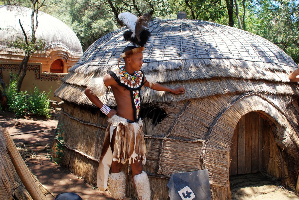
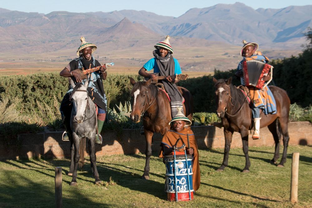
In the city, visitors will find Lesedi Cultural Village, which showcases South Africa’s diverse cultures with traditional homesteads inhabited by Zulu, Xhosa, Pedi, Basotho, and Ndebele tribes.
While not located directly in Kempton Park, the Soweto & Apartheid Museum Tour provides an insightful look at the township of Soweto and the informative Apartheid Museum.
Benoni, located on the East Rand of Gauteng, is about 26 km (16 mi) east of Johannesburg. Established in 1887 after the discovery of gold, it has grown from a mining camp into an urban area. Benoni has many outdoor areas of interest for families and visitors.
Homestead Dam offers a peaceful retreat for picnics, fishing, and boating, while the nearby Korsman Bird Sanctuary is ideal for birdwatching and nature walks. Bunny Park lets visitors interact with rabbits and other small animals. It's set in a quiet location so visitors can enjoy the peaceful outdoors. Willowmoore Park is a historic cricket ground. It hosts local matches and is a popular destination for sports enthusiasts.


Yes. Ekurhuleni Metropolitan Municipality has 1 named mountain. The highest is Klipriviersberg at 1,810 m.
The highest mountain in Ekurhuleni Metropolitan Municipality is Klipriviersberg, at 1,810 m.
Ekurhuleni Metropolitan Municipality has 1 named mountain.


